Plizio Visual Lab
Mount Austen

Weather…
Water temperature…
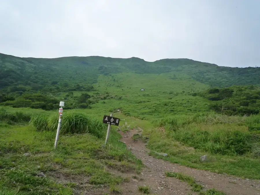
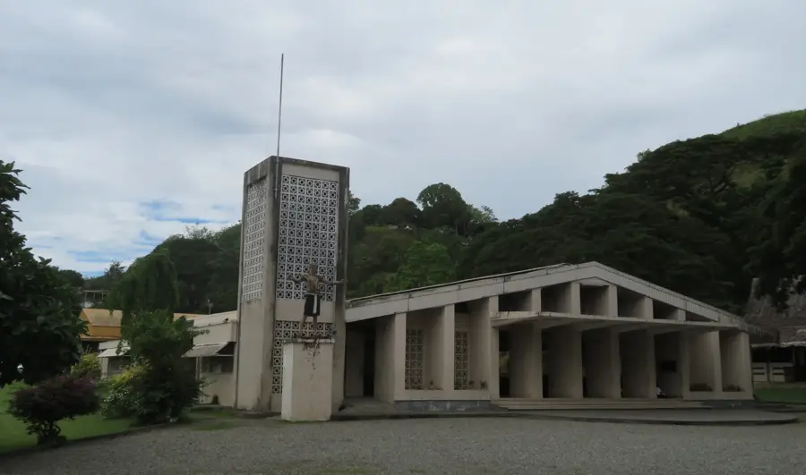
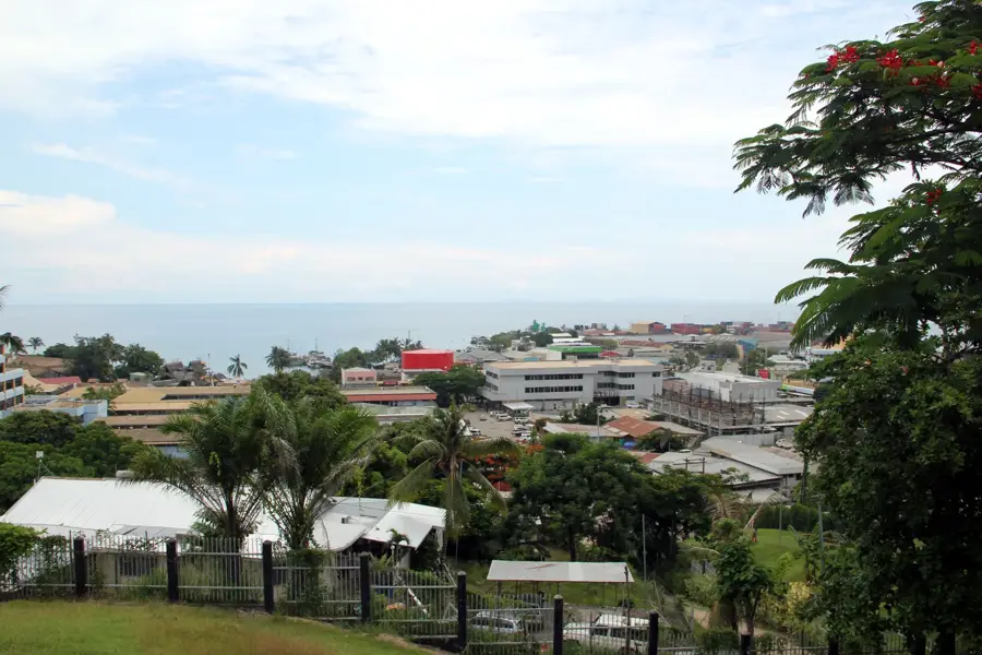
Mount Austen, rising to an elevation of 410 meters, served as a formidable Japanese stronghold during the Guadalcanal Campaign. The area, particularly the 'Gifu' strongpoint named after a Japanese prefecture, was a sophisticated network of pillboxes and tunnels concealed by dense jungle. It remained a thorn in the side of Allied forces for months, as it overlooked the Lunga plains and Henderson Field, allowing the Japanese to observe American movements. The battle to clear the ridge in January 1943 involved some of the most difficult mountain warfare of the campaign, requiring the US 25th Infantry Division to neutralize well-entrenched defenders one bunker at a time. Today, the mountain is a place of pilgrimage, featuring a large Japanese Peace Memorial and several US monuments. The summit provides a clear tactical view of Honiara and the Ironbottom Sound, illustrating why both sides fought so desperately for its control.
- Location: Solomon Islands
- Nearby: Honiara (6 km)
Best time to visit & climate
The most pleasant time to visit is Jul–Sep.
| Jan | Feb | Mar | Apr | May | Jun | Jul | Aug | Sep | Oct | Nov | Dec | |
|---|---|---|---|---|---|---|---|---|---|---|---|---|
| Avg °C | 27 | 26 | 26 | 26 | 26 | 26 | 26 | 26 | 26 | 26 | 27 | 27 |
| Rain mm | 263 | 305 | 277 | 220 | 214 | 143 | 135 | 114 | 107 | 160 | 167 | 221 |
📋 Practical info
Geography
Facts
- The summit reaches an altitude of 410 meters above sea level.
- The 'Gifu' strongpoint was named after the home prefecture of many defenders.
- The final US assault was conducted by the 25th 'Tropic Lightning' Division.
- A major Japanese Peace Memorial was established here in the 1980s.
- Caves and remnants of Japanese fortifications are still tucked in the ridges.
- It serves as a primary site for World War II commemoration ceremonies.
Explore nearby
Notable places around
Route planner — Car & Motorhome
Where do you start? We build the route here, with stops and country notes along the way.
© OpenStreetMap contributors · OpenRouteService
Sights in the town Mount Austen (1)
Sights nearby
Frequently asked questions
What is special about Mount Austen?
Are there hiking trails there?
How long does the climb take?
Is the place suitable for families?
What should one take on the trip?
Mount Austen: where is it located?
Mount Austen: when is the best time to visit?
Mount Austen: why is it worth visiting?

Nearby cities


History & landmarks


More places