Plizio Visual Lab
Mbabanakira

ℹ️Practical info — Mbabanakira
▾
🌤 Weather — 5 days
📍 Nearby
Sights nearby
💡 Tips
- Access is challenging; coordinate flights to the local airstrip or boat trips with guides well in advance.
- Prepare for extreme humidity and sudden showers; waterproof gear is essential in the rainforest.
- Dress modestly and respect strict local customs; always follow your guide's lead.
- Bring all personal and medical supplies, as there are no shops or pharmacies here.
- Hire a local tracker from the village if you wish to explore the dense surrounding jungle safely.
🍽 Food
A popular leafy green foraged from the forest and cooked with coconut milk.
Yams and sweet potatoes are often slow-cooked in traditional hot stone ovens.
Often served during village feasts or special occasions, roasted slowly.
🛍 Shopping · 🧘 Quiet spots
Ask the local women about buying hand-woven baskets made from sturdy vines.
Occasional traditional carvings might be available to purchase directly from the artisans.
Stand quietly near the tree line at dawn to hear the incredible chorus of tropical birds.
Ask locals for a safe, slow-moving spot in the river for a refreshing dip.
Water temperature…
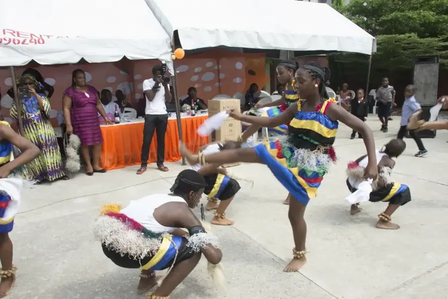
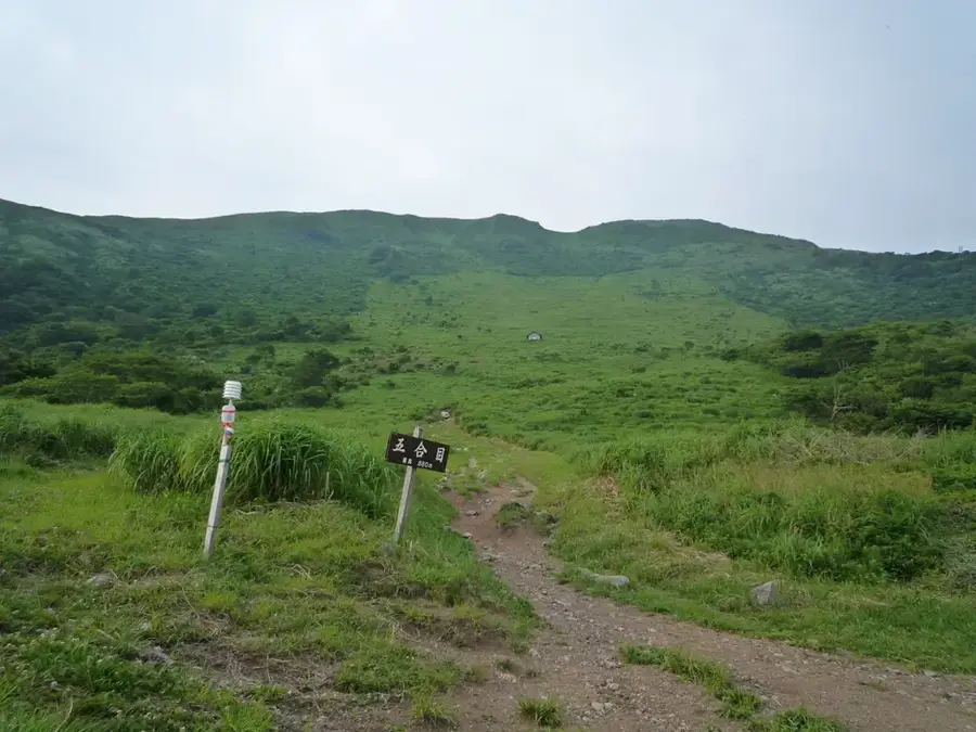
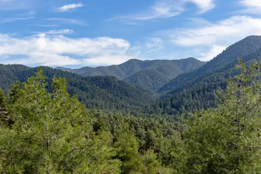
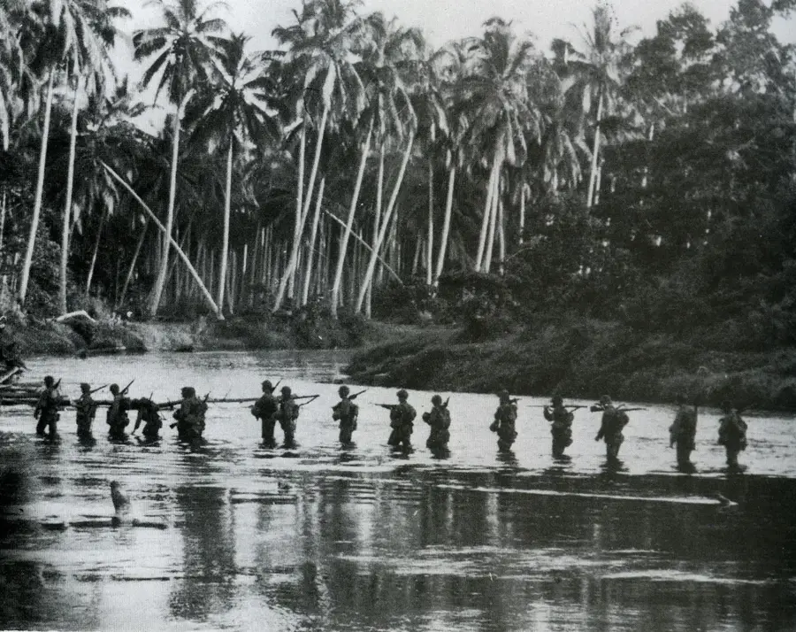
Mbabanakira is also located on the remote Weather Coast of southern Guadalcanal, situated to the west of Avu Avu. The settlement is one of the most isolated communities in the Solomon Islands, wedged between the Pacific Ocean and the massive foothills of Mount Popomanaseu, the highest peak in the country. Due to its extreme geographic position, Mbabanakira is accessible almost entirely by air or under challenging conditions by sea. The community lives self-sufficiently from the yields of their gardens and the sea, with traditional clan structures governing social life. Mbabanakira gained historical significance in the Solomon Islands through its involvement in regional political movements, yet today it remains a place of serenity and traditional Melanesian culture. The region holds immense ecological value, as it contains some of the last undisturbed primary rainforests on Guadalcanal, sheltering a vast array of endemic species.
- Location: Solomon Islands
- Nearby: Tenaru Falls (17 km)
Best time to visit & climate
The most pleasant time to visit is Jul–Sep.
| Jan | Feb | Mar | Apr | May | Jun | Jul | Aug | Sep | Oct | Nov | Dec | |
|---|---|---|---|---|---|---|---|---|---|---|---|---|
| Avg °C | 27 | 26 | 26 | 26 | 26 | 26 | 26 | 26 | 26 | 26 | 27 | 27 |
| Rain mm | 263 | 305 | 277 | 220 | 214 | 143 | 135 | 114 | 107 | 160 | 167 | 221 |
Geography
Facts
- Mbabanakira maintains a small airstrip, which is essential for medical evacuations and supplies.
- The settlement is positioned at the base of Mount Popomanaseu, the highest point in the Solomons (2,335m).
- The surrounding topography causes the sun to set significantly earlier behind the mountains.
- There are no road links connecting Mbabanakira to the capital, Honiara, on the opposite side of the island.
- The community maintains strong traditional governance through council of chiefs.
- Maritime transport is severely hampered by heavy swells and the lack of a natural harbor.
Explore nearby
Notable places around
Route planner — Car & Motorhome
Where do you start? We build the route here, with stops and country notes along the way.
© OpenStreetMap contributors · OpenRouteService
Sights in the town Mbabanakira (1)
Frequently asked questions
What is the atmosphere like in Mbabanakira?
Is Mbabanakira suitable for adventurers?
How do you get food there?
What language do they speak there?
What to do upon arrival?
Mbabanakira: where is it located?
Mbabanakira: when is the best time to visit?
Mbabanakira: why is it worth visiting?

Nearby cities


History & landmarks


Nature
More places