Plizio Visual Lab
Mataniko Falls

Weather…
Water temperature…
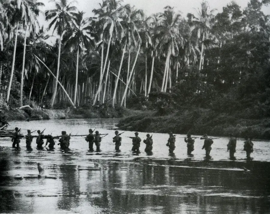
Mataniko Falls is a sweeping natural landmark located on the island of Guadalcanal, featuring a spectacular double waterfall that plunges into a sheer-sided limestone canyon. Over millennia, the Mataniko River has carved a complex network of caverns and tunnels beneath the falls, creating a unique subterranean ecosystem. These caves gained historical notoriety during World War II when they were utilized as a strategic stronghold and field hospital by Japanese forces during the final months of the Guadalcanal campaign. Geographically, the falls are situated in rugged, mountainous terrain accessible only via a rigorous multi-hour trek from Honiara. The natural architecture of the site includes massive stalactites and stalagmites within the caves through which the river flows before dropping into the gorge. Today, Mataniko Falls is a premier destination for adventure tourism, offering visitors a blend of raw tropical beauty and a direct encounter with the remnants of the Pacific War. The surrounding area is also critically important for local biodiversity and serves as a vital watershed for the national capital.
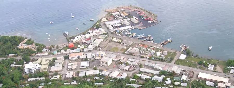
- Location: Solomon Islands
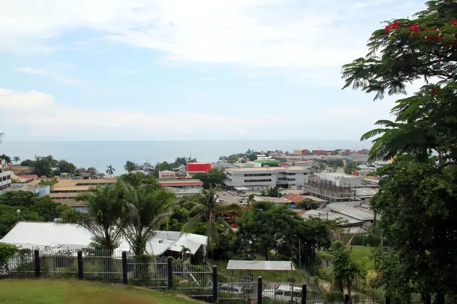
- Nearby: Point Cruz Business District (4 km)
Best time to visit & climate
The most pleasant time to visit is Jul–Sep.
| Jan | Feb | Mar | Apr | May | Jun | Jul | Aug | Sep | Oct | Nov | Dec | |
|---|---|---|---|---|---|---|---|---|---|---|---|---|
| Avg °C | 27 | 26 | 26 | 26 | 26 | 26 | 26 | 26 | 26 | 26 | 27 | 27 |
| Rain mm | 263 | 305 | 277 | 220 | 214 | 143 | 135 | 114 | 107 | 160 | 167 | 221 |
📋 Practical info
Geography
Facts
- The falls feature a dramatic double drop into a limestone gorge.
- The caves behind the falls served as a hospital for Japanese troops in 1942.
- Reaching the site requires a challenging hike through dense tropical jungle.
- The Mataniko River actually flows through the cave system itself.
- The area was a major battleground during the U.S. offensive in late 1942.
- It is a significant site for both geological study and WWII archaeology.
Explore nearby
Notable places around
Route planner — Car & Motorhome
Where do you start? We build the route here, with stops and country notes along the way.
© OpenStreetMap contributors · OpenRouteService
Sights in the town Mataniko Falls (1)
Sights nearby
Frequently asked questions
How hard is the hike to the Mataniko Falls?
Can you swim under the falls?
Are there toilets there?
What is the best time for photos?
Do I need to book a guide?
Mataniko Falls: where is it located?
Mataniko Falls: when is the best time to visit?
Mataniko Falls: why is it worth visiting?

Nearby cities


History & landmarks


More places