Plizio Visual Lab
Mount Lambi
Weather…
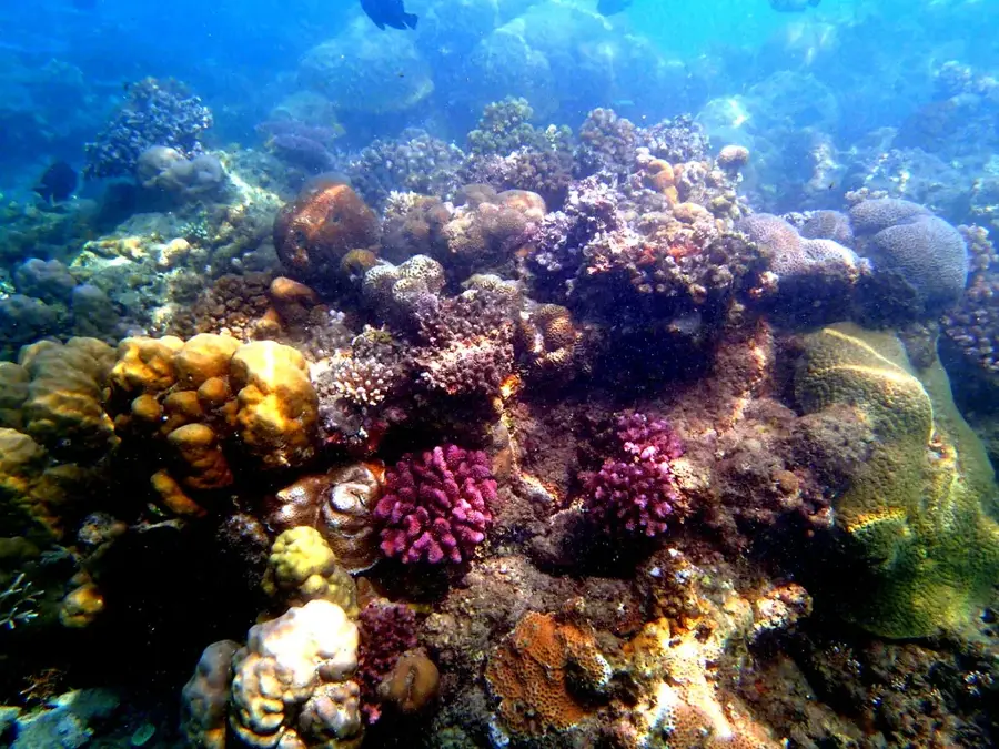
Water temperature…
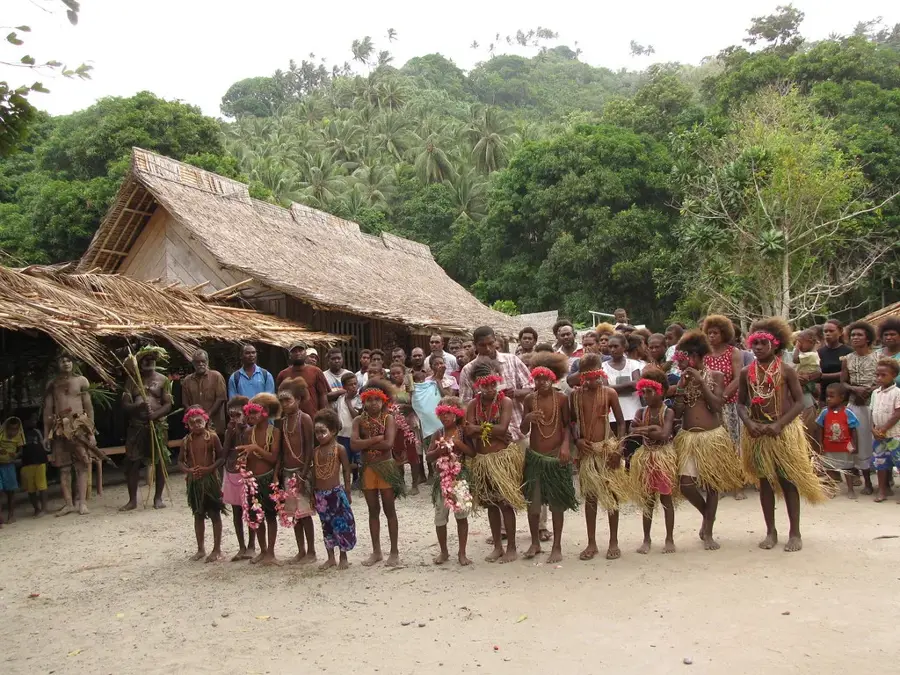
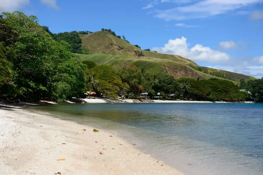
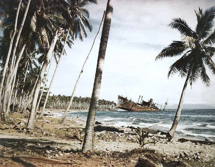
Mount Lambi is the highest point in the western part of Guadalcanal Island in the Solomon Islands. Rising above the surrounding coastal plains, it constitutes a distinctive topographical feature of the western province. Geologically, Mount Lambi is an ancient volcanic core, shaped by millions of years of erosion. The mountain is covered in dense rainforest that remains largely untouched to this day, providing an important sanctuary for endemic wildlife. Historically, the region around Mount Lambi was a center for traditional trade between coastal villages and inland settlements. During the Pacific War, the mountain served as a landmark for aircraft and ships monitoring the western approaches to Guadalcanal. Today, Mount Lambi plays a vital role for local water supply, as its slopes feed numerous streams that are essential for agriculture in the Lambi region.
- Location: Solomon Islands
- Nearby: Visale (11 km)
Best time to visit & climate
The most pleasant time to visit is Jul–Sep.
| Jan | Feb | Mar | Apr | May | Jun | Jul | Aug | Sep | Oct | Nov | Dec | |
|---|---|---|---|---|---|---|---|---|---|---|---|---|
| Avg °C | 28 | 28 | 28 | 28 | 28 | 28 | 28 | 28 | 28 | 28 | 28 | 28 |
| Rain mm | 271 | 301 | 273 | 225 | 162 | 163 | 164 | 132 | 122 | 171 | 160 | 204 |
📋 Practical info
Geography
Facts
- Mount Lambi is located in the far west of Guadalcanal island.
- The mountain reaches an elevation of approximately 800 to 1,000 meters.
- It marks the western end of the island's central mountain ridge.
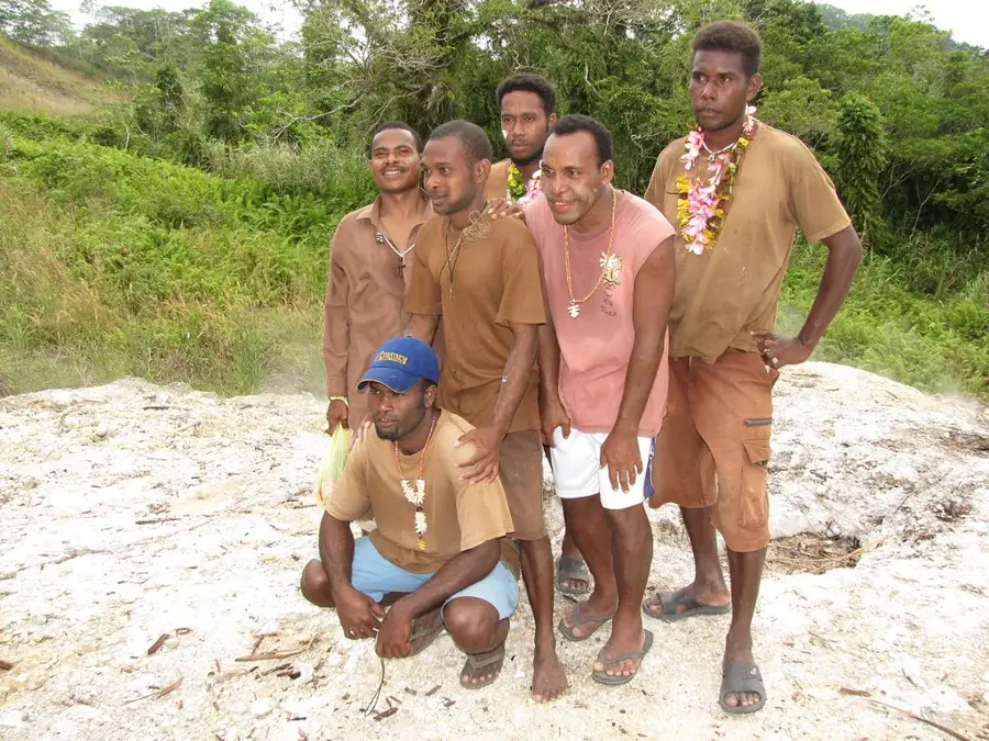
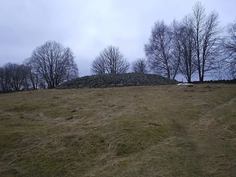
- The region is known for its traditional customs and ancestral sites.
- The vegetation consists primarily of tropical lowland and montane rainforest.
- Important watercourses flow from the slopes into Lambi Bay.
Explore nearby
Notable places around
Route planner — Car & Motorhome
Where do you start? We build the route here, with stops and country notes along the way.
© OpenStreetMap contributors · OpenRouteService
Sights nearby
Frequently asked questions
Is Mount Lambi a volcanic area?
Can one stay overnight there?
Are there dangers from sudden weather changes?
Is the hike signposted?
How do you get to the starting point?
Mount Lambi: where is it located?
Mount Lambi: when is the best time to visit?
Mount Lambi: why is it worth visiting?

Nearby cities


History & landmarks


More places