Plizio Visual Lab
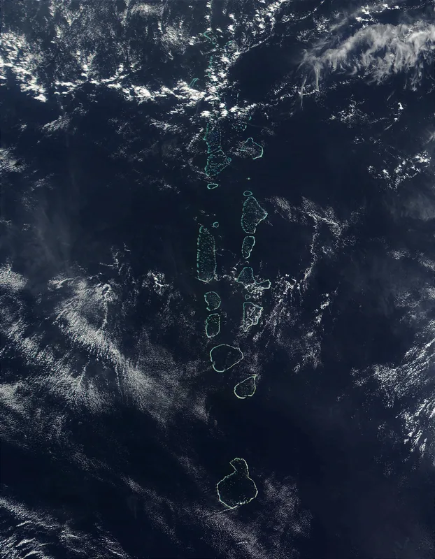
Savo Island
Weather…
Water temperature…
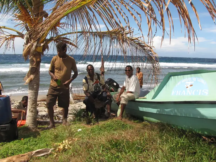
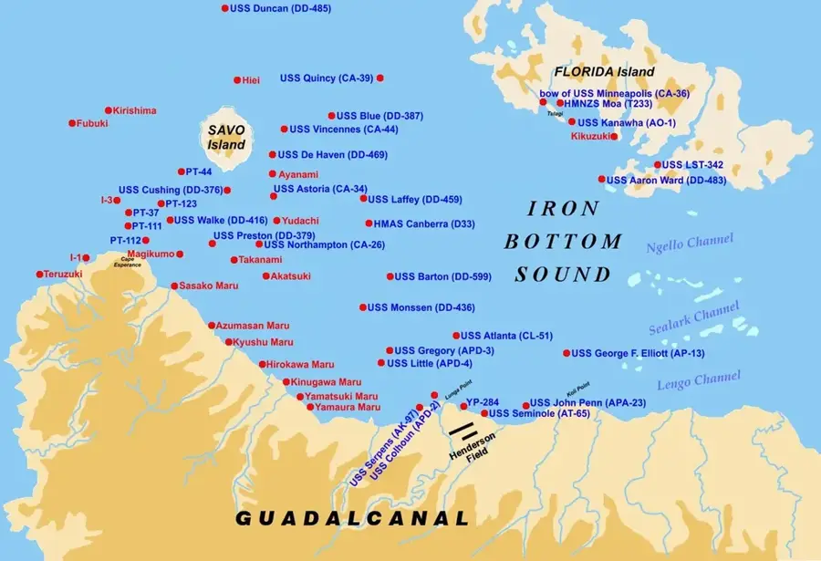
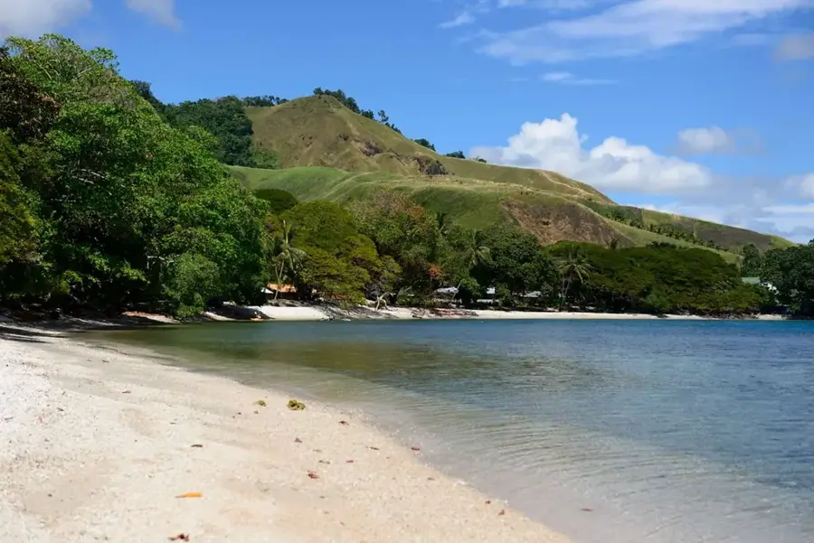
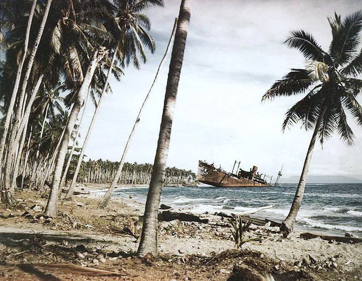
Savo Island is a circular volcanic island situated in the Iron Bottom Sound, approximately 35 kilometers northwest of Honiara on Guadalcanal. The island is dominated by an active stratovolcano that last experienced a significant eruption in the mid-19th century, around 1847, causing widespread displacement. Historically, Savo gained global prominence during World War II as the location of the Battle of Savo Island in August 1942. This naval engagement between Allied and Japanese forces resulted in the sinking of several heavy cruisers and contributed to the naming of the surrounding waters as Iron Bottom Sound. Today, the island is well-known for its megapode birds, which utilize the warm volcanic ash to incubate their eggs, and its geothermal springs. The local population resides in coastal villages, maintaining traditional subsistence lifestyles despite the ongoing volcanic monitoring of the peak. Its strategic position has made it a vital maritime landmark for centuries in the Solomon Sea region.
- Location: Solomon Islands
- Top sights: Pokilo Church · Paghopagho Church · Tsapaniata Church
- Nearby: Visale (22 km)
Best time to visit & climate
The most pleasant time to visit is Jun, Aug, Sep.
| Jan | Feb | Mar | Apr | May | Jun | Jul | Aug | Sep | Oct | Nov | Dec | |
|---|---|---|---|---|---|---|---|---|---|---|---|---|
| Avg °C | 29 | 28 | 28 | 28 | 29 | 28 | 28 | 28 | 28 | 28 | 28 | 29 |
| Rain mm | 284 | 282 | 271 | 215 | 201 | 187 | 195 | 167 | 169 | 193 | 194 | 218 |
📋 Practical info
Geography
Facts
- The last major volcanic eruption on Savo occurred between 1840 and 1850.
- The island has a diameter of about 6 kilometers and a total area of 31 km².
- In the Battle of Savo Island in 1942, the Allies lost four heavy cruisers in one night.
- Savo is located in the Iron Bottom Sound, home to dozens of WWII shipwrecks.
- Megapode birds lay their eggs in burrows up to 90 cm deep in the volcanic ash.
- The island features several hot springs and boiling mud pools in its interior.
Explore nearby
Notable places around
Route planner — Car & Motorhome
Where do you start? We build the route here, with stops and country notes along the way.
© OpenStreetMap contributors · OpenRouteService
Sights in the town Savo Island (3)
Tsapaniata Church
Christian church on Savo Island, a gathering place for believers.
Sights nearby
Frequently asked questions
What is Savo Island known for?
Can you climb the volcano?
How long does the journey from Honiara take?
Are accommodations available?
Is there a restaurant there?
Savo Island: where is it located?
Savo Island: what is there to see?
Savo Island: when is the best time to visit?
Savo Island: why is it worth visiting?

Nearby cities


History & landmarks

More places