Plizio Visual Lab
Savo Island Volcano
Weather…
Water temperature…
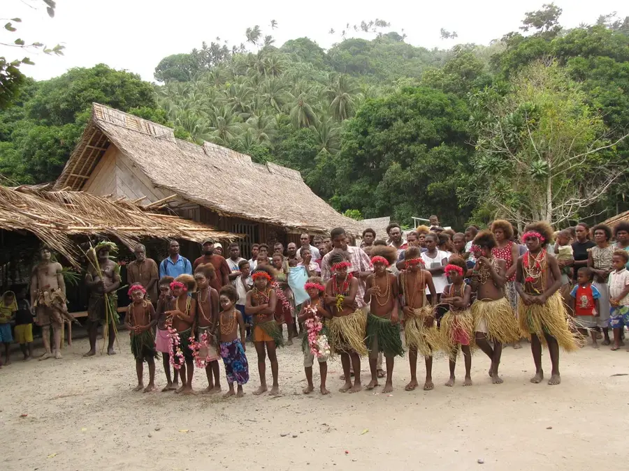
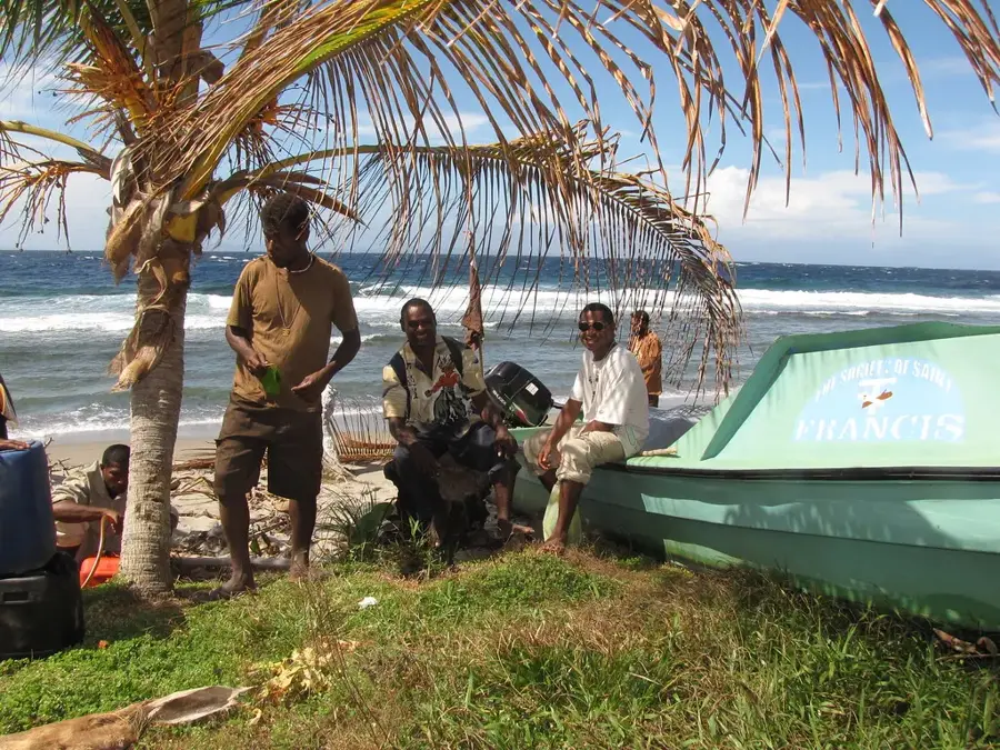
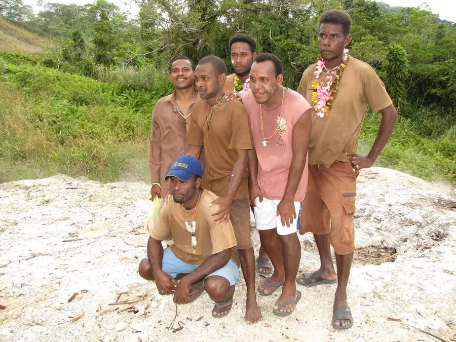
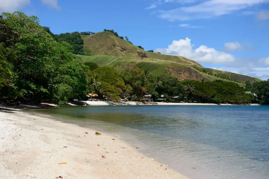
Savo Island Volcano is a potentially active stratovolcano situated approximately 35 kilometers northwest of Honiara. The volcano defines the entirety of the nearly circular island, which spans about six kilometers in diameter. Historically, Savo is recognized for its violent and unpredictable eruptions, with the last significant activity recorded during the mid-19th century. The island's geography features steep, densely forested ridges, active fumaroles, and steaming hot springs found both inland and along the coast. Indigenous residents have adapted to this geothermal environment, traditionally using the natural steam vents for cooking. A unique biological attraction of Savo is the nesting grounds of the megapode bird; these birds utilize the sun-warmed volcanic sand to incubate their eggs, which are a carefully managed local resource. Despite the ongoing volcanic hazard, the island remains inhabited and is a popular destination for geologists and adventurous hikers. Monitoring of the volcano is a critical priority for national disaster management authorities, as a major eruption could potentially trigger tsunamis across Ironbottom Sound toward the capital.
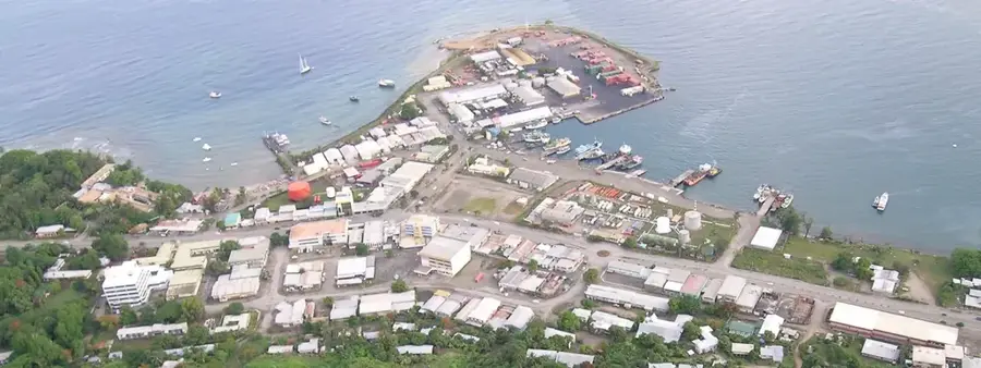
- Location: Solomon Islands
- Top sights: Monagho Church · Sesepi Church · Kaogele Church
- Nearby: Visale (22 km)
Best time to visit & climate
The most pleasant time to visit is Jun, Aug, Sep.
| Jan | Feb | Mar | Apr | May | Jun | Jul | Aug | Sep | Oct | Nov | Dec | |
|---|---|---|---|---|---|---|---|---|---|---|---|---|
| Avg °C | 29 | 28 | 28 | 28 | 29 | 28 | 28 | 28 | 28 | 28 | 28 | 29 |
| Rain mm | 284 | 282 | 271 | 215 | 201 | 187 | 195 | 167 | 169 | 193 | 194 | 218 |
📋 Practical info
Geography
Facts
- The last major eruption of Savo occurred between 1840 and 1850.
- The island's highest peak reaches an elevation of 485 meters.
- Local communities use geothermal steam vents for traditional pit cooking.
- Megapode birds dig burrows up to 3 feet deep in the warm volcanic sand.
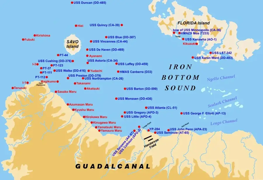
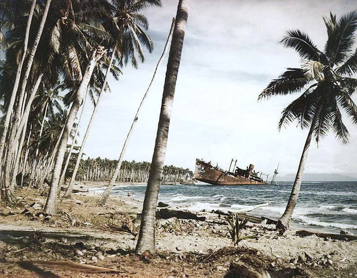
- The island is famous for being the site of several major WWII naval battles nearby.
- Savo is classified as a high-risk volcano due to its proximity to Honiara.
Explore nearby
Notable places around
Route planner — Car & Motorhome
Where do you start? We build the route here, with stops and country notes along the way.
© OpenStreetMap contributors · OpenRouteService
Sights in the town Savo Island Volcano (3)
Kaogele Church
Church on Savo Island, a place of worship.
Sights nearby
Frequently asked questions
Is the volcano on Savo island still active?
Can you climb the summit?
How do I get to Savo Island?
Is there any danger there?
How long does the tour take?
Savo Island Volcano: where is it located?
Savo Island Volcano: what is there to see?
Savo Island Volcano: when is the best time to visit?
Savo Island Volcano: why is it worth visiting?

Nearby cities


History & landmarks

More places