Plizio Visual Lab
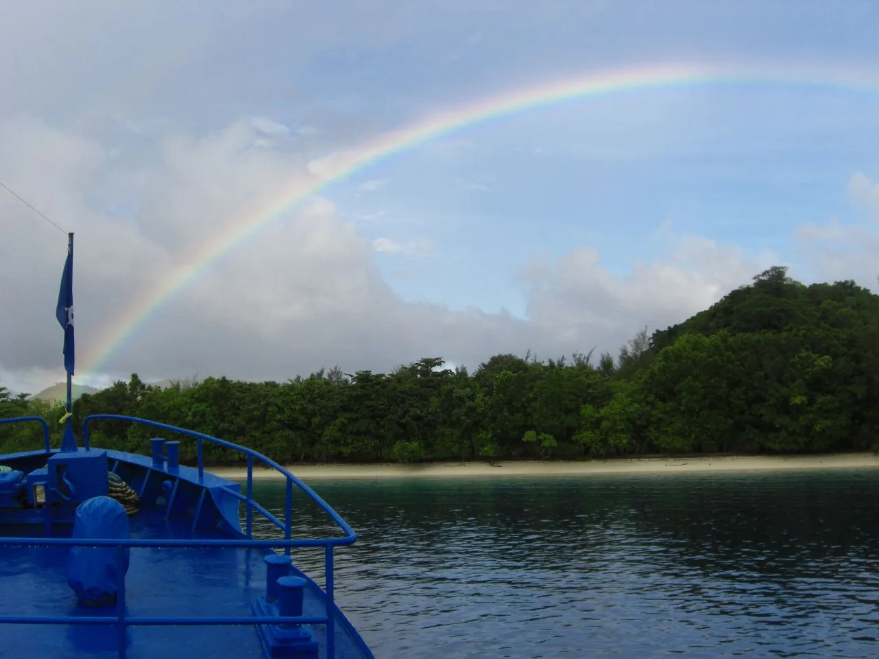
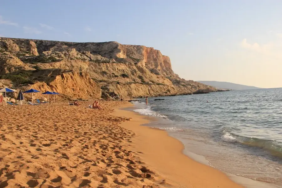
Blue Beach

Weather…
Water temperature…
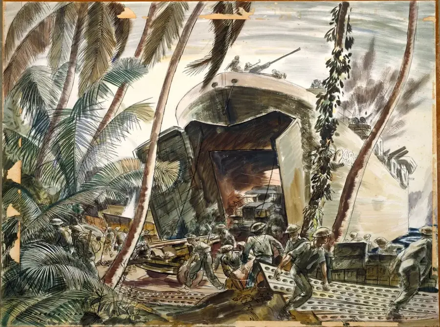
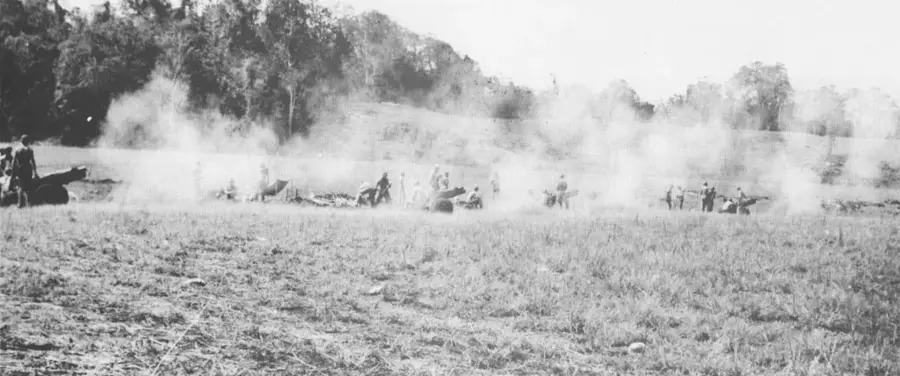
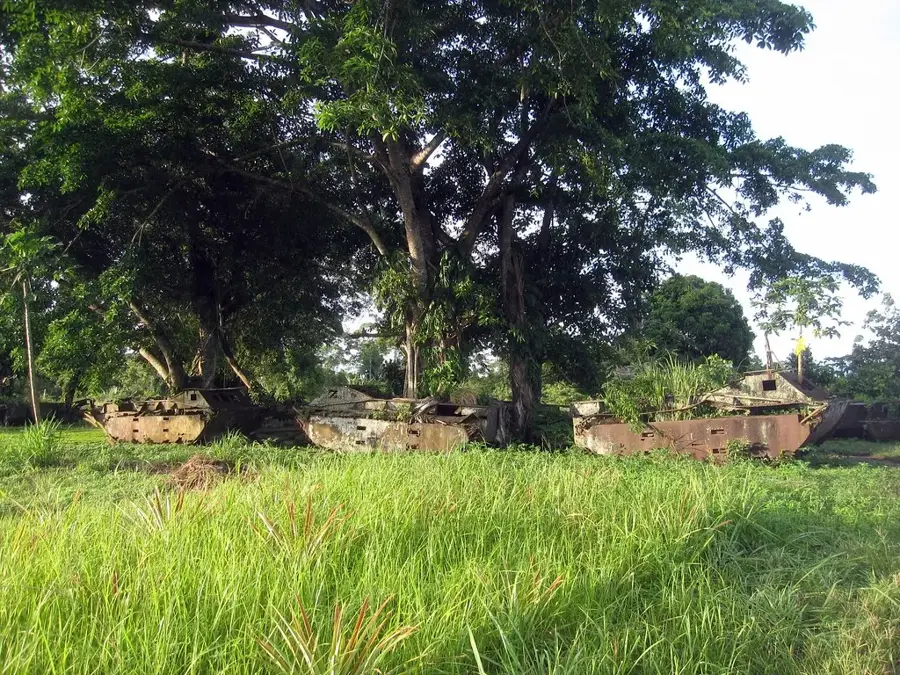
Blue Beach was one of the primary landing sectors on Tulagi Island during the Allied invasion on August 7, 1942. Located on the southwestern side of the island, the beach features a narrow shoreline bordered by steep limestone cliffs and dense rainforest. For the men of the 1st Marine Raider Battalion, landing at Blue Beach was a hazardous operation, as Japanese defenders held elevated positions and caves overlooking the water. Despite receiving heavy machine-gun fire, the Marines successfully established a beachhead, which allowed them to advance and capture Tulagi's government buildings. Historically, Blue Beach represents a pivotal point in the first major Allied counter-offensive in the Pacific. Today, the beach is a peaceful area used by the local community for fishing and recreation, but memorials and remnants of Japanese bunkers in the cliffs serve as lasting reminders of its strategic importance during the war.
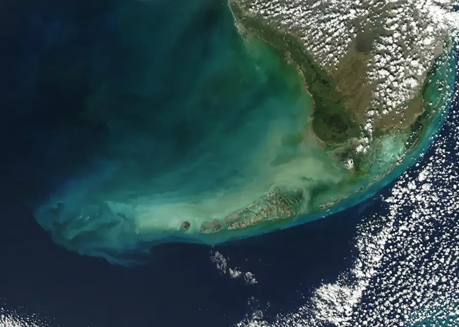
- Location: Solomon Islands
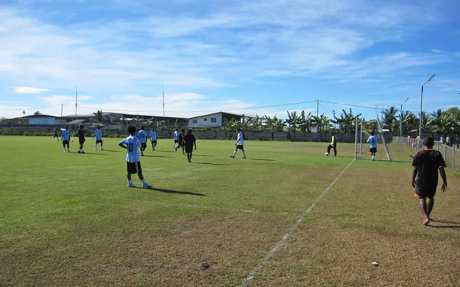
- Top sights: HMNZS Moa (T233) · Tulagi · Diocese of Central Solomons
- Nearby: Koli Point (32 km)
Best time to visit & climate
The most pleasant time to visit is Jun, Aug, Sep.
| Jan | Feb | Mar | Apr | May | Jun | Jul | Aug | Sep | Oct | Nov | Dec | |
|---|---|---|---|---|---|---|---|---|---|---|---|---|
| Avg °C | 29 | 28 | 28 | 28 | 29 | 28 | 28 | 28 | 28 | 28 | 28 | 29 |
| Rain mm | 284 | 282 | 271 | 215 | 201 | 187 | 195 | 167 | 169 | 193 | 194 | 218 |
📋 Practical info
Geography
Facts
- The assault on Blue Beach began at 08:00 on August 7, 1942.
- It was the primary landing site for the 1st Marine Raider Battalion.
- The beach's name was part of a color-coded system for the invasion beaches.
- Japanese defenses in the cliffs above required several hours to neutralize.
- The narrow strip of sand allowed for only a limited number of landing craft at once.
- Memorial markers at the site commemorate the Allied forces who landed here.
Explore nearby
Notable places around
Route planner — Car & Motorhome
Where do you start? We build the route here, with stops and country notes along the way.
© OpenStreetMap contributors · OpenRouteService
Sights in the town Blue Beach (3)
Sights nearby
Frequently asked questions
Where did Blue Beach get its name?
Is the beach easy to find?
Can you camp there?
What is the infrastructure like at the beach?
Are photos allowed there?
Blue Beach: where is it located?
Blue Beach: what is there to see?
Blue Beach: when is the best time to visit?
Blue Beach: why is it worth visiting?

Nearby cities


History & landmarks

Nature
More places