Plizio Visual Lab
Blue Beach Marker

Weather…
Water temperature…
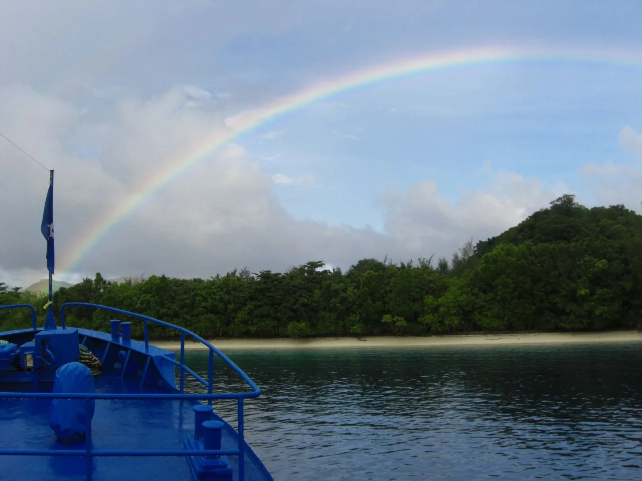
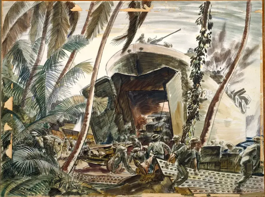
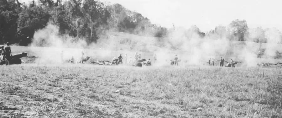
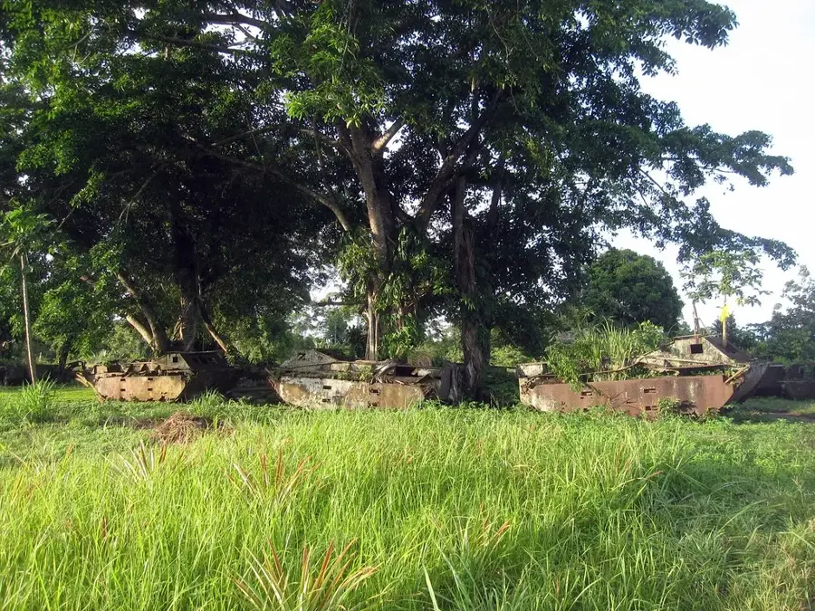
The Blue Beach Marker on Tulagi Island marks the historic site where U.S. Marines first landed on August 7, 1942, at the beginning of Operation Watchtower. While the landing on nearby Guadalcanal was unopposed, the assault on Tulagi's Blue Beach met with fierce resistance from the entrenched Japanese Special Naval Landing Force. Tulagi had served as the pre-war capital of the British Solomon Islands Protectorate and was of immense symbolic and strategic value. The Marines of the 1st Raider Battalion had to scale steep ridges and clear elaborate cave systems where Japanese defenders fought to the last man. The monument at Blue Beach honors the fallen and commemorates this first successful Allied amphibious offensive of the Pacific War. Today, the beach is a tranquil spot, yet the presence of the marker and nearby wartime tunnels serves as a permanent reminder of the violent struggle that took place on these shores. It remains a key site for historical tours, providing context for the wider battle for the Solomon Islands.
- Location: Solomon Islands
- Top sights: HMNZS Moa (T233) · Tulagi · Diocese of Central Solomons
- Nearby: Koli Point (32 km)
Best time to visit & climate
The most pleasant time to visit is Jun, Aug, Sep.
| Jan | Feb | Mar | Apr | May | Jun | Jul | Aug | Sep | Oct | Nov | Dec | |
|---|---|---|---|---|---|---|---|---|---|---|---|---|
| Avg °C | 29 | 28 | 28 | 28 | 29 | 28 | 28 | 28 | 28 | 28 | 28 | 29 |
| Rain mm | 284 | 282 | 271 | 215 | 201 | 187 | 195 | 167 | 169 | 193 | 194 | 218 |
📋 Practical info
Geography
Facts
- Landings at Blue Beach commenced at 8:00 AM on August 7, 1942.
- Tulagi was the administrative capital of the British Solomons before 1942.
- The 1st Marine Raider Battalion was led by the legendary Colonel Merritt Edson.
- Out of 350 Japanese defenders on Tulagi, only three were taken prisoner.
- Blue Beach was one of the first locations in the world to experience a modern amphibious assault.
- The marker is located on the western side of the island, facing the Ironbottom Sound.
Explore nearby
Notable places around
Route planner — Car & Motorhome
Where do you start? We build the route here, with stops and country notes along the way.
© OpenStreetMap contributors · OpenRouteService
Sights in the town Blue Beach Marker (3)
Sights nearby
Frequently asked questions
What does the monument commemorate?
Where is it?
How long does it take?
Is it family-friendly?
When to visit?
Blue Beach Marker: where is it located?
Blue Beach Marker: what is there to see?
Blue Beach Marker: when is the best time to visit?
Blue Beach Marker: why is it worth visiting?

Nearby cities


History & landmarks

Nature
More places