Plizio Visual Lab
Avu Avu

ℹ️Practical info — Avu Avu
▾
🌤 Weather — 5 days
📍 Nearby
Sights nearby
💡 Tips
- Access is primarily by small boat along the rugged Weather Coast; plan for weather-related delays.
- Mobile network coverage is non-existent, so inform someone of your travel plans beforehand.
- Bring your own basic medical supplies and water purification gear.
- Always ask permission from villagers before walking through their land or taking photographs.
🍽 Food
A staple dish often served by families in local homestays.
Usually offered grilled over an open fire by the coast.
A refreshing local drink typically offered to visiting guests.
🛍 Shopping · 🧘 Quiet spots
Buy directly from village gardens to support the isolated community.
Ask around the village for artisans who might have pieces for sale.
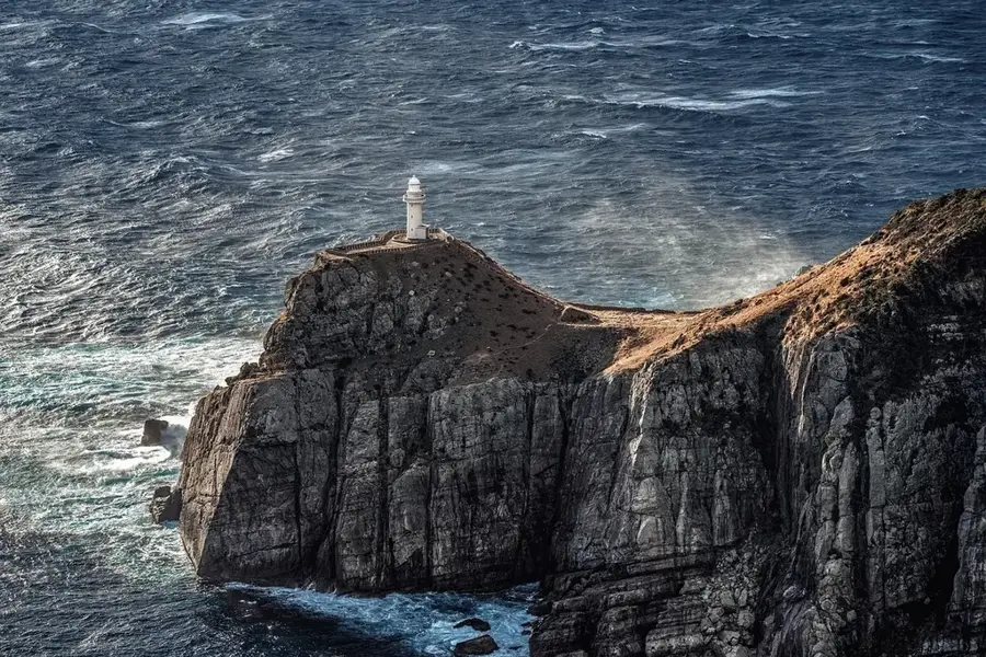
Walk along the dramatic, volcanic shores facing the open ocean.
Find a peaceful spot where the freshwater river meets the Solomon Sea.
Water temperature…
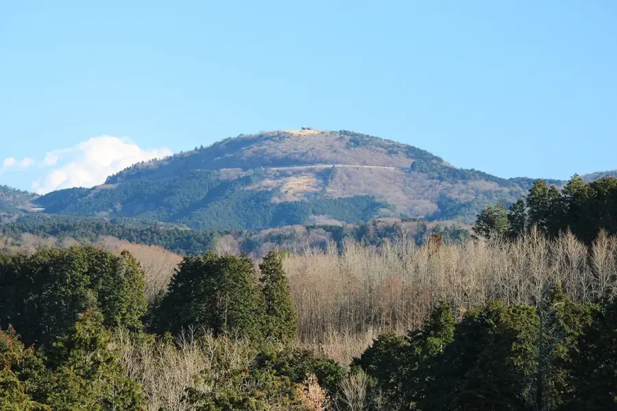
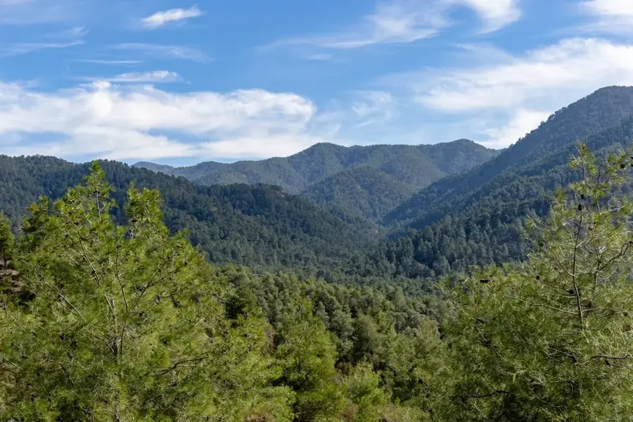
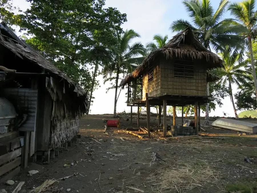
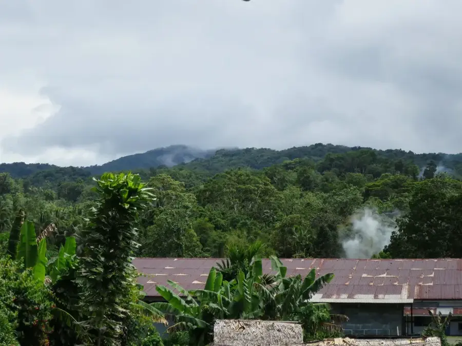
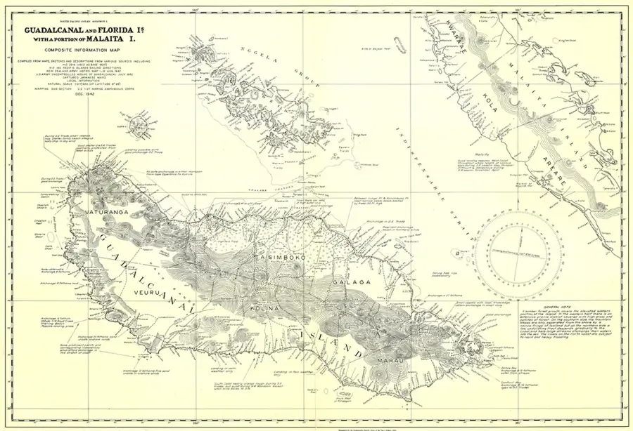
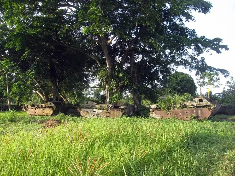
Avu Avu is situated on the renowned 'Weather Coast' in the southern part of Guadalcanal Island in the Solomon Islands. This region is famous for its extremely wet climate and rugged mountain ranges that drop steeply into the Pacific Ocean, making overland access nearly impossible. Avu Avu serves as an administrative and infrastructural hub for this isolated coastal stretch, hosting one of the few airfields in the area. The residents primarily engage in subsistence farming and fishing, with the export of copra and cocoa providing a modest cash income. Historically, the Weather Coast remained isolated from external influences for long periods due to its geographic barriers, which helped preserve unique cultural traditions. In recent decades, the region was a focal point of social tensions, but it has since transitioned into a peaceful center for community development. The raw beauty of the coastline, characterized by black sand beaches and mist-covered mountains, renders Avu Avu one of the most remote and intriguing locations in the archipelago.
- Location: Solomon Islands
- Nearby: Aola (30 km)
Best time to visit & climate
The most pleasant time to visit is Jul–Sep.
| Jan | Feb | Mar | Apr | May | Jun | Jul | Aug | Sep | Oct | Nov | Dec | |
|---|---|---|---|---|---|---|---|---|---|---|---|---|
| Avg °C | 28 | 28 | 28 | 28 | 28 | 28 | 27 | 27 | 28 | 28 | 28 | 28 |
| Rain mm | 273 | 296 | 273 | 229 | 204 | 170 | 176 | 144 | 140 | 191 | 176 | 226 |
Geography
Facts
- Avu Avu features a grass airstrip, providing a vital link for domestic flights from Honiara.
- The annual rainfall on the Weather Coast is among the highest recorded globally.
- The region is distinguished by its dramatic black volcanic sand beaches.
- Avu Avu was a central location during the ethnic tensions involving Harold Keke in the early 2000s.
- Supply delivery by sea is often hazardous due to the lack of natural harbors and heavy surf.
- The local Catholic mission serves as a key provider of health and education services.
Explore nearby
Notable places around
Route planner — Car & Motorhome
Where do you start? We build the route here, with stops and country notes along the way.
© OpenStreetMap contributors · OpenRouteService
Frequently asked questions
What makes Avu Avu special?
Is the place easily accessible?
What is the best equipment to visit?
What should I consider when planning?
Are there tourist attractions there?
Avu Avu: where is it located?
Avu Avu: when is the best time to visit?
Avu Avu: why is it worth visiting?

Nearby cities


History & landmarks

Nature
More places