Plizio Visual Lab
Pokljuka
Weather…
Water temperature…
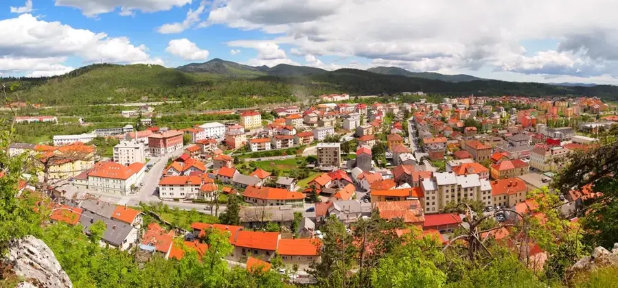
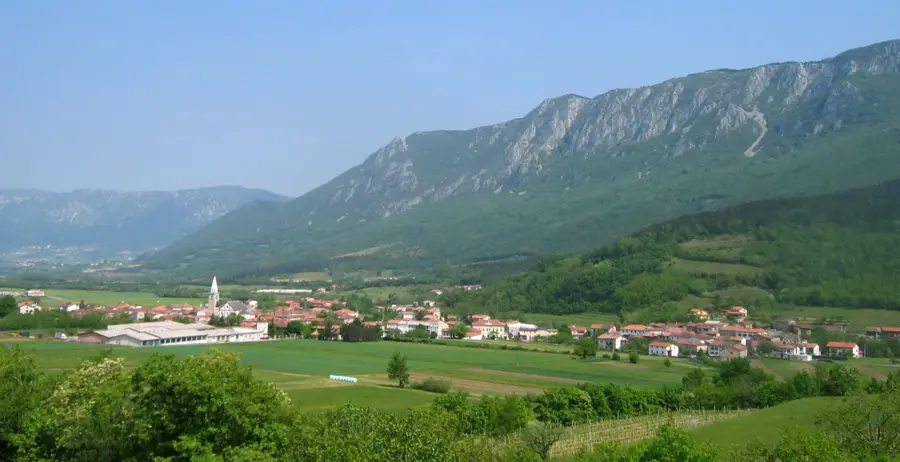
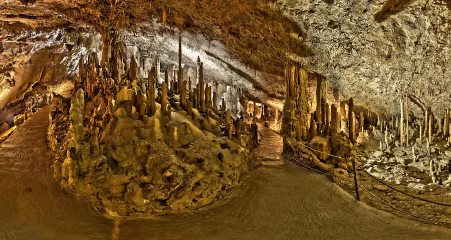
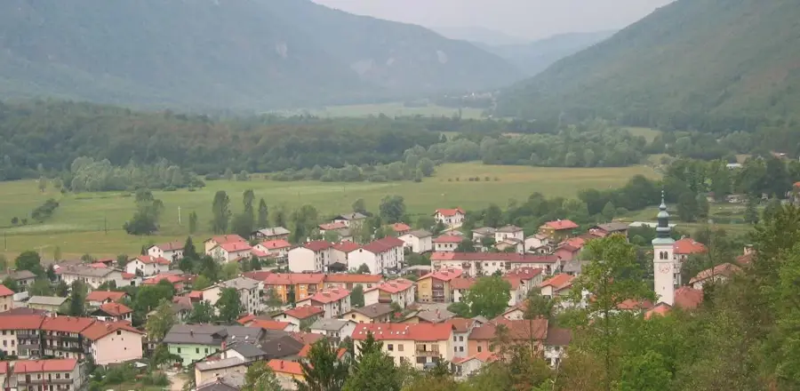
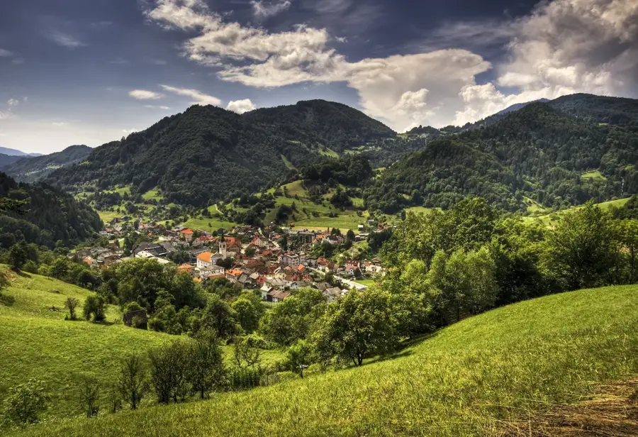
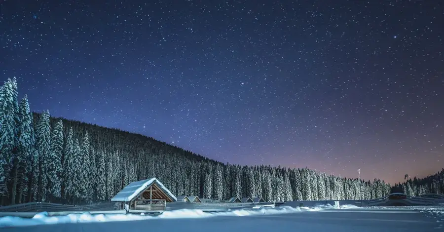
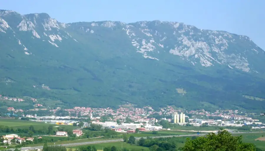
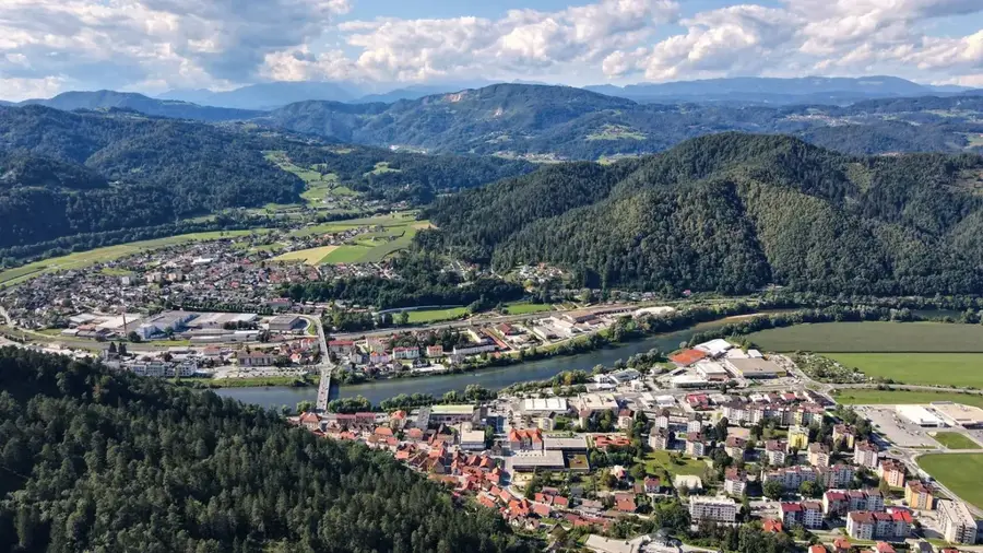
Pokljuka is an extensive forested karst plateau in the Julian Alps of northwestern Slovenia, situated at altitudes ranging from 1100 to 1500 meters. The plateau is a part of the Triglav National Park and is distinguished by its vast spruce forests and ecologically significant peat bogs. Geologically, the area is characterized by typical karst features such as sinkholes and caves, while its glacial history is evident in the form of moraines. Pokljuka is internationally recognized as a major center for biathlon, with the Rudno polje sports center regularly hosting World Cup events. Beyond sports, the plateau is a traditional grazing area for cattle, as seen in its preserved alpine dairy huts. It also serves as a popular starting point for mountain hikes to Mount Triglav and other surrounding peaks. The pristine mountain air and tranquility make it a vital recreational area for nature and sports enthusiasts.
- Location: Slovenia
- Top sights: Ambulanta E preko 4G · Quiet zone: Na Mlakah · Viševnik
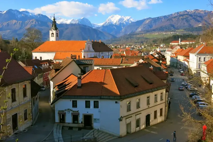
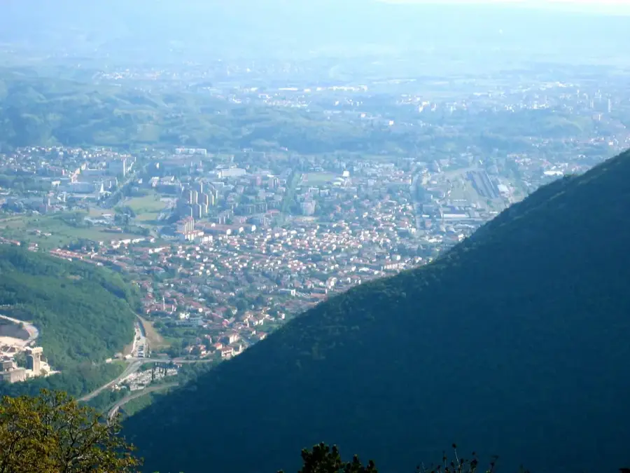
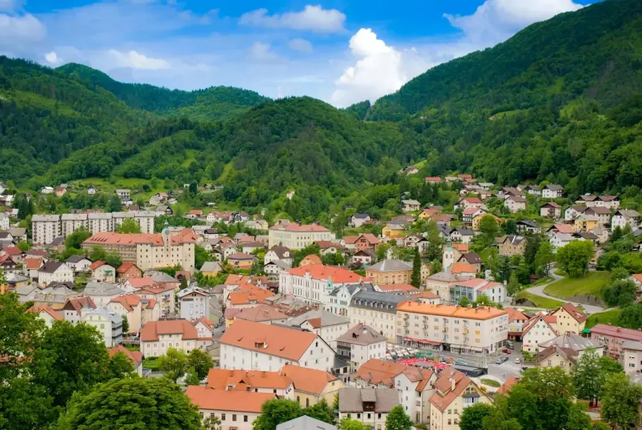
- Nearby: Lake Bohinj (7 km)
Best time to visit & climate
The most pleasant time to visit is Jun–Aug.
| Jan | Feb | Mar | Apr | May | Jun | Jul | Aug | Sep | Oct | Nov | Dec | |
|---|---|---|---|---|---|---|---|---|---|---|---|---|
| Avg °C | -4 | -3 | 2 | 6 | 11 | 15 | 17 | 17 | 12 | 8 | 3 | -2 |
| Rain mm | 58 | 66 | 74 | 83 | 110 | 120 | 125 | 140 | 130 | 118 | 119 | 85 |
📋 Practical info
Geography
Facts
- The plateau covers an area of approximately 100 square kilometers.
- Rudno polje is the most famous sports and cross-country skiing center here.
- The peat bogs of Pokljuka (e.g., Goreljek) are strictly protected natural monuments.
- High-quality resonance wood for instruments is harvested from these spruce forests.
- The plateau is one of the snowiest inhabited regions in Slovenia.
- The Zajamniki alpine pasture is famous for its 'street' of shepherd huts.
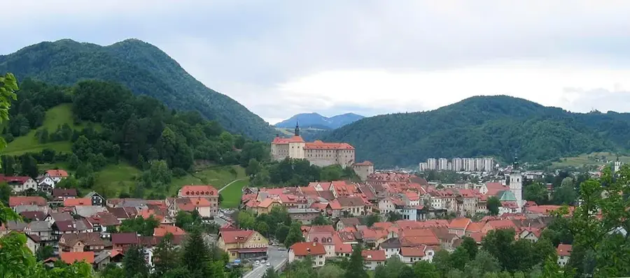
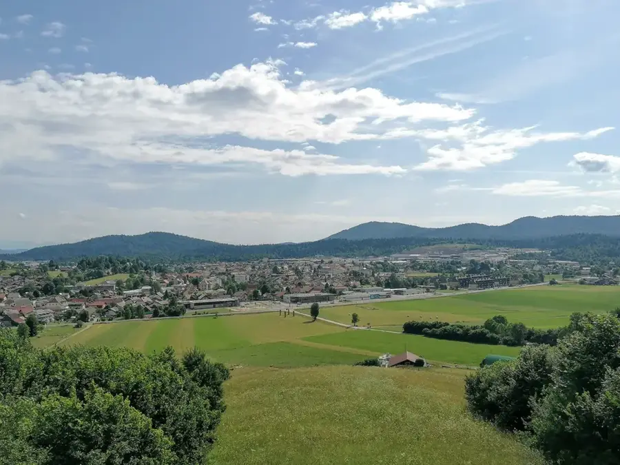
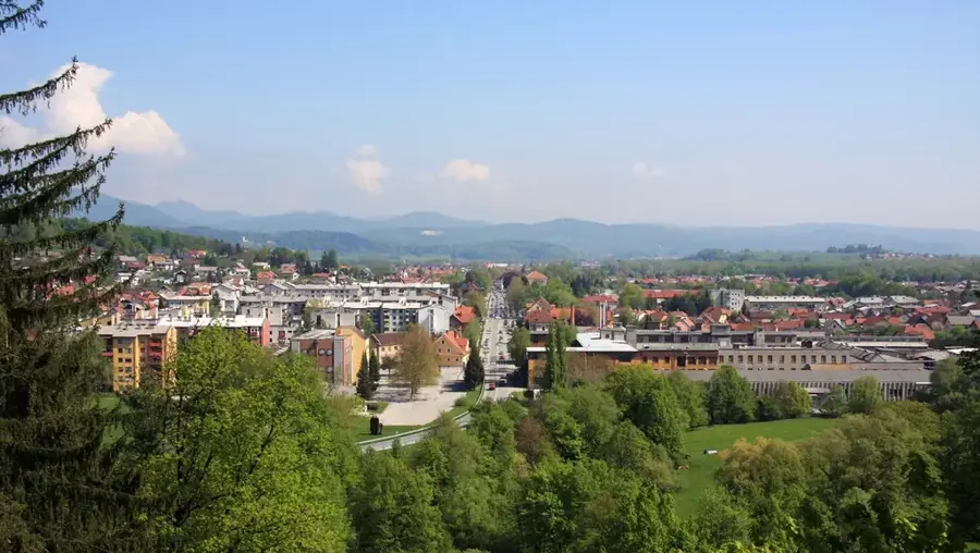
Explore nearby
Notable places around
Route planner — Car & Motorhome
Where do you start? We build the route here, with stops and country notes along the way.
© OpenStreetMap contributors · OpenRouteService
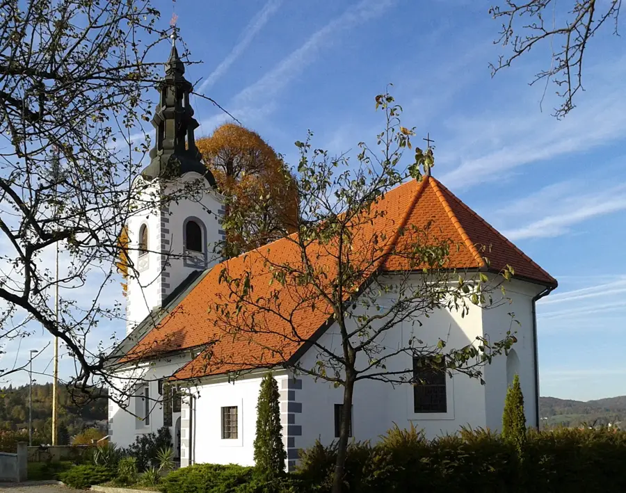
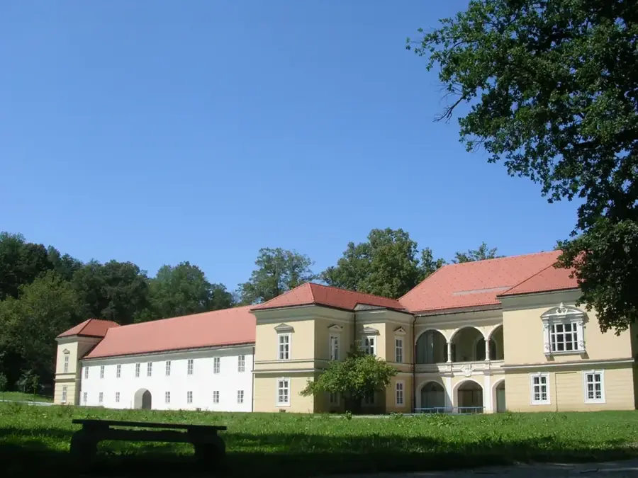
Sights in the town Pokljuka (6)
Sights nearby
Frequently asked questions
What is the best season to visit Pokljuka?
How high is the plateau?
Can you climb Mt. Triglav from here?
Is there a sports center there?
Are the forests known for bears?
Pokljuka: where is it located?
Pokljuka: what is there to see?
Pokljuka: when is the best time to visit?
Pokljuka: why is it worth visiting?

Nearby cities

History & landmarks