Plizio Visual Lab
Grintovec
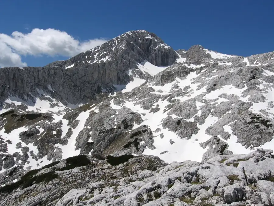
Grintovec is the highest peak of the Kamnik, Savinja Alps in Slovenia, reaching an elevation of 2558 meters. The mountain is primarily composed of Triassic Dachstein limestone, which gives the massif its distinctive light-grey, rugged appearance. As a central landmark in the Upper Carniola region, the summit gives an expansive panoramic view that can extend to the Grossglockner in Austria and the Adriatic Sea on clear days. Hikers typically approach the summit from the Kamniška Bistrica Valley via the Zois Lodge at the Kokra Saddle, located at 1793 meters. While the climb is not technically demanding, the elevation gain of over 1900 meters from the valley floor requires significant physical stamina. The area is ecologically significant for its alpine flora and serves as a habitat for Alpine ibex and chamois.
- Location: Slovenia
- Nearby: Logarska Valley (9 km)
Best time to visit & climate
The most pleasant time to visit is Jun–Aug.
| Jan | Feb | Mar | Apr | May | Jun | Jul | Aug | Sep | Oct | Nov | Dec | |
|---|---|---|---|---|---|---|---|---|---|---|---|---|
| Avg °C | -3 | -2 | 2 | 7 | 12 | 16 | 19 | 18 | 13 | 8 | 3 | -2 |
| Rain mm | 45 | 57 | 61 | 71 | 100 | 110 | 114 | 125 | 124 | 94 | 91 | 67 |
📋 Practical info
Geography
Facts
- The official elevation of the summit is 2558 meters above sea level.
- Grintovec is the highest point of the Kamnik–Savinja Alps massif.
- The Zois Lodge at the Kokra Saddle was established in 1897.
- Geologically, the mountain belongs to the Southern Limestone Alps.
- The elevation gain from the Kamniška Bistrica hut is 1957 meters.
- The summit provides a visual range of over 100 kilometers in clear weather.
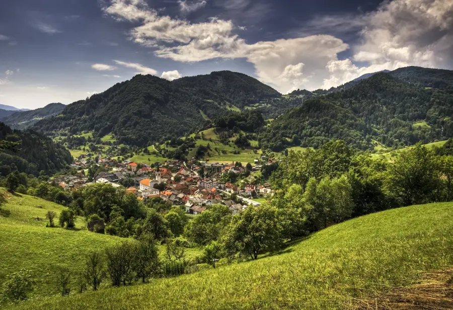
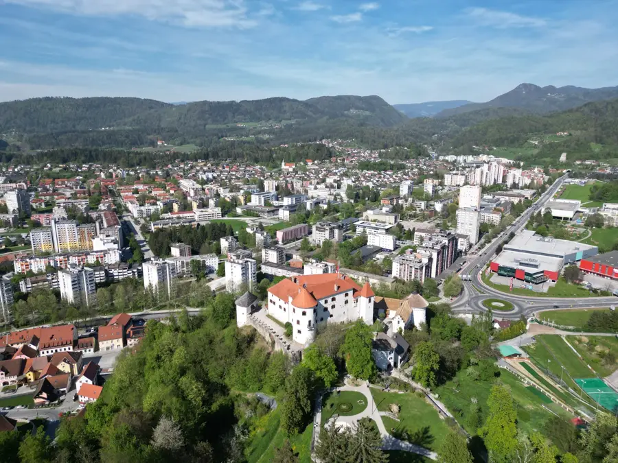
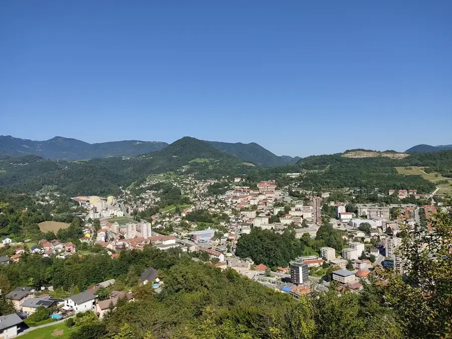
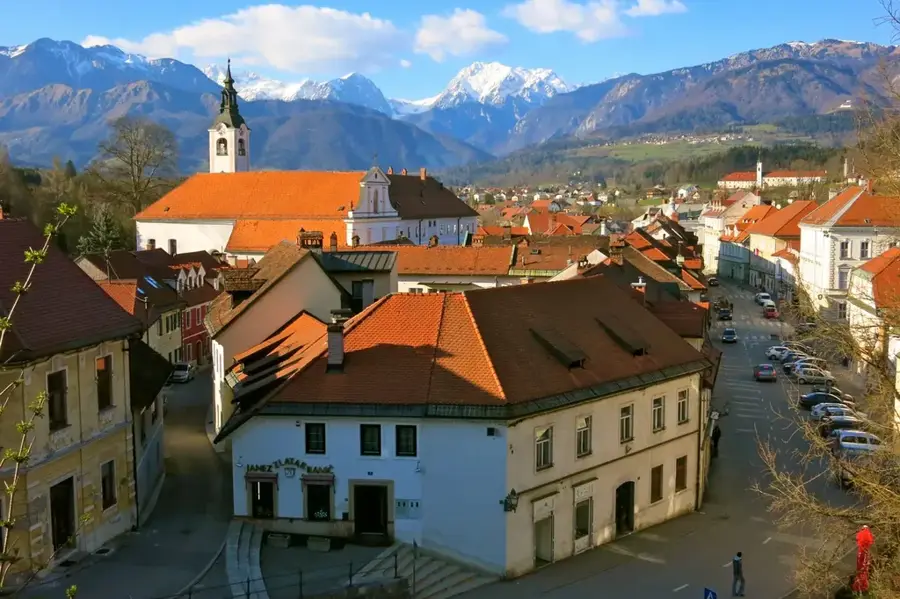
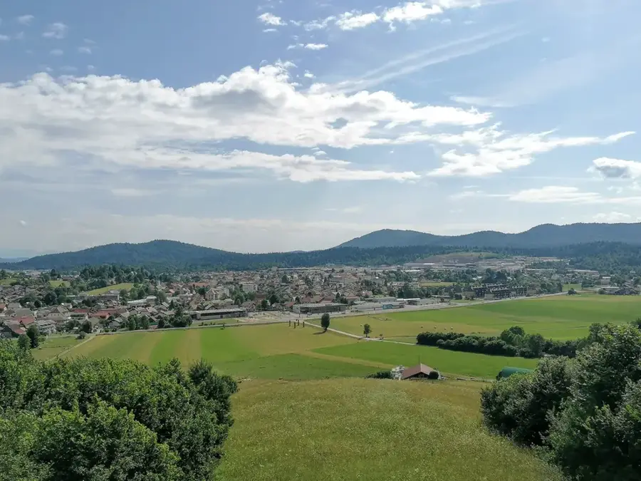
Explore nearby
Notable places around
Route planner — Car & Motorhome
Where do you start? We build the route here, with stops and country notes along the way.
© OpenStreetMap contributors · OpenRouteService
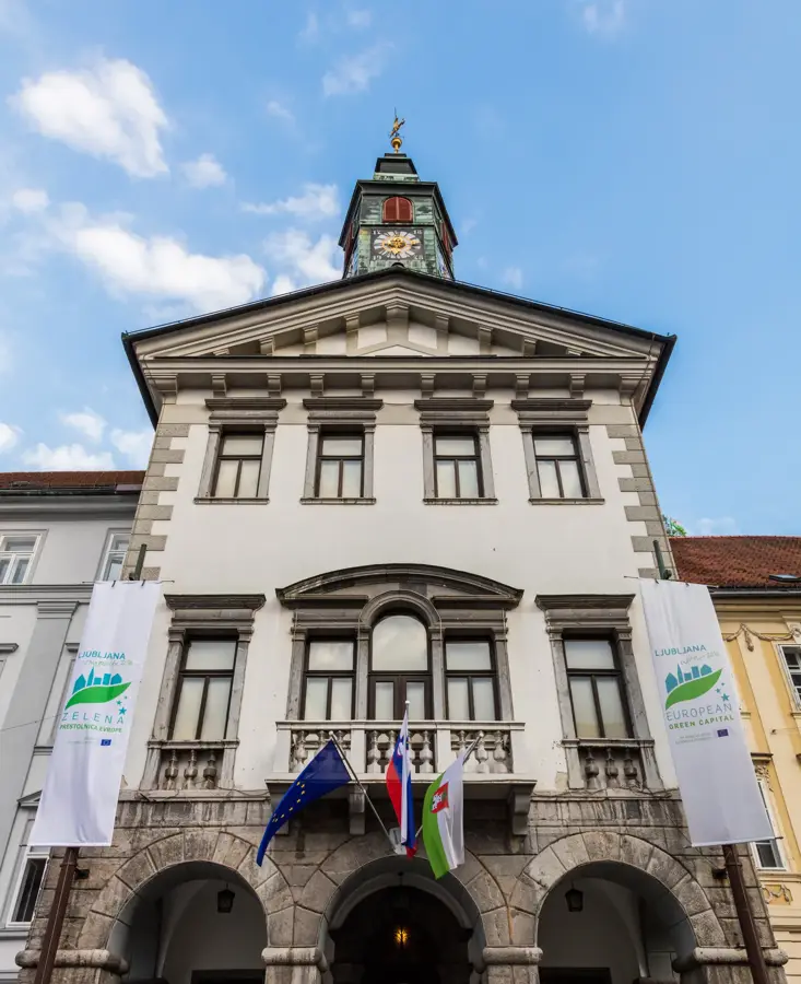
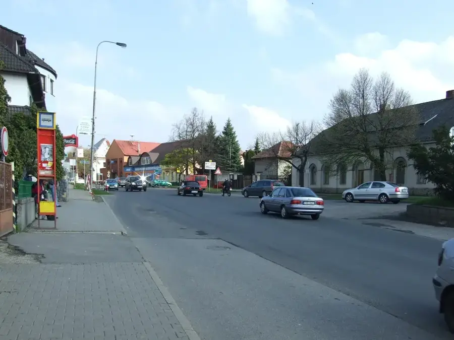
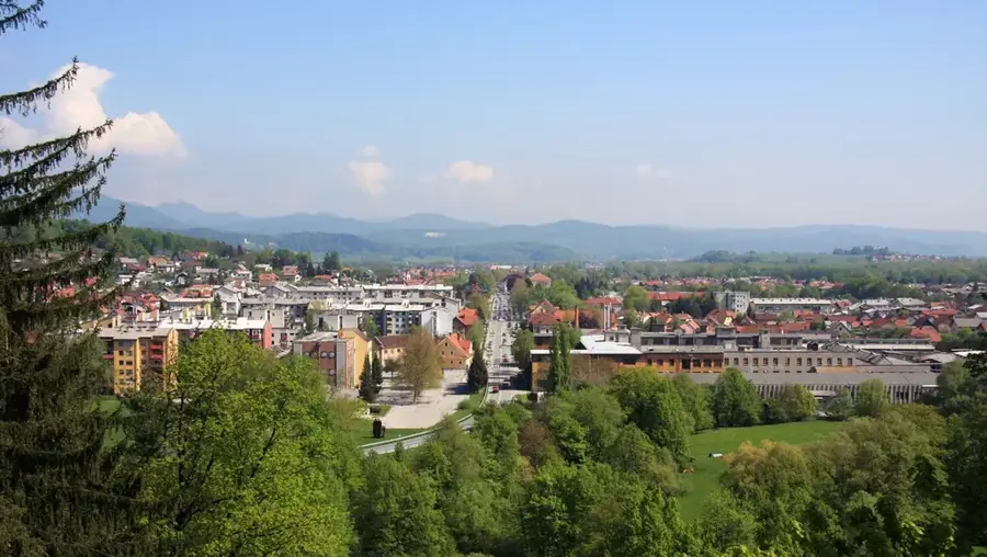
Sights in the town Grintovec (1)
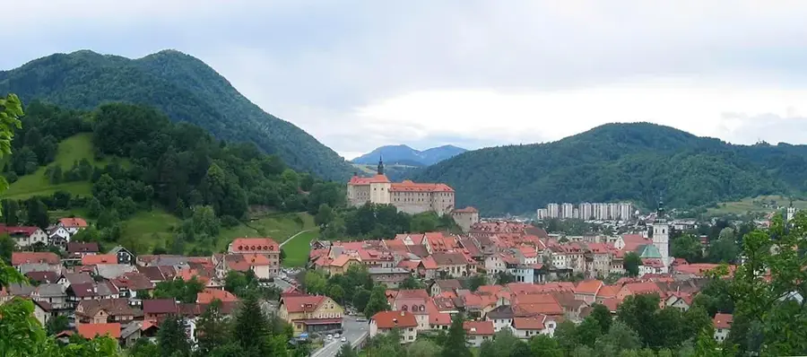
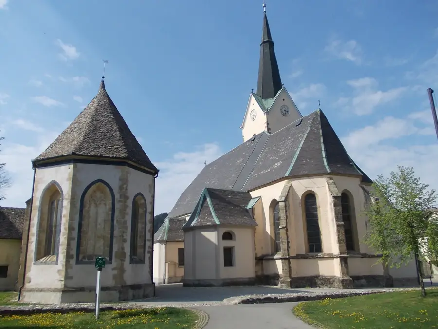
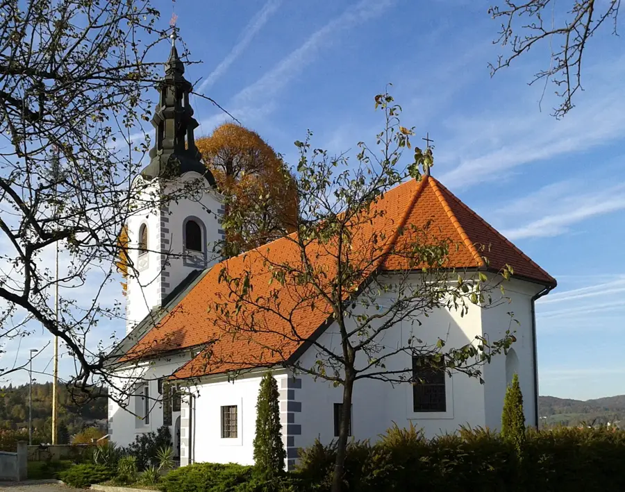
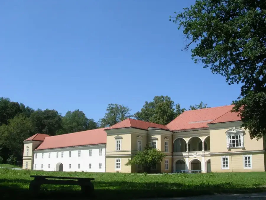
Sights nearby
Frequently asked questions
Is it the highest of the Kamnik Alps?
Do you need climbing gear?
Where is the starting point?
Is there a hut on the way?
How long is the ascent?
Grintovec: where is it located?
Grintovec: when is the best time to visit?
Grintovec: why is it worth visiting?

Nearby cities

History & landmarks