Plizio Visual Lab
Vtáčnik
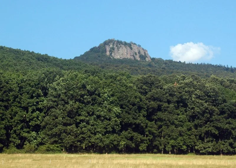
Vtáčnik, rising to 1346 meters, is the highest peak of its eponymous range and the tallest point within the Slovak Central Mountains. This volcanic range was formed during the Neogene period through significant magmatic activity, leaving behind impressive andesite rock faces and sprawling blockfields. The summit area is shrouded in dense, primeval beech forests, which have been protected as a State Nature Reserve since 1950. From the metal cross at the summit, hikers are rewarded with expansive views over the Upper Nitra Basin and the neighboring Fatra ranges. The mountain is a popular destination for trekking and rock climbing, with the andesite pillars of Hrádok being particularly famous among climbers. Despite its rugged and wild appearance, Vtáčnik is accessible via a well-marked network of trails that showcase the diverse volcanic landscape and its rich Carpathian biodiversity.
- Location: Slovakia
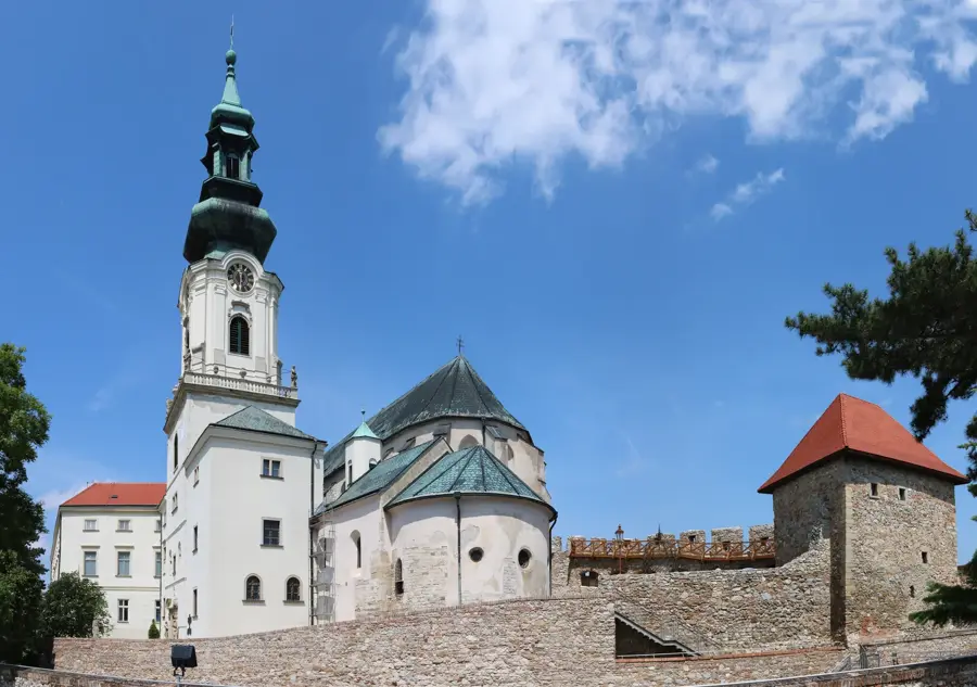
- Top sights: Vtáčnik · Čierne blato · Kláštorská skala
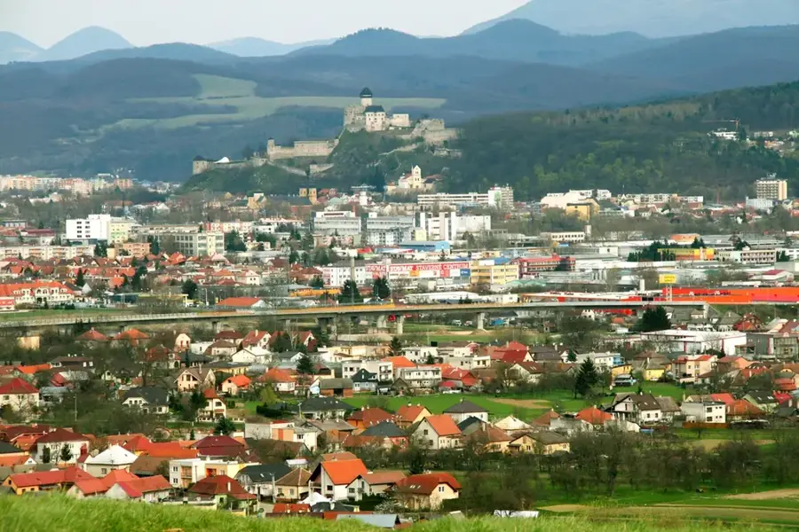
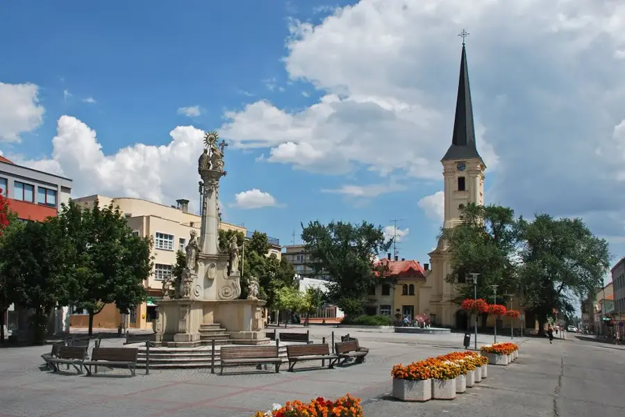
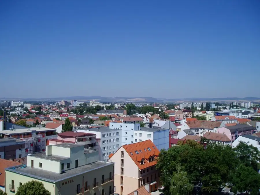
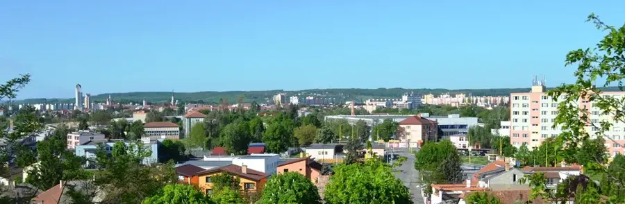
- Nearby: Žiar nad Hronom (15 km)
Best time to visit & climate
The most pleasant time to visit is Jun–Aug.
| Jan | Feb | Mar | Apr | May | Jun | Jul | Aug | Sep | Oct | Nov | Dec | |
|---|---|---|---|---|---|---|---|---|---|---|---|---|
| Avg °C | -4 | -2 | 3 | 9 | 14 | 18 | 20 | 19 | 14 | 9 | 3 | -2 |
| Rain mm | 52 | 46 | 47 | 40 | 72 | 74 | 78 | 66 | 61 | 56 | 53 | 52 |
📋 Practical info
Geography
Facts
- Vtáčnik stands at an altitude of 1346 meters above sea level.
- The range is composed of volcanic rocks, primarily andesite.
- The National Nature Reserve was established in 1950.
- It is the highest mountain range in the Slovak Central Mountains.
- The Hrádok rock formation is a major center for Slovak rock climbing.
- The summit is marked by a prominent metal cross.
Explore nearby
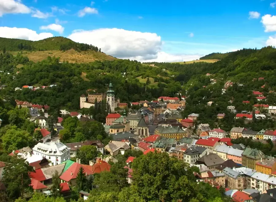
Notable places around
Route planner — Car & Motorhome
Where do you start? We build the route here, with stops and country notes along the way.
© OpenStreetMap contributors · OpenRouteService
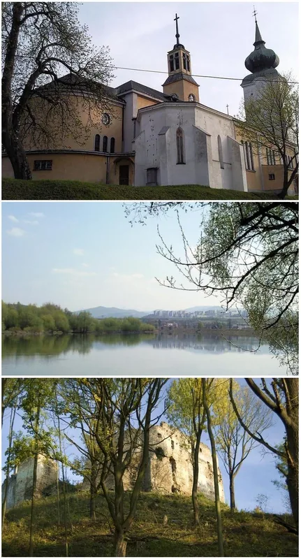
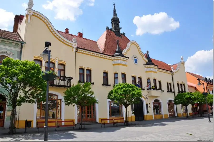
Sights in the town Vtáčnik (3)
Sights nearby
Frequently asked questions
What is the origin of the Vtáčnik Mountains?
How high is the main peak Vtáčnik?
Are there protected natural areas there?
Is the mountain range suitable for climbers?
Are there places to eat on the hiking trails?
Vtáčnik: where is it located?
Vtáčnik: what is there to see?
Vtáčnik: when is the best time to visit?
Vtáčnik: why is it worth visiting?

Nearby cities