Plizio Visual Lab
Poľana Protected Landscape Area
Weather…
Water temperature…
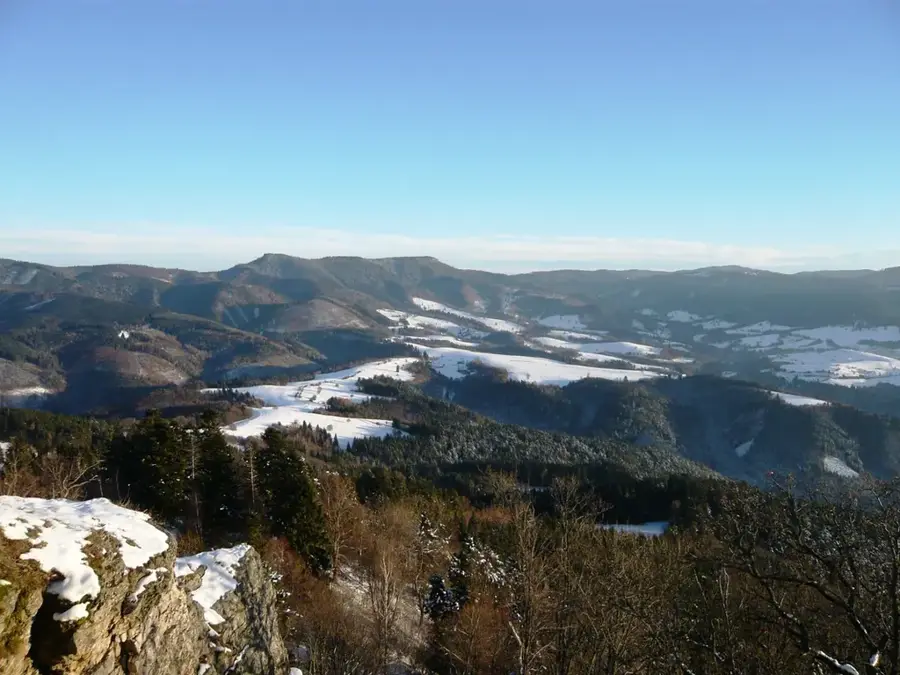
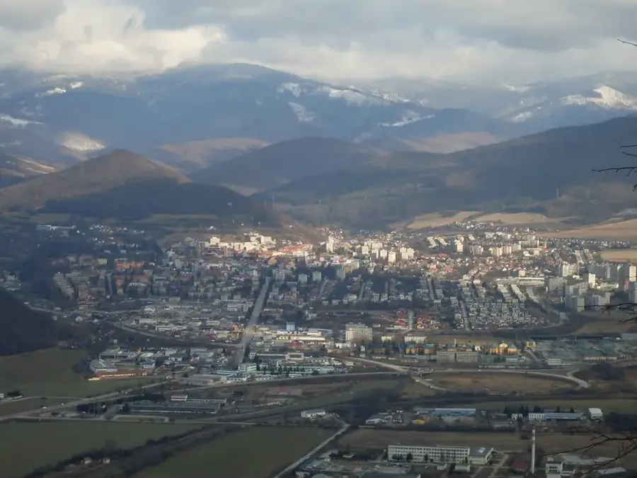
The Poľana Protected Landscape Area, recognized as a UNESCO Biosphere Reserve since 1990, represents the highest and best-preserved stratovolcano in Slovakia. With its main peak, Poľana, reaching an elevation of 1458 meters, this massive extinct volcanic structure dominates the landscape of central Slovakia. The most impressive geological remnant is the caldera in the center of the mountain range, which has a diameter of about six kilometers and whose walls drop steeply into deep, forested valleys. The region is more than 80 percent covered by dense, difficult-to-access primeval forests of beech, fir, and spruce, preserving an extraordinarily high biodiversity. Poľana is nationally renowned for its excellent wildlife populations; it is considered one of the most important refuges for the brown bear, wolves, and Eurasian lynx. Furthermore, the area is famous for its exceptionally strong and trophy-sized red deer, making it a significant center for wildlife biology and sustainable wildlife management.
- Location: Slovakia
- Top sights: Poľana · Zbojnícky tanec · Predná Poľana
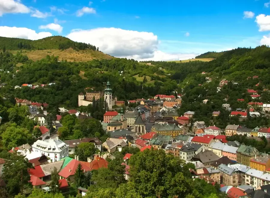
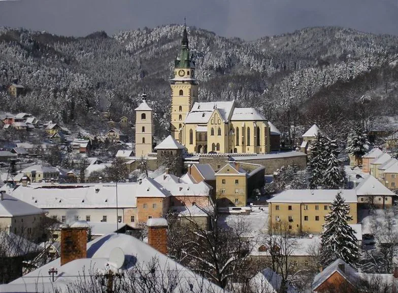
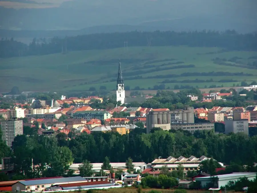
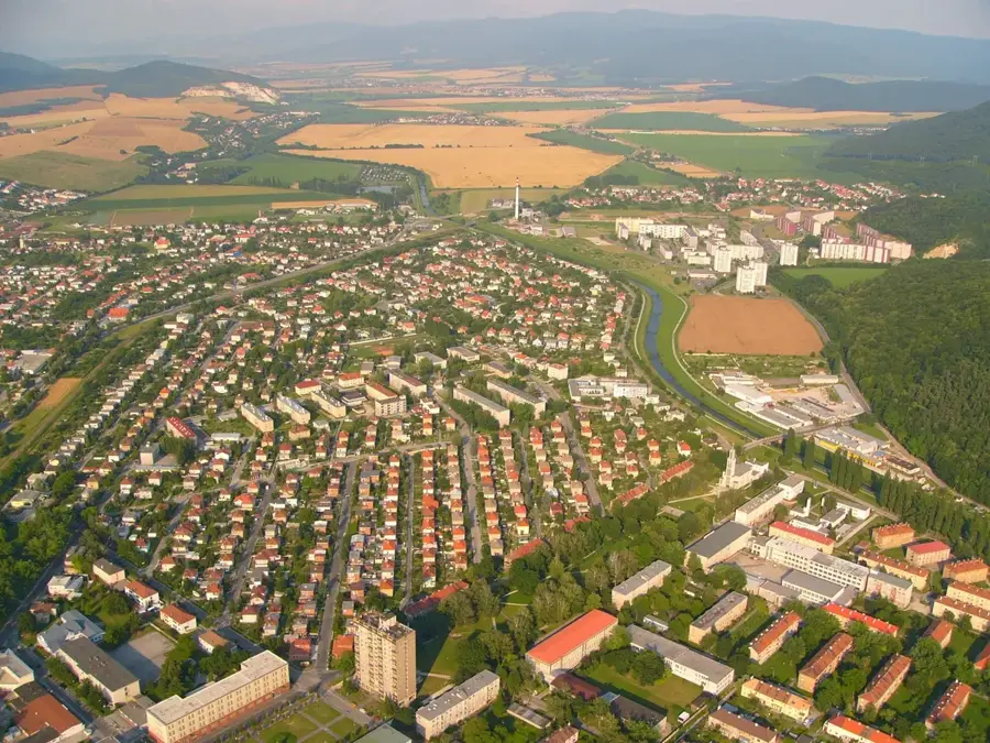
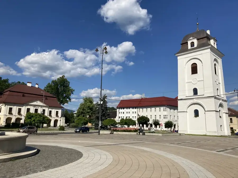
- Nearby: Detva (10 km)
Best time to visit & climate
The most pleasant time to visit is Jun–Aug.
| Jan | Feb | Mar | Apr | May | Jun | Jul | Aug | Sep | Oct | Nov | Dec | |
|---|---|---|---|---|---|---|---|---|---|---|---|---|
| Avg °C | -4 | -3 | 2 | 8 | 13 | 17 | 19 | 19 | 14 | 8 | 3 | -3 |
| Rain mm | 54 | 51 | 52 | 48 | 83 | 87 | 91 | 75 | 64 | 62 | 59 | 55 |
📋 Practical info
Geography
Explore nearby
Notable places around
Route planner — Car & Motorhome
Where do you start? We build the route here, with stops and country notes along the way.
© OpenStreetMap contributors · OpenRouteService
Sights in the town Poľana Protected Landscape Area (8)
Katruška
Katruška is a viewpoint within the Poľana protected area, overlooking the terrain.
Strunga
Strunga is a viewpoint in the Poľana area, providing a wide panorama.
Šafraníčka
Šafraníčka is a peak in the Poľana mountains, covered by dense forest.
Vodopád Bystré
Vodopád Bystré is a waterfall in the Poľana protected area, a natural attraction.
Mačinovský vodopád / ľadopád
Mačinovský vodopád / ľadopád is a waterfall or icefall in the Poľana region.
Sights nearby
Frequently asked questions
What is Poľana?
Are there waterfalls?
Is the area wild?
What is a caldera?
When is hunting season?
Poľana Protected Landscape Area: where is it located?
Poľana Protected Landscape Area: what is there to see?
Poľana Protected Landscape Area: when is the best time to visit?
Poľana Protected Landscape Area: why is it worth visiting?

Nearby cities


History & landmarks