Plizio Visual Lab
Molpír Hillfort
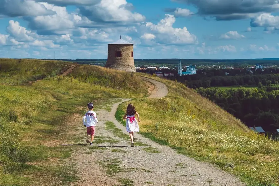
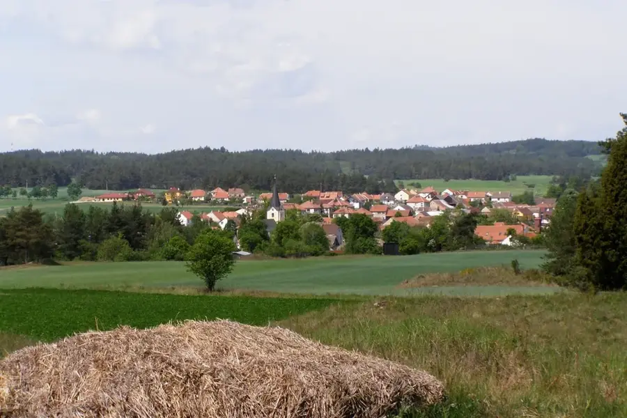
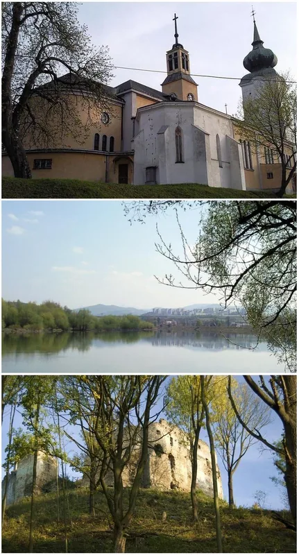
The prehistoric hillfort of Molpír, located on a hill above the village of Smolenice, is one of the most significant Early Iron Age archaeological sites in Central Europe. Spanning an area of 12 hectares, the fortification was established in the 6th century BC by the people of the Kalenderberg culture. Archaeological excavations have revealed a sophisticated settlement structure consisting of three fortified courtyards, residential terraces, and massive defensive ramparts. A particularly striking find was a sacrificial site that provided evidence of ritualistic practices. The settlement met a violent end in the late 6th century BC, as evidenced by extensive fire damage and hundreds of Scythian arrowheads discovered at the site. Today, the area serves as an archaeological open-air museum, with information boards leading visitors through the reconstructed sections and the dramatic history of this ancient power center.
- Location: Slovakia
- Top sights: Hradisko Molpír - národna kultúrna pamiatka · Smolenický zámok · Múzeum Molpír
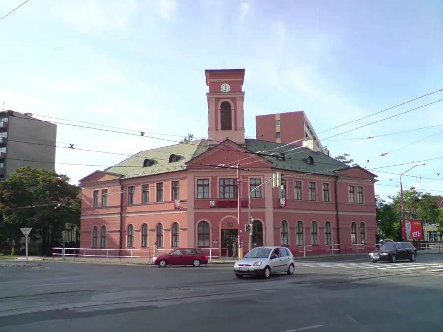
- Nearby: Senica (19 km)
Best time to visit & climate
The most pleasant time to visit is Jun–Aug.
| Jan | Feb | Mar | Apr | May | Jun | Jul | Aug | Sep | Oct | Nov | Dec | |
|---|---|---|---|---|---|---|---|---|---|---|---|---|
| Avg °C | -2 | 0 | 4 | 10 | 15 | 20 | 22 | 21 | 16 | 10 | 5 | -1 |
| Rain mm | 43 | 38 | 39 | 35 | 64 | 63 | 67 | 62 | 61 | 48 | 44 | 43 |
📋 Practical info
Geography
Facts
- Total area of the hillfort covers approximately 12 hectares
- Settlement peaked in the 6th century BC (Hallstatt period)
- Identification of three distinct fortified defensive courtyards
- Discovery of over 400 Scythian arrowheads confirming a military attack
- Evidence of a ritual sacrificial site for both humans and animals
- Partial reconstruction of defensive walls and residential buildings
Explore nearby
Notable places around
Route planner — Car & Motorhome
Where do you start? We build the route here, with stops and country notes along the way.
© OpenStreetMap contributors · OpenRouteService
Sights in the town Molpír Hillfort (6)
Múzeum Molpír🏛 museum
A local museum in Smolenice showcasing artifacts from the Molpír hillfort and regional history.
Sights nearby
Frequently asked questions
What is Molpír?
Are there visible ruins?
Is there an educational trail?
How difficult is the hike?
What was found during excavations?
Molpír Hillfort: where is it located?
Molpír Hillfort: what is there to see?
Molpír Hillfort: when is the best time to visit?
Molpír Hillfort: why is it worth visiting?

Nearby cities