Plizio Visual Lab
Malé Karpaty Protected Landscape Area
Weather…
Water temperature…
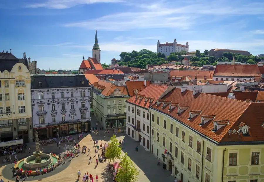
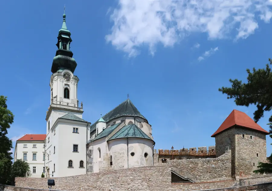
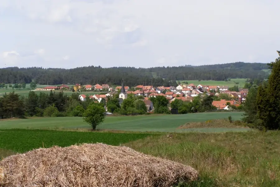
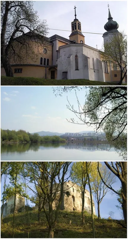
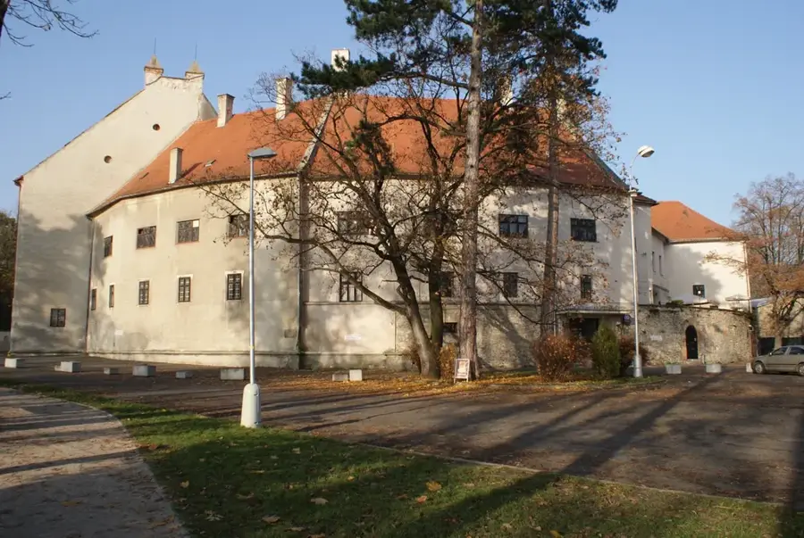
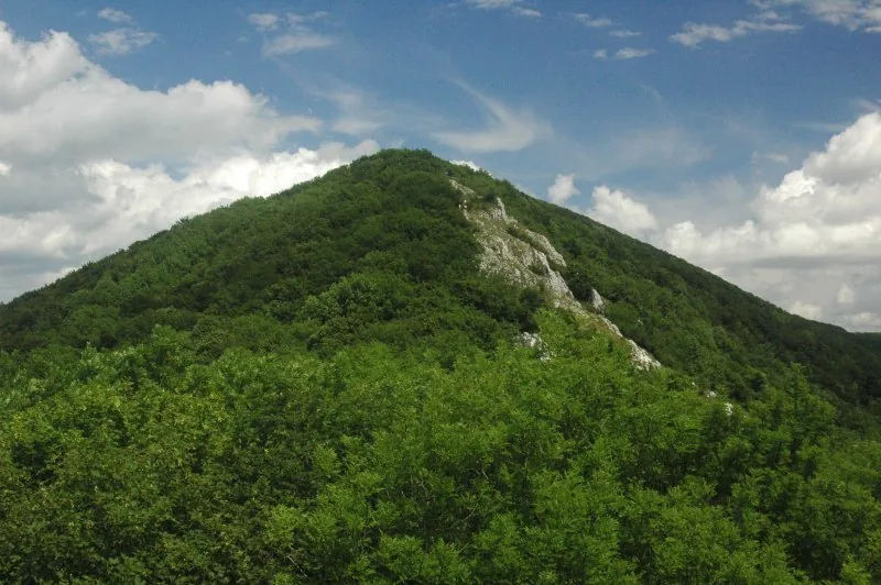
The Malé Karpaty (Small Carpathians) Protected Landscape Area, established in 1976, stretches as a prominent mountain range over 646 square kilometers from Bratislava in a northeasterly direction. The gentle slopes, covered by dense oak and hornbeam forests, merge seamlessly at lower elevations with centuries-old winemaking traditions that profoundly shape the cultural landscape. Geologically, the region is extremely versatile, concealing extensive karst systems within; the Driny Cave is the only publicly accessible stalactite cave in western Slovakia. Historically, the mountains served as a vital strategic border, which is why numerous ruins of fortified castles, such as Devín, Čachtice, and Pajštún, still crown its prominent rocky outcrops today. These ruins not only offer spectacular views but also serve as important habitats for rare bat species and birds of prey. Thanks to the well-developed network of hiking and cycling trails, the area is the most important recreational center for residents of the capital region.
- Location: Slovakia
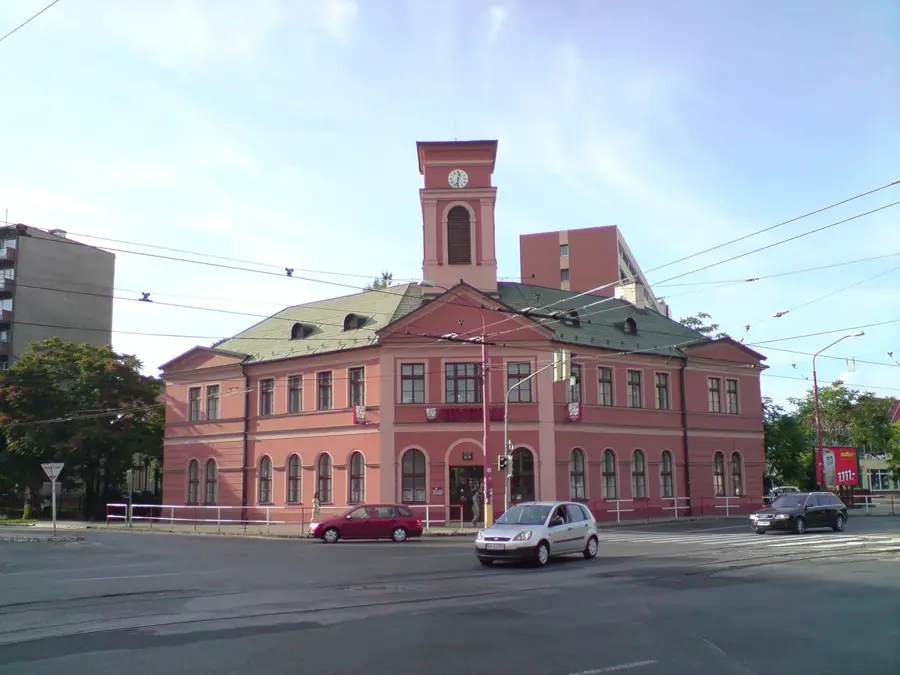
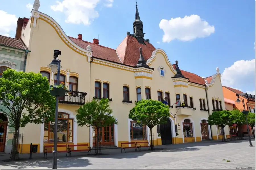
- Top sights: Klokoč · Báborská · Jaskyňa pri kríži
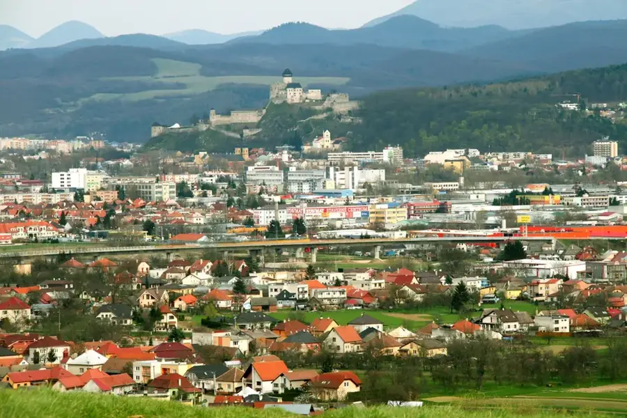
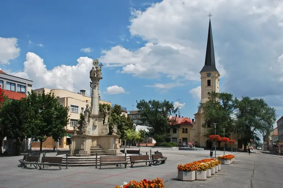
- Nearby: Modra (13 km)
Best time to visit & climate
The most pleasant time to visit is Jun–Aug.
| Jan | Feb | Mar | Apr | May | Jun | Jul | Aug | Sep | Oct | Nov | Dec | |
|---|---|---|---|---|---|---|---|---|---|---|---|---|
| Avg °C | -2 | 0 | 4 | 10 | 15 | 20 | 22 | 21 | 16 | 10 | 5 | -1 |
| Rain mm | 43 | 38 | 39 | 35 | 64 | 63 | 67 | 62 | 61 | 48 | 44 | 43 |
📋 Practical info
Geography
Explore nearby
Notable places around
Route planner — Car & Motorhome
Where do you start? We build the route here, with stops and country notes along the way.
© OpenStreetMap contributors · OpenRouteService
Sights in the town Malé Karpaty Protected Landscape Area (3)
Sights nearby
Frequently asked questions
What is the wine route?
Are there castles?
How close to Bratislava?
Can you visit caves there?
What is the highest peak?
Malé Karpaty Protected Landscape Area: where is it located?
Malé Karpaty Protected Landscape Area: what is there to see?
Malé Karpaty Protected Landscape Area: when is the best time to visit?
Malé Karpaty Protected Landscape Area: why is it worth visiting?

Nearby cities