Plizio Visual Lab
Malá Fatra National Park
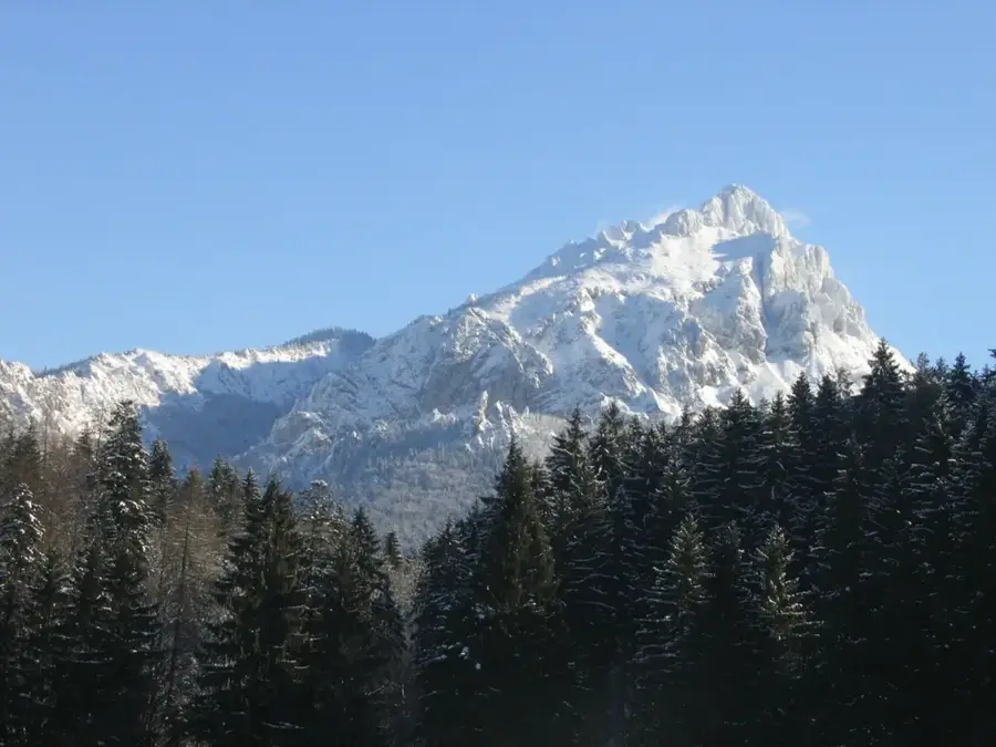
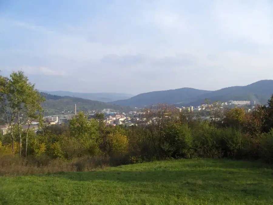
Declared in 1988, the Malá Fatra National Park protects an area of 226 square kilometers in the northwestern part of the Carpathians. The mountains are characterized by an asymmetrical structure, with the southern massif composed of crystalline rocks like granite, while the northern part is dominated by dolomites and limestone. This geological diversity results in pronounced relief energy, which manifests itself particularly in the Jánošík Gorges (Jánošíkove diery) with their numerous waterfalls and bizarre rock formations. The park is a vital refuge for alpine plant species; relicts of Ice Age flora thrive on the 1709-meter-high Veľký Kriváň and the prominent Veľký Rozsutec peak (1609 meters). Approximately 83 percent of the park's territory is forested, predominantly with mixed beech and fir forests, providing an intact environment for large mammals such as wolves and brown bears.
- Location: Slovakia
- Top sights: Chleb · Steny, Južný vrchol · Malý Kriváň
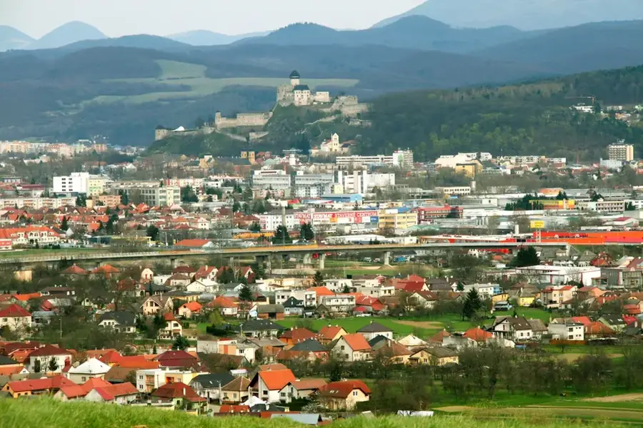
- Nearby: Vrátna Valley (4 km)
Best time to visit & climate
The most pleasant time to visit is Jun–Aug.
| Jan | Feb | Mar | Apr | May | Jun | Jul | Aug | Sep | Oct | Nov | Dec | |
|---|---|---|---|---|---|---|---|---|---|---|---|---|
| Avg °C | -5 | -3 | 1 | 7 | 12 | 16 | 18 | 18 | 13 | 7 | 3 | -3 |
| Rain mm | 61 | 53 | 56 | 49 | 88 | 94 | 101 | 79 | 75 | 65 | 59 | 58 |
📋 Practical info
Geography
Explore nearby
Notable places around
Route planner — Car & Motorhome
Where do you start? We build the route here, with stops and country notes along the way.
© OpenStreetMap contributors · OpenRouteService
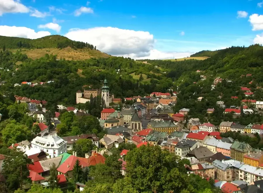
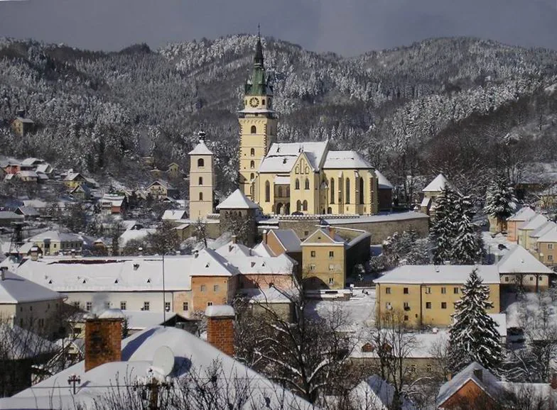
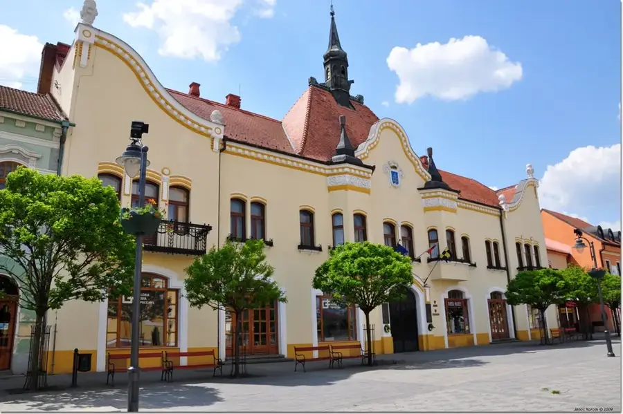
Sights in the town Malá Fatra National Park (3)
Sights nearby
Frequently asked questions
Where is the park center?
What are 'Jánošíkove diery'?
Who is the region's most famous hero?
Is there a cable car to the summit?
Are the trails accessible in winter?
Malá Fatra National Park: where is it located?
Malá Fatra National Park: what is there to see?
Malá Fatra National Park: when is the best time to visit?
Malá Fatra National Park: why is it worth visiting?

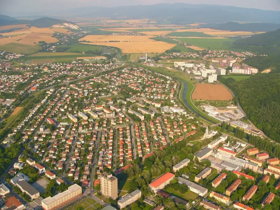
Nearby cities


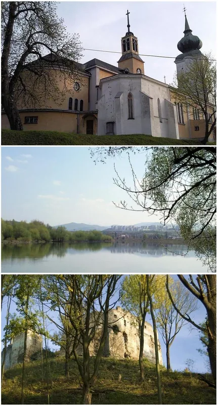


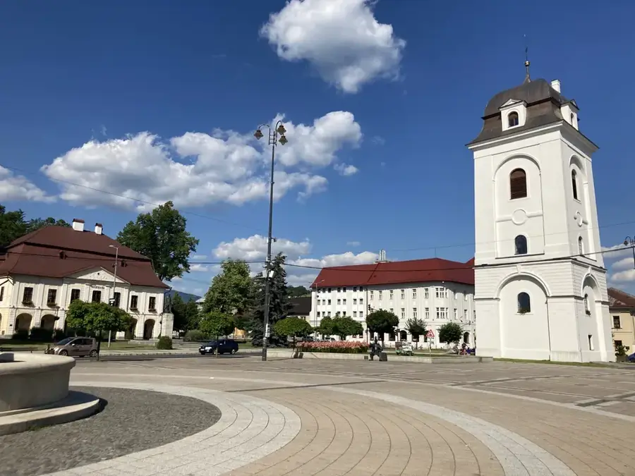
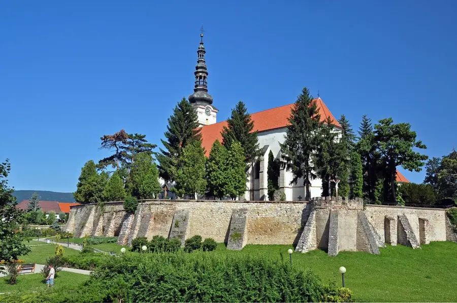

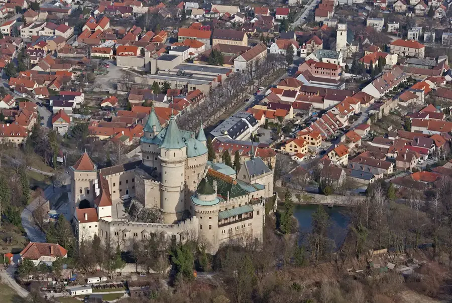
History & landmarks