Plizio Visual Lab
Levoča Mountains
Weather…
Water temperature…
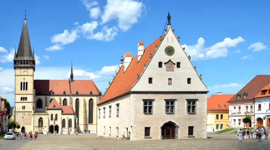
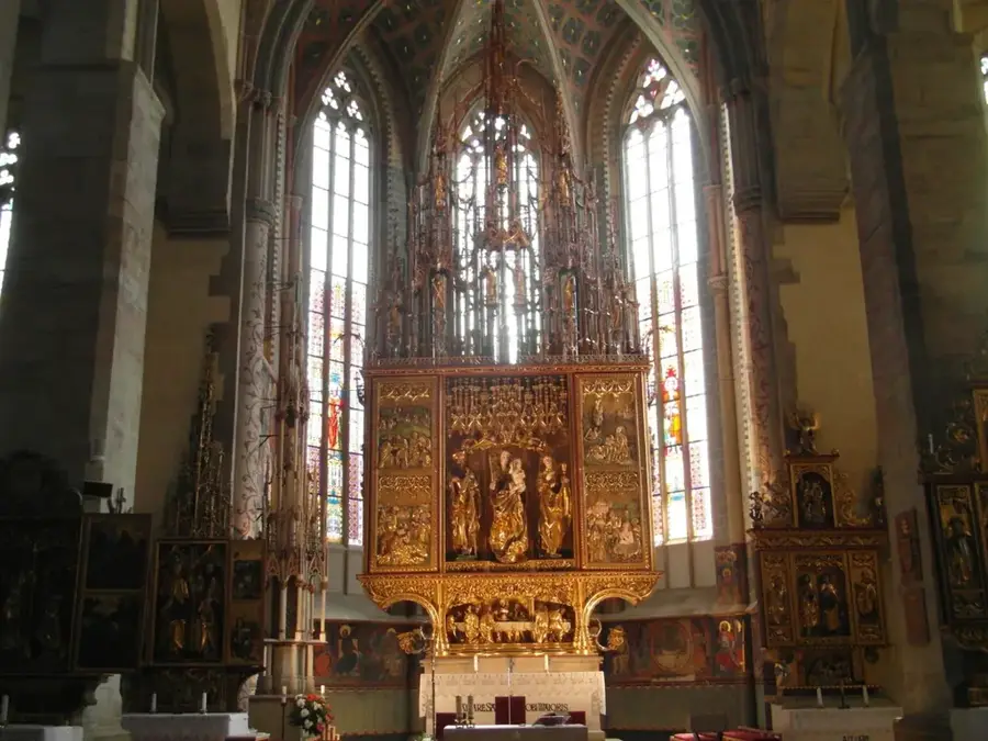
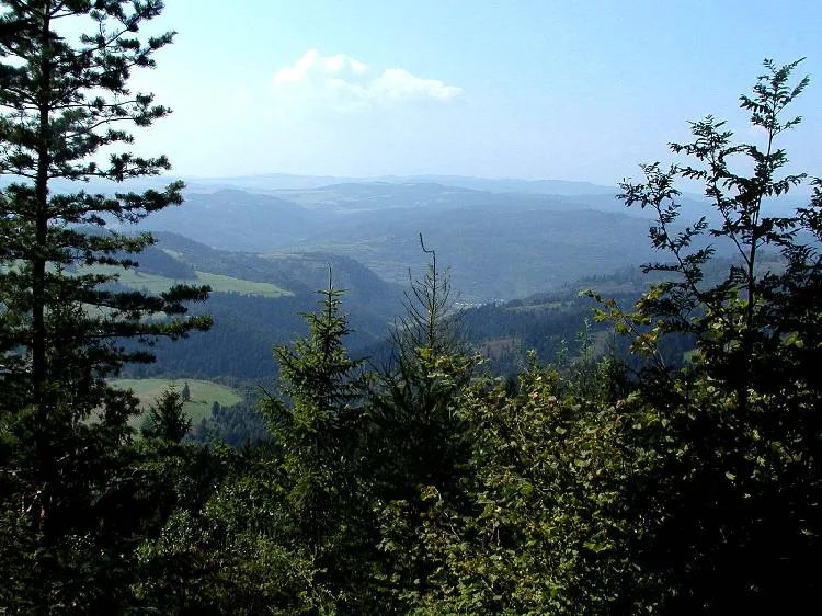
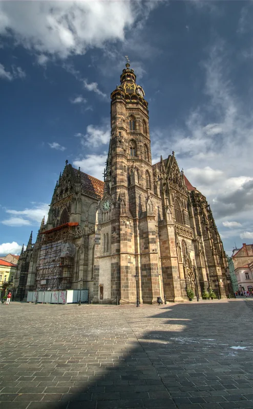
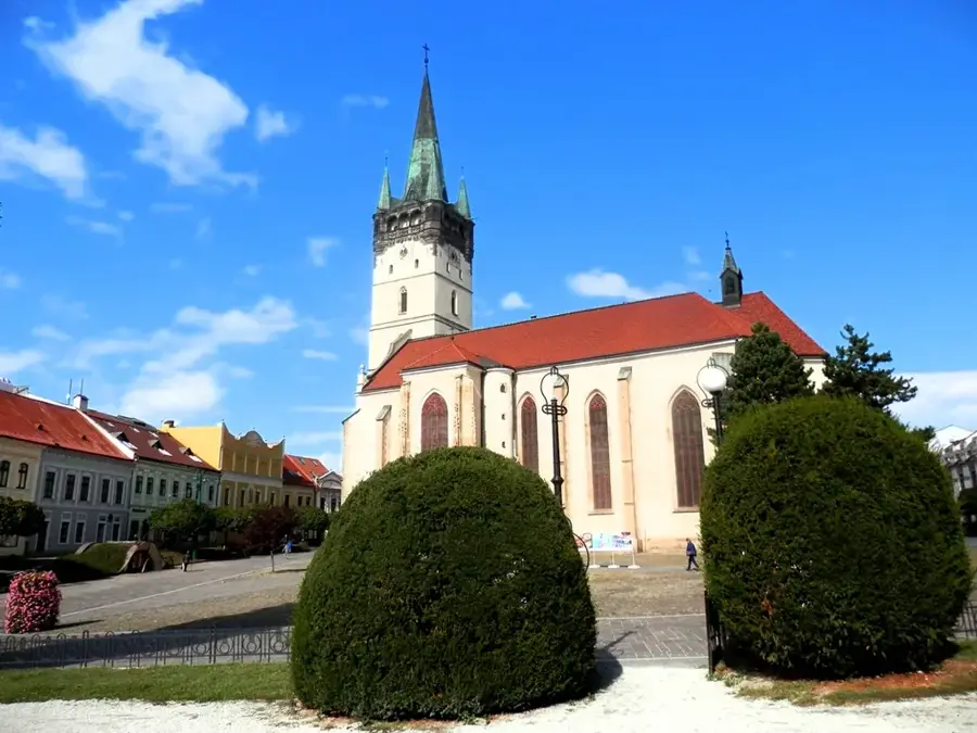
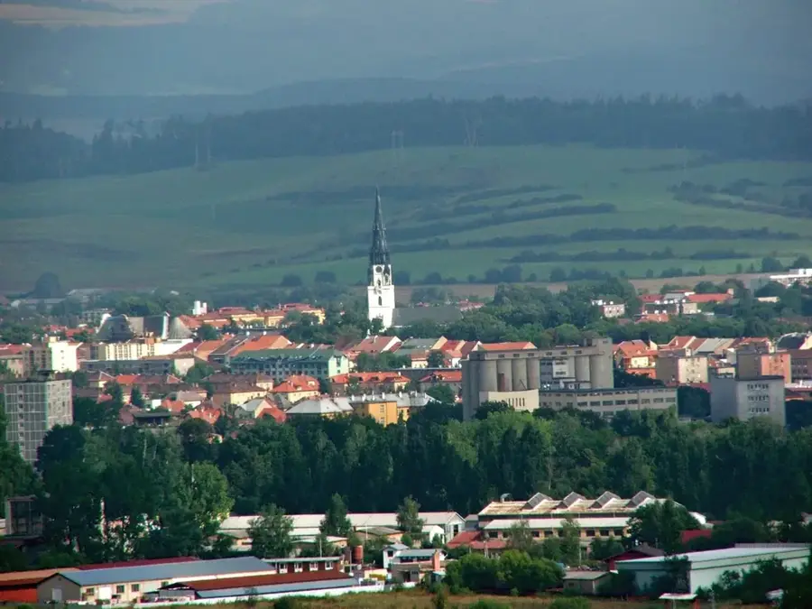
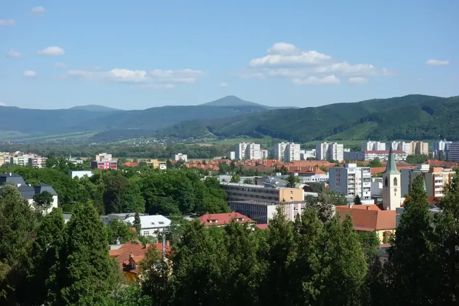
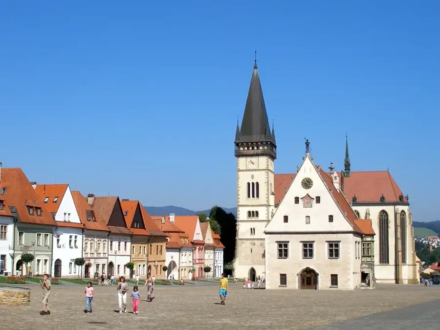
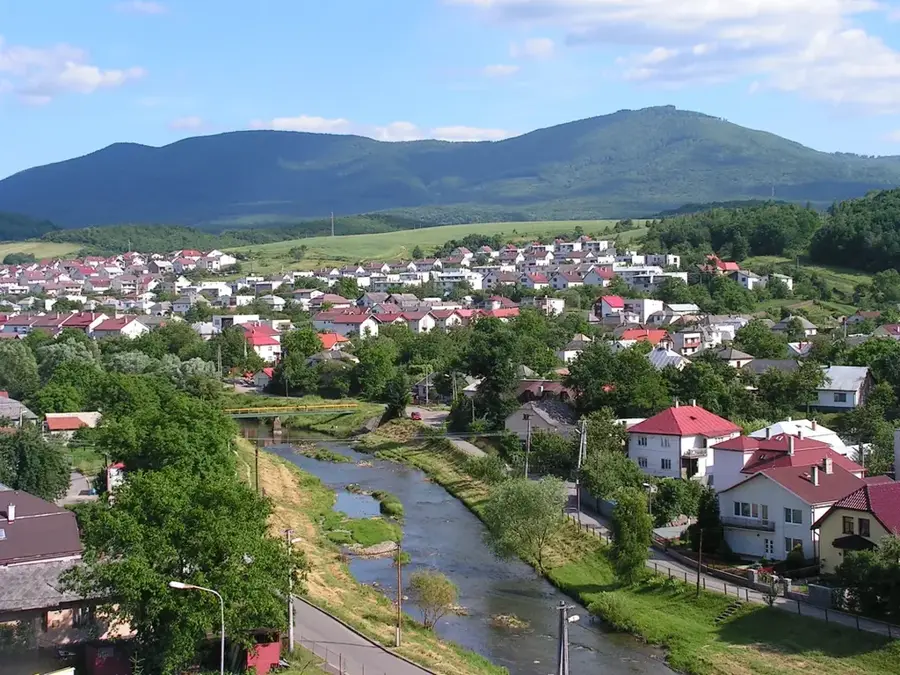
The Levoča Mountains, located in the north-eastern part of Slovakia, form a distinct geomorphological unit within the Podtatransko-magurská area. This flysch mountain range is characterized by its massive plateau-like ridges and deep valleys, with the highest peak being Čierna hora at 1,289 meters above sea level. For several decades, specifically between 1953 and 2010, a significant portion of the range served as the Javorina military training area, which restricted public access but unintentionally preserved large tracts of wilderness and diverse ecosystems. Today, the area is increasingly popular for hiking and mountain biking, offering a serene landscape dominated by spruce and fir forests. The region also acts as a vital hydrological divide between the Baltic and Black Sea basins, with rivers like the Torysa originating or flowing through its territory. The mountains provide a scenic backdrop to the historic town of Levoča, a UNESCO World Heritage site known for its medieval architecture and the highest wooden altar in the world by Master Paul.
- Location: Slovakia
- Top sights: Škapová · Derežová · Javor
- Nearby: Podolínec (13 km)
Best time to visit & climate
The most pleasant time to visit is Jun–Aug.
| Jan | Feb | Mar | Apr | May | Jun | Jul | Aug | Sep | Oct | Nov | Dec | |
|---|---|---|---|---|---|---|---|---|---|---|---|---|
| Avg °C | -6 | -4 | 0 | 7 | 12 | 16 | 17 | 17 | 12 | 7 | 2 | -4 |
| Rain mm | 49 | 49 | 52 | 57 | 100 | 107 | 119 | 85 | 74 | 66 | 56 | 50 |
📋 Practical info
Geography
Facts
- The highest point is Čierna hora, reaching 1,289 meters.
- The Javorina military district occupied the area from 1953 to 2010.
- Geologically, the mountains consist of Paleogene flysch layers.
- The Torysa River has its source in these mountains.
- The area was officially reopened to the public in January 2011.
- It serves as a watershed between the Baltic and Black Sea basins.
Explore nearby
Notable places around
Route planner — Car & Motorhome
Where do you start? We build the route here, with stops and country notes along the way.
© OpenStreetMap contributors · OpenRouteService
Sights in the town Levoča Mountains (3)
Sights nearby
Frequently asked questions
Can the Levoča Mountains be visited freely today?
What outdoor activities are popular here?
What is the highest mountain in the Levoča Mountains?
Are there historic towns nearby?
What is Mariánska hora?
Levoča Mountains: where is it located?
Levoča Mountains: what is there to see?
Levoča Mountains: when is the best time to visit?
Levoča Mountains: why is it worth visiting?

Nearby cities


History & landmarks