Plizio Visual Lab
Yonibana
ℹ️Practical info — Yonibana
▾
🌤 Weather — 5 days
📍 Nearby
Sights nearby
💡 Tips
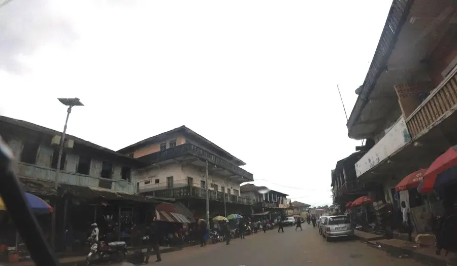
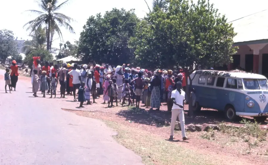
- Visit Yonibana on a market day ('Luma') to experience the full energy of this historic transit hub.
- Look out for traditional Temne architecture in the older quarters of the town.
- Use the town as a convenient stopover point when traveling between Freetown and the North.
- Ask locals about the history of the Yoni Chiefdom; the town has a rich historical legacy.
- Be careful when crossing the main junction as traffic can be quite busy and hectic.
🍽 Food
These fried treats are first-rate for breakfast and are sold piping hot at the main junction.
A local specialty with a unique flavor, often served with pounded yam.
The classic traveler's snack, available everywhere along the main transit road.
🛍 Shopping · 🧘 Quiet spots
A great spot for fresh seasonal fruits and handcrafted wooden household items.
Look for colorful fabrics often brought here by traders from across the district.
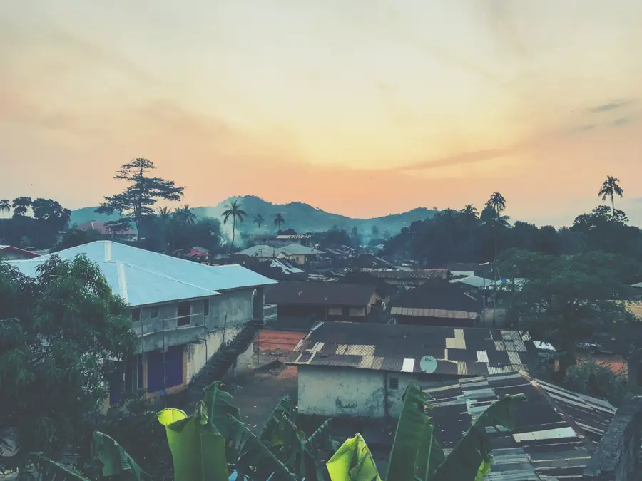
Walk away from the main highway into the side streets to see the calmer side of town.
Near the local schools, you can often find large trees providing a cool spot to sit and relax.
Water temperature…
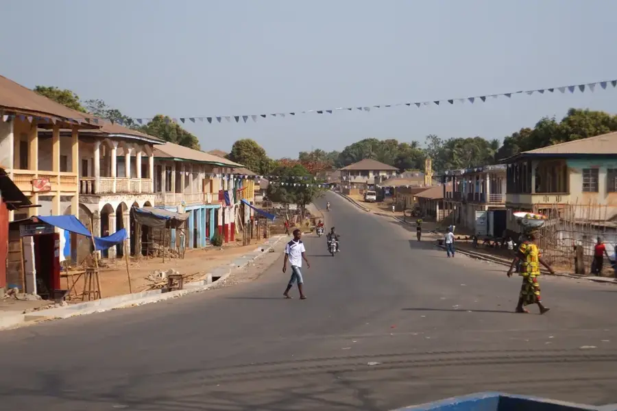
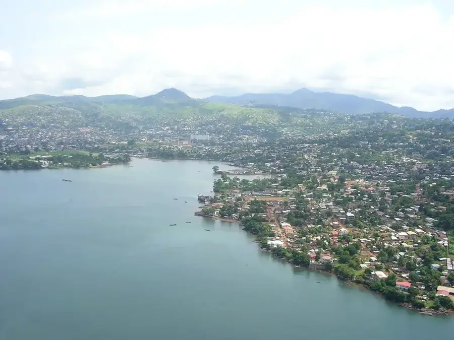
Yonibana is a small town in Tonkolili District in Sierra Leone's Northern Province, set in the Temne heartland on an important side road between Mile 91 and Magburaka. The town is the headquarters of Yoni Mamaila chiefdom and a key agricultural node for the floodplains of the Pampana and Rokel river basins. Yonibana has been known for generations for its swamp and lowland rice farming and for a strong tradition of groundnut production and cassava processing. During the British colonial era, Yonibana was a station on the old railway to Magburaka, making the town a central gathering point for farming families across the area. Today Yonibana has several schools, a secondary school, a clinic, a weekly market, and a sports field that hosts local football tournaments between Yoni Mamaila, Kunike Sanda, and Yele. The town stands for the typical rice-farming life of the northern hinterland of Sierra Leone.
- Location: Sierra Leone
- Nearby: Mile 91 (8 km)
- Population: ~3.589 (2014)
Best time to visit & climate
The most pleasant time to visit is Jan, Feb, Dec.
| Jan | Feb | Mar | Apr | May | Jun | Jul | Aug | Sep | Oct | Nov | Dec | |
|---|---|---|---|---|---|---|---|---|---|---|---|---|
| Avg °C | 27 | 29 | 30 | 30 | 28 | 26 | 25 | 24 | 25 | 26 | 26 | 26 |
| Rain mm | 1 | 5 | 12 | 33 | 115 | 324 | 451 | 521 | 350 | 166 | 54 | 5 |
Geography
Facts
- Located in the Tonkolili District of the Northern Province.
- Critical road junction linking Freetown to the eastern regions.
- Economy is based on rice cultivation and palm oil production.
- The population is predominantly of the Temne ethnic group.
- Served as a regional administrative hub during the colonial era.
- Underwent significant reconstruction after the civil war ended in 2002.
Explore nearby
Notable places around
Route planner — Car & Motorhome
Where do you start? We build the route here, with stops and country notes along the way.
© OpenStreetMap contributors · OpenRouteService
Frequently asked questions
Why should I visit Yonibana?
Are there markets in Yonibana?
How long does the journey to Yonibana take?
Do I need a car in Yonibana?
Is Yonibana safe in the summer?
Yonibana: where is it located?
Yonibana: when is the best time to visit?
Yonibana: why is it worth visiting?

Nearby cities

History & landmarks
Nature
More places