Plizio Visual Lab
Kabala
ℹ️Practical info — Kabala
▾
🌤 Weather — 5 days
📍 Nearby
Sights nearby
💡 Tips
- The climate here is noticeably cooler than the rest of Sierra Leone, especially at night, so bring light layers.
- The New Year's Day hike up Gbawuria Hill is a huge local festival; expect massive crowds if visiting then.
- Cash is essential, as ATMs can be unreliable or empty; bring enough Leones from a larger city.
- Hire a local guide through your guesthouse to explore the surrounding hills safely and respectfully.
🍽 Food
A staple hearty dish often cooked with palm oil and fish or meat, available at local chop bars.
The Koinadugu district is known for producing rich, wild honey.
Enjoy freshly picked mangoes, pineapples, and bananas sold by street vendors.
🛍 Shopping · 🧘 Quiet spots
A bustling hub where you can buy fresh produce, spices, and everyday goods.
Look for locally woven "country cloth" which makes a unique souvenir.
Outside of holidays, a hike up this hill has peace and remarkable panoramic views of the town.
Walk slightly out of town to enjoy the quiet, rolling green landscapes of the region.
Water temperature…
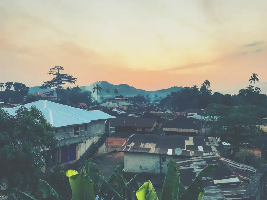
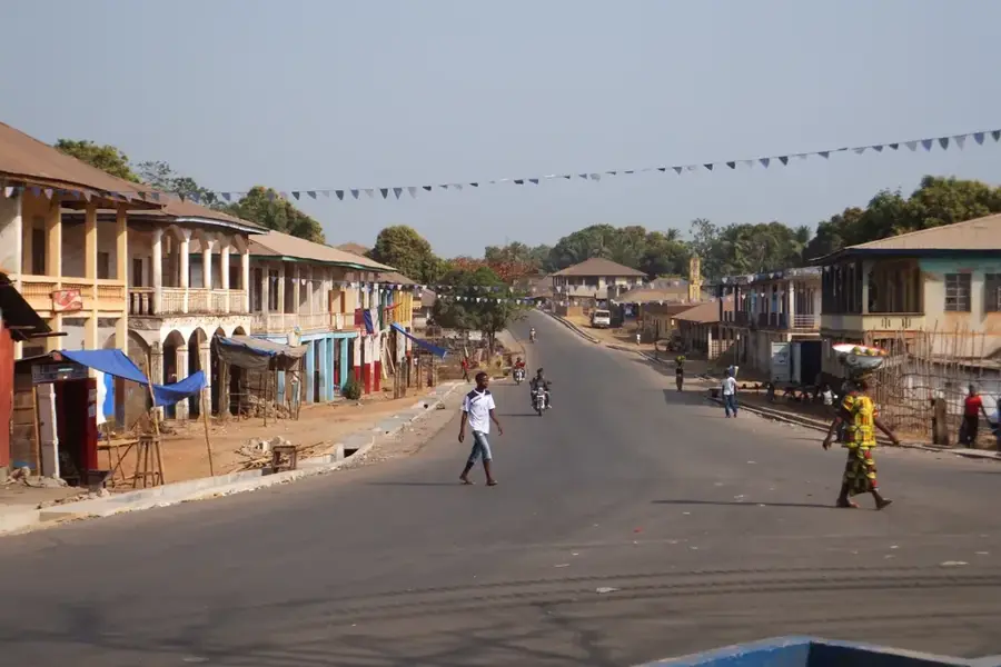
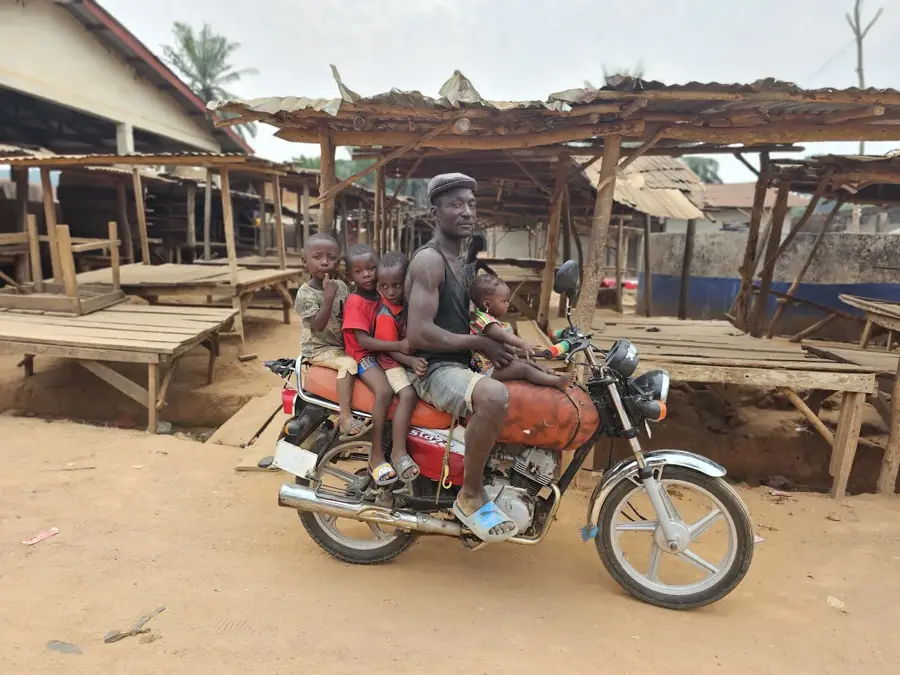
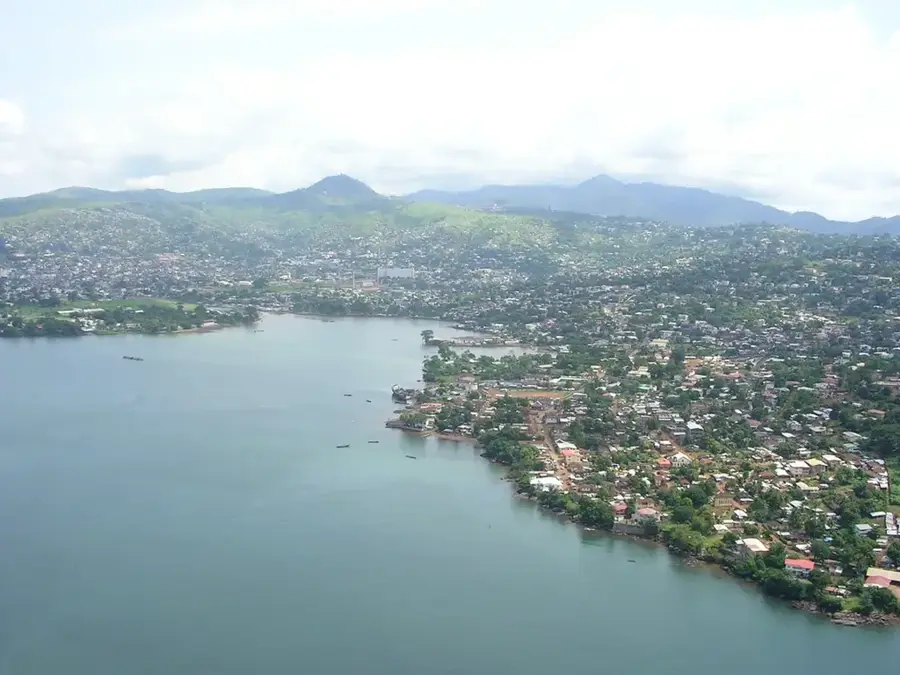
Kabala is the headquarters of Koinadugu District in the far north of Sierra Leone and lies at about 400 meters elevation in a valley at the foot of the Wara-Wara Mountains. Thanks to its altitude and the nearby ranges, Kabala is regarded as the coolest town in the country; during the dry season nighttime temperatures can drop below ten degrees Celsius, and the surrounding landscape is dominated by mountain savanna, Kuranko, Yalunka, Limba, and Fula villages, and extensive upland pastures. In the 19th century Kabala was a key node in the long-distance trade between the Niger basin and the Atlantic coast, and today it is a center for cattle herding, vegetable farming, and the annual 'Kabala Bondo Hill Climb' cultural day, on which residents traditionally make a pilgrimage up the sacred Wara-Wara hill. The town has a government hospital, a teacher training college, and a lively market quarter offering potatoes, onions, tomatoes, and honey from the surrounding mountains. The sweeping view from Gbawuria Hill is one of Sierra Leone's most iconic postcard scenes.
- Location: Sierra Leone
- Nearby: Fadugu (33 km)
- Population: ~17.948 (2024)
Best time to visit & climate
The most pleasant time to visit is Jan, Feb, Dec.
| Jan | Feb | Mar | Apr | May | Jun | Jul | Aug | Sep | Oct | Nov | Dec | |
|---|---|---|---|---|---|---|---|---|---|---|---|---|
| Avg °C | 23 | 26 | 28 | 28 | 27 | 25 | 24 | 23 | 24 | 25 | 25 | 23 |
| Rain mm | 2 | 4 | 7 | 28 | 100 | 251 | 414 | 527 | 333 | 136 | 32 | 2 |
Geography
Facts
- Capital of Koinadugu District, the largest district by land area
- One of Sierra Leone's highest urban centers at 420m elevation
- Famous for the annual New Year's Day hill climbing festival
- Key hub for cattle ranching and vegetable production
- Diverse ethnic mix including Limba, Kuranko, and Fula peoples
- Surrounded by the scenic Wara Wara mountain range
Explore nearby
Notable places around
Route planner — Car & Motorhome
Where do you start? We build the route here, with stops and country notes along the way.
© OpenStreetMap contributors · OpenRouteService
Sights in the town Kabala (1)
Frequently asked questions
Why should you visit Kabala?
Can you hike nearby?
What is the best way to travel?
Are there hotels?
Is the area safe?
Kabala: where is it located?
Kabala: when is the best time to visit?
Kabala: why is it worth visiting?

Nearby cities
History & landmarks
Nature
More places