Plizio Visual Lab
Akagera Hills

Weather…
Water temperature…
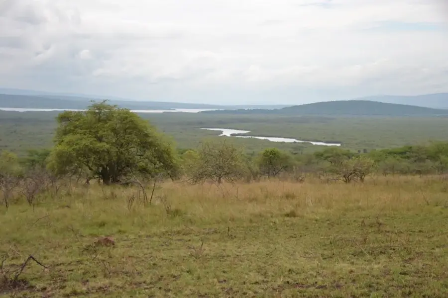
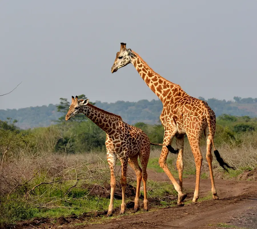
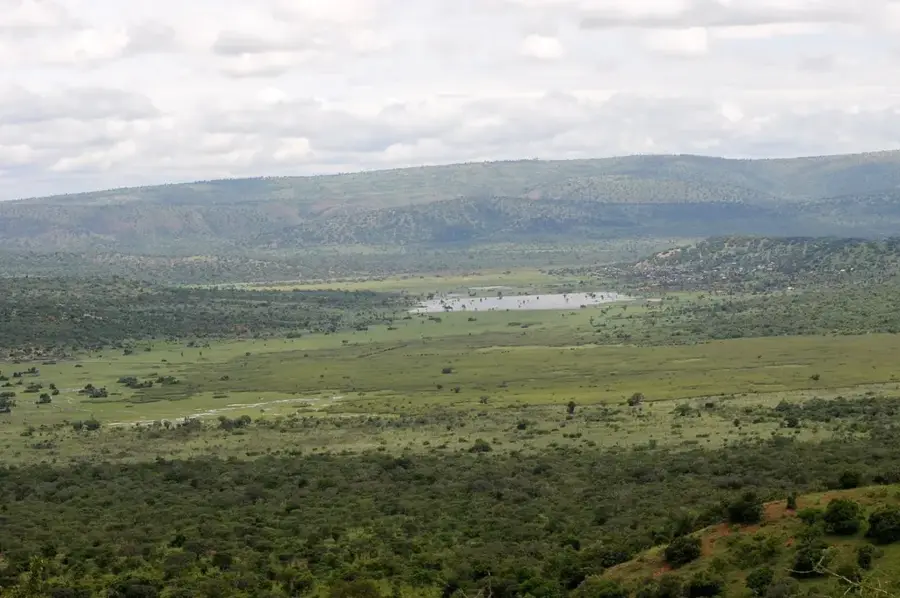
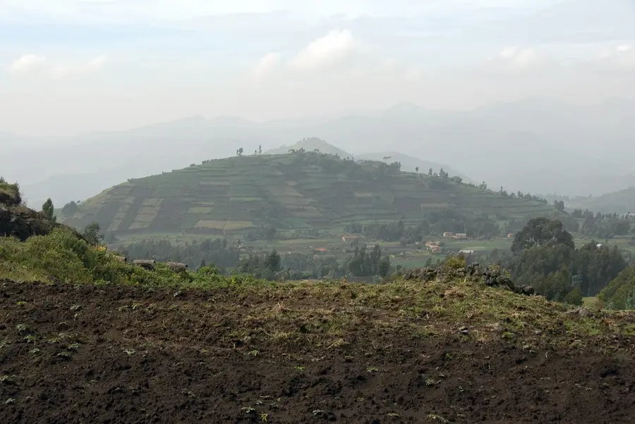
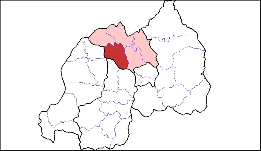
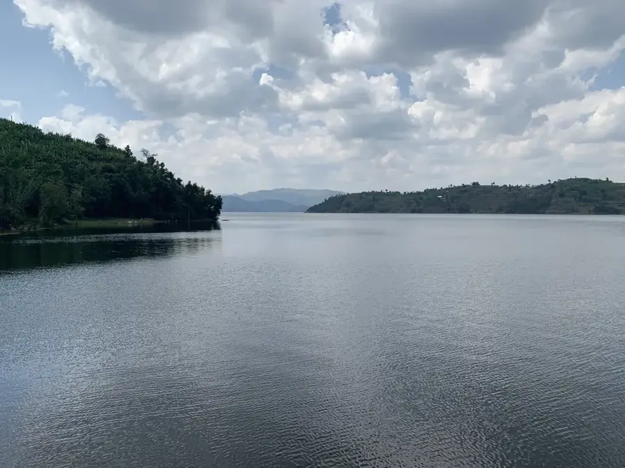
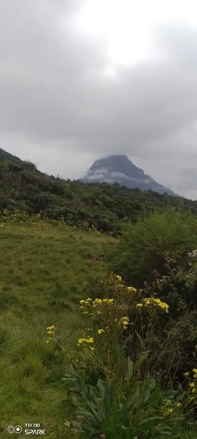
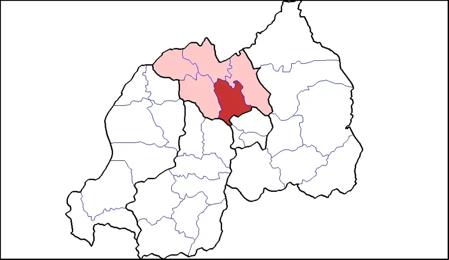
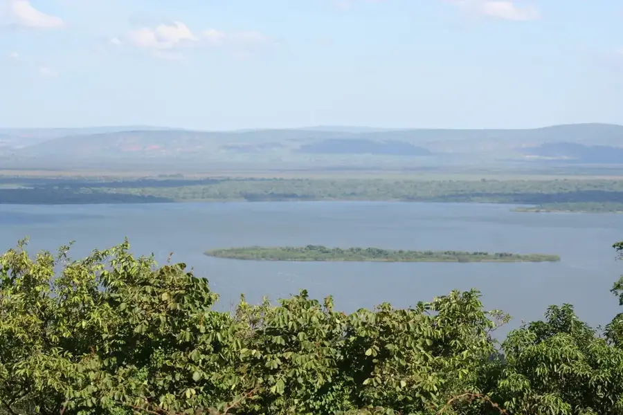
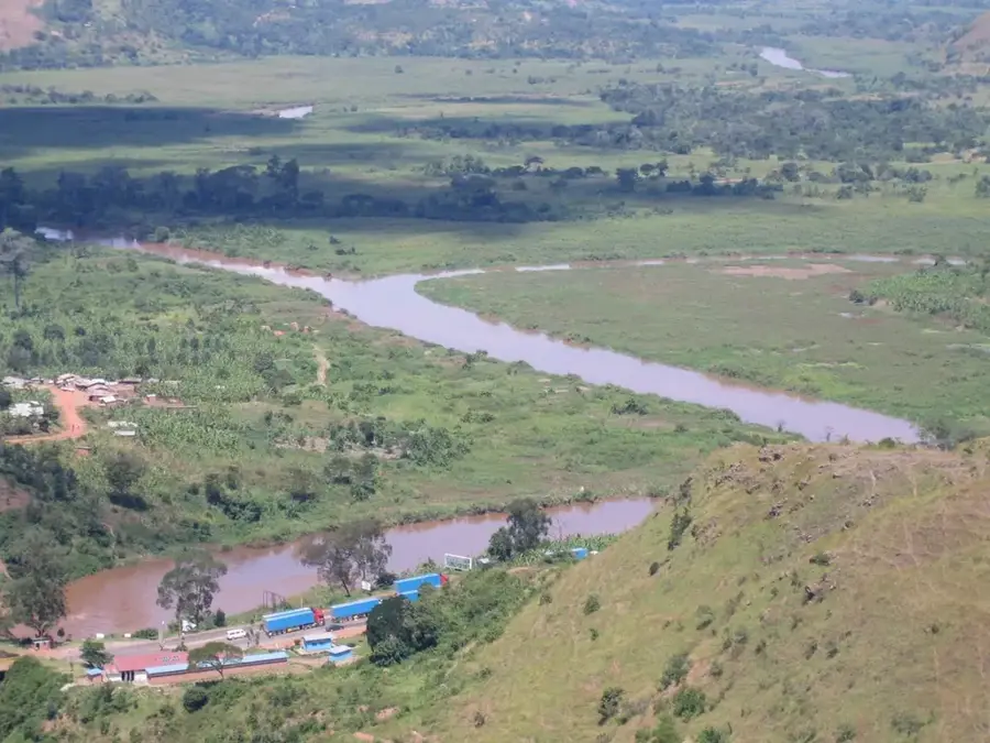
The Akagera Hills characterize the eastern landscape of Rwanda, forming a scenic transition between the central highlands and the vast plains of neighboring Tanzania. These rolling savannah elevations range between 1,300 and 1,800 meters above sea level and are an integral part of the Akagera National Park, established in 1934. The geological formation consists primarily of ancient metamorphic rocks that have been weathered into the current undulating terrain over millions of years. This region is critical for biodiversity, supporting large herbivores such as elephants and buffaloes, alongside successfully reintroduced populations of lions and rhinoceroses. The hilltops provide natural vantage points overlooking the complex system of lakes and papyrus swamps fed by the Akagera River. Despite historical ecological challenges during the 1990s, extensive conservation efforts have restored the ecosystem's integrity and its prominence in East African ecology.
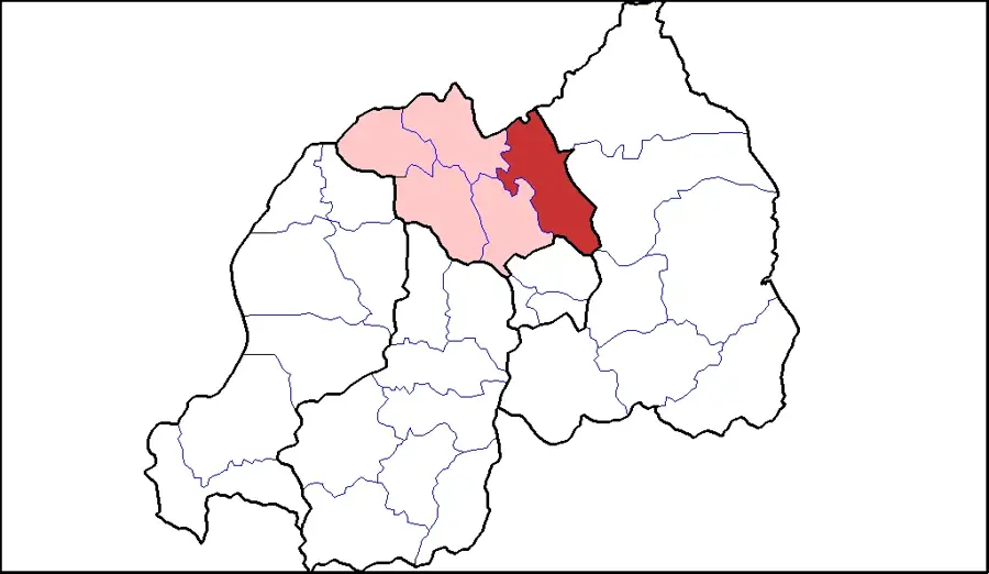
- Location: Rwanda
- Nearby: Kabarondo (7 km)
Best time to visit & climate
The most pleasant time to visit is Jun–Aug.
| Jan | Feb | Mar | Apr | May | Jun | Jul | Aug | Sep | Oct | Nov | Dec | |
|---|---|---|---|---|---|---|---|---|---|---|---|---|
| Avg °C | 21 | 22 | 21 | 20 | 20 | 20 | 20 | 21 | 21 | 21 | 20 | 21 |
| Rain mm | 93 | 89 | 145 | 167 | 127 | 42 | 26 | 47 | 86 | 125 | 157 | 103 |
📋 Practical info
Geography
Facts
- The hills are located within Rwanda's oldest national park, founded in 1934.
- Average elevations in this region fluctuate between 1,300 and 1,800 meters.
- The terrain consists mainly of savannah-covered hills and acacia woodlands.
- Metamorphic rock structures form the geological backbone of the hill system.
- The Akagera River, defining the eastern border, flows below these hills.
- Large-scale restoration since 2010 has reintroduced apex predators to the area.
Explore nearby
Notable places around
Route planner — Car & Motorhome
Where do you start? We build the route here, with stops and country notes along the way.
© OpenStreetMap contributors · OpenRouteService
Sights in the town Akagera Hills (1)
Sights nearby
Frequently asked questions
Are the Akagera hills easy to hike?
Are there wild animals in the hills?
Do I need a guided tour?
What is the best time of day for hiking?
Do I need to bring drinking water?
Akagera Hills: where is it located?
Akagera Hills: when is the best time to visit?
Akagera Hills: why is it worth visiting?

Nearby cities


History & landmarks
Nature


More places