Plizio Visual Lab
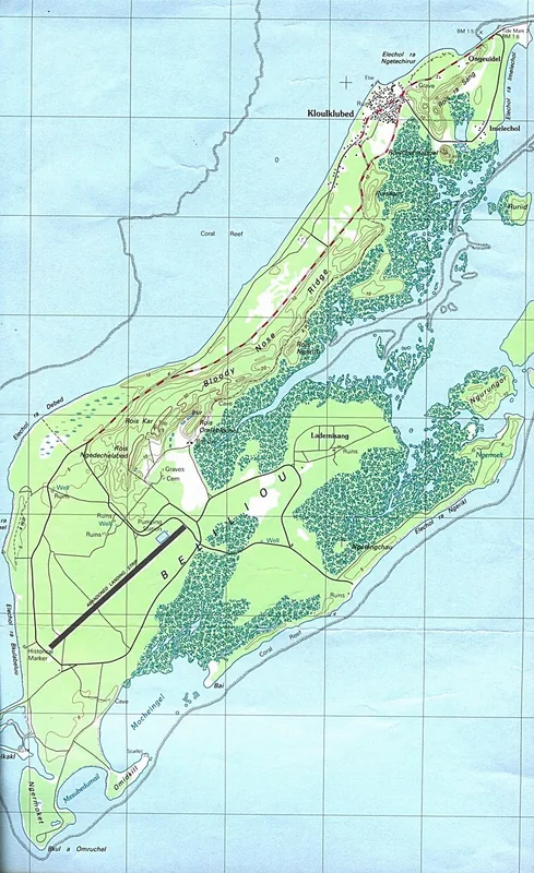
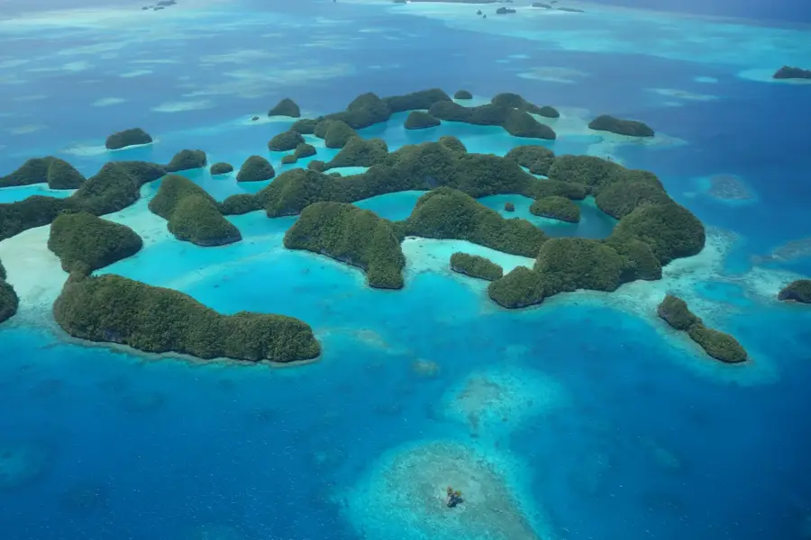
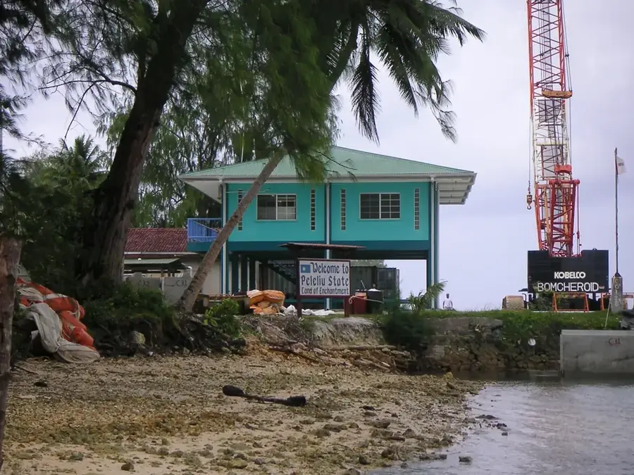
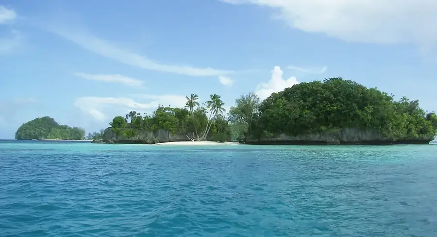
Peleliu South Harbor
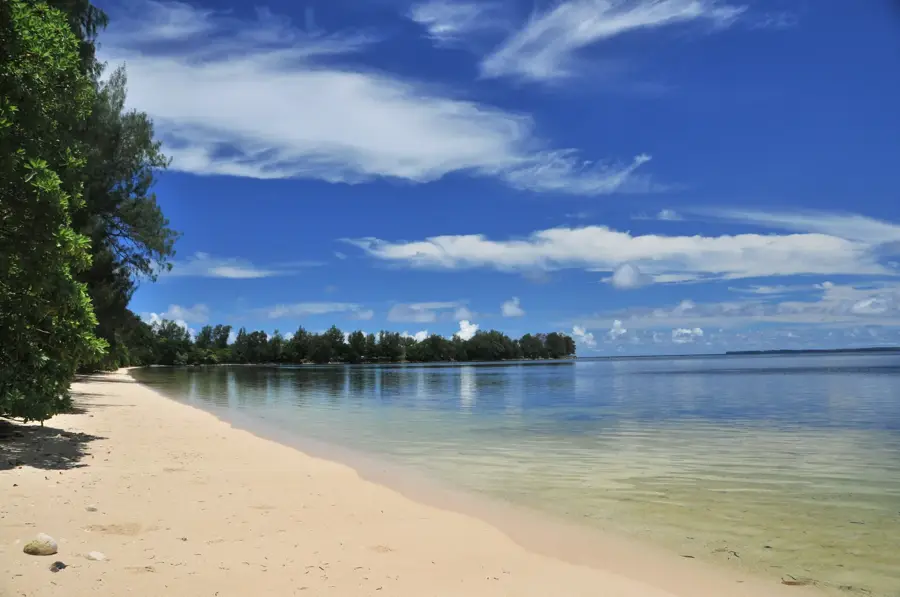
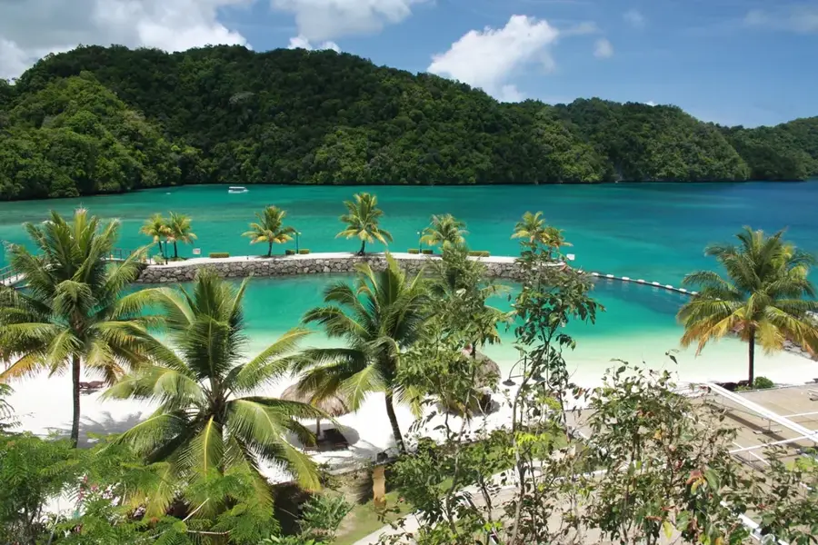
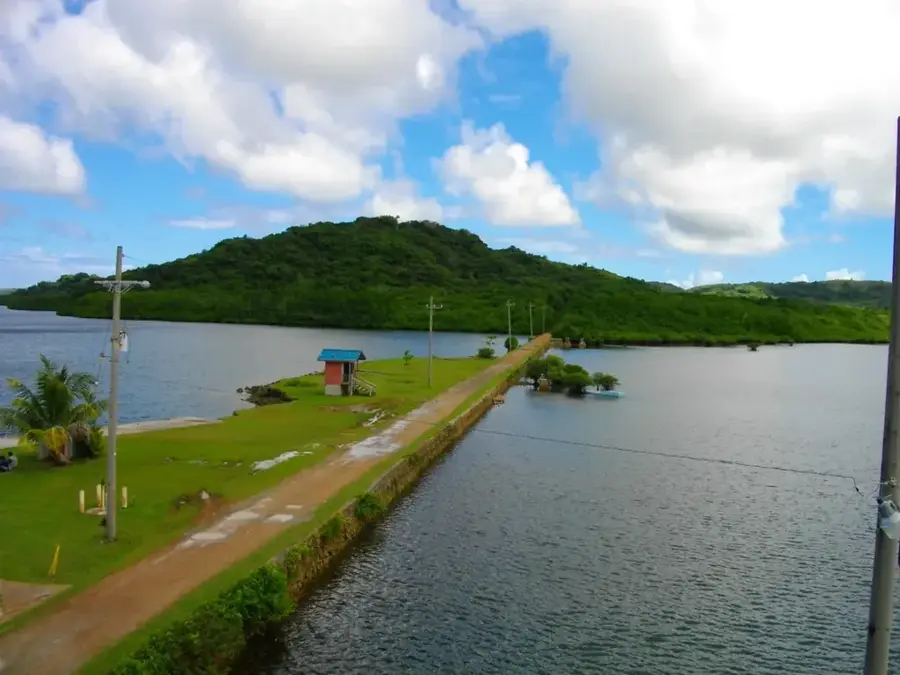
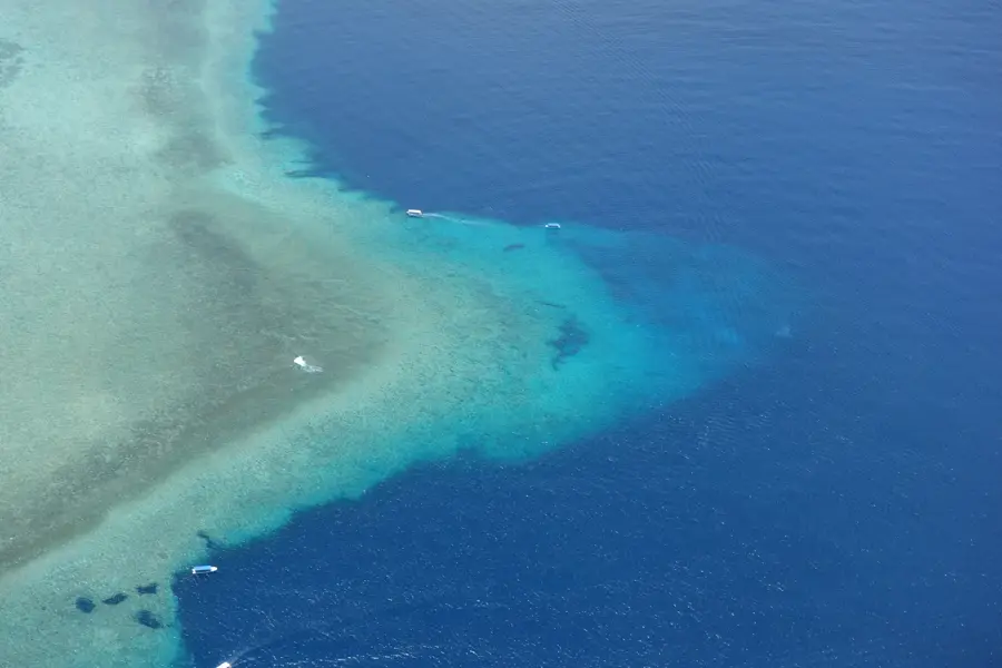
Peleliu South Harbor serves as the vital economic lifeline for the island, acting as the primary transit point for goods and people traveling between Peleliu and the northern islands. The harbor is essential for the local economy, providing the necessary infrastructure for fishermen to dispatch their catches and for farmers to send agricultural produce to the markets in Koror. It is the main docking facility for the state-run ferry service, which remains the most critical transportation link for the island's residents. Historically, the harbor area was a scene of intense strategic maneuvering during World War II, having been established as a military port of great significance. Today, the remnants of that era contrast with the bustling civilian activity of the pier. The harbor also houses administrative offices, including a customs point, ensuring that maritime traffic in Palau's southern waters is efficiently managed. For many travelers, this harbor is the gateway to the panoramic diving and snorkeling sites that surround the island.
- Location: Palau
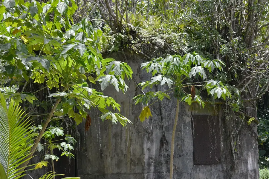
- Top sights: WWII Japanese Communications Center · Japanese WWII Ruin · Elechol Ra Ngetechirur
- Nearby: Angaur (17 km)
Best time to visit & climate
The most pleasant time to visit is Feb–Apr.
| Jan | Feb | Mar | Apr | May | Jun | Jul | Aug | Sep | Oct | Nov | Dec | |
|---|---|---|---|---|---|---|---|---|---|---|---|---|
| Avg °C | 28 | 28 | 28 | 28 | 28 | 28 | 28 | 28 | 28 | 28 | 28 | 28 |
| Rain mm | 216 | 198 | 184 | 177 | 285 | 338 | 381 | 286 | 275 | 232 | 236 | 257 |
📋 Practical info
Geography
Facts
- Main port for passenger traffic to and from Koror
- Located at the southern tip of Peleliu Island
- Modernized through Japanese development assistance
- Serves as a base for local artisanal fishing boats
- Important transit point for construction materials
- Nearby area contains several World War II memorials
Explore nearby
Notable places around
Route planner — Car & Motorhome
Where do you start? We build the route here, with stops and country notes along the way.
© OpenStreetMap contributors · OpenRouteService
Sights in the town Peleliu South Harbor (8)
Evangelical Church
An evangelical church in Peleliu, Palau. It is a place of worship.
Elechol Ra Imelechol
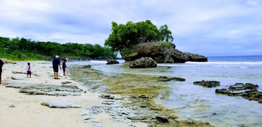
A beach in Peleliu, Palau. It lies on the coast.
Visitor Center🏛 museum
A museum in Peleliu, Palau. It provides information about the island's history.
Japanese Memorial Graveyard
A Japanese memorial graveyard in Peleliu, Palau. It commemorates the fallen.
Sights nearby
Frequently asked questions
What is the Südhafen von Peleliu?
Is the harbor accessible to tourists?
When should one visit this location?
Are there facilities for travelers?
What is there to see nearby?
Peleliu South Harbor: where is it located?
Peleliu South Harbor: what is there to see?
Peleliu South Harbor: when is the best time to visit?
Peleliu South Harbor: why is it worth visiting?

Nearby cities

History & landmarks
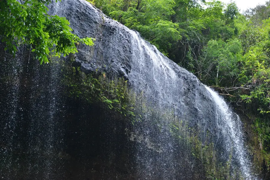
Nature
More places