Plizio Visual Lab
Veatinden

Weather…
Water temperature…
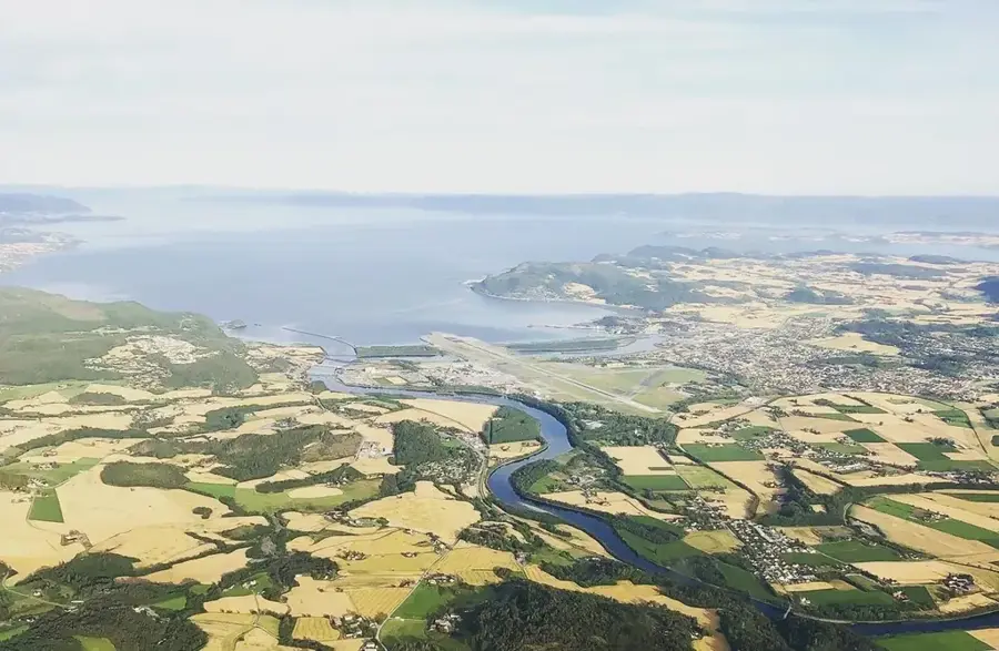
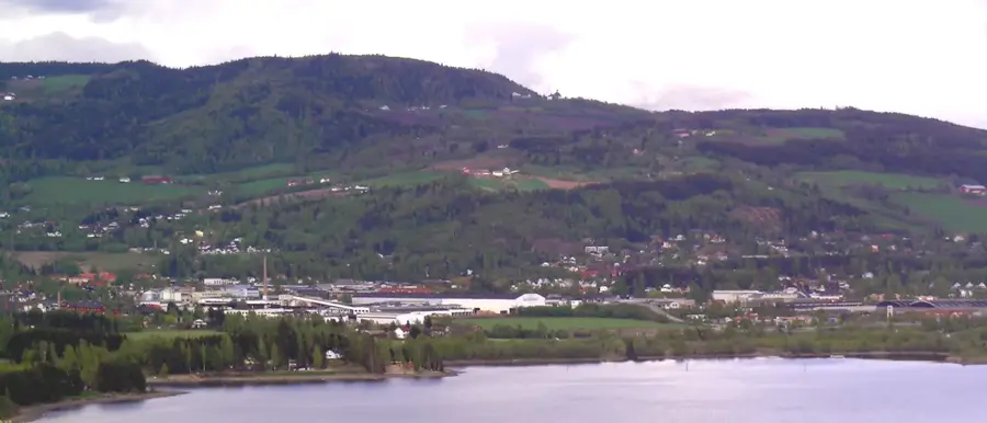
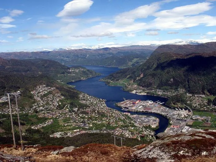
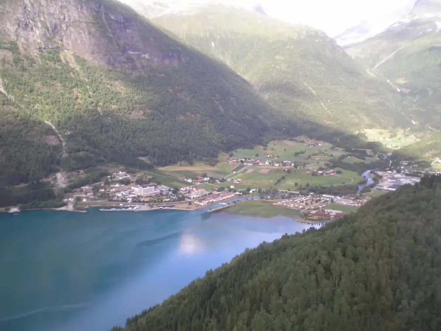
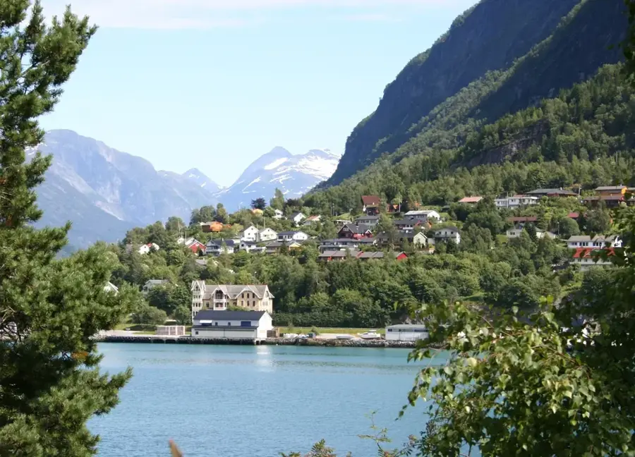
Veatinden is a prominent mountain located on the island of Gurskøya in the Sunnmøre region, reaching an elevation of approximately 400 meters. Part of the rugged landscape in Sande municipality, it gives hikers a spectacular vantage point overlooking the Gurskefjord and the vast Atlantic Ocean beyond. The geological structure of Veatinden is defined by tough gneiss, which was sculpted into its current form by intense glacial erosion during the last ice age. The hike to the summit is rated as moderately difficult, winding through a diverse environment of heather moors and rocky outcrops. In local maritime lore, the mountain has long served as a vital landmark for sailors navigating the treacherous coastal waters of Western Norway. Today, Veatinden is a favored destination for both residents and visitors seeking the peace and expansive views typical of the Norwegian island coast.
- Location: Norway
- Nearby: Geiranger (12 km)
Best time to visit & climate
The most pleasant time to visit is Jun–Aug.
| Jan | Feb | Mar | Apr | May | Jun | Jul | Aug | Sep | Oct | Nov | Dec | |
|---|---|---|---|---|---|---|---|---|---|---|---|---|
| Avg °C | -9 | -9 | -7 | -4 | -1 | 3 | 8 | 8 | 4 | -2 | -6 | -8 |
| Rain mm | 244 | 189 | 196 | 145 | 133 | 145 | 177 | 196 | 232 | 203 | 236 | 264 |
📋 Practical info
Geography
Facts
- Summit stands at approximately 400 meters
- Located on the island of Gurskøya
- Part of the Sande municipality in Sunnmøre
- Mainly composed of durable gneiss rock
- Provides views over the Gurskefjord
- Historical navigational aid for mariners
Explore nearby
Notable places around
Route planner — Car & Motorhome
Where do you start? We build the route here, with stops and country notes along the way.
© OpenStreetMap contributors · OpenRouteService
Sights nearby
Frequently asked questions
Where is Veatinden located?
How difficult is the ascent?
What is the highlight of the view?
Can you climb Veatinden during the midnight sun?
Are there marked trails?
Veatinden: where is it located?
Veatinden: when is the best time to visit?
Veatinden: why is it worth visiting?

Nearby cities