Plizio Visual Lab
Rauma River
Weather…
Water temperature…
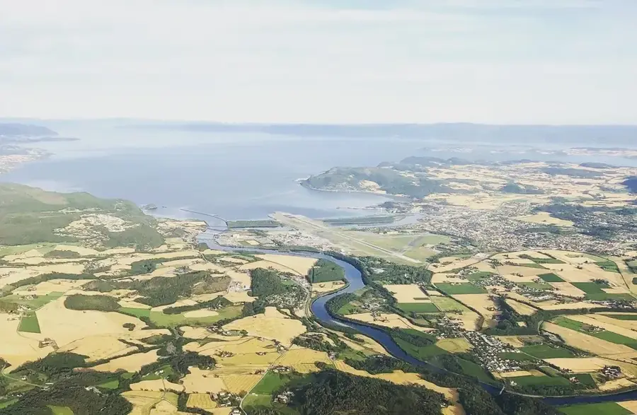
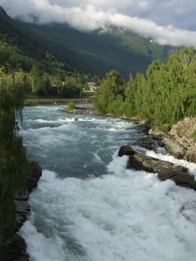
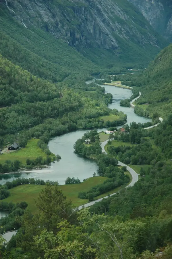
The Rauma River originates from Lake Lesjaskogsvatnet and flows for 68 kilometers through the spectacular Romsdalen valley before emptying into the Romsdalsfjord at Åndalsnes. It is renowned for its steep gradient and numerous dramatic waterfalls, with Slettafossen being among the most famous. The valley is flanked by massive rock faces like Trollveggen, Europe's highest vertical wall, providing a unique backdrop to the river landscape. Historically, the Rauma was a legendary salmon river, attracting many British aristocrats for sport fishing in the 19th century and thus establishing early tourism in the region. An engineering masterpiece along the river is the Kylling Bridge on the Rauma Line, one of Norway's most photographed railway bridges. Today, protecting the river from hydroelectric projects is a central priority to preserve natural salmon spawning grounds and the valley's pristine beauty for future generations.
- Location: Norway
- Nearby: Trollstigen (6 km)
Best time to visit & climate
The most pleasant time to visit is Jun–Aug.
| Jan | Feb | Mar | Apr | May | Jun | Jul | Aug | Sep | Oct | Nov | Dec | |
|---|---|---|---|---|---|---|---|---|---|---|---|---|
| Avg °C | -5 | -5 | -3 | 0 | 4 | 8 | 12 | 11 | 8 | 2 | -2 | -4 |
| Rain mm | 198 | 164 | 160 | 119 | 114 | 141 | 155 | 168 | 185 | 151 | 184 | 210 |
📋 Practical info
Geography
Facts
- The total length of the river is 68 kilometers.
- Empties into the Romsdalsfjord at Åndalsnes.
- Famous for the impressive Slettafossen waterfall.
- Flows past the base of the Trollveggen vertical wall.
- The Kylling Bridge crosses the river at a height of 59 meters.
- Historically significant watercourse for Atlantic salmon.
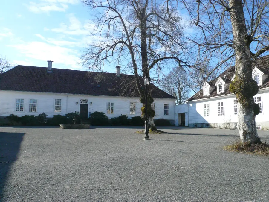
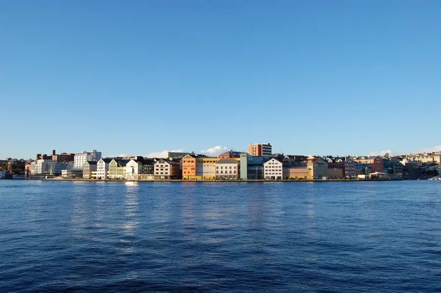
Explore nearby
Notable places around
Route planner — Car & Motorhome
Where do you start? We build the route here, with stops and country notes along the way.
© OpenStreetMap contributors · OpenRouteService
Sights nearby
Frequently asked questions
Is fishing allowed in the Rauma River?
Are there boat tours?
What is the most famous sight along the river?
Can you hike along the river?
Are there campsites?
Rauma River: where is it located?
Rauma River: when is the best time to visit?
Rauma River: why is it worth visiting?

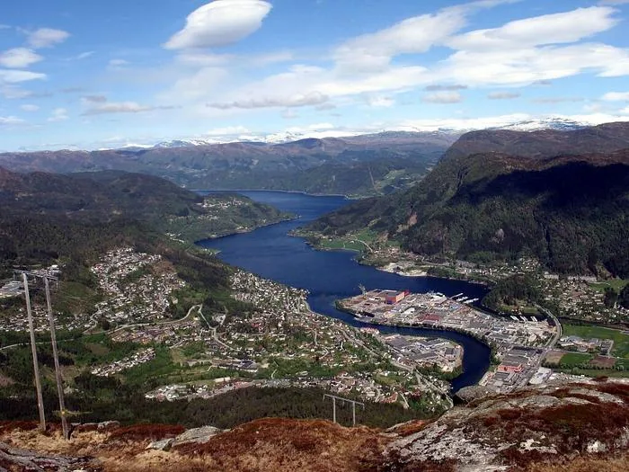
Nearby cities