Plizio Visual Lab
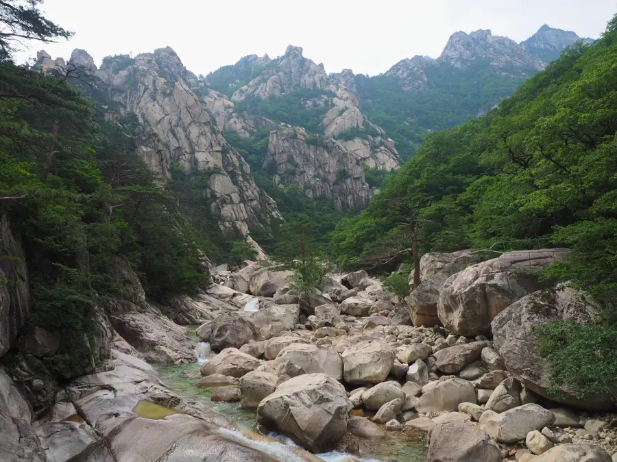
Kumgang Mountains
Weather…
Water temperature…
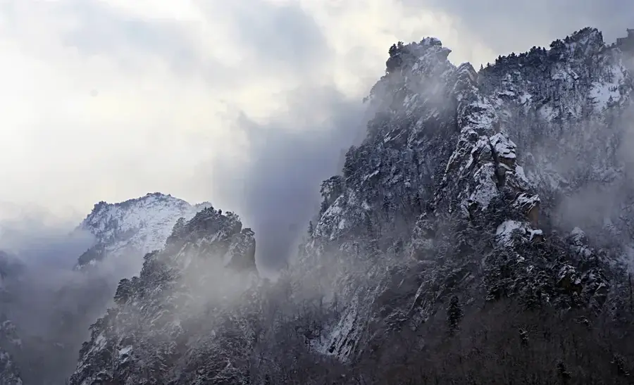
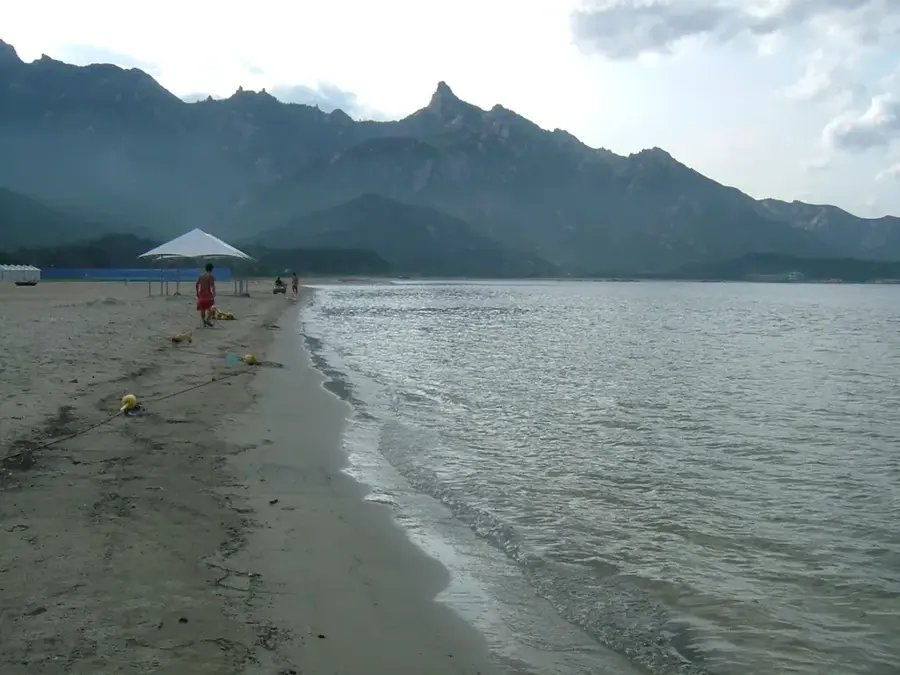
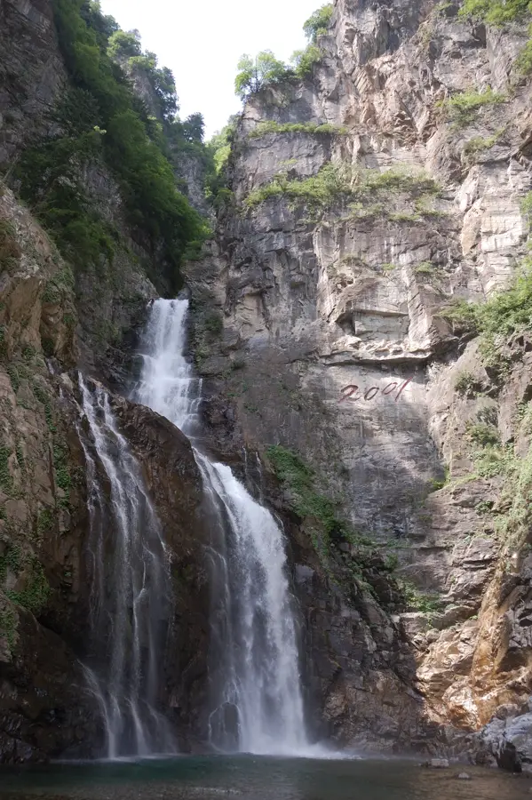
The Kumgang Mountains, often called the Diamond Mountains, are located in the Kangwon Province of North Korea and represent one of the most significant natural landmarks on the Korean Peninsula. Stretching over 160,000 square kilometers, the range is divided into Inner, Outer, and Sea Kumgang, each offering distinct geological features. The highest peak is Birobong, reaching an elevation of 1,638 meters above sea level. For centuries, these mountains have been a center of Korean Buddhism, hosting numerous temples like Pyohunsa, which dates back to the 7th century. The geological composition primarily consists of granite and diorite, which have been eroded into thousands of jagged peaks and deep ravines over millions of years. Between 1998 and 2008, the area was part of a special tourist region that allowed South Korean visitors to explore the scenic trails under strict supervision. Today, the mountains remain a symbol of national pride and a primary destination for domestic tourism and international mountaineering expeditions.
- Location: North Korea
- Top sights: Chongyang Temple · Ryongsan Hall · Panya Hall
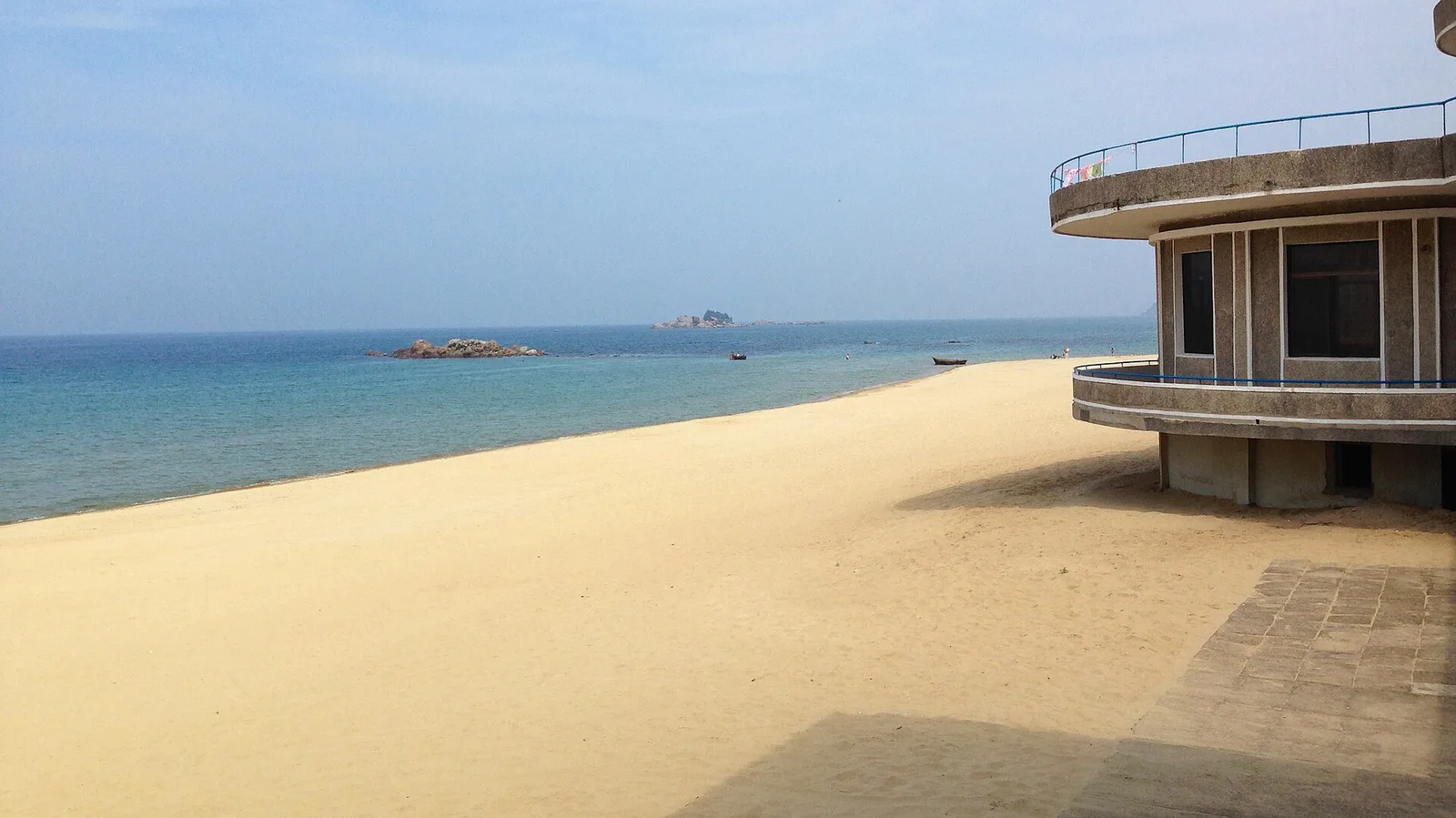
- Nearby: Mount Kumgang (6 km)
Best time to visit & climate
The most pleasant time to visit is May, Jun, Sep.
| Jan | Feb | Mar | Apr | May | Jun | Jul | Aug | Sep | Oct | Nov | Dec | |
|---|---|---|---|---|---|---|---|---|---|---|---|---|
| Avg °C | -7 | -4 | 1 | 7 | 14 | 19 | 22 | 22 | 17 | 11 | 3 | -5 |
| Rain mm | 24 | 33 | 37 | 69 | 79 | 96 | 324 | 259 | 150 | 74 | 65 | 28 |
📋 Practical info
Geography
Facts
- The highest peak is Birobong, standing at 1,638 meters.
- The mountain range is said to consist of 12,000 peaks.
- The Geumgangsan Tourist Region operated from 1998 to 2008.
- The historic Pyohunsa Temple was founded in the year 670 AD.
- The geology is primarily composed of granite and diorite rocks.
- The total area of the range exceeds 160,000 square kilometers.
Explore nearby
Notable places around
Route planner — Car & Motorhome
Where do you start? We build the route here, with stops and country notes along the way.
© OpenStreetMap contributors · OpenRouteService
Sights in the town Kumgang Mountains (6)
Myongbu Hall
A hall in the Diamond Mountains, used for religious rituals.
Stupas of Paekhwa Hermitage
Stone stupas in the Kumgang Mountains. They mark the site of a former hermitage.
Sights nearby
Frequently asked questions
What does the name Kumgang mean?
Is the mountain range accessible to tourists?
Which regions of the mountains are the most beautiful?
Are there waterfalls there?
What is the difficulty level of the hiking trails?
Kumgang Mountains: where is it located?
Kumgang Mountains: what is there to see?
Kumgang Mountains: when is the best time to visit?
Kumgang Mountains: why is it worth visiting?

Nearby cities


Nature

More places