Plizio Visual Lab
Lunteren Sand Hill
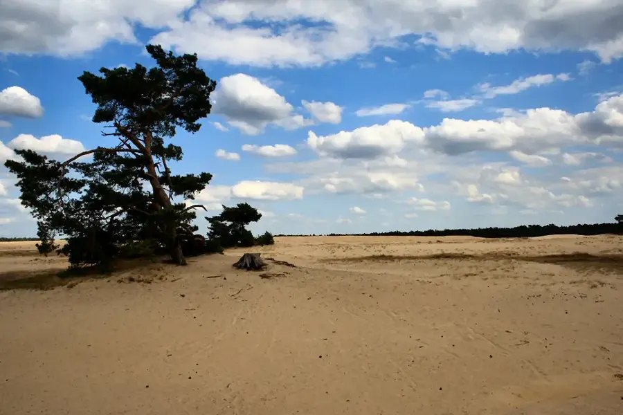
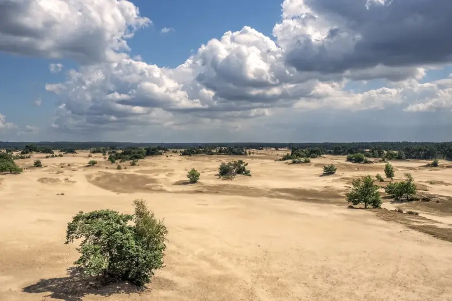
The Lunterse Zand is an impressive drifting sand landscape in the heart of the Veluwe in the province of Gelderland. This relief formation resulted from overgrazing and the removal of vegetation cover in the Middle Ages, which exposed the underlying Pleistocene sand and shaped it into dunes through wind action. The landscape is characterized by wide, open sand areas surrounded by heather and scattered pine forests. Historically, the shifting dunes posed a threat to surrounding villages, leading to massive reforestation efforts in the 19th century to stabilize the sand. Today, the area is a protected nature reserve that houses rare specialized animal species such as the sand lizard and various solitary bees. The prominent height differences of the dunes offer hikers challenging terrain and unique insights into a dynamic ecosystem.
- Location: Gelderland, Netherlands
- Top sights: De Koepel · Luntersche Buurtbosch · Dennenhorst
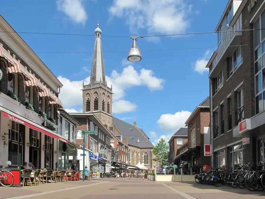
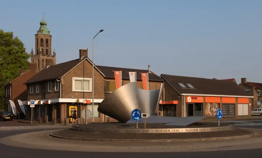
- Nearby: Ede (6 km)
Best time to visit & climate
The most pleasant time to visit is Jun–Aug.
| Jan | Feb | Mar | Apr | May | Jun | Jul | Aug | Sep | Oct | Nov | Dec | |
|---|---|---|---|---|---|---|---|---|---|---|---|---|
| Avg °C | 2 | 3 | 6 | 10 | 13 | 16 | 18 | 18 | 15 | 11 | 6 | 3 |
| Rain mm | 75 | 63 | 56 | 39 | 60 | 62 | 81 | 82 | 60 | 67 | 70 | 78 |
📋 Practical info
Geography
Facts
- The Lunterse Zand area extends over an area of approximately 100 hectares.
- The drifting sand formation reached its peak in the 18th and early 19th centuries.
- The subsoil consists of Pleistocene river sands from the proto-Rhine systems.
- The geographic center of the Netherlands is located nearby on the Lunterse Berg.
- The highest dune in the area rises about 10-15 meters above the surrounding land.
- Reforestation programs began around 1890 to stop the sanding over of farmland.
Explore nearby
Notable places around
Route planner — Car & Motorhome
Where do you start? We build the route here, with stops and country notes along the way.
© OpenStreetMap contributors · OpenRouteService
Sights in the town Lunteren Sand Hill (10)
Klein Dennenhorst
Small wooded area near Dennenhorst.
Muur van Mussert
Ruins of a wall, former NSDAP monument.
Hessenhut
Viewpoint on the Goudsberg with views over the area.
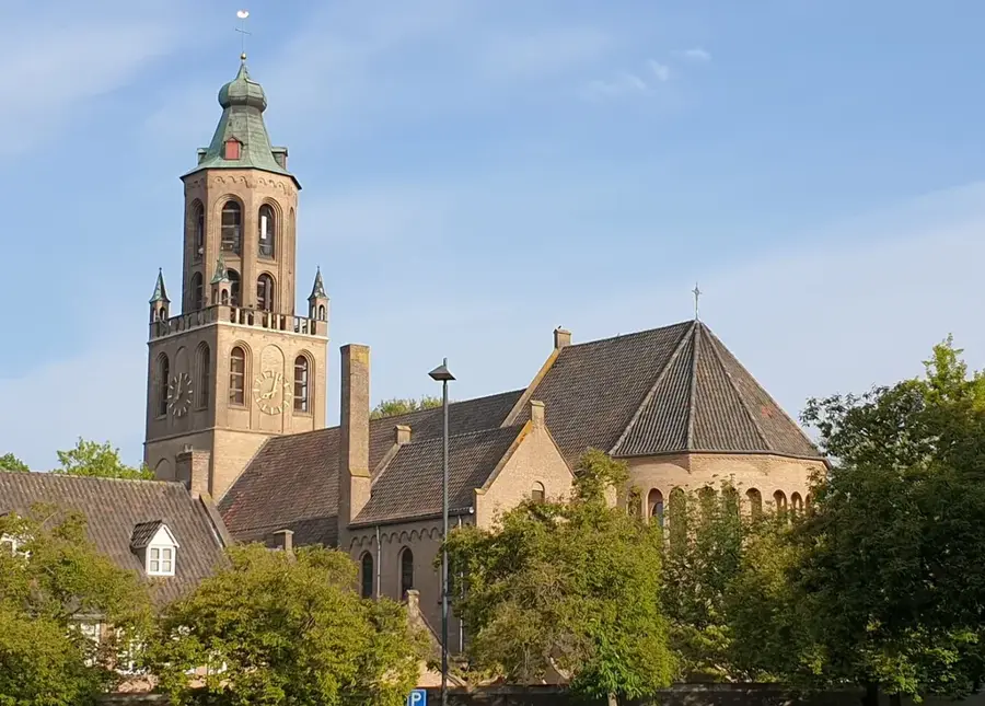
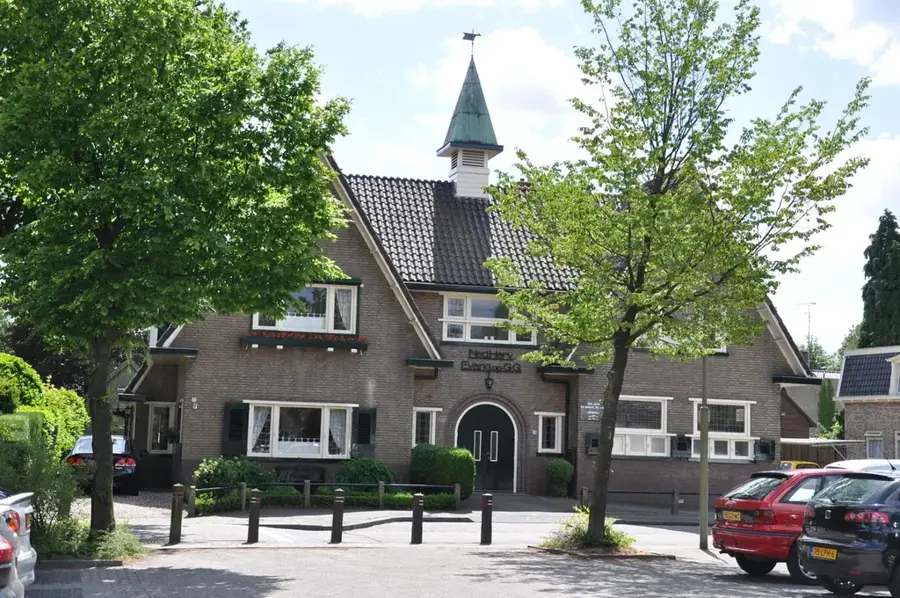
Oude Kerk
Church building in Lunteren, medieval in origin.
Middelpunt van Nederland
Viewpoint marking the geographical centre of the Netherlands.
Museum Lunteren🏛 museum
Museum in the Netherlands about local history.
Sights nearby
Frequently asked questions
What is the Wekeromse Zand?
How tiring is walking in the sand?
Is there shade?
Can you see mouflons here?
How is the parking situation?
Lunteren Sand Hill: where is it located?
Lunteren Sand Hill: what is there to see?
Lunteren Sand Hill: when is the best time to visit?
Lunteren Sand Hill: why is it worth visiting?

Nearby cities
History & landmarks


Nature
More places