Plizio Visual Lab
Oosterbeek Hill

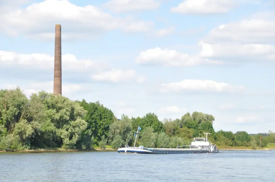
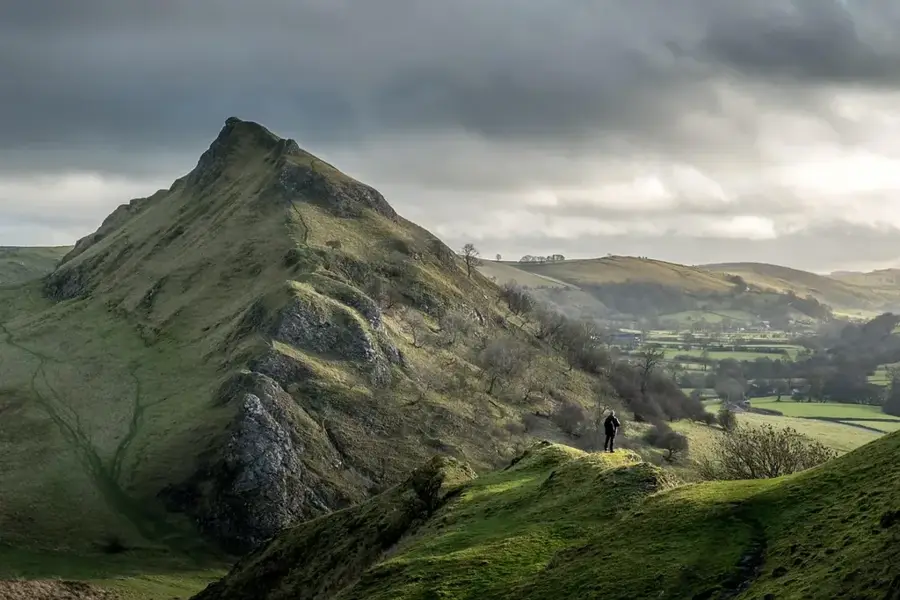
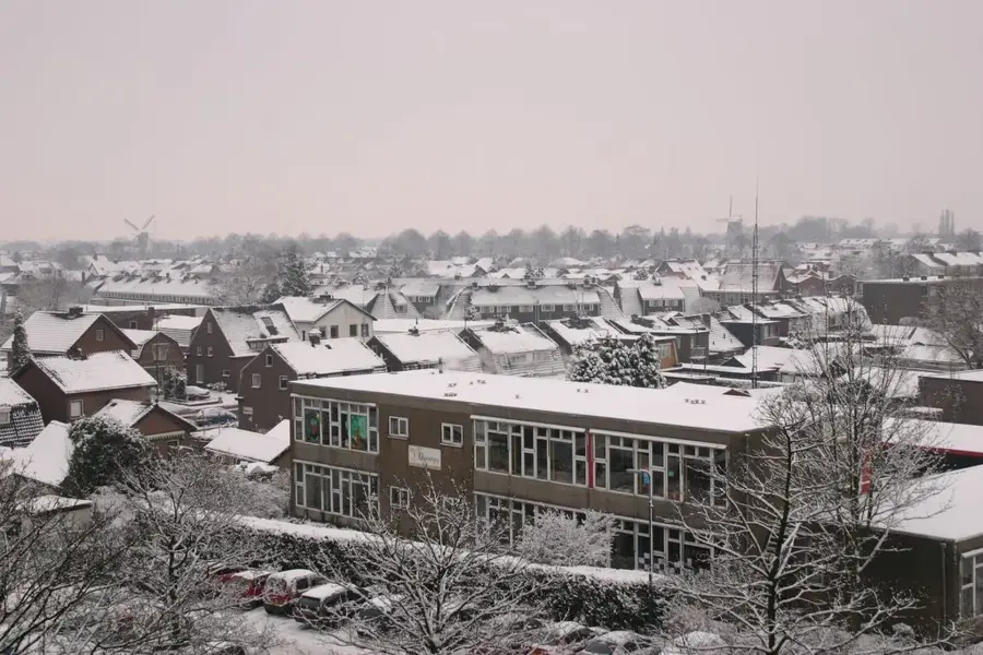
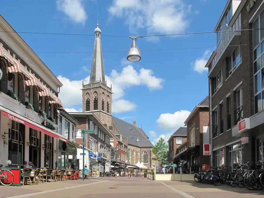
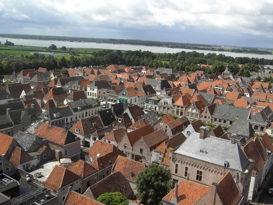
The Oosterbeek Hill is part of the Veluwezoom moraine ridge in the province of Gelderland. Geologically, this hill was formed during the Saale glaciation about 150,000 years ago, when advancing glaciers pushed the soil into high ridges. Its strategic location on the northern bank of the Lower Rhine made the hill historically significant, especially during Operation Market Garden in World War II. In September 1944, Oosterbeek was the scene of fierce fighting between Allied paratroopers and German troops, making the site an important memorial location. Today, the elevation is characterized by dense forests, stately estates, and viewpoints such as the Westerbouwing. The combination of natural beauty and tragic war history makes the hill a significant cultural and ecological destination in the eastern Netherlands.
- Location: Gelderland, Netherlands
- Top sights: Pietersberg · Landgoed de Hemelse Berg · Hertenkamp Hartenstein
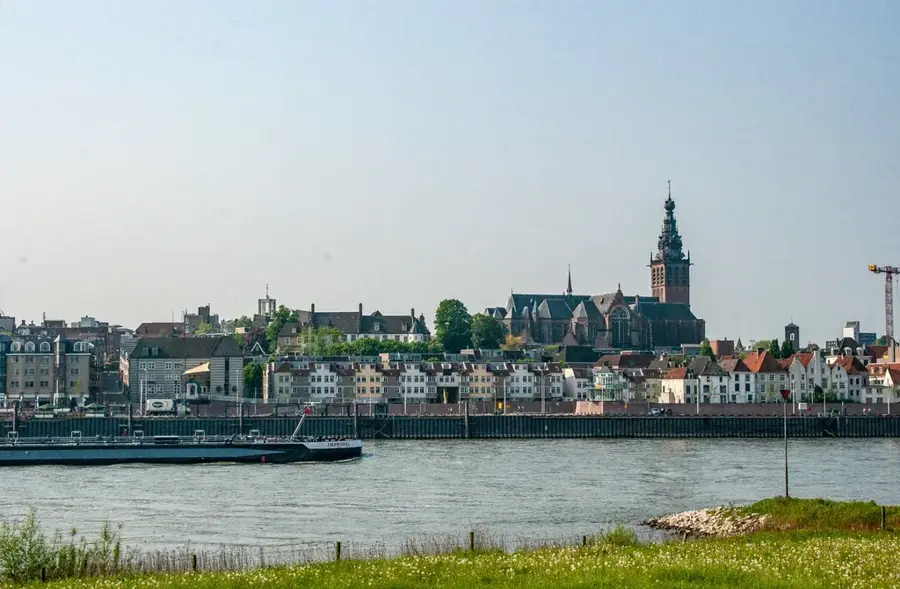
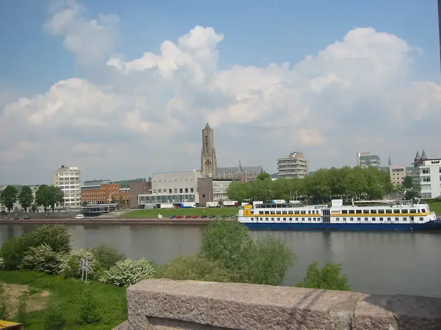
- Nearby: Arnhem (4 km)
Best time to visit & climate
The most pleasant time to visit is Jun–Aug.
| Jan | Feb | Mar | Apr | May | Jun | Jul | Aug | Sep | Oct | Nov | Dec | |
|---|---|---|---|---|---|---|---|---|---|---|---|---|
| Avg °C | 2 | 3 | 5 | 10 | 13 | 17 | 19 | 18 | 15 | 11 | 6 | 3 |
| Rain mm | 74 | 60 | 55 | 39 | 59 | 59 | 77 | 80 | 58 | 64 | 68 | 76 |
📋 Practical info
Geography
Facts
- The hill was formed during the Saale glaciation approximately 150,000 years ago.
- The Westerbouwing viewpoint sits about 30 meters above the water level of the Rhine.
- In September 1944, the headquarters of the British 1st Airborne Division was located here.
- The region belongs to the oldest national park in the Netherlands, the Veluwezoom.
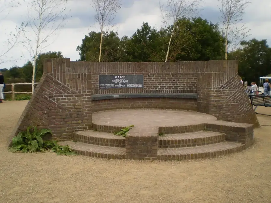
- The nearby Airborne Cemetery houses over 1,750 war graves.
- The soils consist mainly of glacial sands and gravel deposits.
Explore nearby
Notable places around
Route planner — Car & Motorhome
Where do you start? We build the route here, with stops and country notes along the way.
© OpenStreetMap contributors · OpenRouteService
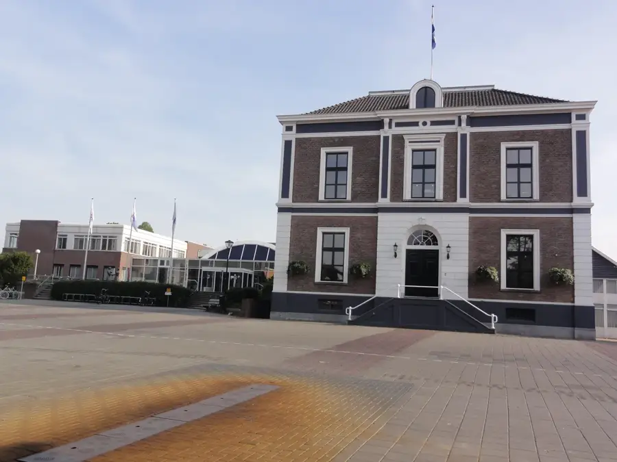
Sights in the town Oosterbeek Hill (10)
Airborne Museum 'Hartenstein'🏛 museum
Museum in Oosterbeek about the 1944 Battle of Arnhem.
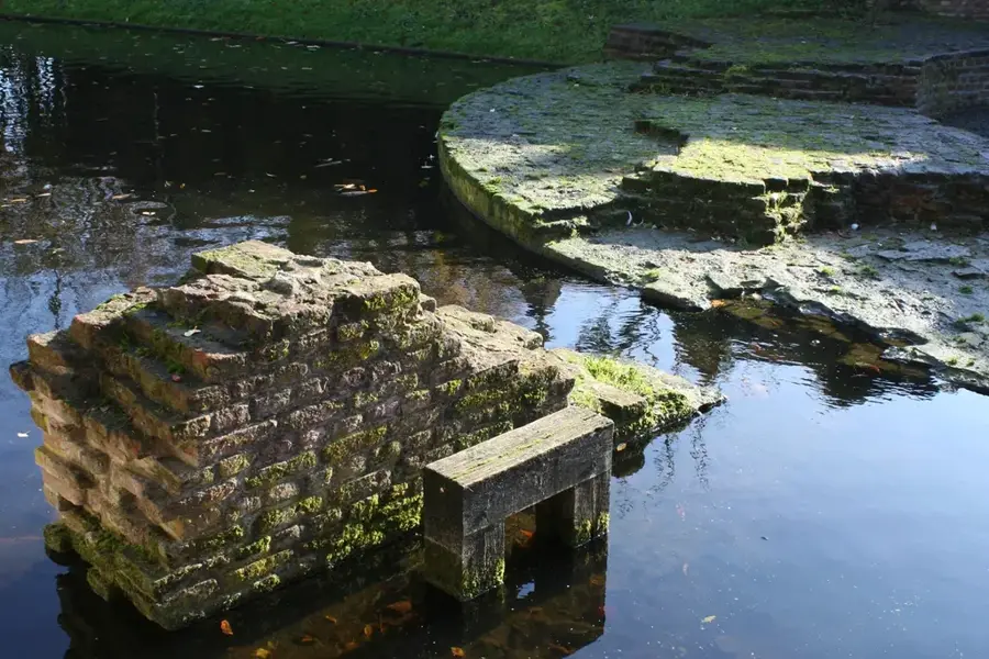
Heemtuin de Zomp
Natural garden with native plants and ponds in Oosterbeek.
Concertzaal Oosterbeek
Concert hall in Oosterbeek for classical and modern music.
Oude Kerk
Church building in Oosterbeek, medieval in origin.
Bato's Wijk🌳 park
Park in the Netherlands, laid out in English landscape style.
Bernulphuskerk
Church building in the Netherlands, a neo-Gothic brick church.
Sights nearby
Frequently asked questions
What is the historical significance of the hill?
Is there a museum nearby?
Is the hill difficult to climb?
Can you have a picnic here?
Are the paths accessible?
Oosterbeek Hill: where is it located?
Oosterbeek Hill: what is there to see?
Oosterbeek Hill: when is the best time to visit?
Oosterbeek Hill: why is it worth visiting?

Nearby cities
History & landmarks


Nature
More places