Plizio Visual Lab
Vojnik Range
Weather…
Water temperature…
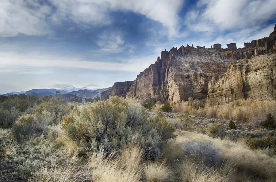
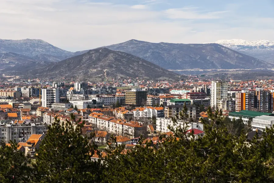
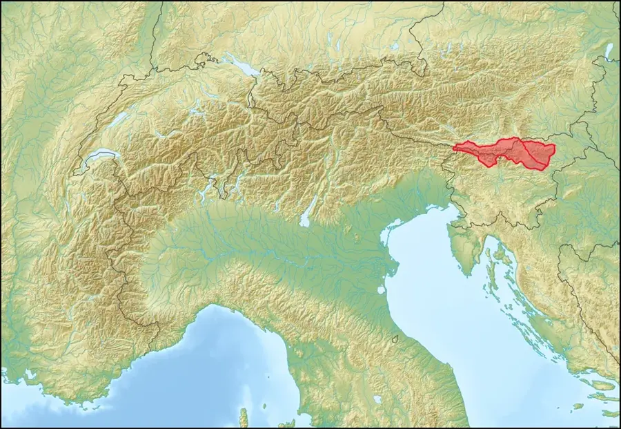
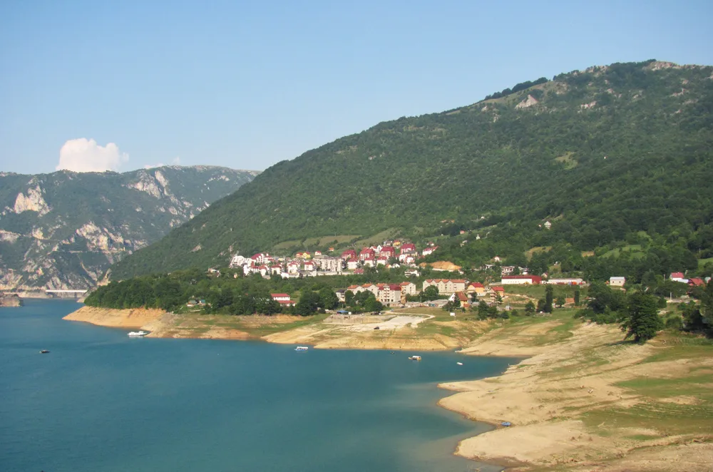
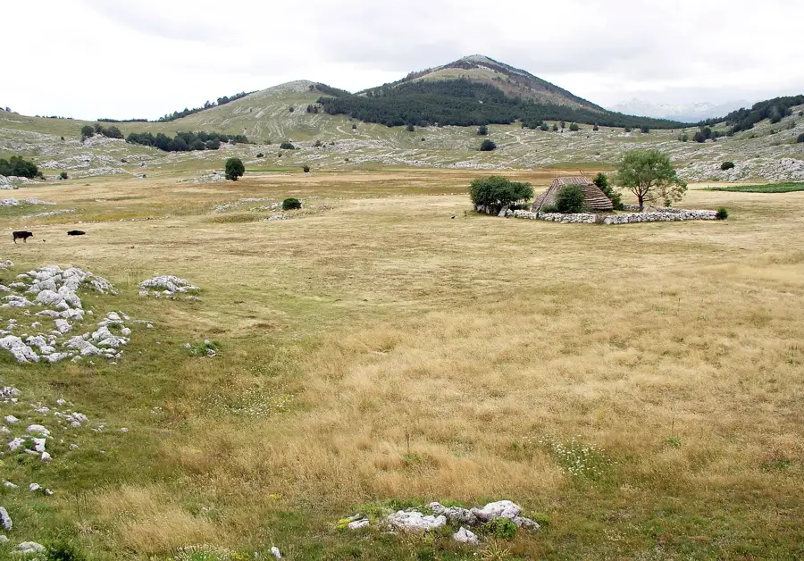
The Vojnik mountain range is an imposing limestone massif in north-central Montenegro, rising directly north of the city of Nikšić. Its highest peak reaches an elevation of 1998 meters, making Vojnik one of the most prominent mountains of the Dinaric Alps in this region. The geology of the range is characterized by extreme karst, with numerous deep shafts, caves, and rugged rock formations that often make access difficult. Dense beech forests are found in the lower elevations, while the summit region is marked by bare rocks and alpine meadows hosting a specific flora. Historically, the mountains served as a natural sanctuary and barrier during various wars, separating the Nikšić field from the Durmitor highlands. Today, Vojnik is a popular destination for mountaineers and hikers who appreciate untouched nature and challenging climbs. From the summit, clear weather has a magnificent view of the Nikšić lakes and the distant Maglić and Bioč massifs. The climate is harsh, with long-lasting snow cover that often remains in deep sinkholes until early summer.
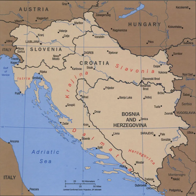
- Location: Montenegro
- Nearby: Šavnik (12 km)
Best time to visit & climate
The most pleasant time to visit is Jun–Aug.
| Jan | Feb | Mar | Apr | May | Jun | Jul | Aug | Sep | Oct | Nov | Dec | |
|---|---|---|---|---|---|---|---|---|---|---|---|---|
| Avg °C | -2 | -1 | 2 | 7 | 11 | 15 | 18 | 18 | 13 | 9 | 4 | -1 |
| Rain mm | 134 | 131 | 121 | 93 | 89 | 83 | 52 | 49 | 104 | 124 | 162 | 152 |
📋 Practical info
Geography
Facts
- The highest peak is at 1998 meters.
- Composed of massive Triassic limestone.
- Separates Nikšić from the Durmitor area.
- Rich in vertical caves and shafts.
- Important hiking area without mass tourism.
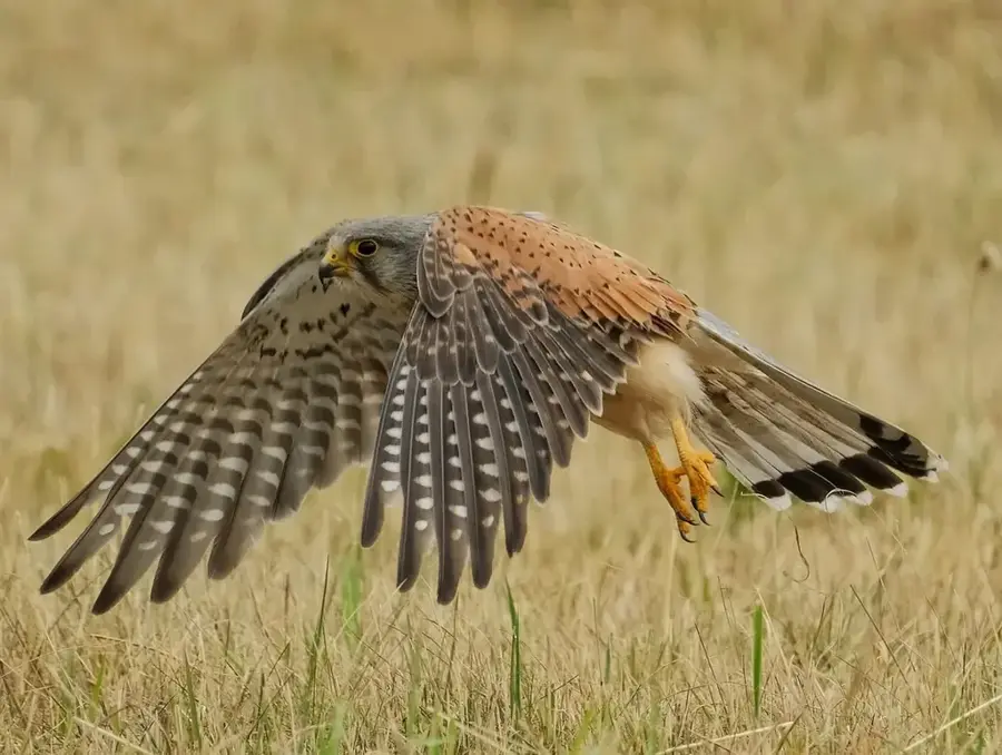
- Home to rare alpine plant species.
Explore nearby
Notable places around
Route planner — Car & Motorhome
Where do you start? We build the route here, with stops and country notes along the way.
© OpenStreetMap contributors · OpenRouteService
Sights in the town Vojnik Range (1)
Sights nearby
Frequently asked questions
Where is the Vojnik range located?
What does the name Vojnik mean?
How high is the highest peak of Vojnik?
Is the range forested?
When should you hike in Vojnik?
Vojnik Range: where is it located?
Vojnik Range: when is the best time to visit?
Vojnik Range: why is it worth visiting?

Nearby cities


History & landmarks

Nature


More places