Plizio Visual Lab
Budos Range

Weather…
Water temperature…
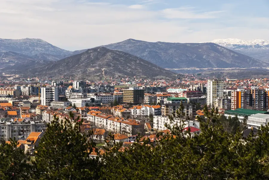
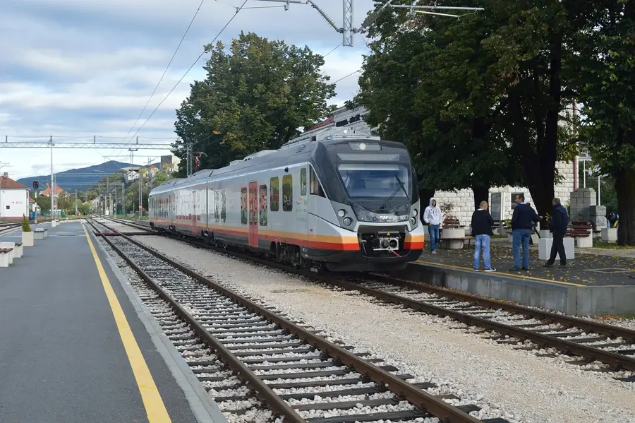
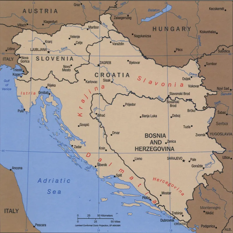
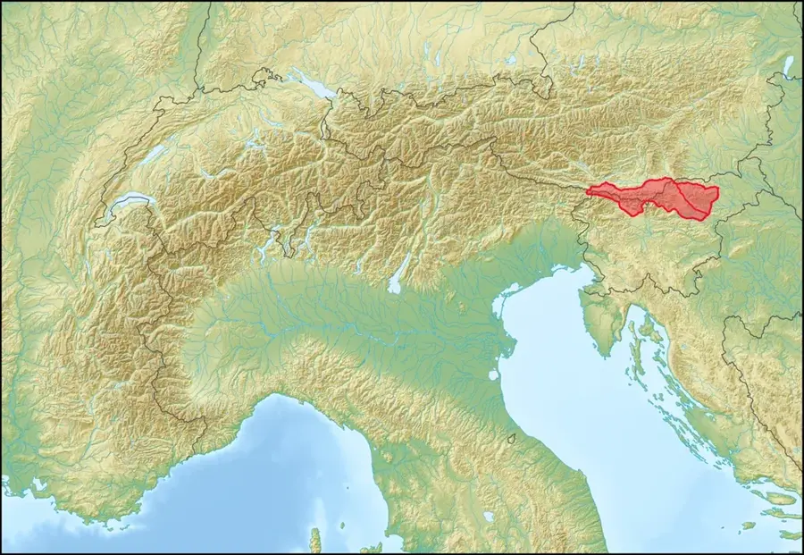
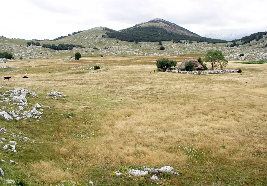
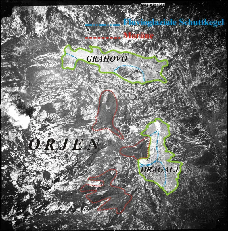
The Budos Range is a prominent mountain ridge in central Montenegro, situated south of the Nikšić field and forming a natural border toward the Zeta valley. With its rugged limestone cliffs and a moderate elevation of about 1200 meters, it is a defining element of the regional topography. The range is best known for the Budos Tunnel, a strategically important bottleneck on the main road connecting the capital Podgorica with the north of the country. Geologically, the ridge belongs to the outer Dinaric karst belt, featuring typical erosion forms and sparse but resilient vegetation. Historically, Budos was often the site of military conflicts as it controls access to the strategically vital Nikšić basin. Today, the mountain slopes offer interesting routes for mountain bikers and hikers, who can enjoy sweeping views over the Nikšić field and surrounding high mountains from the ridges. Despite intensive use as a transport corridor, the range has preserved its wild character with deep rock crevices and lonely high plateaus.
- Location: Montenegro
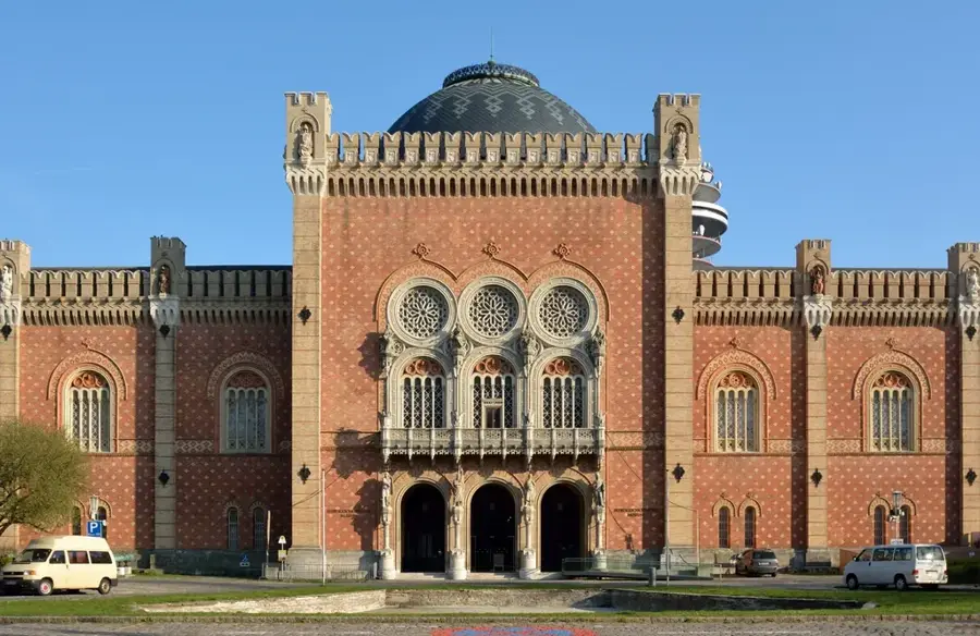
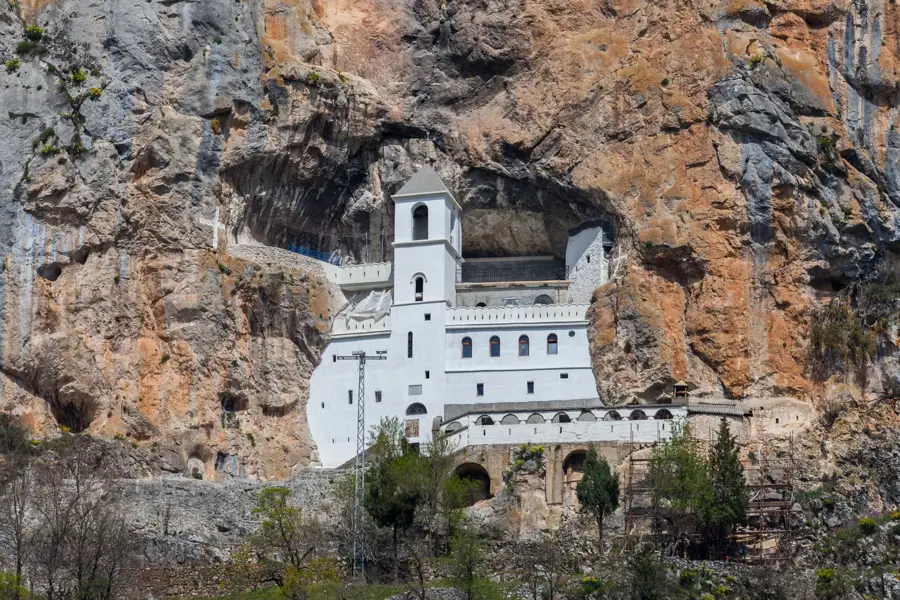
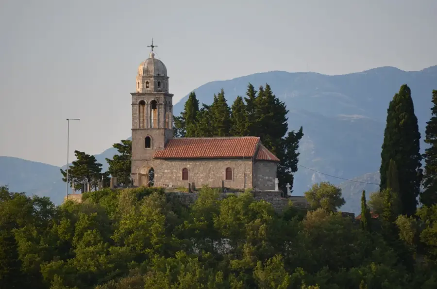
- Top sights: Laz, Nikšić · Dragovoljići · Ozrinići
- Nearby: Župa Region (8 km)
Best time to visit & climate
The most pleasant time to visit is Jun–Aug.
| Jan | Feb | Mar | Apr | May | Jun | Jul | Aug | Sep | Oct | Nov | Dec | |
|---|---|---|---|---|---|---|---|---|---|---|---|---|
| Avg °C | -2 | -1 | 2 | 7 | 11 | 15 | 18 | 18 | 13 | 9 | 4 | -1 |
| Rain mm | 134 | 131 | 121 | 93 | 89 | 83 | 52 | 49 | 104 | 124 | 162 | 152 |
📋 Practical info
Geography
Facts
- The main road tunnel is 1215 meters long.
- Highest point is at approximately 1200 meters.
- Separates the Nikšić field from the Zeta valley.
- Composed of Mesozoic karst limestone.
- Strategic barrier during the Ottoman wars.
- Popular for paragliding and cycling.
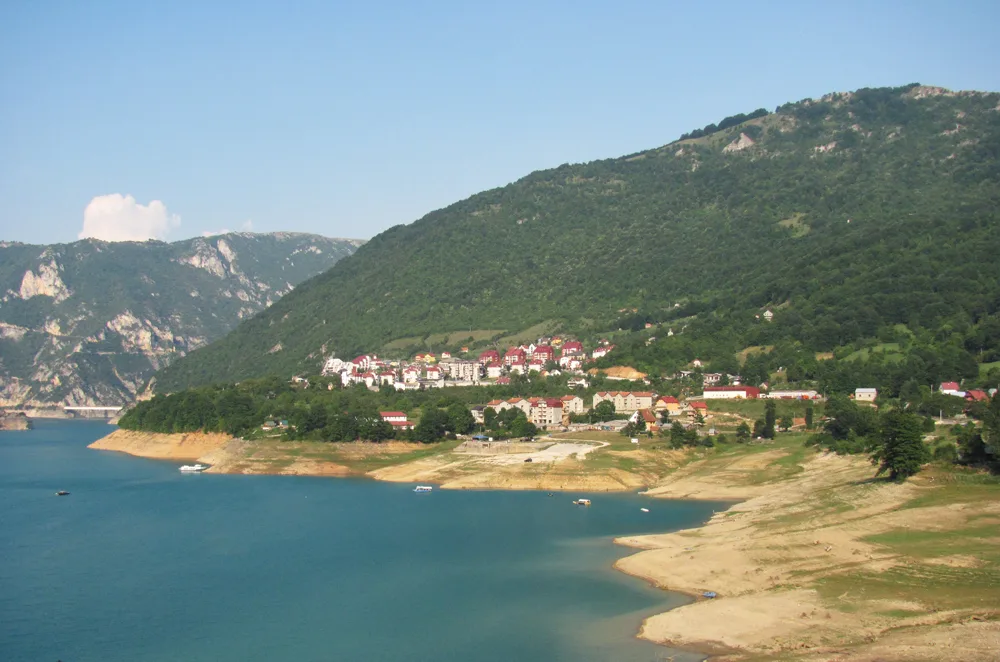
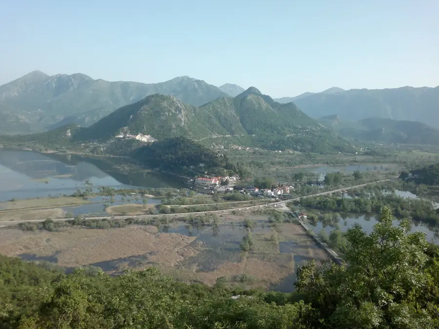
Explore nearby
Notable places around
Route planner — Car & Motorhome
Where do you start? We build the route here, with stops and country notes along the way.
© OpenStreetMap contributors · OpenRouteService
Sights in the town Budos Range (3)
Sights nearby
Frequently asked questions
Where is the Budoš range located?
What is the Budoš tunnel?
Can you hike on Budoš?
How high is the Budoš range?
What vegetation is found there?
Budos Range: where is it located?
Budos Range: what is there to see?
Budos Range: when is the best time to visit?
Budos Range: why is it worth visiting?

Nearby cities


History & landmarks

Nature


More places