Plizio Visual Lab
Vjeternik Natural Area

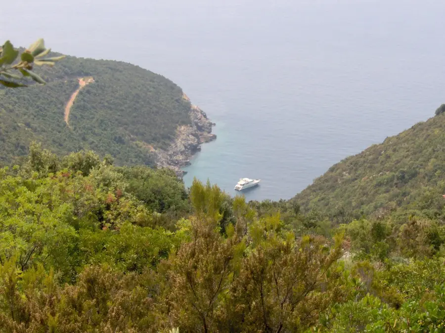
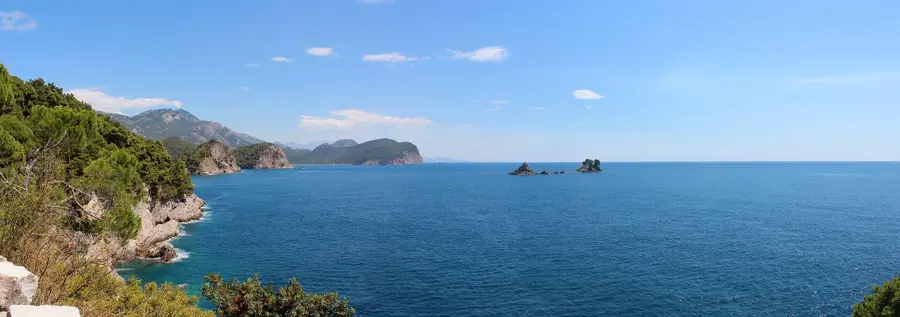
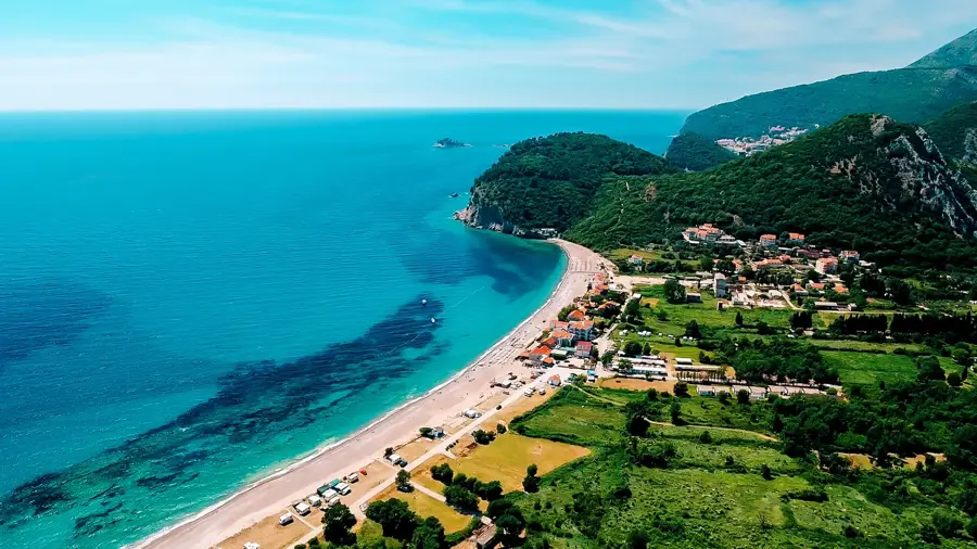
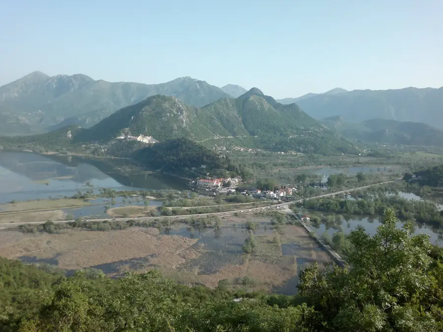
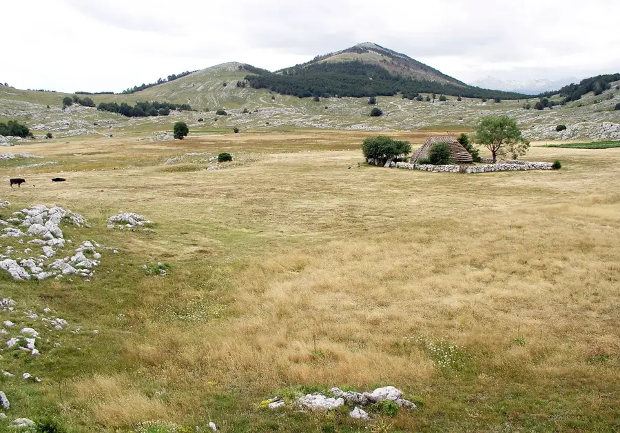
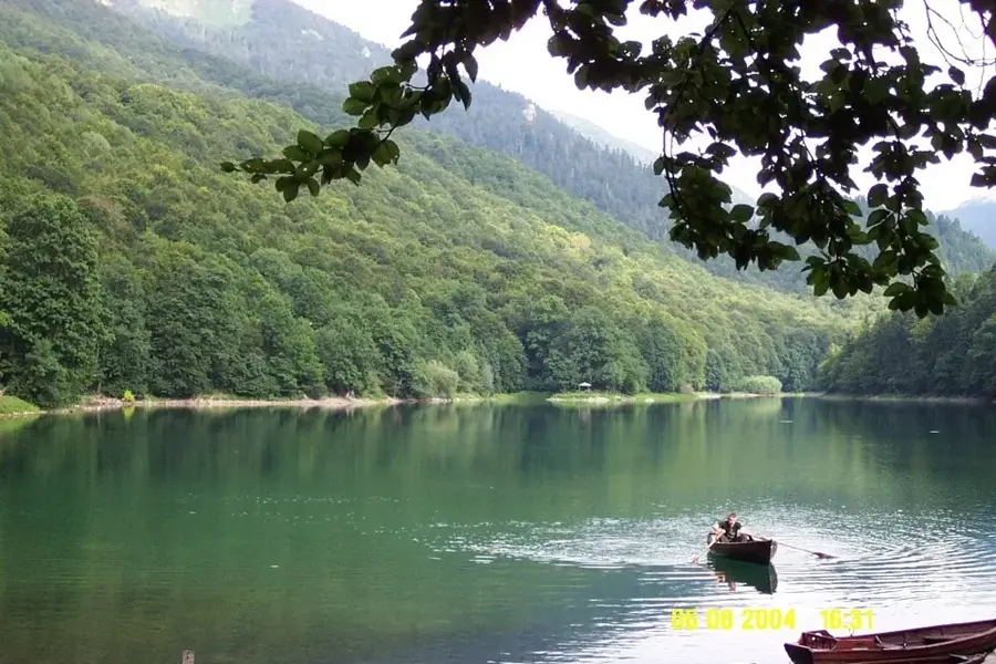
The Vjeternik natural area is centered around the prominent peak of the same name near Pelev Brijeg, renowned for its windswept ridges and strategic geographical position. Its name, derived from the local word for wind ('vjetar'), reflects the constant atmospheric currents that shape its rugged karst landscape and high-altitude plateaus. Historically, Vjeternik served as a crucial pass on the ancient route connecting Podgorica with the northern highlands of Montenegro, marked by remnants of old stone paths and defensive structures. Ecologically, the area is a significant transition zone where sub-Mediterranean influences meet alpine climates, resulting in a rich mosaic of grasslands and hardy shrubs. It provides a sanctuary for various birds of prey, including the golden eagle, and hosts numerous endemic insect species adapted to the rocky terrain. Offering sweeping panoramic views of the Morača mountains and the Komovi massif, Vjeternik remains an important site for both geological study and wilderness exploration, largely preserved from modern development.
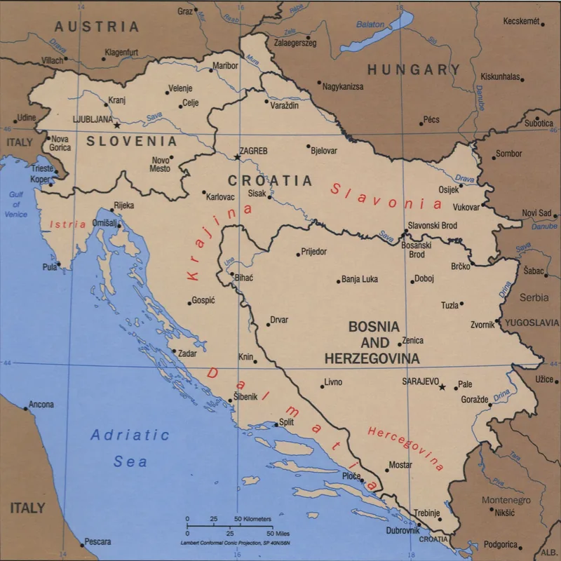
- Location: Montenegro
- Nearby: Danilovgrad Municipality (8 km)
Best time to visit & climate
The most pleasant time to visit is Jun–Aug.
| Jan | Feb | Mar | Apr | May | Jun | Jul | Aug | Sep | Oct | Nov | Dec | |
|---|---|---|---|---|---|---|---|---|---|---|---|---|
| Avg °C | 4 | 5 | 8 | 12 | 16 | 20 | 24 | 24 | 19 | 14 | 10 | 6 |
| Rain mm | 156 | 152 | 138 | 103 | 89 | 67 | 42 | 43 | 116 | 138 | 187 | 178 |
📋 Practical info
Geography
Facts
- Named after the Montenegrin word for wind, 'vjetar'.
- Historically served as a key mountain pass to the north.
- Provides sweeping views of the Morača and Komovi mountains.
- Notable habitat for the golden eagle and other raptors.
- The terrain features extensive karst limestone formations.
- Acts as a climatic bridge between coastal and alpine regions.
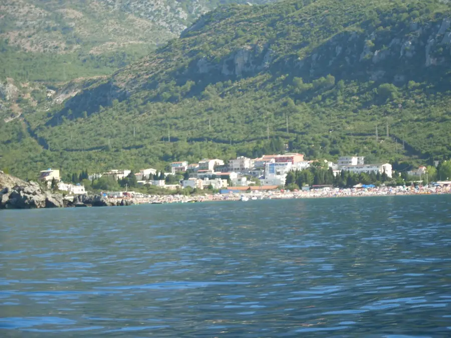
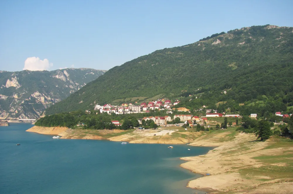
Explore nearby
Notable places around
Route planner — Car & Motorhome
Where do you start? We build the route here, with stops and country notes along the way.
© OpenStreetMap contributors · OpenRouteService
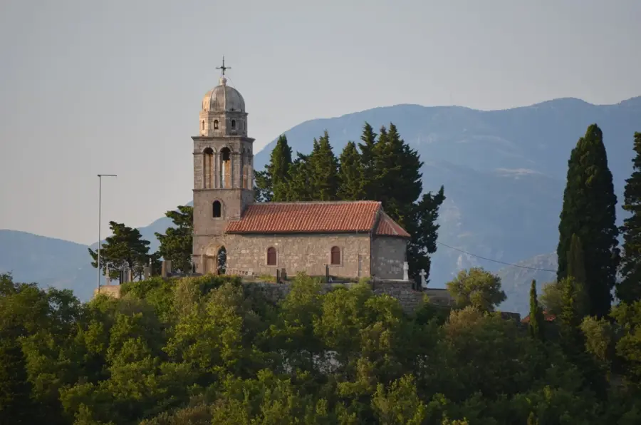
Sights nearby
Frequently asked questions
How high is Vjeternik Peak?
Where does the mountain get its name from?
What does the view from Vjeternik offer?
Is the climb difficult?
Are there places to eat there?
Vjeternik Natural Area: where is it located?
Vjeternik Natural Area: when is the best time to visit?
Vjeternik Natural Area: why is it worth visiting?

Nearby cities


History & landmarks

Nature
More places