Plizio Visual Lab
Hodh Depression

Weather…
Water temperature…
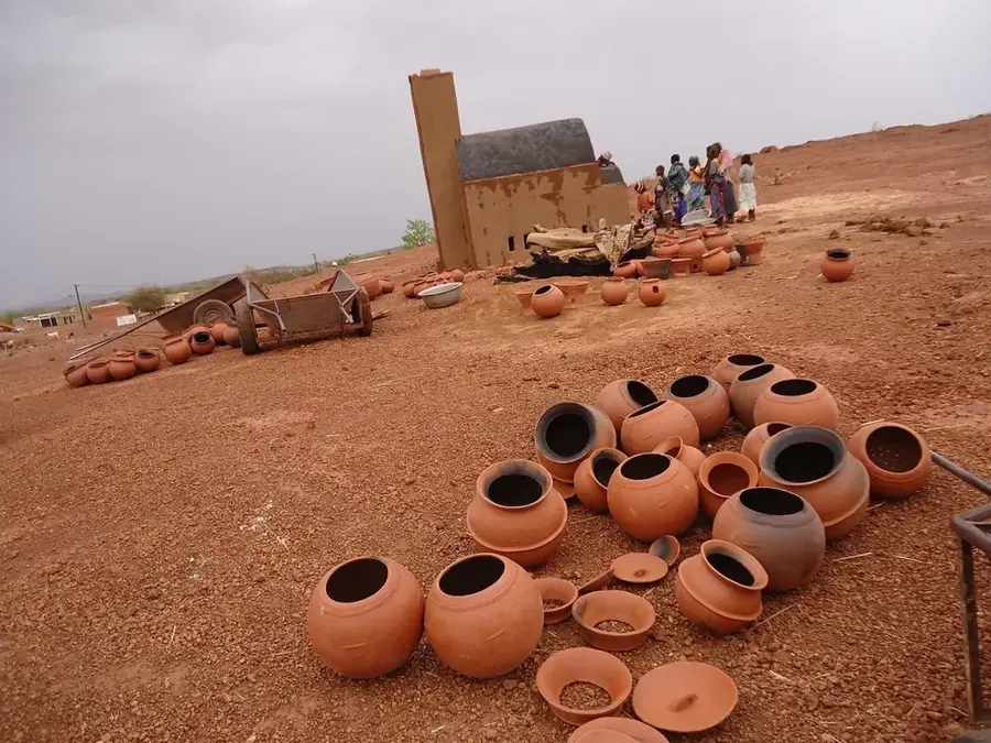
The Hodh Depression is a vast basin located in the border region between southeastern Mauritania and western Mali. Geographically, it forms one of the lowest zones of the Taoudeni Basin and is characterized by wide, flat plains and gentle dune ridges. In Earth's geological history, this area was once a massive inland sea, evidenced today by extensive salt pans and fossilized corals. Historically, the depression was a central hub of the trans-Saharan trade, with cities like Oualata on its fringes flourishing as brilliant centers of scholarship and commerce. The modern landscape is extremely arid, with vegetation restricted to hardy thorn bushes and rare grasses that sprout briefly after sparse summer rains. Despite its inhospitability, the depression remains a vital area for seasonal pastoralism for the region's nomadic communities. Climatic conditions are defined by extreme heat and frequent sandstorms that constantly reshape the depression's morphology.
Best time to visit & climate
The most pleasant time to visit is Jan, Feb, Dec.
| Jan | Feb | Mar | Apr | May | Jun | Jul | Aug | Sep | Oct | Nov | Dec | |
|---|---|---|---|---|---|---|---|---|---|---|---|---|
| Avg °C | 21 | 24 | 29 | 32 | 35 | 35 | 31 | 29 | 29 | 29 | 26 | 23 |
| Rain mm | 0 | 0 | 0 | 2 | 10 | 31 | 105 | 164 | 86 | 10 | 0 | 0 |
📋 Practical info
Geography
Facts
- The depression lies approximately 200 meters above sea level and is surrounded by higher plateaus.
- It covers an area of several tens of thousands of square kilometers.
- The name Hodh originates from Arabic, meaning 'basin' or 'trough'.
- Geologically, the floor consists of thick layers of marine sediments.
- The annual evaporation rate exceeds precipitation by more than tenfold.
- Significant archaeological sites of the Tichitt culture are located within the depression.
Explore nearby
Notable places around
Route planner — Car & Motorhome
Where do you start? We build the route here, with stops and country notes along the way.
© OpenStreetMap contributors · OpenRouteService
Sights nearby
Frequently asked questions
Can you visit Hodh-Senke?
Are there fixed paths?
What is the charm of the region?
Are signal dead zones to be expected?
What is the climate like?
Hodh Depression: where is it located?
Hodh Depression: when is the best time to visit?
Hodh Depression: why is it worth visiting?

Nearby cities


History & landmarks
More places