Plizio Visual Lab
Nema Fort

Weather…
Water temperature…
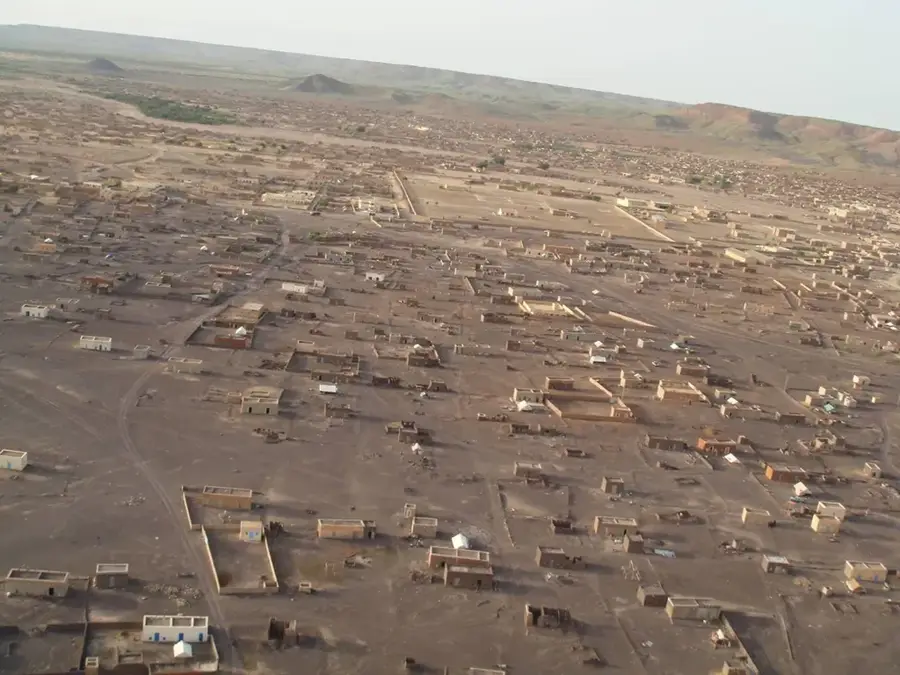
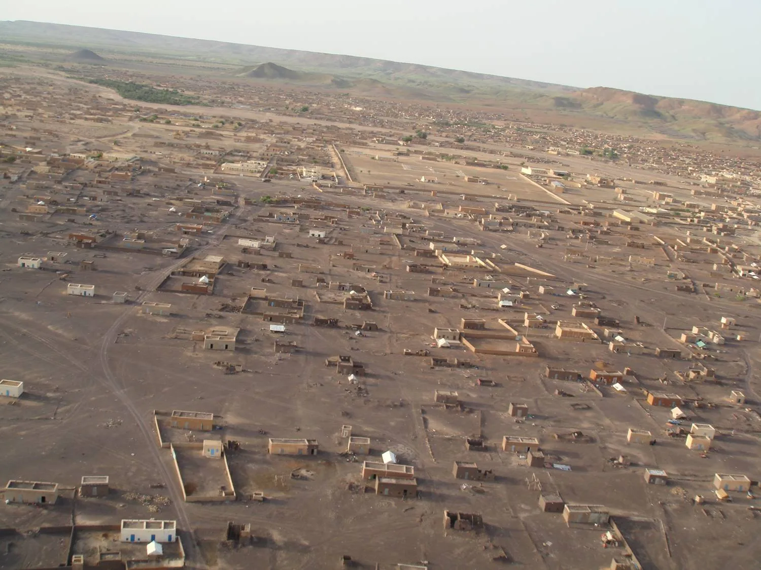
Nema Fort is a compelling historical site located in the eastern region of Mauritania, representing the strategic importance of the city throughout the centuries. Situated as a vital link on the ancient trans-Saharan caravan routes, Nema was a major trading hub where goods from the desert met products from the more fertile southern regions. The remains of the fort testify to its defensive role, protecting merchants and local residents from Saharan raids. The architecture is characteristic of the Sahelian style, utilizing locally sourced stone and clay to create durable structures capable of withstanding the harsh desert environment. Today, Nema remains the capital of the Hodh Ech Chargui region, and the fort stands as a silent witness to its glorious past as a center of commerce and regional power. Visiting the site provides a deep insight into the nomadic history and the resilient urban culture of eastern Mauritania.
- Location: Mauritania
- Nearby: Oualata-Est (80 km)
Best time to visit & climate
The most pleasant time to visit is Jan, Feb, Dec.
| Jan | Feb | Mar | Apr | May | Jun | Jul | Aug | Sep | Oct | Nov | Dec | |
|---|---|---|---|---|---|---|---|---|---|---|---|---|
| Avg °C | 20 | 23 | 27 | 31 | 34 | 35 | 32 | 29 | 29 | 29 | 25 | 21 |
| Rain mm | 0 | 1 | 1 | 1 | 9 | 21 | 83 | 137 | 65 | 8 | 0 | 0 |
📋 Practical info
Geography
Facts
- Built in 1910 during French colonial rule
- Wall thickness of approximately 1.5 meters
- Fort occupies an area of 0.5 hectares
- Used as a prison in the 1970s
- Restoration work ongoing since 2005
- Summer temperatures often exceed 45°C
Explore nearby
Notable places around
Route planner — Car & Motorhome
Where do you start? We build the route here, with stops and country notes along the way.
© OpenStreetMap contributors · OpenRouteService
Sights nearby
Frequently asked questions
What characterizes the Nema Fort?
Is Nema easy to reach?
When is the best time for a trip?
Is Nema safe for tourists?
Are there many attractions there?
Nema Fort: where is it located?
Nema Fort: when is the best time to visit?
Nema Fort: why is it worth visiting?

Nearby cities