Plizio Visual Lab
Vashafaru Mangroves
Weather…
Water temperature…
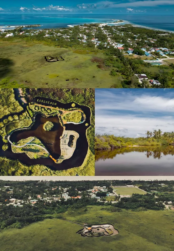
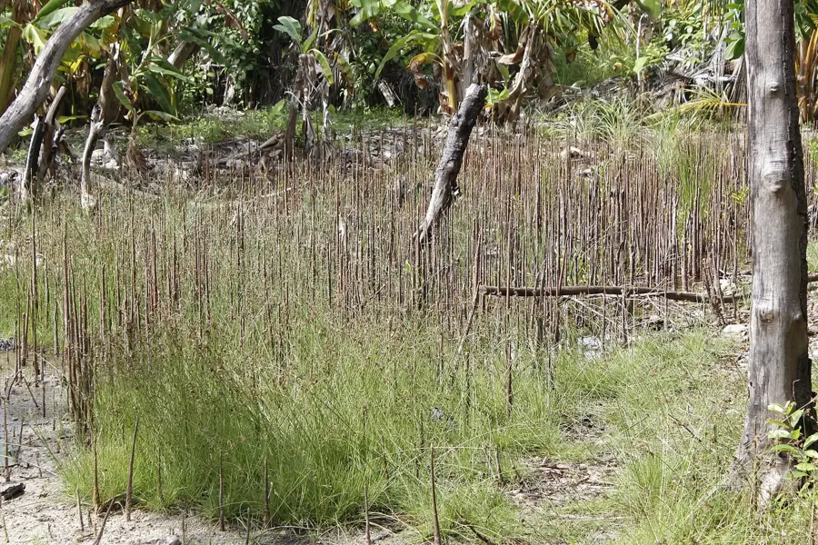
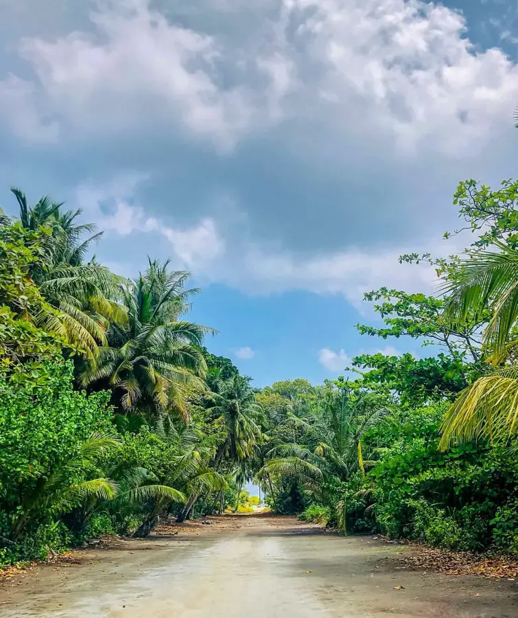
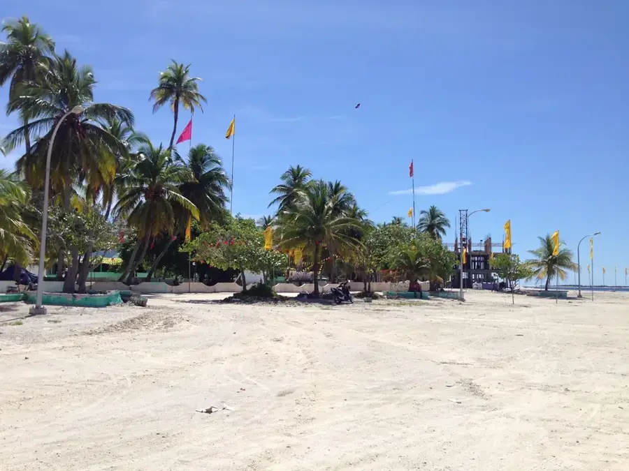
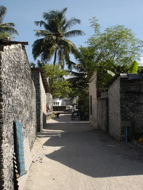
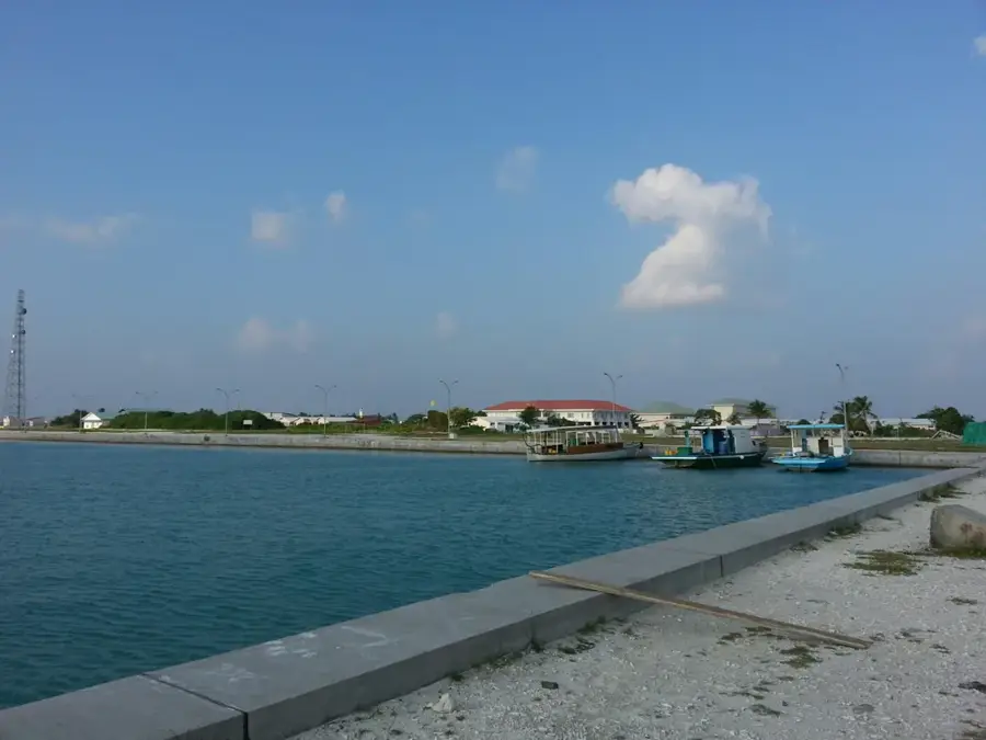
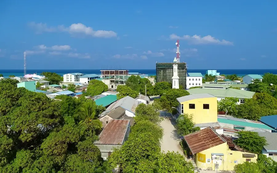
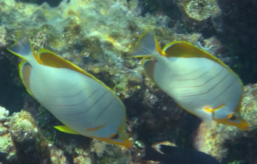
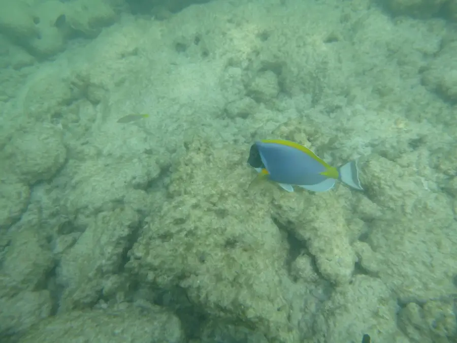
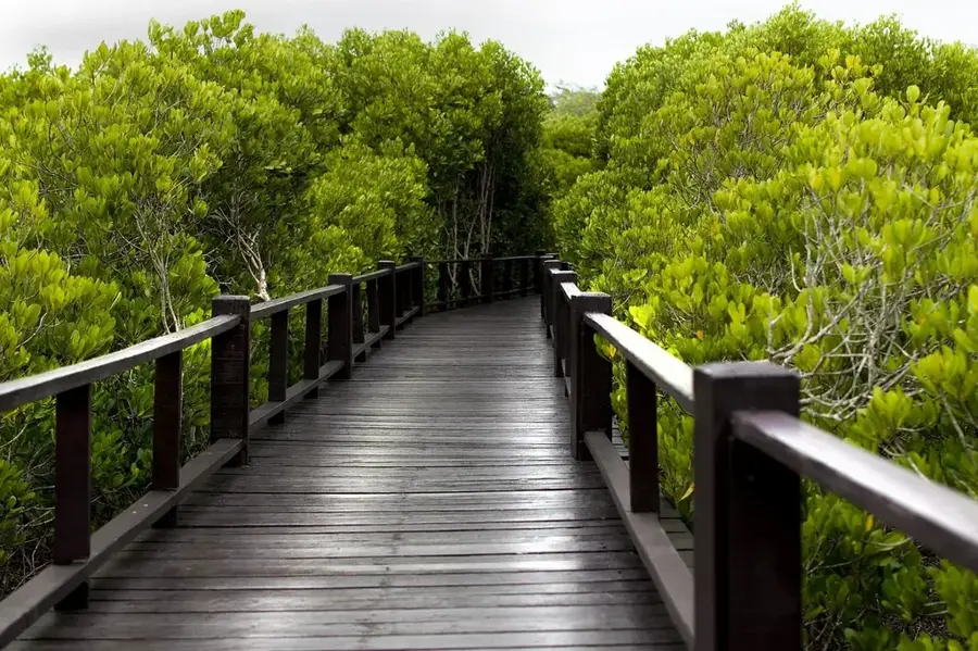
The mangroves of Vashafaru, located in Haa Alif Atoll, represent a vital terrestrial and limnetic ecosystem within the Maldives. These wetlands are characterized by specialized tree species such as Bruguiera cylindrica and Lumnitzera racemosa, which have adapted to high salinity and oxygen-poor soils. The mangrove system functions as a natural barrier against coastal erosion and plays a crucial role in carbon sequestration. Biologically, the area serves as a nursery for numerous reef fish species and provides sanctuary for endangered migratory birds. The brackish waters of the lagoon host a unique benthic community of crustaceans and mollusks. Historically, the local population used the mangroves sustainably; however, modern focus is on protecting these areas from the impacts of sea-level rise. Vashafaru stands as a prime example of the importance of wetlands for the environmental resilience of small island nations against global ecological shifts.
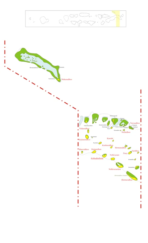
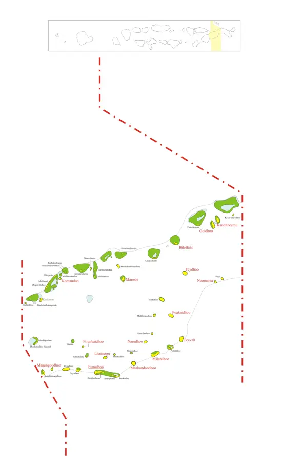
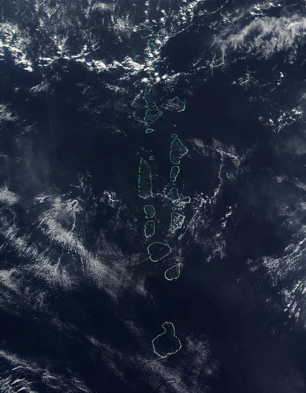
- Location: Maldives
- Top sights: Hukuru Miskiy · Kuda Miskiyy
- Nearby: Hanimaadhoo (7 km)
Best time to visit & climate
The most pleasant time to visit is Jan–Mar.
| Jan | Feb | Mar | Apr | May | Jun | Jul | Aug | Sep | Oct | Nov | Dec | |
|---|---|---|---|---|---|---|---|---|---|---|---|---|
| Avg °C | 27 | 27 | 28 | 29 | 29 | 29 | 28 | 28 | 28 | 28 | 28 | 28 |
| Rain mm | 29 | 23 | 35 | 68 | 180 | 207 | 182 | 165 | 146 | 152 | 157 | 102 |
📋 Practical info
Geography
Facts
- Located on the island of Vashafaru in Haa Alif Atoll.
- Dominant species include Bruguiera cylindrica and Lumnitzera racemosa.
- Acts as a critical nursery ground for juvenile reef fish.
- Important transit point for migratory bird species.
- Serves as a natural defense against coastal erosion.
- Plays a significant role in the local carbon sequestration process.
Explore nearby
Notable places around
Route planner — Car & Motorhome
Where do you start? We build the route here, with stops and country notes along the way.
© OpenStreetMap contributors · OpenRouteService
Sights in the town Vashafaru Mangroves (2)
Sights nearby
Frequently asked questions
What characterizes the mangroves?
Can one hike through the forests?
Are there many mosquitoes?
What is the best time of day?
Is it suitable for children?
Vashafaru Mangroves: where is it located?
Vashafaru Mangroves: what is there to see?
Vashafaru Mangroves: when is the best time to visit?
Vashafaru Mangroves: why is it worth visiting?

Nearby cities
History & landmarks

Nature


More places