Plizio Visual Lab
Antanifotsy
ℹ️Practical info — Antanifotsy
▾
🌤 Weather — 5 days
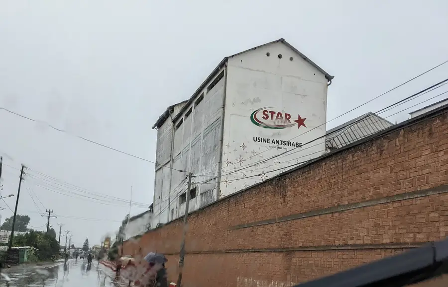
📍 Nearby
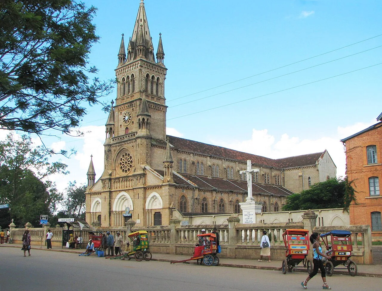
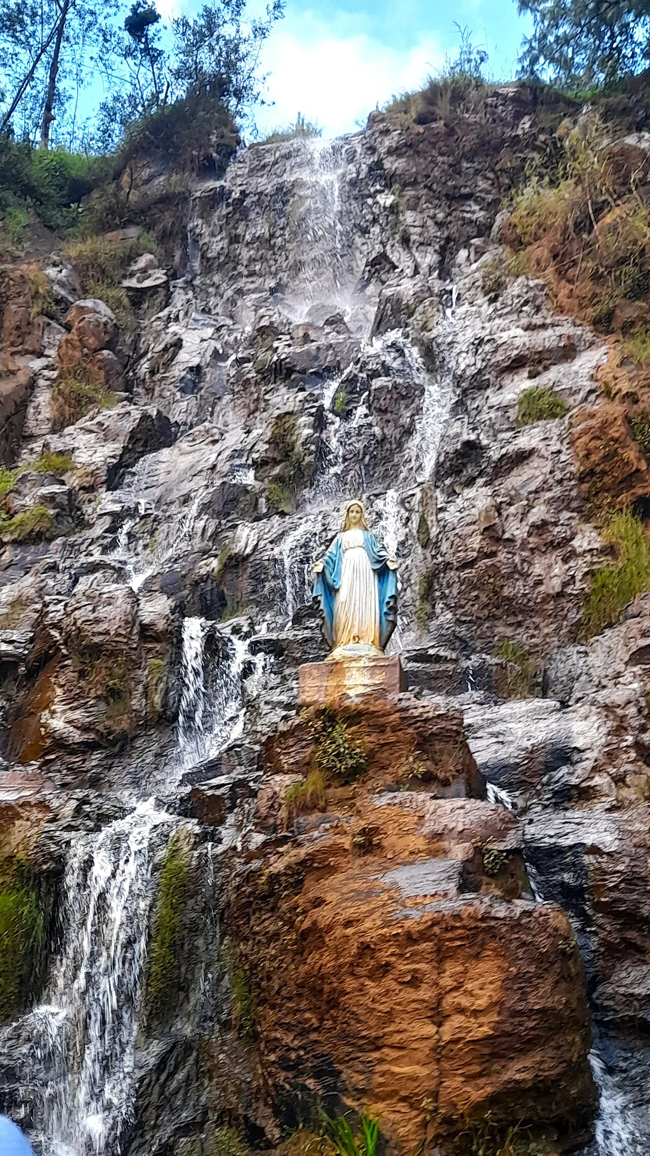
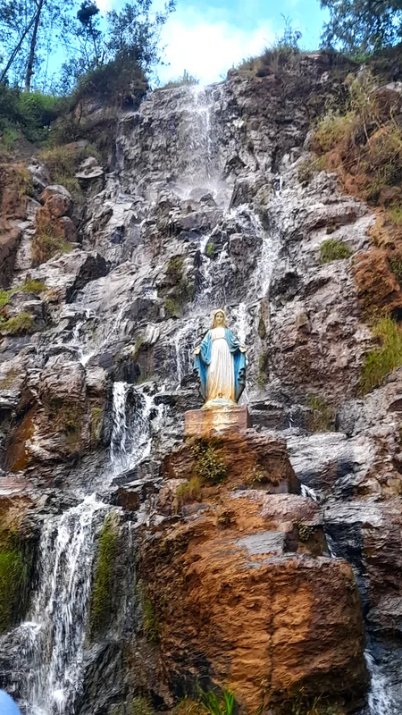
Sights nearby
💡 Tips
- This is an agricultural hub; visit early in the morning when the local market is bustling with activity.
- Roads outside the center can be muddy during the rainy season; a 4x4 vehicle is recommended.
- ATMs are scarce and may be empty. Bring enough cash (Ariary) from a larger city.
- Tourist infrastructure is very limited; learning a few basic words of Malagasy goes a long way.
🍽 Food
A traditional dish of rice cooked with leafy greens and sometimes meat, common at local hotelys.
A sweet treat made from ground peanuts, brown sugar, and rice flour wrapped in banana leaves.
Buy fresh tropical fruits and vegetables directly from the morning market.
🛍 Shopping · 🧘 Quiet spots
The heart of the town, best for local produce, spices, and everyday goods.
Look for simple raffia and wood items sold by artisans around the market area.
Take a walk outside the town center to see the beautiful terraced landscapes.
The rolling hills around the town offer peaceful hiking opportunities.
Water temperature…
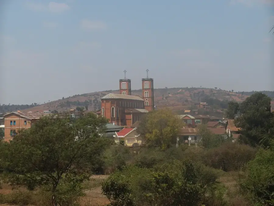
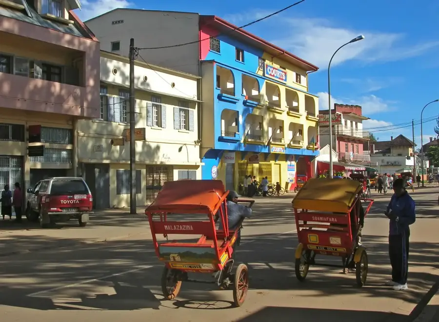
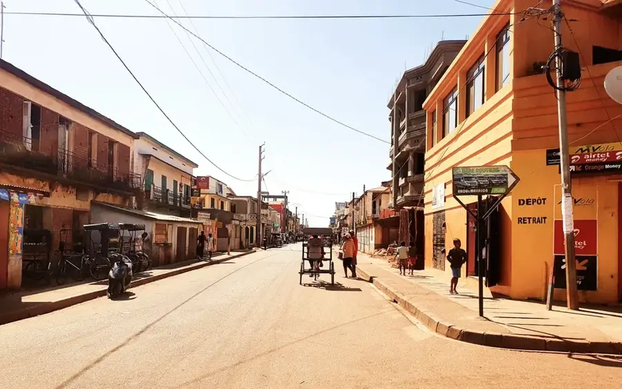
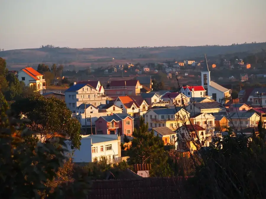
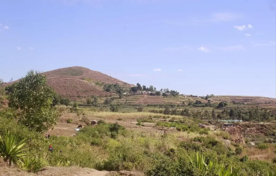
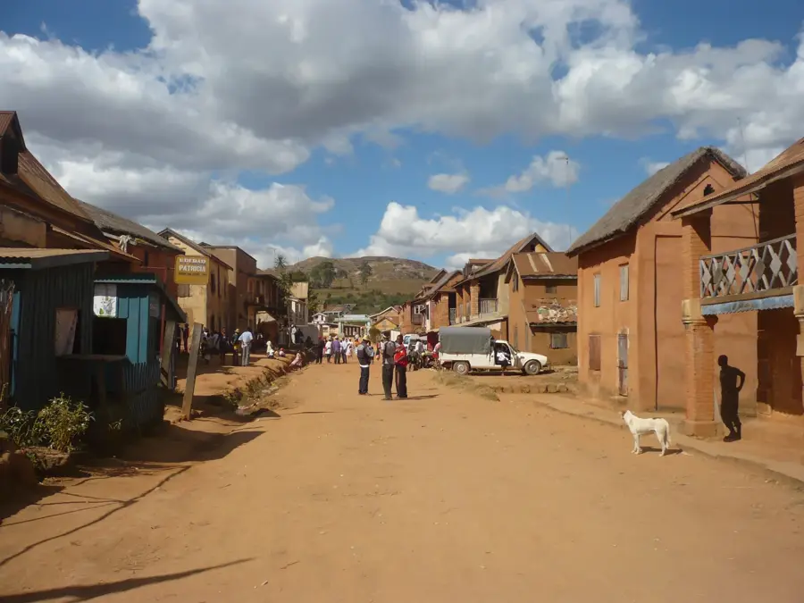
Antanifotsy, a significant town in the central highlands of Madagascar, is located within the Vakinankaratra region, south of the capital Antananarivo. The regional relief is characterized by the rolling hills and elevated plateaus typical of the central highlands, which are extensively used for terraced agriculture. Antanifotsy is recognized as one of the country's most vital agricultural producers, with the cultivation of rice, corn, and various vegetables dominating the local economy. The name of the town translates to 'where the earth is white,' referring to the distinctive light-colored clay deposits found in the surrounding area. Strategically positioned along the Route Nationale 7, the town serves as a critical link for transporting agricultural goods to major urban markets. Geographically, the commune benefits from fertile volcanic soils and numerous small streams that are utilized for sophisticated irrigation systems. Although Antanifotsy is less industrially developed than nearby Antsirabe, it plays a key role in the island's food security. The traditional Merina way of life remains deeply rooted here, visible in the local market architecture and community-based social structures.
- Location: Madagascar
- Nearby: Ambatolampy (23 km)
- Population: ~70.626 (2023)
Best time to visit & climate
The most pleasant time to visit is May, Sep, Oct.
| Jan | Feb | Mar | Apr | May | Jun | Jul | Aug | Sep | Oct | Nov | Dec | |
|---|---|---|---|---|---|---|---|---|---|---|---|---|
| Avg °C | 18 | 18 | 18 | 16 | 15 | 12 | 11 | 12 | 14 | 16 | 18 | 18 |
| Rain mm | 532 | 420 | 347 | 205 | 113 | 110 | 111 | 71 | 57 | 113 | 263 | 439 |
Geography
Facts
- Antanifotsy is one of the most populous rural communes in Madagascar.
- The name of the town refers to the region's white kaolin clay deposits.
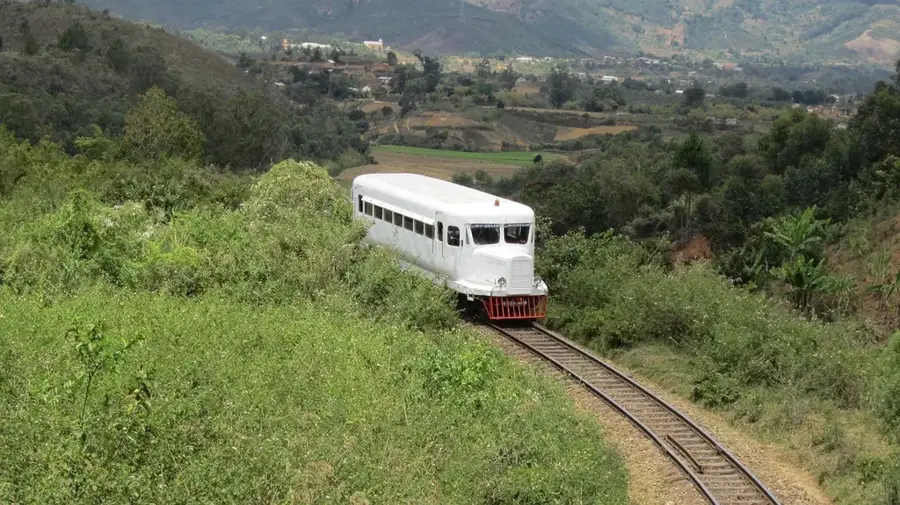
- The town lies along the railway line connecting Antananarivo and Antsirabe.
- Agriculture is the primary employer for over 90% of the local population.
- Antanifotsy is situated at an elevation of approximately 1,470 meters.
- It serves as the administrative seat of the Antanifotsy District.
Explore nearby
Notable places around
Route planner — Car & Motorhome
Where do you start? We build the route here, with stops and country notes along the way.
© OpenStreetMap contributors · OpenRouteService
Sights in the town Antanifotsy (1)
Frequently asked questions
How many days are enough for Antanifotsy?
When should one visit Antanifotsy?
How to get to Antanifotsy?
Is there local cuisine in Antanifotsy?
Is Antanifotsy a destination for families?
Antanifotsy: where is it located?
Antanifotsy: when is the best time to visit?
Antanifotsy: why is it worth visiting?

Nearby cities


History & landmarks


More places