Plizio Visual Lab
Miarinarivo
ℹ️Practical info — Miarinarivo
▾
🌤 Weather — 5 days
📍 Nearby
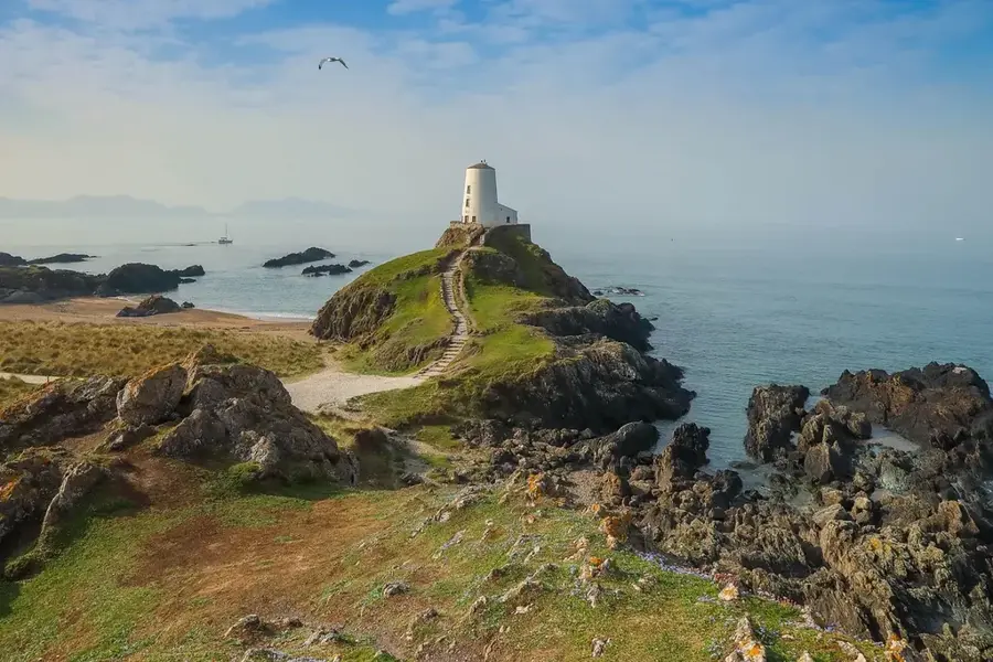
Sights nearby
💡 Tips
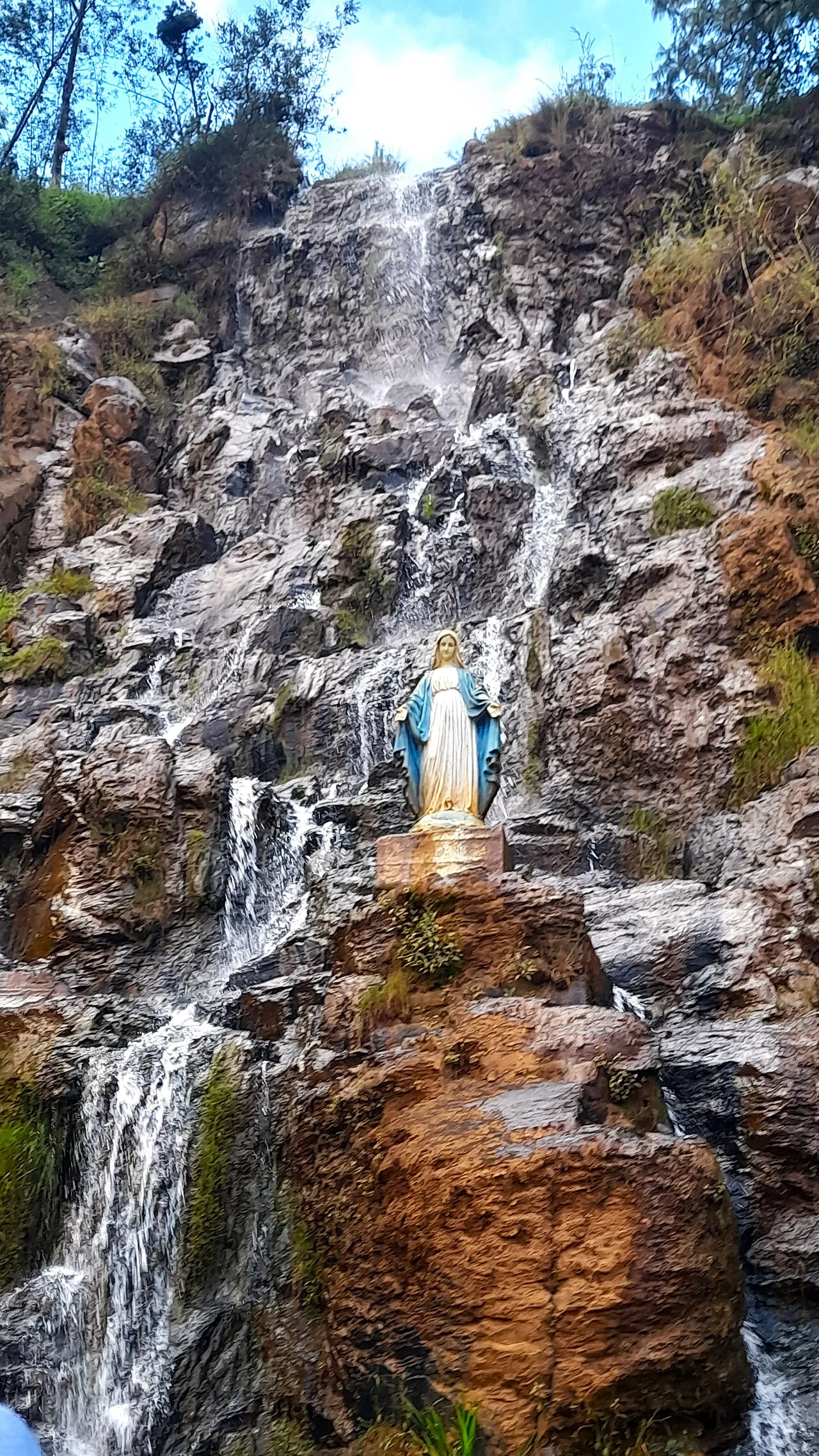
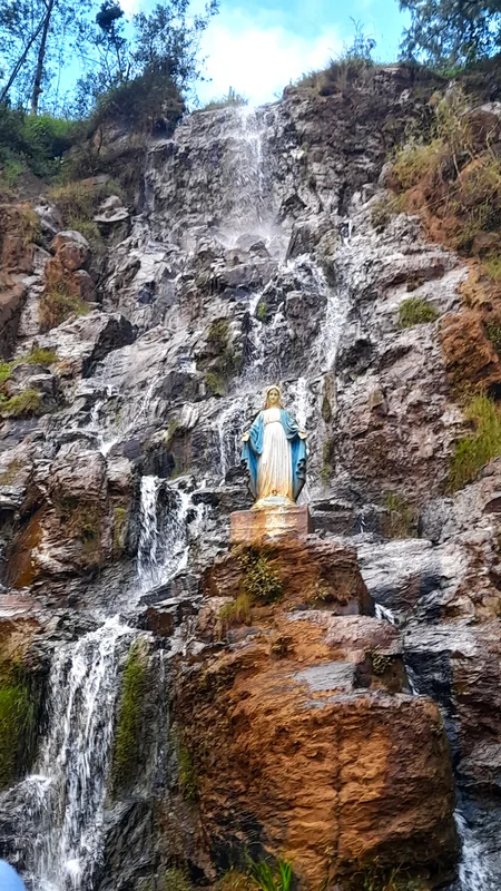
- The town is a relaxed base for visiting Lake Itasy and the Lily Waterfall.
- If planning a day trip to Ampefy, catch a taxi-brousse early from the main station.
- The climate here is generally cooler than the coast, so a light jacket in the evening is useful.
- Cash is king; withdraw money here before heading to smaller villages around Itasy.
🍽 Food
Try the fresh, locally caught tilapia, often served fried with rice at modest eateries.
Sweet Malagasy rice bread cooked in special pans, best bought fresh in the morning on the street.
Enjoy a strong, locally grown coffee at a sidewalk cafe near the central square.
🛍 Shopping · 🧘 Quiet spots
The Itasy region produces excellent wild honey, available in repurposed bottles at the market.
Look for weavers selling unique 'landibe' (wild silk) scarves in local craft stalls.
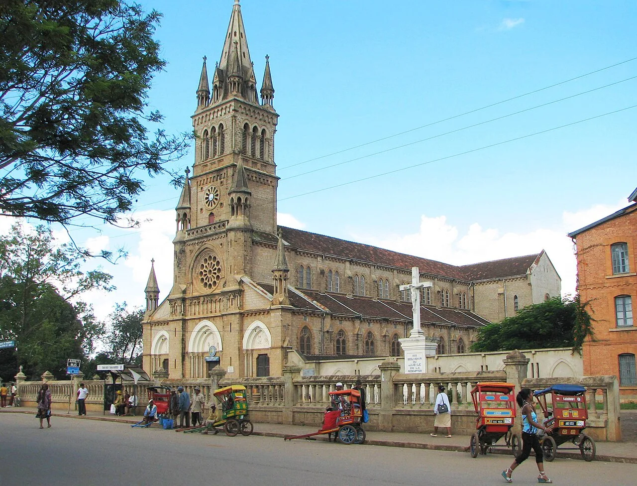
The grounds of this imposing brick cathedral offer a peaceful spot for reflection.
Walk along the dirt paths leading out of town for quiet views of the red earth and rolling hills.
Water temperature…
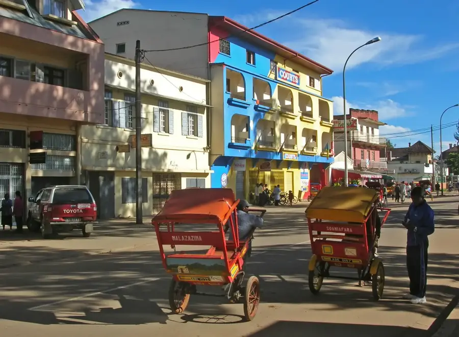
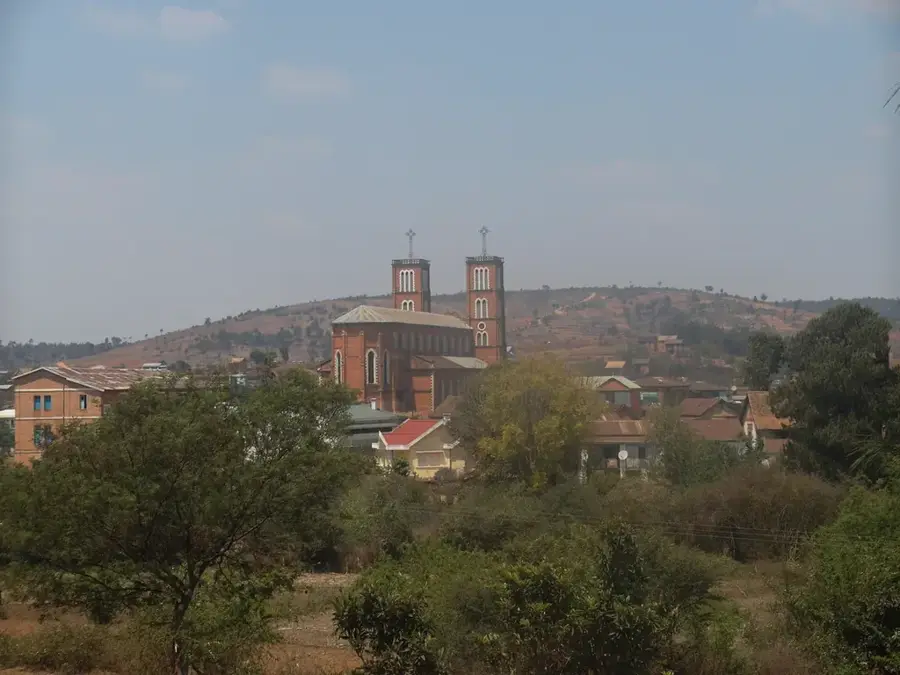
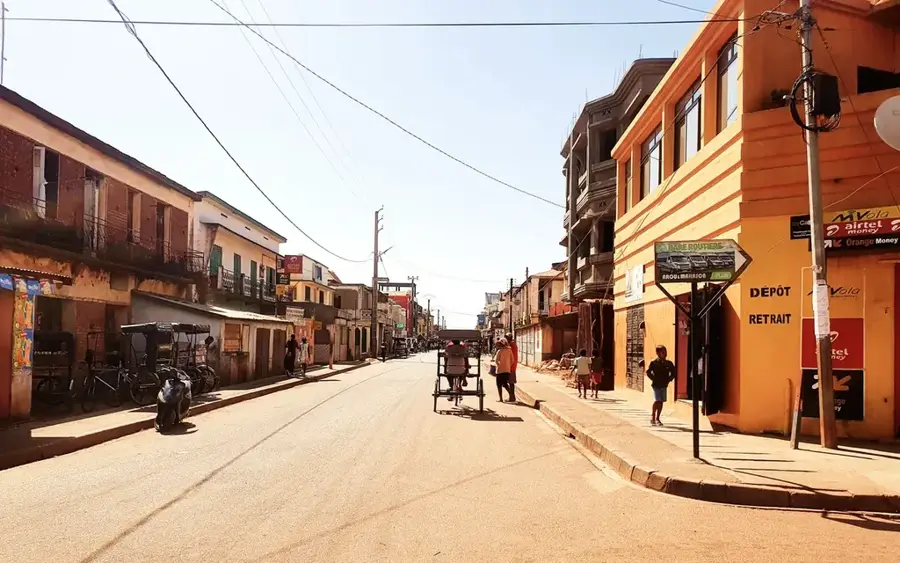
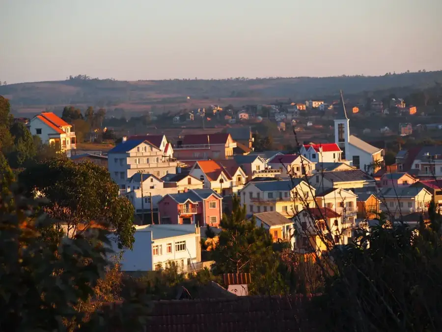
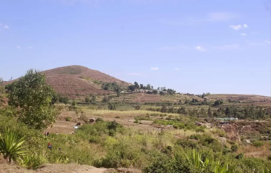
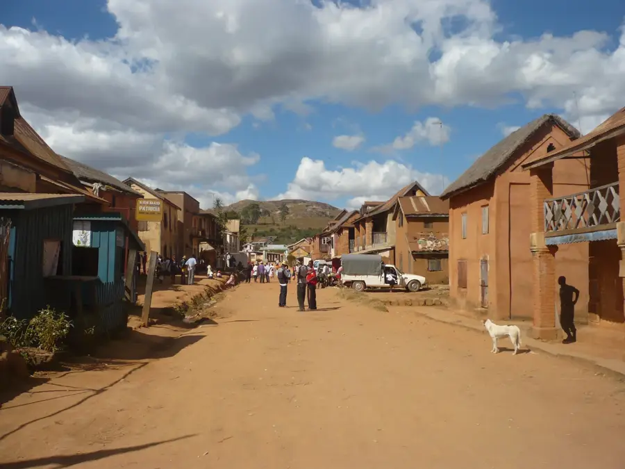
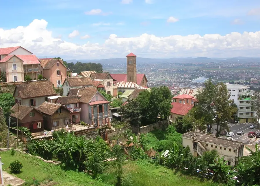
Miarinarivo functions as the capital of the Itasy region, situated roughly 90 kilometers west of Antananarivo within Madagascar's central highlands. The town is tucked away in a scenic volcanic landscape characterized by rolling hills and fertile valleys dedicated to intensive agricultural practices. Nearby lies Lake Itasy, the third largest lake in the nation, which is essential for local fisheries and burgeoning eco-tourism initiatives. Miarinarivo gained significant status in 1939 when it was established as a Roman Catholic episcopal see, evolving into a major religious and educational hub for the province. The local economy primarily revolves around the cultivation of maize, rice, and tobacco, alongside commercial activities facilitated by its location on National Road RN1. Given its elevation of over 1,300 meters, the town enjoys a temperate climate and serves as an important transit point for travelers exploring the geological wonders of the surrounding region.
- Location: Madagascar
- Nearby: Soavinandriana (24 km)
- Population: ~13.883 (2026)
Best time to visit & climate
The most pleasant time to visit is May, Sep, Oct.
| Jan | Feb | Mar | Apr | May | Jun | Jul | Aug | Sep | Oct | Nov | Dec | |
|---|---|---|---|---|---|---|---|---|---|---|---|---|
| Avg °C | 20 | 20 | 20 | 19 | 17 | 14 | 14 | 15 | 17 | 19 | 21 | 21 |
| Rain mm | 443 | 340 | 241 | 101 | 36 | 29 | 32 | 23 | 21 | 73 | 190 | 344 |
Geography
Facts
- Miarinarivo is the administrative headquarters of the Itasy region in Madagascar.
- The town is located along National Road RN1, a key route to the west.
- It has been the seat of a Roman Catholic Diocese since its establishment in 1939.
- The adjacent Lake Itasy is a major center for freshwater fish production.
- The urban center is situated at an altitude of approximately 1,330 meters.
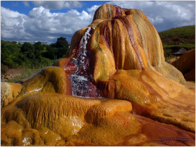
- The surrounding area is notable for its extinct volcanic features and cold geysers.
Explore nearby
Notable places around
Route planner — Car & Motorhome
Where do you start? We build the route here, with stops and country notes along the way.
© OpenStreetMap contributors · OpenRouteService
Frequently asked questions
Is Miarinarivo worth a day trip?
When is the best time?
How is the access?
Are there local dishes?
Is it family-friendly?
Miarinarivo: where is it located?
Miarinarivo: when is the best time to visit?
Miarinarivo: why is it worth visiting?

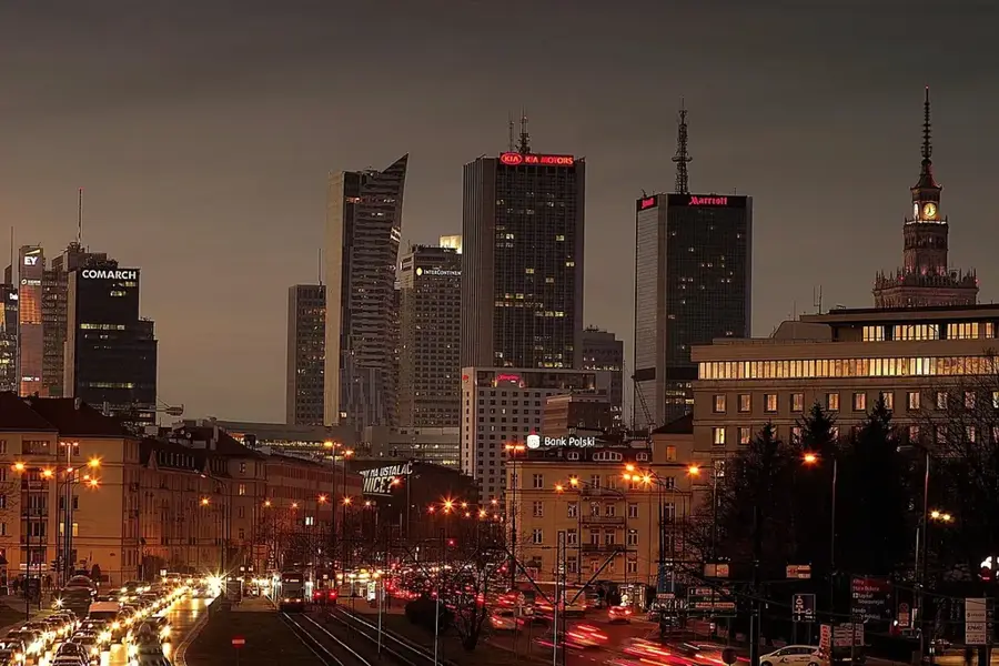
Nearby cities


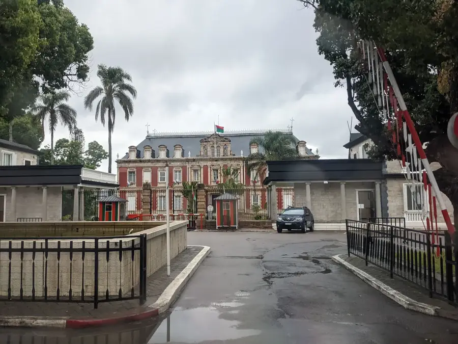
History & landmarks


More places