Plizio Visual Lab
Arivonimamo
ℹ️Practical info — Arivonimamo
▾
🌤 Weather — 5 days
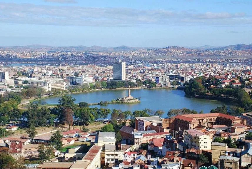
📍 Nearby
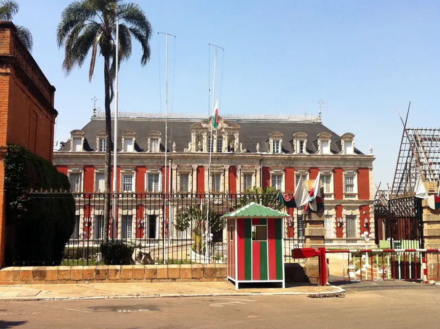
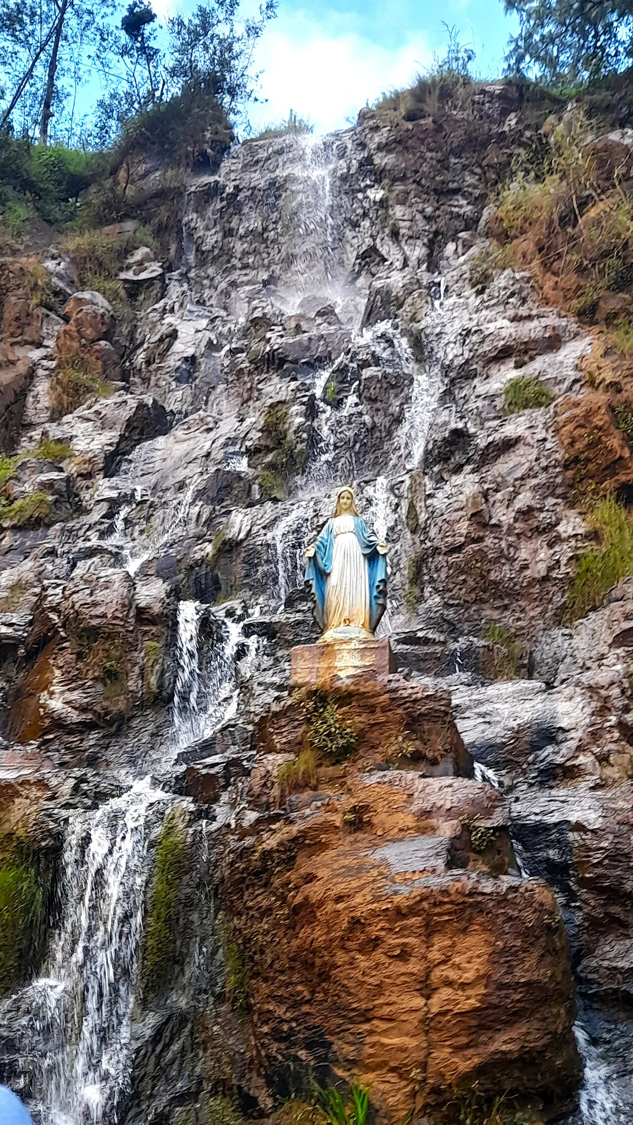
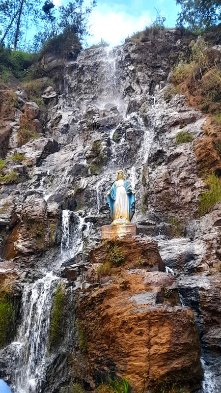
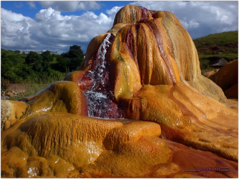
Sights nearby
💡 Tips
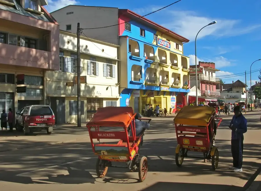
- Transport is mainly by taxi-brousse; prepare for crowded but authentic rides.
- The old international airport runway is an interesting historical remnant worth a quick look.
- ATMs are scarce and unreliable, so bring plenty of Ariary in cash from the capital.
- Buy local wild silk directly from weavers' cooperatives for better prices and to support locals.
🍽 Food
A traditional beef and greens stew, best enjoyed at a bustling local 'hotely' (eatery) near the market.
Pork cooked with crushed cassava leaves, commonly served at small central street diners.
A sweet snack made of peanuts and rice flour wrapped in banana leaves, look for roaming street vendors.
🛍 Shopping · 🧘 Quiet spots
Look for hand-woven silk scarves directly at the town's artisan weaving cooperatives.
Small, locally crafted spoons or jewelry made from zebu horn can be found in the main market.
Take a quiet walk on the town's outskirts among the tapia trees, the natural habitat of local silkworms.
The open space around the former runway provides an unusual but very quiet area to wander.
Water temperature…
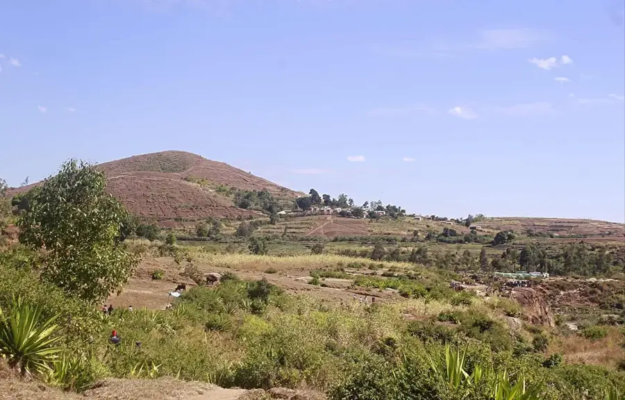
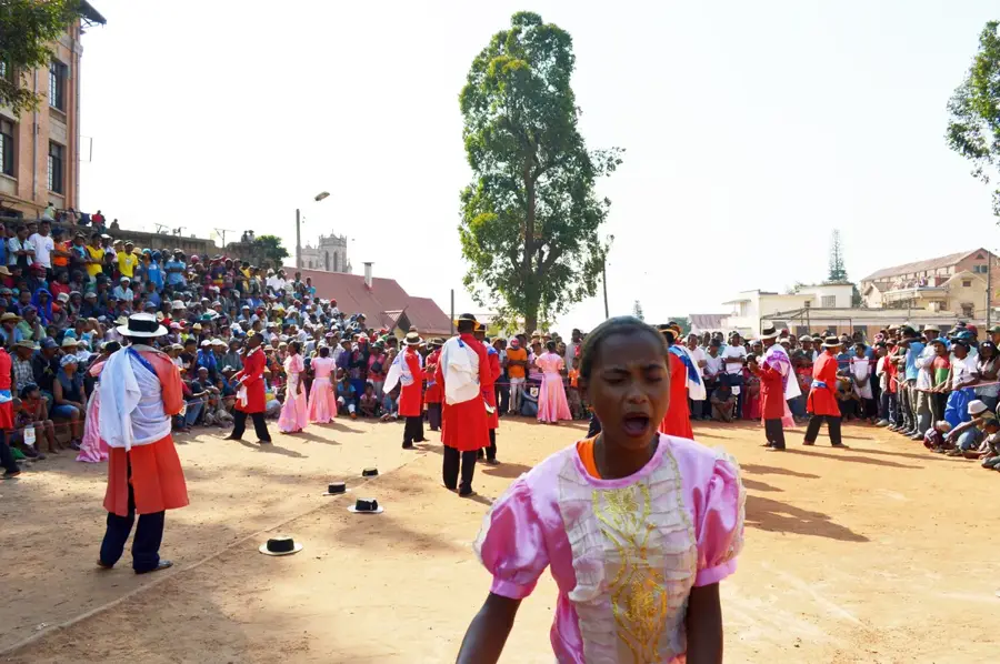
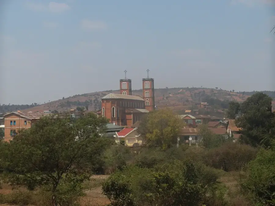
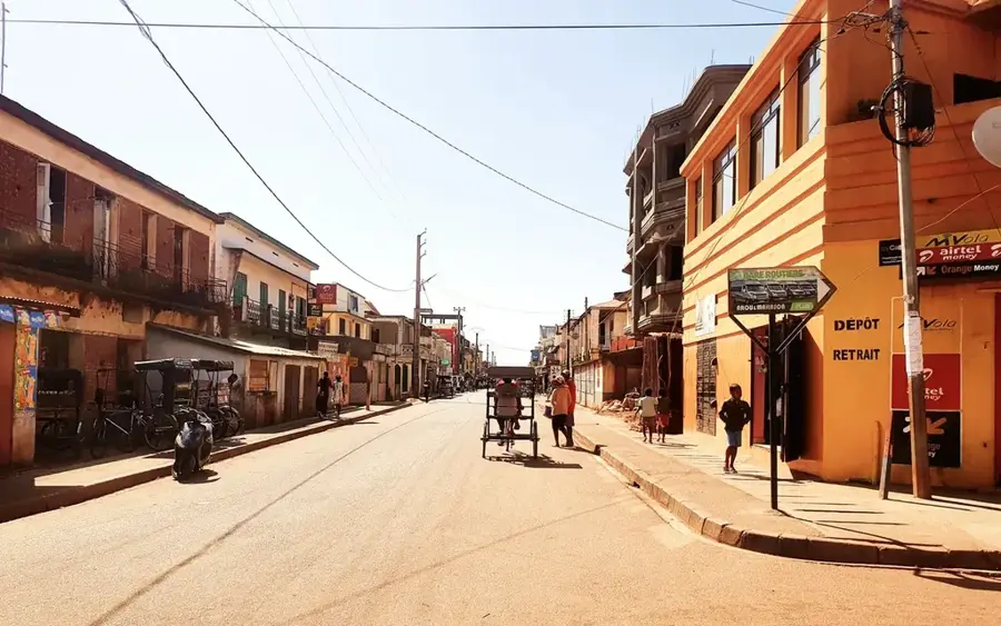
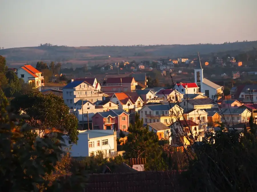
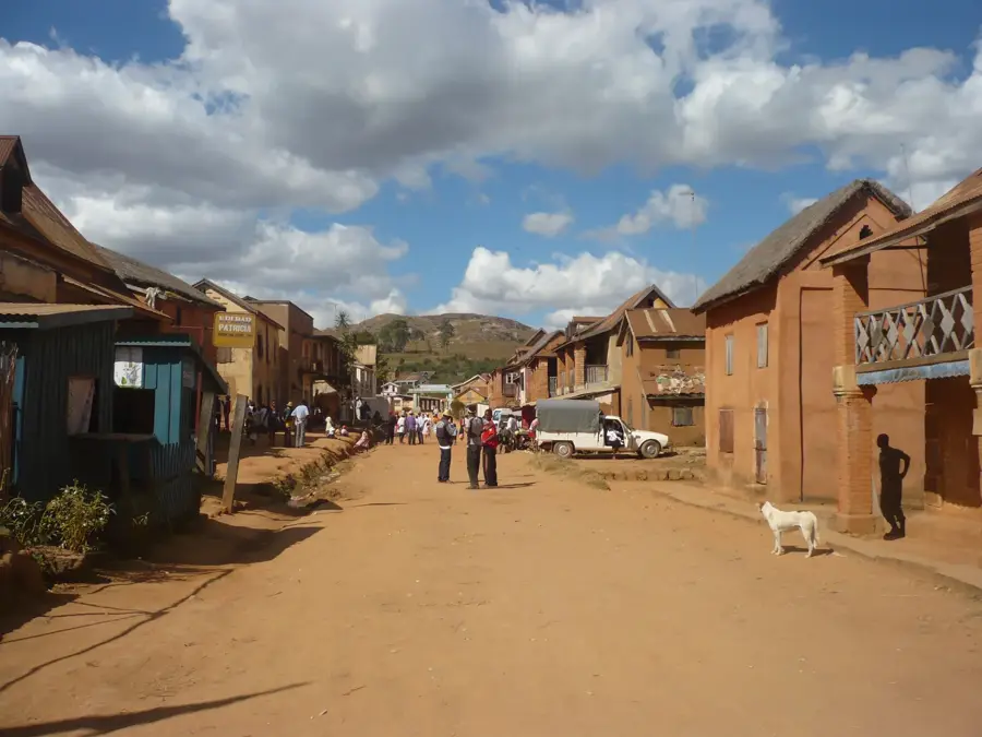
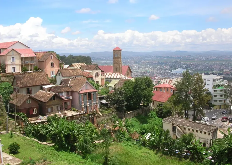
Arivonimamo is located approximately 50 kilometers west of Antananarivo in the Itasy region, holding historical significance as the site of Madagascar's former primary international airport until 1967. The town is a prominent center of Merina culture and is world-renowned for its production of wild silk, known as 'Landibe,' which is essential for traditional funerary shrouds (Lamba Mena). Geographically, it is situated at an elevation of about 1,300 meters, surrounded by a landscape of rolling hills and extensive rice paddies. Positioned along National Road RN1, Arivonimamo serves as a key commercial hub for textiles and highland agricultural goods. Beyond the silk industry, the town is an important educational center, hosting several long-standing Catholic missions and schools. Its relative proximity to the capital fosters a dynamic economic relationship, yet the town has successfully maintained its traditional craftsmanship and serene rural character.
- Location: Madagascar
- Nearby: Miarinarivo (32 km)
- Population: ~29.997 (2023)
Best time to visit & climate
The most pleasant time to visit is May, Sep, Oct.
| Jan | Feb | Mar | Apr | May | Jun | Jul | Aug | Sep | Oct | Nov | Dec | |
|---|---|---|---|---|---|---|---|---|---|---|---|---|
| Avg °C | 20 | 20 | 20 | 19 | 17 | 14 | 14 | 15 | 17 | 19 | 21 | 21 |
| Rain mm | 443 | 340 | 241 | 101 | 36 | 29 | 32 | 23 | 21 | 73 | 190 | 344 |
Geography
Facts
- Arivonimamo was home to Madagascar's primary international airport until 1967.
- The town is the most significant hub for wild silk (Landibe) weaving.
- It is strategically located along the National Road RN1 heading west.
- The average elevation of the town is approximately 1,300 meters.
- The settlement hosts several prominent Catholic missions and educational centers.
- The region is a key cultural area for the Merina ethnic group and their traditions.
Explore nearby
Notable places around
Route planner — Car & Motorhome
Where do you start? We build the route here, with stops and country notes along the way.
© OpenStreetMap contributors · OpenRouteService
Sights in the town Arivonimamo (1)
Frequently asked questions
How long should I stay?
What to see?
Best way to get there?
Are there accommodations?
Is it a good resting place?
Arivonimamo: where is it located?
Arivonimamo: when is the best time to visit?
Arivonimamo: why is it worth visiting?

Nearby cities

History & landmarks


More places