Plizio Visual Lab
Ankazobe
ℹ️Practical info — Ankazobe
▾
🌤 Weather — 5 days
📍 Nearby
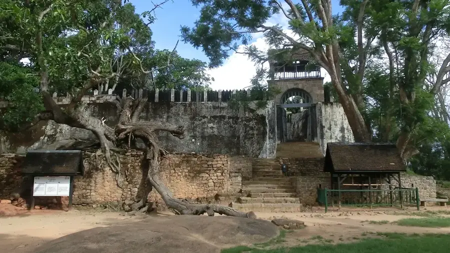
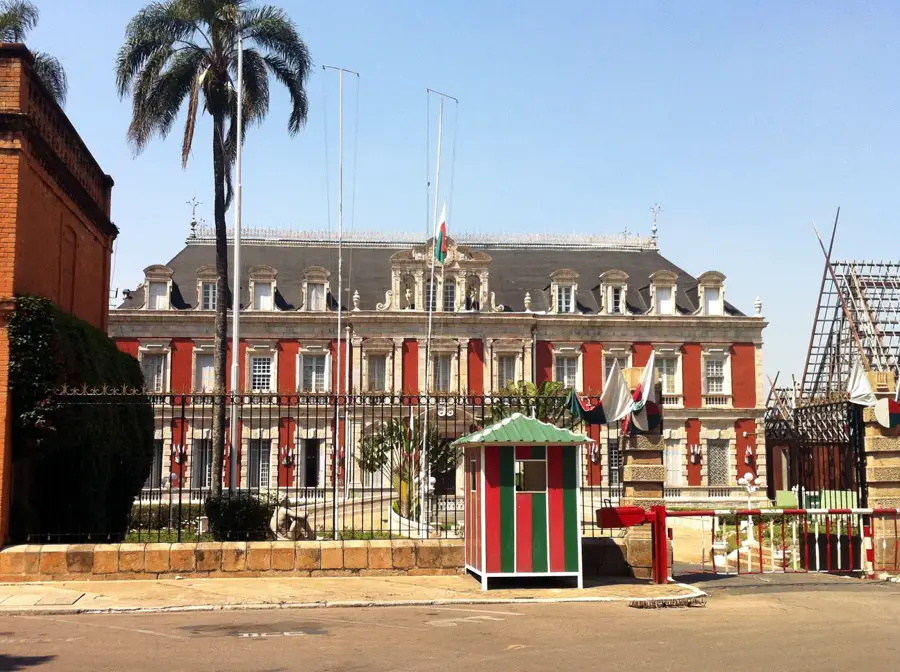
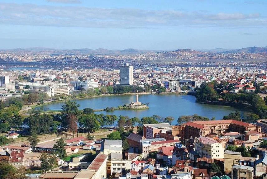
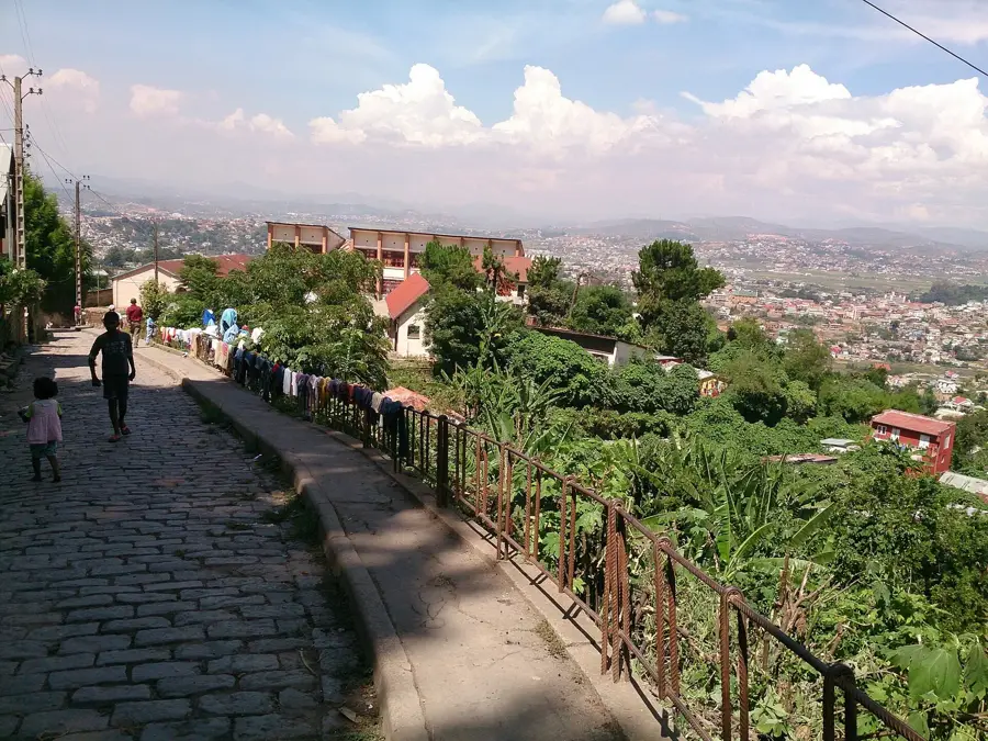
Sights nearby
💡 Tips
- As it sits on the highland plateau edge (Tampoketsa), mornings and evenings can be surprisingly chilly; bring layers.
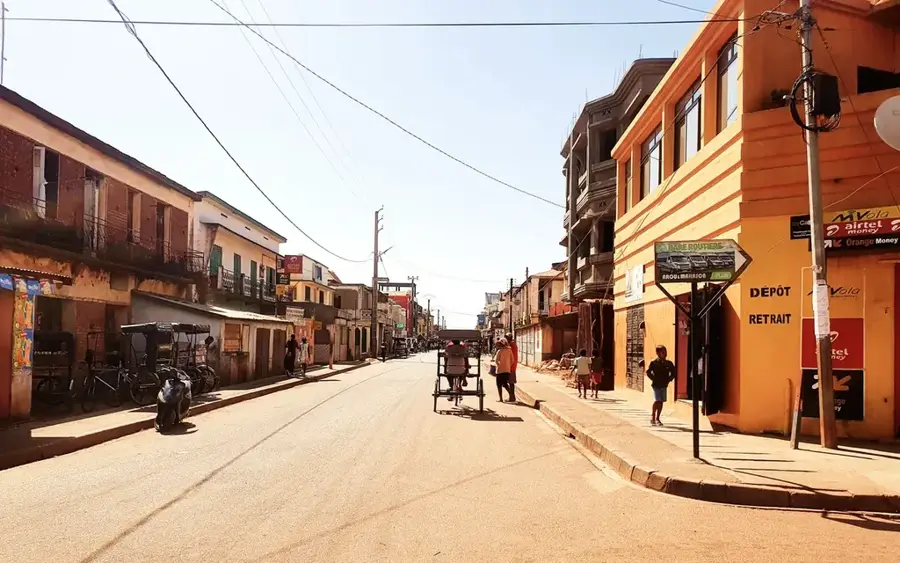
- It is a common rest stop on the RN4 highway; use it to refuel and stretch your legs before the long drive north.
- If visiting the nearby Ambohitantely Special Reserve, arrange a guide in advance as facilities are minimal.
- Be prepared for basic amenities; power and running water can sometimes be intermittent.
🍽 Food
Rice with a side dish, typically pork or zebu, found in all roadside eateries.
Sweet rice flour cakes sold in the early morning at the market, well-suited with coffee.
Buy seasonal fruits like peaches or apples from roadside vendors.
🛍 Shopping · 🧘 Quiet spots
Vendors along the main road sell local agricultural produce and honey.
Check the local market for practical baskets made from sisal or raffia by highland artisans.
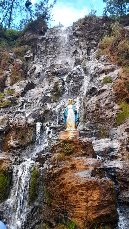
Located a bit away from town, offering pristine highland forest and peaceful trails.
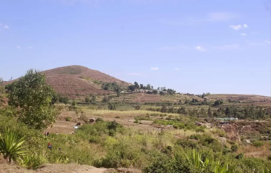
The rolling hills just outside town offer sweeping, quiet views of the plateau.
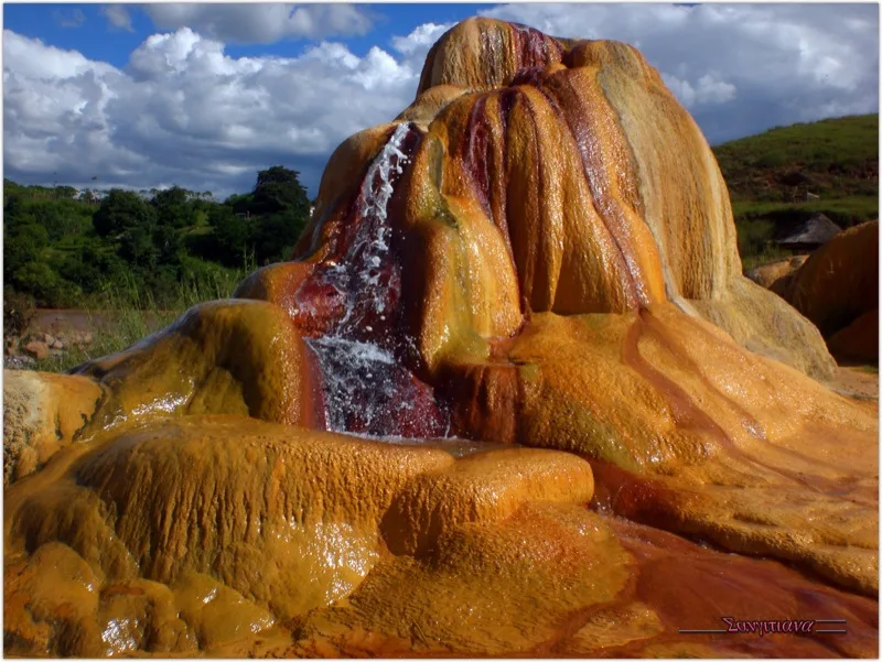
Water temperature…
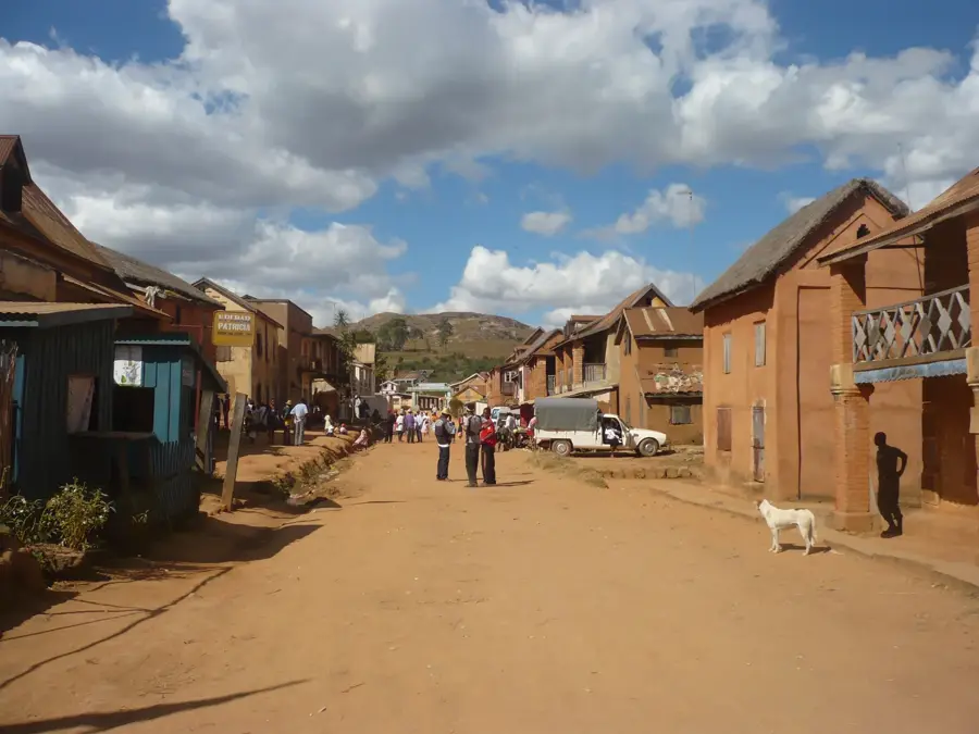
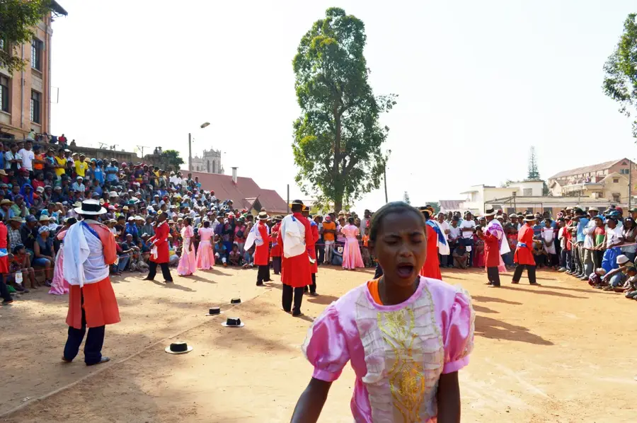
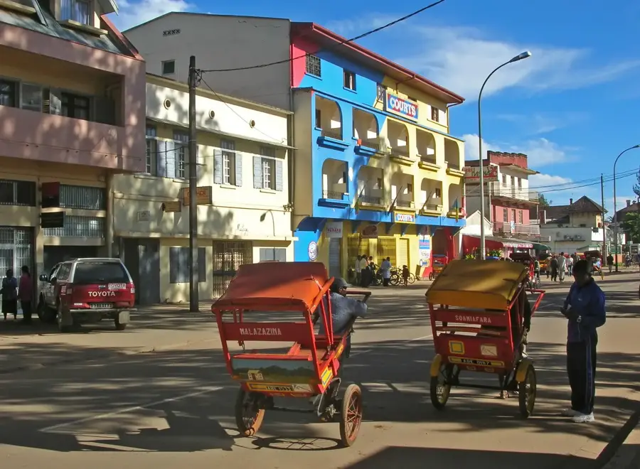
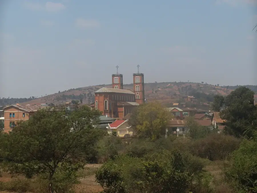
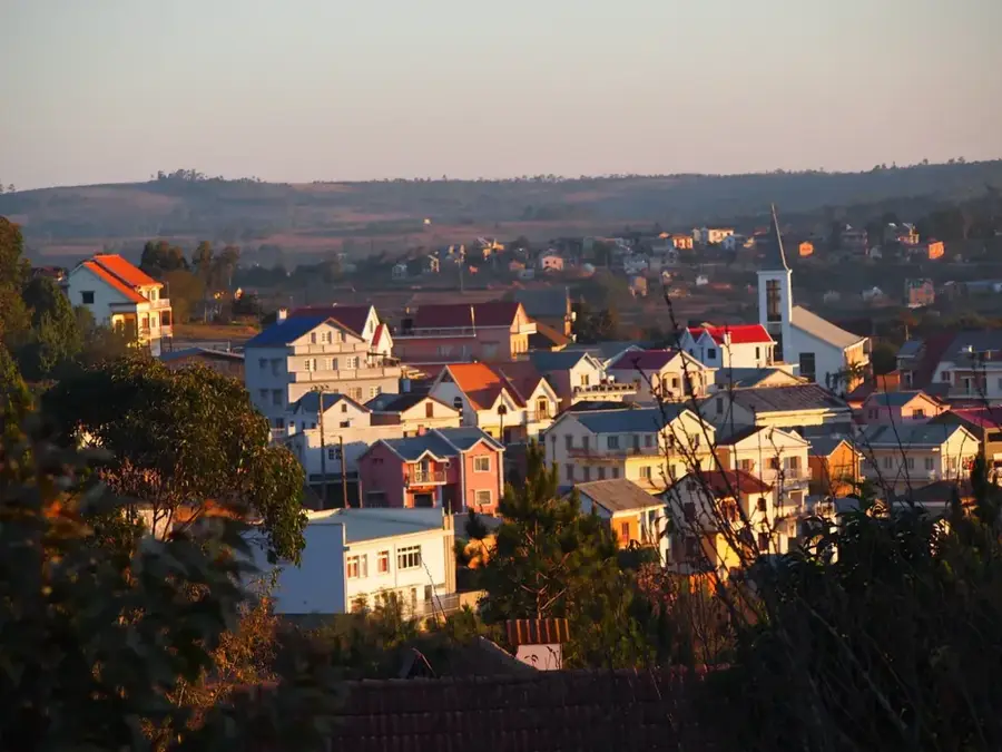
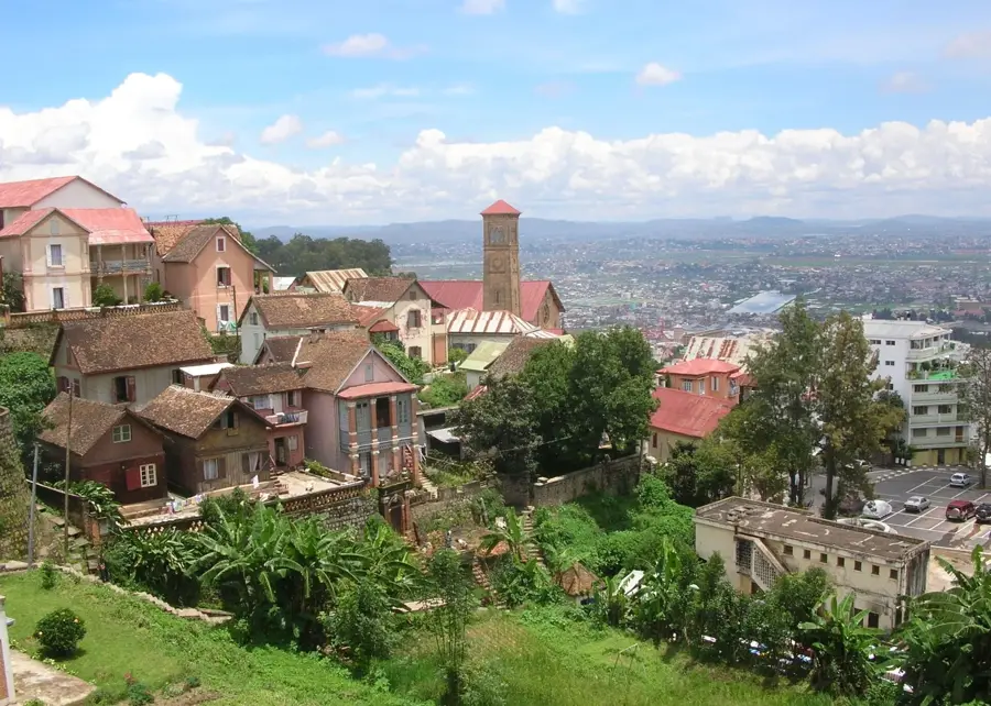
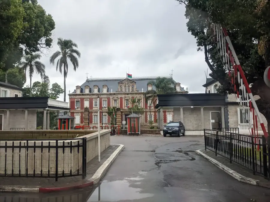
Ankazobe is a significant town in the central highlands of Madagascar, situated within the Analamanga region about 90 kilometers north of the capital, Antananarivo. Perched on a high plateau, the town serves as a vital transit hub along the RN4 national road, which connects the capital to the northwestern part of the island. Ankazobe is well-known for its forestry sector, with surrounding eucalyptus and pine plantations providing a major source of timber and charcoal for the metropolitan area. The town's history is tied to the expansion of the Merina Kingdom, acting as a strategic northern outpost during the 19th century. Geographically, the region features rolling hills and broad valleys where intensive rice farming and cattle herding are practiced. The climate is cooler and drier than the coastal regions, typical of the Malagasy highlands. Nearby, the Ankazobe massif provides opportunities for hiking and nature exploration. With a growing population, the town remains an essential administrative and economic anchor for the rural districts north of Antananarivo.
- Location: Madagascar
- Nearby: Arivonimamo (53 km)
- Population: ~28.430 (2023)
Best time to visit & climate
The most pleasant time to visit is May, Sep, Oct.
| Jan | Feb | Mar | Apr | May | Jun | Jul | Aug | Sep | Oct | Nov | Dec | |
|---|---|---|---|---|---|---|---|---|---|---|---|---|
| Avg °C | 21 | 21 | 20 | 19 | 17 | 15 | 14 | 15 | 17 | 20 | 21 | 21 |
| Rain mm | 419 | 325 | 232 | 80 | 31 | 20 | 21 | 15 | 16 | 64 | 160 | 314 |
Geography
Facts
- Ankazobe is located approximately 90 km north of Antananarivo on the RN4.
- The town is a major supplier of timber and charcoal for the capital city.
- It sits at an elevation of over 1,200 meters in the central highlands.
- Historically, it served as a key strategic outpost for the Merina Kingdom.
- The region is known for its extensive eucalyptus and pine forests.
- Agriculture focuses on rice in the valleys and cattle grazing on the hills.
Explore nearby
Notable places around
Route planner — Car & Motorhome
Where do you start? We build the route here, with stops and country notes along the way.
© OpenStreetMap contributors · OpenRouteService
Frequently asked questions
How many days to spend in Ankazobe?
Best time?
How to get to Ankazobe?
Local cuisine?
Family-friendly?
Ankazobe: where is it located?
Ankazobe: when is the best time to visit?
Ankazobe: why is it worth visiting?

Nearby cities

History & landmarks


More places