Plizio Visual Lab
Faratsiho
ℹ️Practical info — Faratsiho
▾
🌤 Weather — 5 days
📍 Nearby
Sights nearby
💡 Tips
- As the highest city in Madagascar, the climate is noticeably colder; pack warm clothing.
- The dirt roads leading to the city can become very difficult to navigate during the rainy season.
- This is an excellent starting point for trekking in the Ankaratra mountains.
- Expect very little tourist infrastructure; prepare for an authentic, rural experience.
🍽 Food
A traditional Malagasy meat and leafy green stew served in local 'hotelys' (small eateries).
Rice cooked with greens, a comforting and warming dish great for cold mountain mornings.
Try the strong local coffee paired with sweet Malagasy rice cakes from street vendors.
🛍 Shopping · 🧘 Quiet spots
Buy fresh mountain vegetables grown in the fertile volcanic soils.
Due to the cold, locals often sell handmade beanies and sweaters.
Hike just outside town to enjoy the peaceful, sweeping mountain landscapes.
Take a quiet walk along the rice terraces and farmlands surrounding the town.
Water temperature…
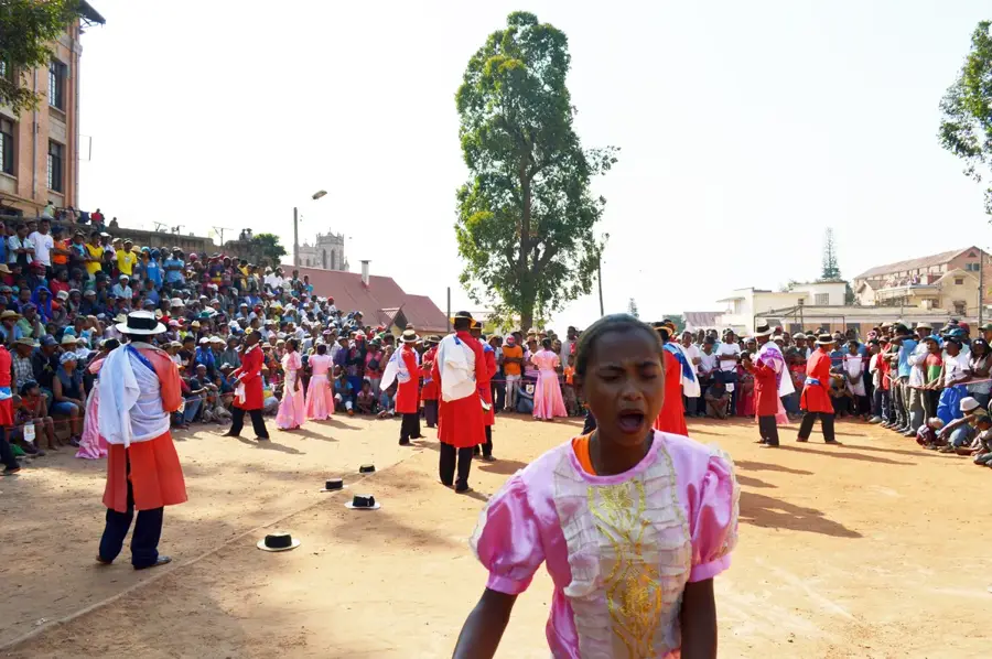
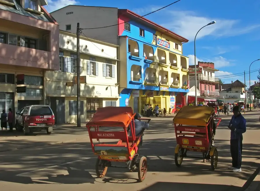
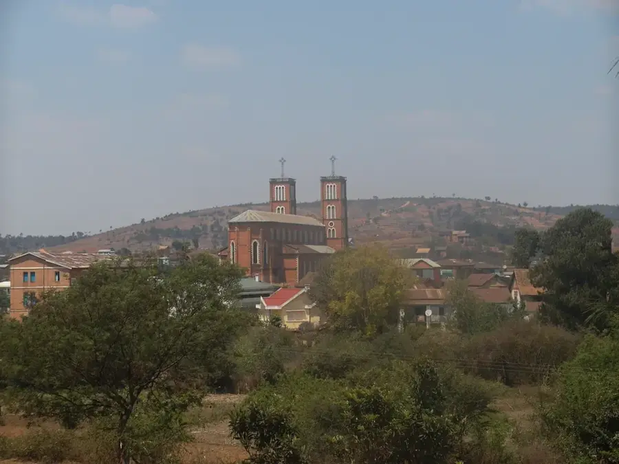
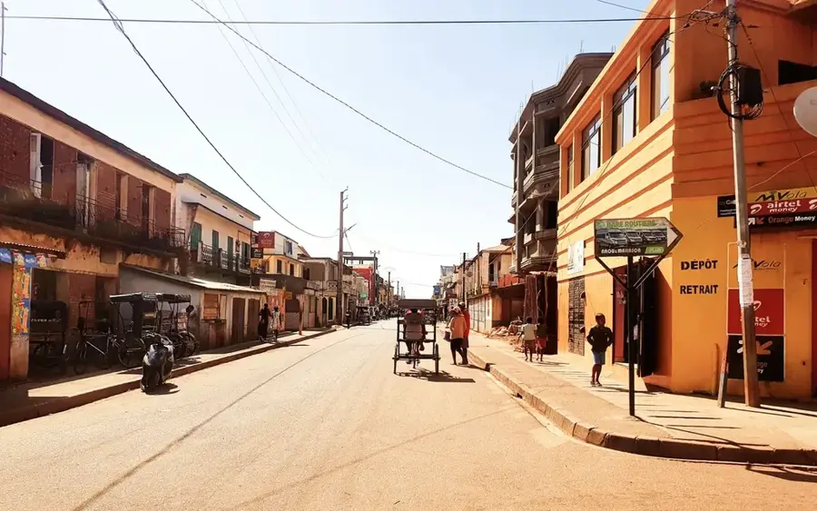
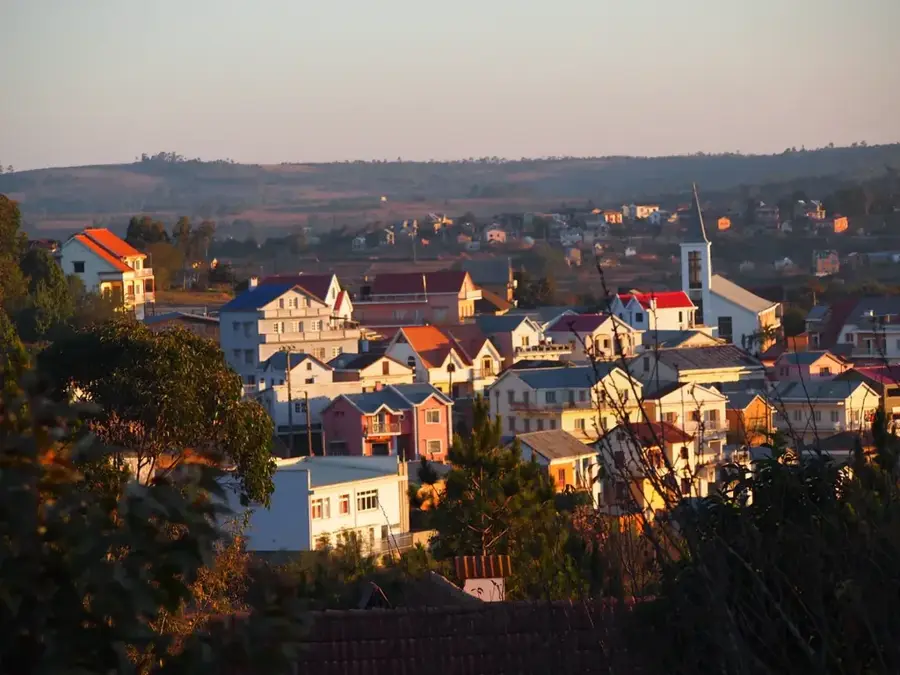
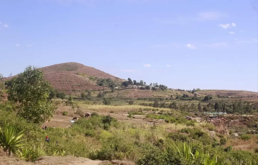
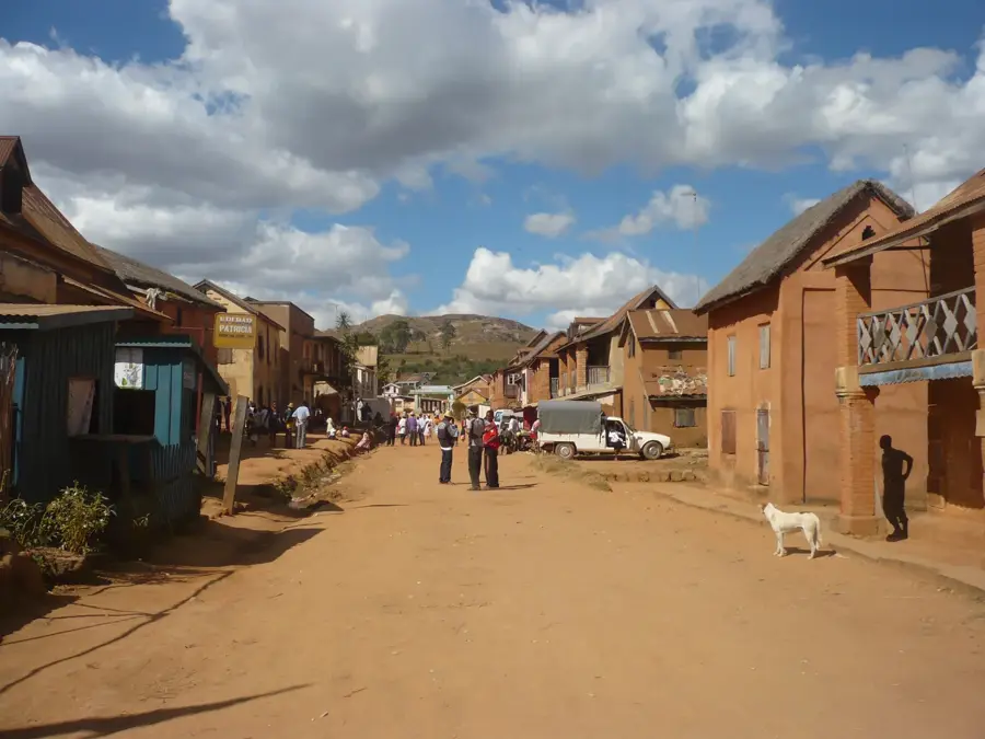
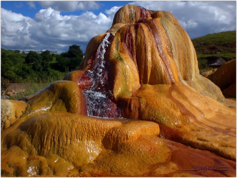
Faratsiho is one of the highest towns in Madagascar, located in the Vakinankaratra region within the rugged Ankaratra mountain range. At an elevation of approximately 1,700 meters above sea level, the town experiences a cool mountain climate that is distinct from the tropical lowlands. This geography has shaped Faratsiho into the premier potato-producing center of the country, often referred to as the island's vegetable garden. Historically, the town was a significant administrative post during the colonial era, serving as a gateway between the central highlands and the west. The population is predominantly Merina, known for their expertise in terraced farming and irrigation on the steep slopes. In addition to potatoes, the region is a major producer of apples, pears, and various cereals. The surrounding landscape features extinct volcanic peaks and gives some of the most dramatic highland scenery in Madagascar. Today, Faratsiho remains an essential agricultural hub, supplying critical food staples to the capital, Antananarivo, and other urban centers.
- Location: Madagascar
- Nearby: Soavinandriana (30 km)
- Population: ~37.563 (2018)
Best time to visit & climate
The most pleasant time to visit is May, Sep, Oct.
| Jan | Feb | Mar | Apr | May | Jun | Jul | Aug | Sep | Oct | Nov | Dec | |
|---|---|---|---|---|---|---|---|---|---|---|---|---|
| Avg °C | 19 | 19 | 19 | 17 | 15 | 13 | 13 | 14 | 16 | 18 | 19 | 20 |
| Rain mm | 483 | 358 | 263 | 124 | 37 | 25 | 30 | 17 | 20 | 76 | 209 | 349 |
Geography
Facts
- One of the highest urban centers in Madagascar (1,700m elevation).
- The leading production hub for potatoes in the country.
- Located within the Ankaratra volcanic mountain range.
- Famous for its cool climate and temperate fruit orchards.
- A key stronghold for the Merina people's terraced agriculture.
- Strategic gateway connecting the highlands to the western plains.
Explore nearby
Notable places around
Route planner — Car & Motorhome
Where do you start? We build the route here, with stops and country notes along the way.
© OpenStreetMap contributors · OpenRouteService
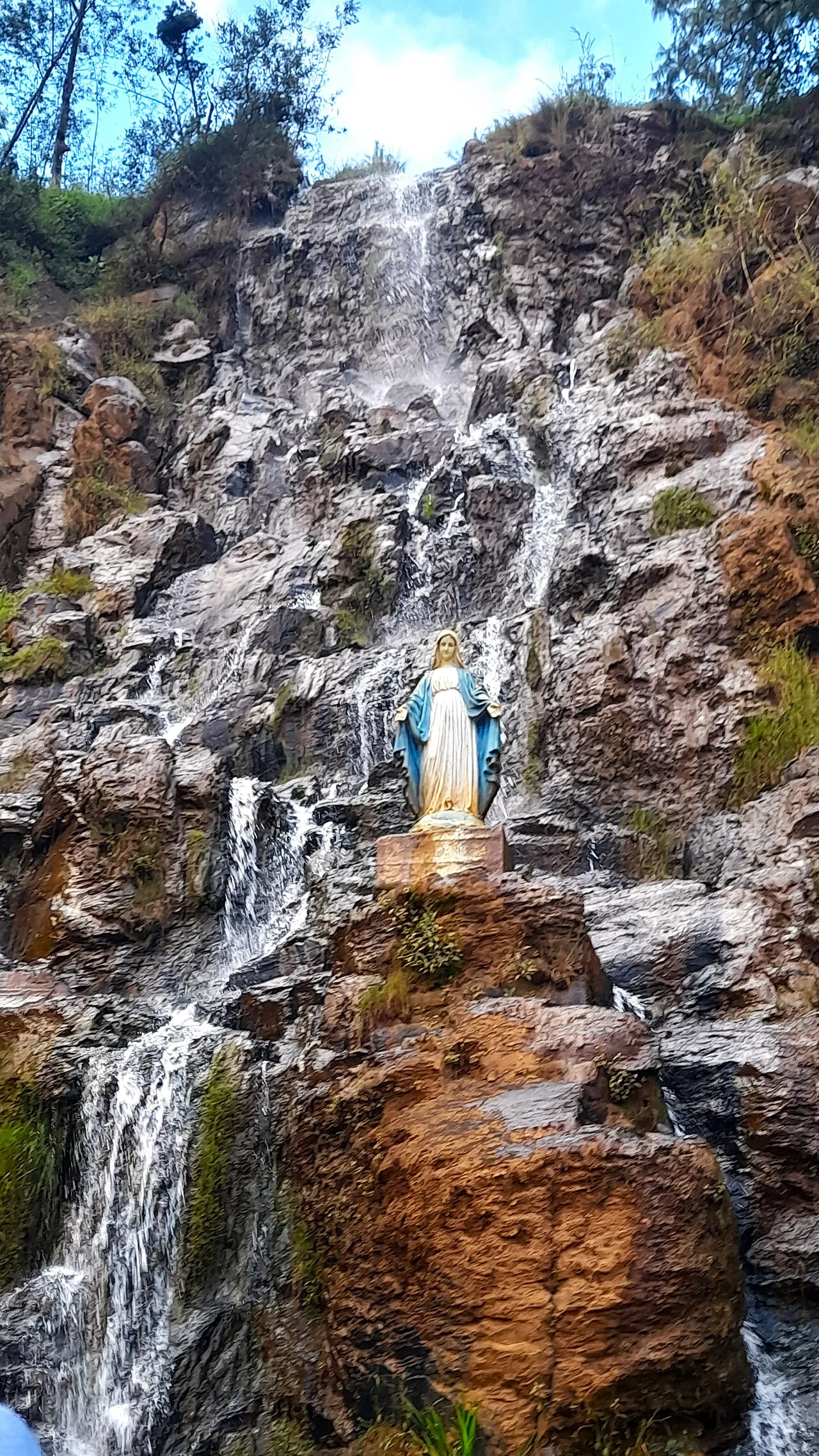
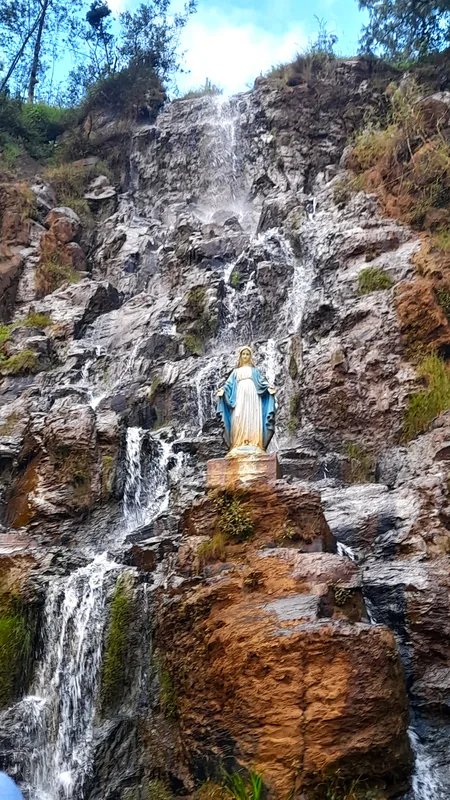
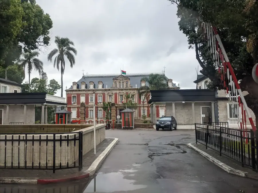
Sights in the town Faratsiho (1)
Frequently asked questions
How many days to spend in Faratsiho?
Best time?
How to get to Faratsiho?
Culinary offer?
Family-friendly?
Faratsiho: where is it located?
Faratsiho: when is the best time to visit?
Faratsiho: why is it worth visiting?

Nearby cities

History & landmarks

More places