Plizio Visual Lab
Fortifications of Antongona

Weather…
Water temperature…
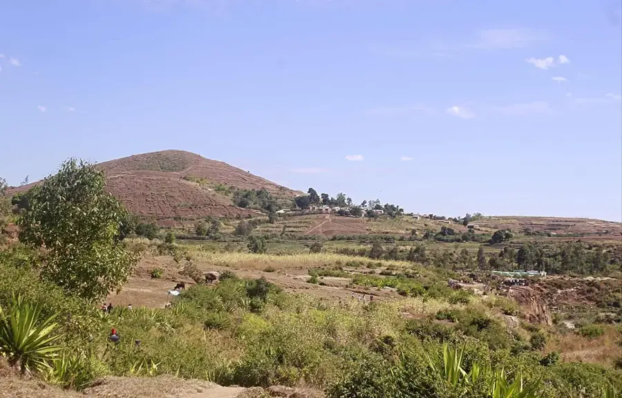
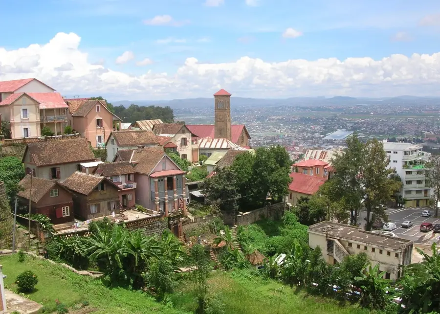
The fortifications of Antongona are striking examples of the military architecture of the Merina Kingdom during the 17th and 18th centuries. Located on two prominent granite hills about 36 kilometers west of Antananarivo, they functioned as strategic watchtowers and defensive outposts. The site consists of several wooden structures built upon high stone platforms, surrounded by deep defensive trenches and massive stone walls. A defining feature is the enormous stone discs known as Vavahady, which served as gates and were rolled in front of the entrances during times of danger. These forts played a decisive role in securing the central highlands against hostile incursions from the Sakalava and other regional groups. From the summits, defenders enjoyed a commanding view of the surrounding plains, allowing for the early detection of approaching threats. In the 1990s, the wooden buildings were reconstructed using traditional methods to provide visitors with an insight into garrison life and the kingdom's defense strategies. Antongona is now a protected cultural monument showcasing the technological and military ingenuity of ancient Malagasy society.
- Location: Madagascar
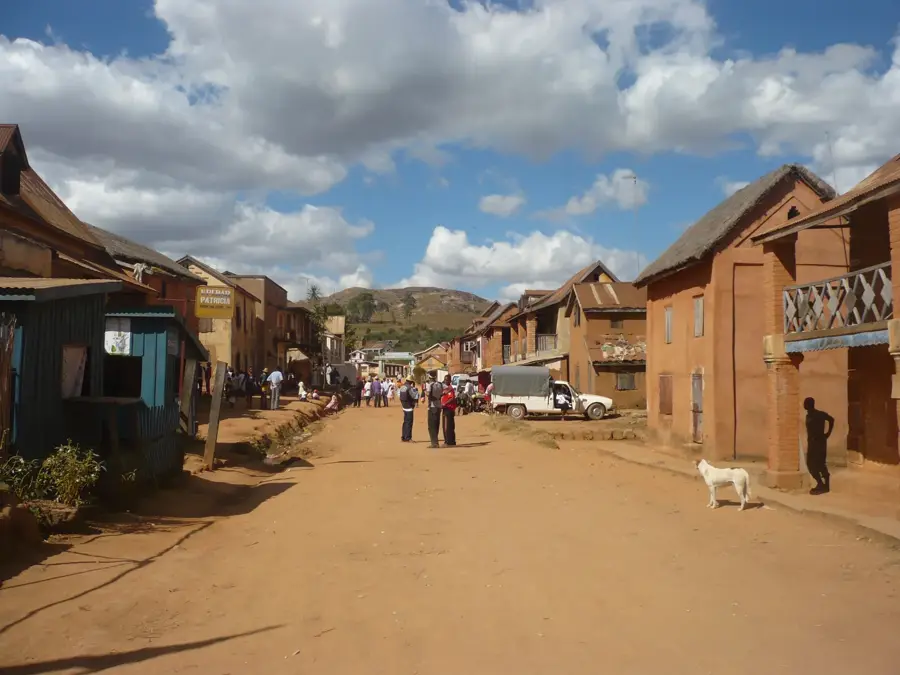
- Top sights: Association Alfa et Oméga Ambatomirahavavy · Fa Loisirs Imerintsiatosika · Espace Villa Hasimbola
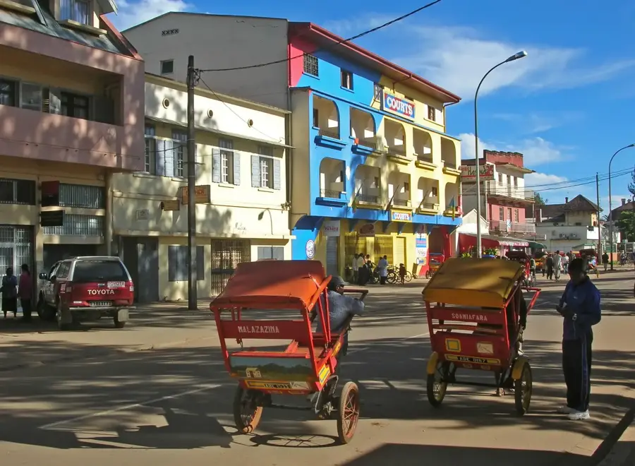
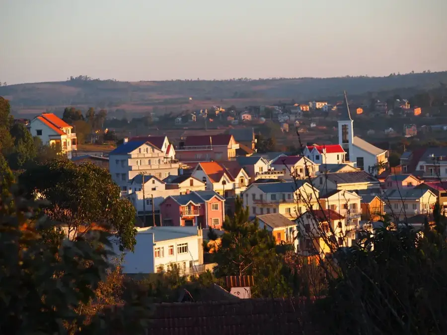
- Nearby: Arivonimamo (14 km)
Best time to visit & climate
The most pleasant time to visit is May, Sep, Oct.
| Jan | Feb | Mar | Apr | May | Jun | Jul | Aug | Sep | Oct | Nov | Dec | |
|---|---|---|---|---|---|---|---|---|---|---|---|---|
| Avg °C | 19 | 19 | 19 | 17 | 16 | 13 | 12 | 13 | 15 | 17 | 19 | 19 |
| Rain mm | 475 | 379 | 304 | 159 | 86 | 84 | 85 | 58 | 47 | 96 | 222 | 388 |
📋 Practical info
Geography
Facts
- The two hills of Antongona rise to an elevation of nearly 1,500 meters above sea level.
- King Andriamasinavalona utilized the fortress for border surveillance in the 17th century.
- The Vavahady stone gates often weigh several tons and are carved into near-perfect circles.
- The site currently houses a small museum dedicated to the history of the central highlands.
- Archaeological evidence suggests the area was inhabited prior to the rise of the Merina Kingdom.
- The defensive trenches (Hadivory) surrounding the forts are up to five meters deep.
Explore nearby
Notable places around
Route planner — Car & Motorhome
Where do you start? We build the route here, with stops and country notes along the way.
© OpenStreetMap contributors · OpenRouteService
Sights in the town Fortifications of Antongona (6)
Sights nearby
Frequently asked questions
Is the climb to the fortifications worth it?
What gear do I need?
How long does the climb take?
Is the path dangerous?
Is there a tour guide on site?
Fortifications of Antongona: where is it located?
Fortifications of Antongona: what is there to see?
Fortifications of Antongona: when is the best time to visit?
Fortifications of Antongona: why is it worth visiting?

Nearby cities


History & landmarks


More places