Plizio Visual Lab
Ankaratra Mountains
Weather…
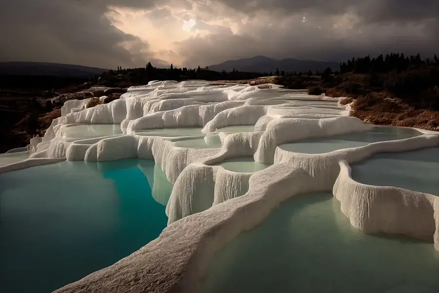
Water temperature…
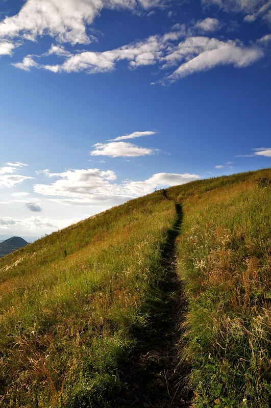
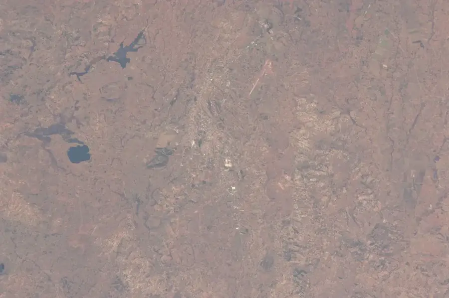
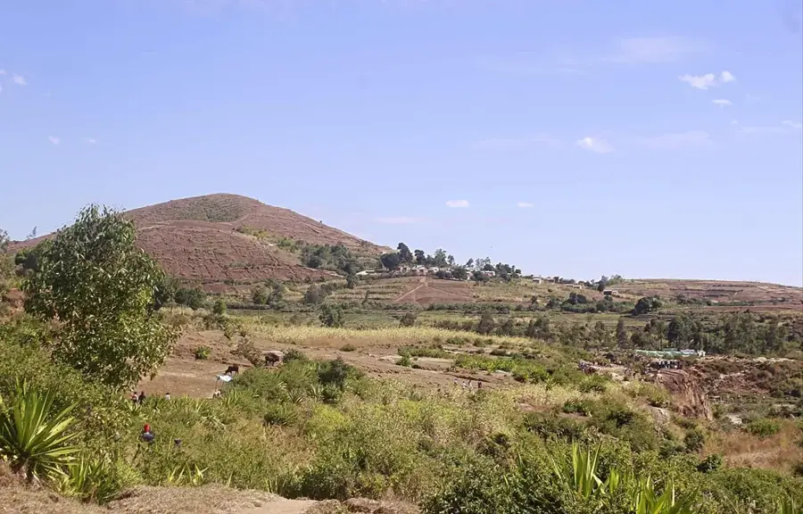
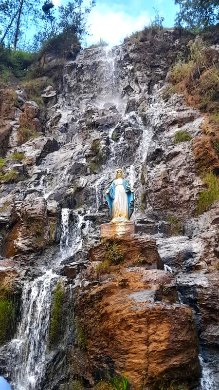
The Ankaratra Mountains are a major volcanic range in the Central Highlands of Madagascar, located south of the capital Antananarivo. Stretching for approximately 100 kilometers, the range consists of a series of extinct volcanoes formed during the Cenozoic era. The region is known for its cool climate, which stands in stark contrast to the tropical coastal areas and frequently experiences dense fog. Geologically, the mountains are characterized by basaltic and rhyolitic rocks brought to the surface by tectonic uplift and ancient volcanic activity. Today, the slopes of Ankaratra are largely deforested and used for the cultivation of cereals and temperate fruits, though remnants of original highland vegetation still exist at higher altitudes. The massif serves as a critical watershed for the surrounding valleys, feeding several rivers and lakes. Due to its proximity to the capital, it is a popular destination for hiking, with the Tsiafajavona peak being its most prominent elevation. Culturally, the range is deeply connected to the history and traditions of the Merina kings.
- Location: Madagascar
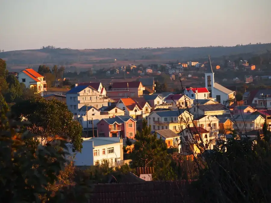
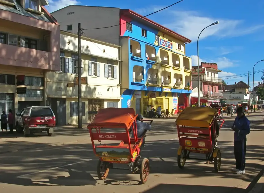
- Nearby: Antanifotsy (26 km)
Best time to visit & climate
The most pleasant time to visit is May, Sep, Oct.
| Jan | Feb | Mar | Apr | May | Jun | Jul | Aug | Sep | Oct | Nov | Dec | |
|---|---|---|---|---|---|---|---|---|---|---|---|---|
| Avg °C | 18 | 18 | 18 | 16 | 15 | 12 | 11 | 12 | 14 | 16 | 18 | 18 |
| Rain mm | 532 | 420 | 347 | 205 | 113 | 110 | 111 | 71 | 57 | 113 | 263 | 439 |
📋 Practical info
Geography
Facts
- Stretches approximately 100 km in length
- Second highest mountain range on the island
- Created by significant volcanic uplift
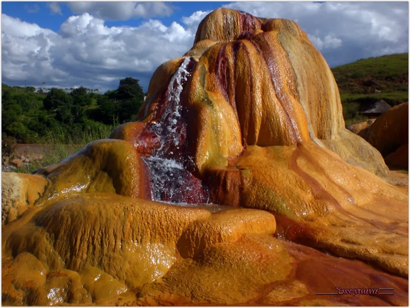
- Primary watershed for Central Madagascar
- Average elevation exceeds 2,000 meters
- Habitat for rare highland amphibian species
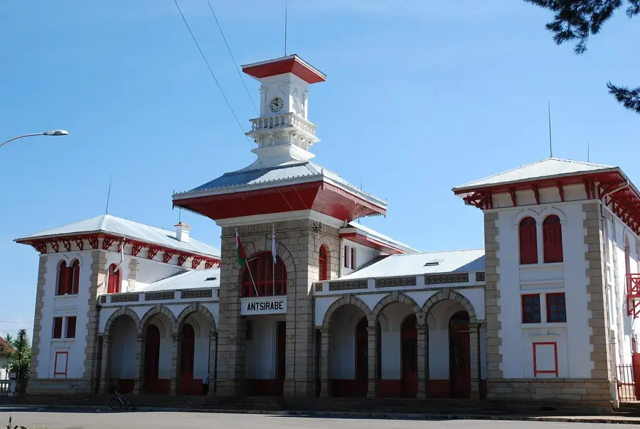
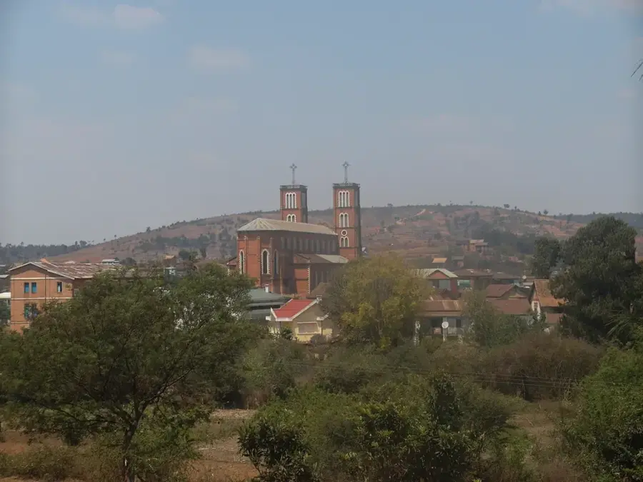
Explore nearby
Notable places around
Route planner — Car & Motorhome
Where do you start? We build the route here, with stops and country notes along the way.
© OpenStreetMap contributors · OpenRouteService
Sights in the town Ankaratra Mountains (1)
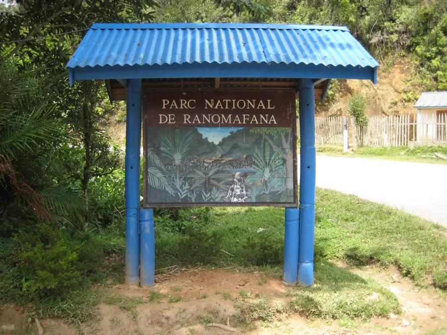
Sights nearby
Frequently asked questions
How far are the Ankaratra Mountains from Antananarivo?
Is the region good for hiking?
Are there water sources there?
What is the best season?
Is the area safe?
Ankaratra Mountains: where is it located?
Ankaratra Mountains: when is the best time to visit?
Ankaratra Mountains: why is it worth visiting?

Nearby cities


History & landmarks
More places