Plizio Visual Lab
Ambatolampy
ℹ️Practical info — Ambatolampy
▾
🌤 Weather — 5 days
📍 Nearby
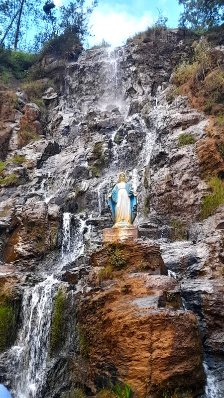
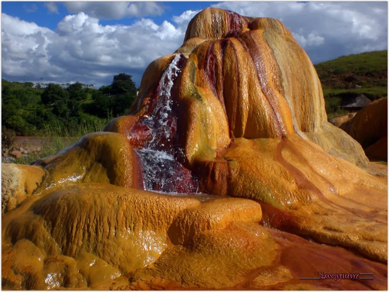
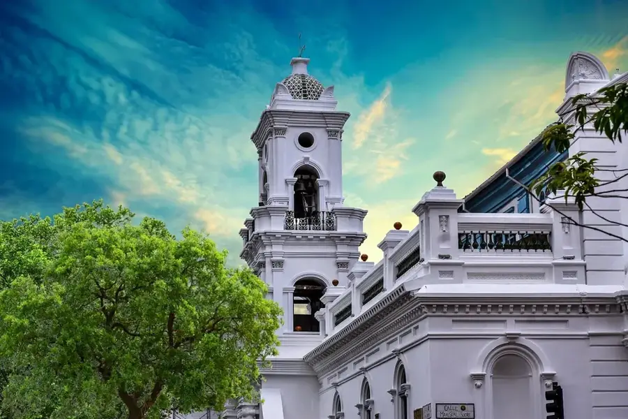
Sights nearby
💡 Tips
- Located in the highlands along the RN7, the climate is significantly cooler here; a warm jacket is essential.
- The town is famous for artisanal aluminum foundries; always ask respectfully before photographing the artisans at work.
- It is perfectly timed as a lunch stop if you are driving south from Antananarivo.
- The air can be smoky in certain neighborhoods due to the traditional open-air foundries.
🍽 Food
A local specialty sourced from highland streams, frequently served in town restaurants.
The traditional meat and mixed greens broth, readily available at most local hotelys.
A sweet snack made of peanuts and rice flour wrapped in banana leaves, sold by roadside vendors.
🛍 Shopping · 🧘 Quiet spots
The town's signature product; they make for an incredibly durable and practical souvenir.
Small decorative items skillfully crafted by local metalworkers explicitly for visitors.
The outskirts of town feature quiet, scenic pine plantations well-suited for a refreshing walk.
Take a walk towards the nearby mountain massif to enjoy the fresh highland air and total calm.
Water temperature…
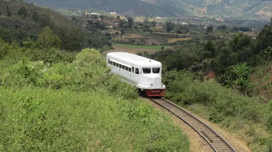
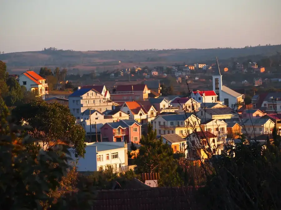
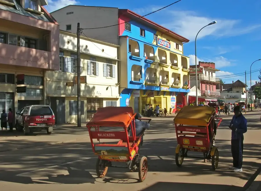
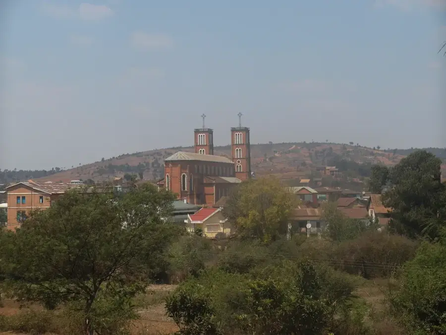
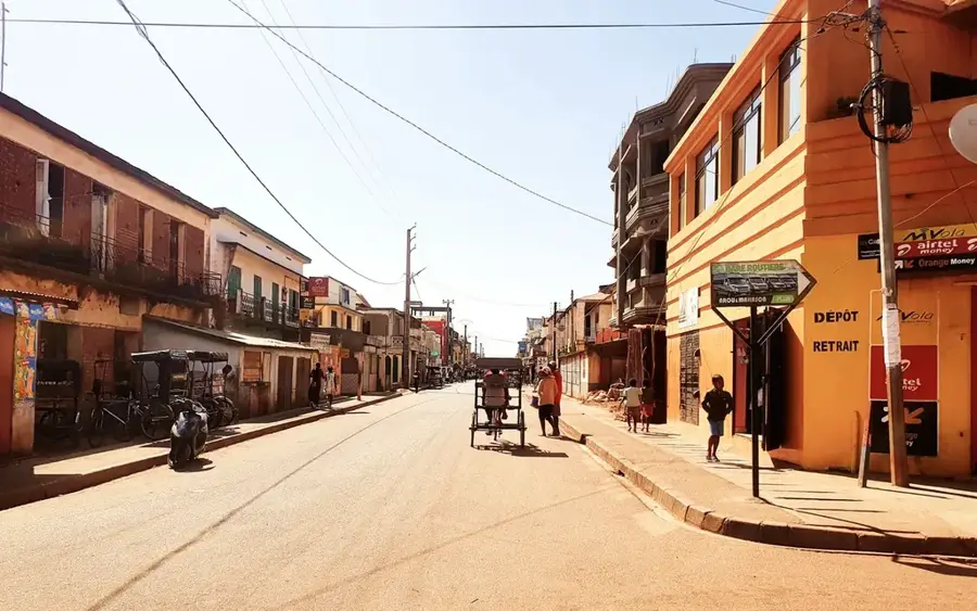
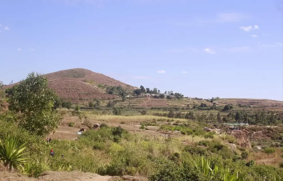
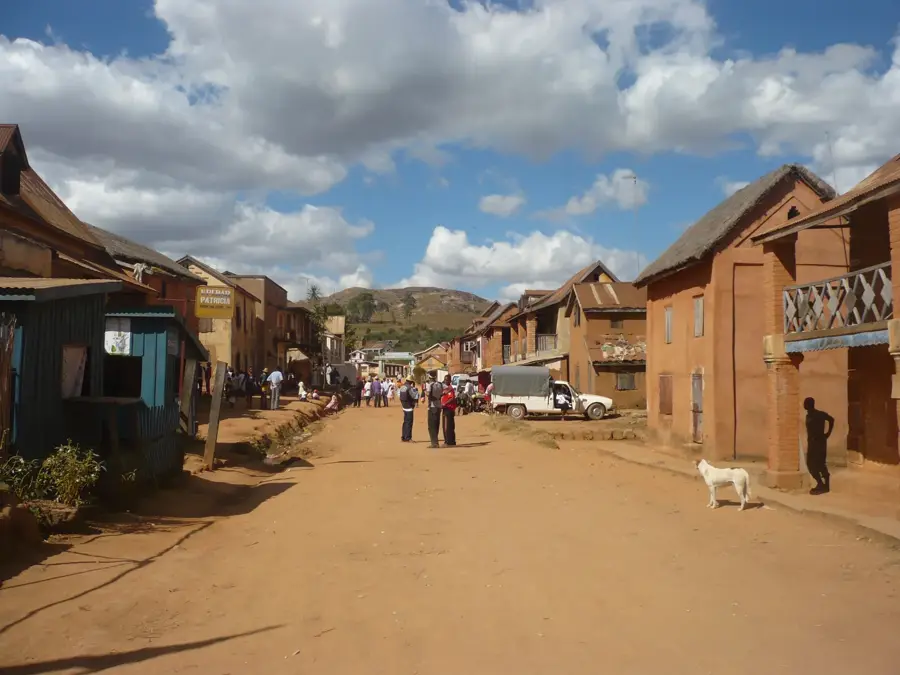
Ambatolampy is situated approximately 70 kilometers south of Antananarivo along National Road RN7, serving as a vital economic center for the northern Vakinankaratra region. The city is internationally famous for its traditional aluminum foundries, where artisans use recycled metal to cast the distinctive cooking pots used throughout Madagascar. Located at the base of the Ankaratra massif at an altitude of about 1,600 meters, the town enjoys a cool highland climate well-suited for forestry and temperate fruit cultivation. Historically, Ambatolampy flourished during the colonial era as a popular retreat for capital dwellers seeking fresh mountain air and respite from the heat. Today, the cityscape is characterized by yellow mimosa trees and numerous small-scale workshops, while the surrounding area features impressive rice terraces and pine forests. The town plays a pivotal role in the nation's supply of handcrafted metalware and high-altitude agricultural commodities.
- Location: Madagascar
- Top sights: Ambatolampy District · Ambatolampy Solar Power Station
- Nearby: Antanifotsy (23 km)
- Population: ~34.198 (2023)
Best time to visit & climate
The most pleasant time to visit is May, Sep, Oct.
| Jan | Feb | Mar | Apr | May | Jun | Jul | Aug | Sep | Oct | Nov | Dec | |
|---|---|---|---|---|---|---|---|---|---|---|---|---|
| Avg °C | 18 | 18 | 18 | 16 | 15 | 12 | 11 | 12 | 14 | 16 | 18 | 18 |
| Rain mm | 532 | 420 | 347 | 205 | 113 | 110 | 111 | 71 | 57 | 113 | 263 | 439 |
Geography
Facts
- Ambatolampy is the hub of Madagascar's traditional aluminum casting industry.
- The city is located on the RN7, the primary road connecting the capital to the south.
- At an altitude of 1,640 meters, it is one of the highest urban centers in the country.
- The Ankaratra massif to the west provides significant forestry and hiking resources.
- The town is renowned for trout farming in its cool mountain streams.
- The surrounding region is a major producer of potatoes and temperate fruits.
Explore nearby
Notable places around
Route planner — Car & Motorhome
Where do you start? We build the route here, with stops and country notes along the way.
© OpenStreetMap contributors · OpenRouteService
Sights in the town Ambatolampy (2)
Frequently asked questions
How long for Ambatolampy?
What is special here?
Can I visit the workshops?
Best time to visit?
Is it safe?
Ambatolampy: where is it located?
Ambatolampy: what is there to see?
Ambatolampy: when is the best time to visit?
Ambatolampy: why is it worth visiting?

Nearby cities


History & landmarks


More places