Plizio Visual Lab
Tsiafajavona

Weather…
Water temperature…
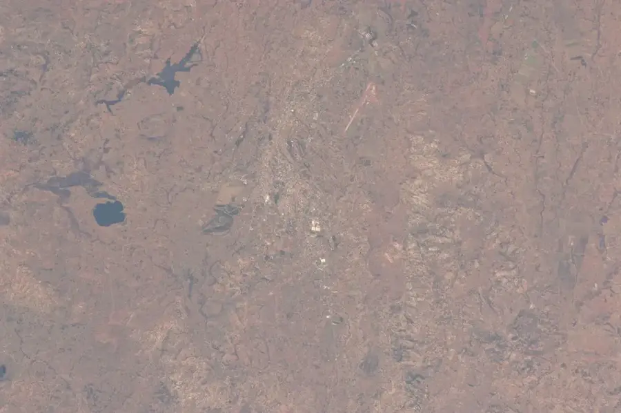
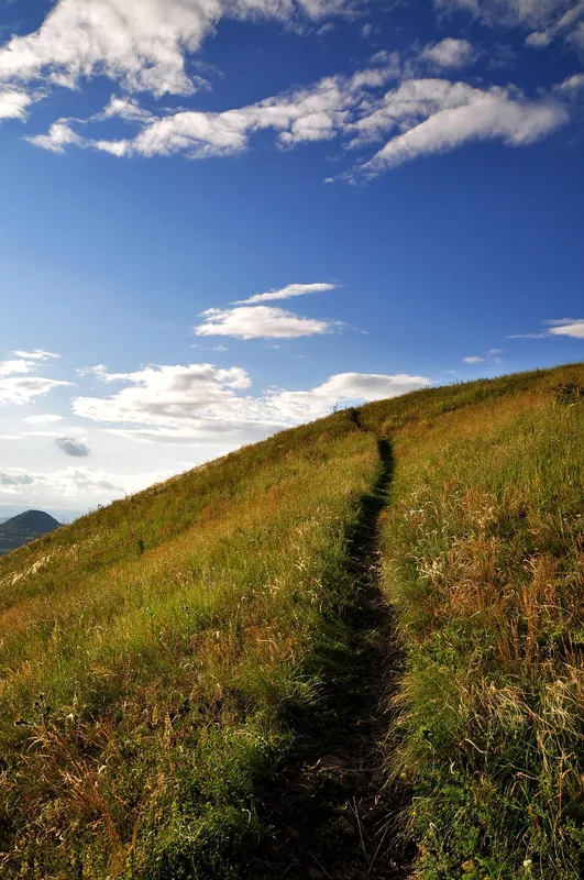
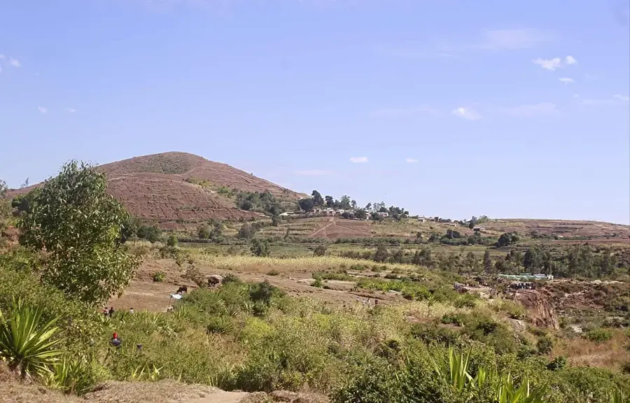
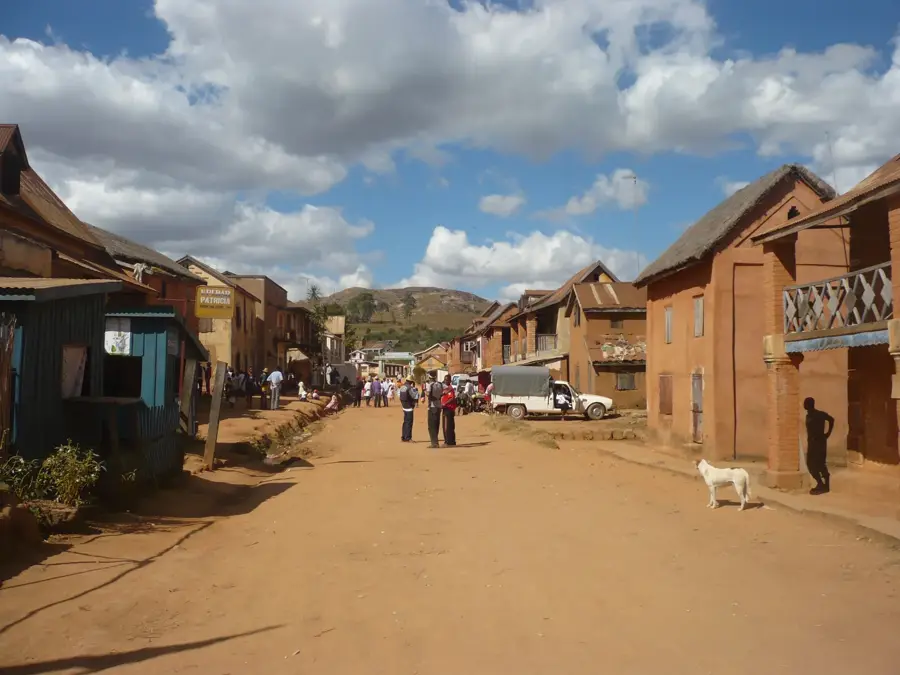
Tsiafajavona, standing at 2,642 meters, is the third highest peak in Madagascar and the highest point of the Ankaratra range. Its name in Malagasy means 'the place where it is never clear' or 'the place of eternal mist', a direct reference to the nearly constant cloud cover that envelops the summit. The mountain is volcanic in origin, primarily composed of dark volcanic rocks that have resisted erosion more effectively than the surrounding plateau. The region around the peak is characterized by sparse but ecologically significant mountain heathlands, reminiscent of alpine zones in Europe. During the winter months, temperatures here can drop near freezing, which is a rare occurrence on the tropical island. While the climb is not technically difficult, it requires preparation due to unpredictable weather and thinner air. On rare clear days, the summit gives panoramic views across the Central Highlands as far as Antananarivo. The mountain is also a site for local legends and traditional Malagasy rites.
- Location: Madagascar
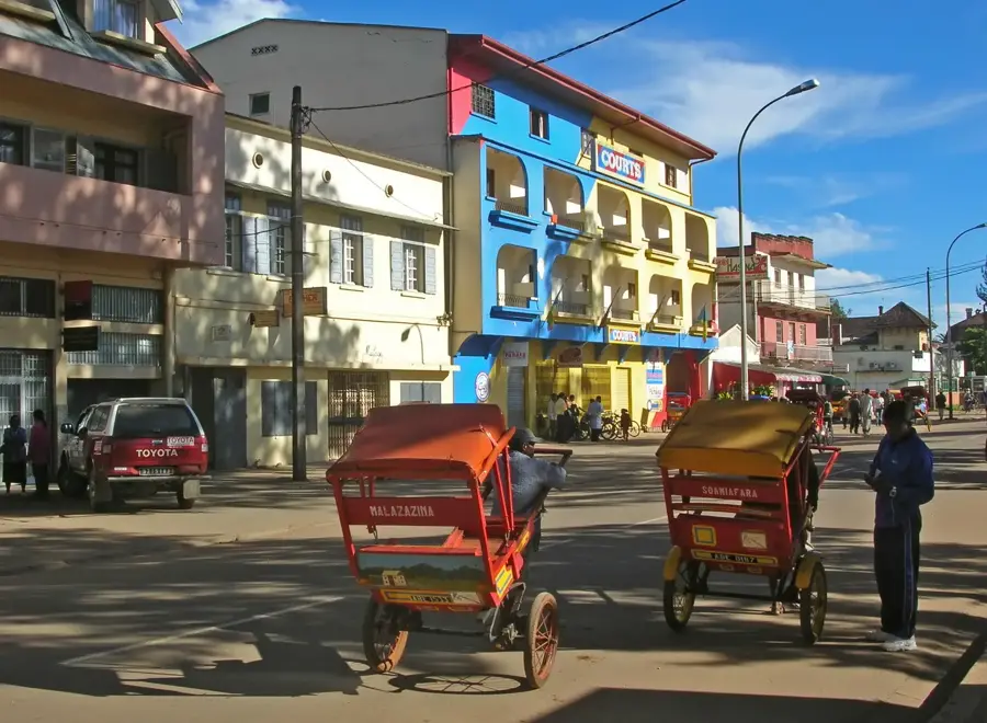
- Nearby: Ambatolampy (19 km)
Best time to visit & climate
The most pleasant time to visit is May, Sep, Oct.
| Jan | Feb | Mar | Apr | May | Jun | Jul | Aug | Sep | Oct | Nov | Dec | |
|---|---|---|---|---|---|---|---|---|---|---|---|---|
| Avg °C | 18 | 18 | 18 | 16 | 15 | 12 | 11 | 12 | 14 | 16 | 18 | 18 |
| Rain mm | 532 | 420 | 347 | 205 | 113 | 110 | 111 | 71 | 57 | 113 | 263 | 439 |
📋 Practical info
Geography
Facts
- Third highest peak on the island at 2,642 meters
- Name translates to 'place of eternal mist'
- Highest point of the Ankaratra Massif
- Composed of erosion-resistant volcanic rock
- Winter temperatures can drop to 0°C
- Popular hiking destination near the capital
Explore nearby
Notable places around
Route planner — Car & Motorhome
Where do you start? We build the route here, with stops and country notes along the way.
© OpenStreetMap contributors · OpenRouteService
Sights in the town Tsiafajavona (1)
Sights nearby
Frequently asked questions
How high is Tsiafajavona peak?
How long does the ascent take?
Is a guide necessary?
Can I camp at the top?
Do I need warm clothes?
Tsiafajavona: where is it located?
Tsiafajavona: when is the best time to visit?
Tsiafajavona: why is it worth visiting?

Nearby cities


History & landmarks
Nature
More places