Plizio Visual Lab
Maevatanana
ℹ️Practical info — Maevatanana
▾
🌤 Weather — 5 days
📍 Nearby
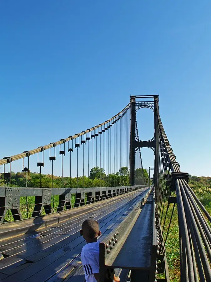
Sights nearby
💡 Tips
- As one of the hottest towns in the country, start your day very early and stay hydrated.
- Visit the local gold trading areas in the morning, but always ask before taking photos.
- Infrastructure is basic; carry enough cash (Ariary) as ATMs are scarce.
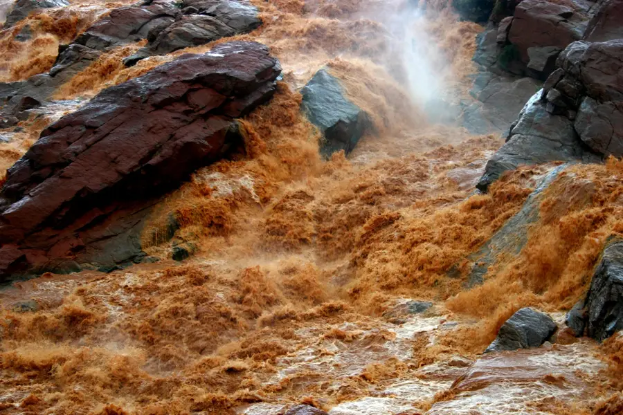
- The Ikopa river nearby features interesting views of the changing landscape.
🍽 Food
Mashed cassava leaves with pork, a hearty local favorite found in traditional hotelys.
Sweet rice and peanut cake steamed in banana leaves, well-suited for a quick snack at the market.
Buy fresh mangoes or lychees in season from the main street vendors.
🛍 Shopping · 🧘 Quiet spots
The town is famous for gold panning; you might see small-scale trading, but buying is for experts.
Bustling spot to buy local spices, basic supplies, and fresh produce.
Take a quiet stroll along the river just outside the main town center.
A shaded and peaceful spot to escape the midday heat.
Water temperature…
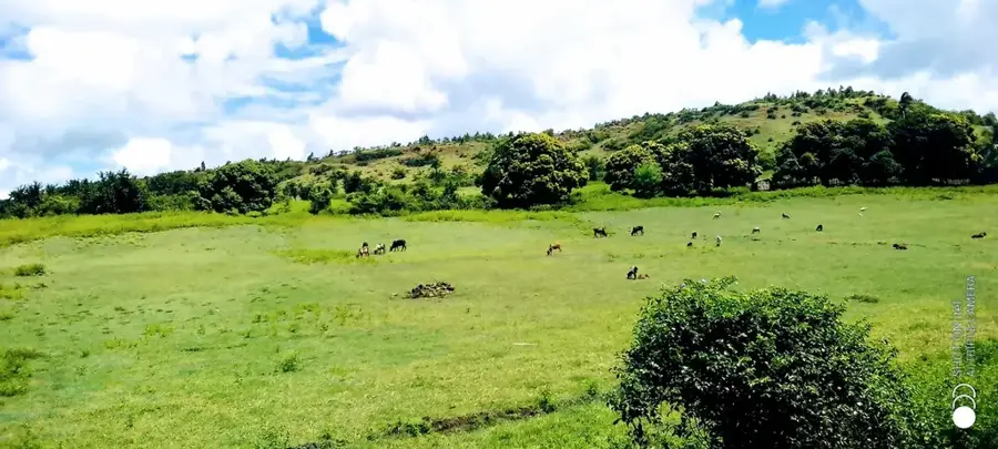
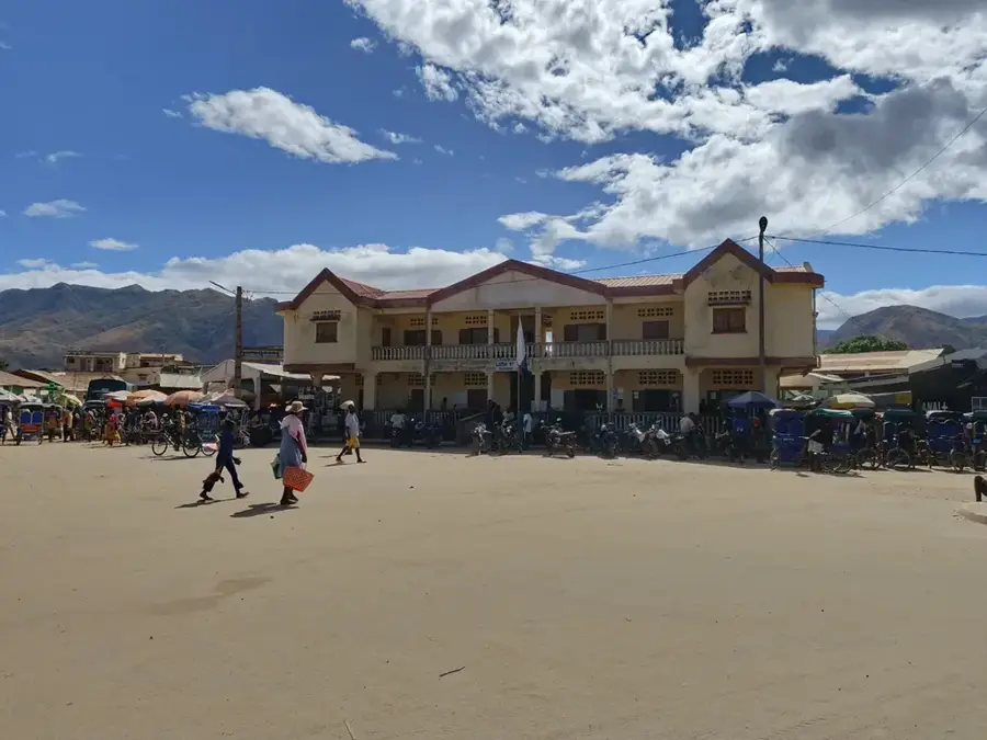
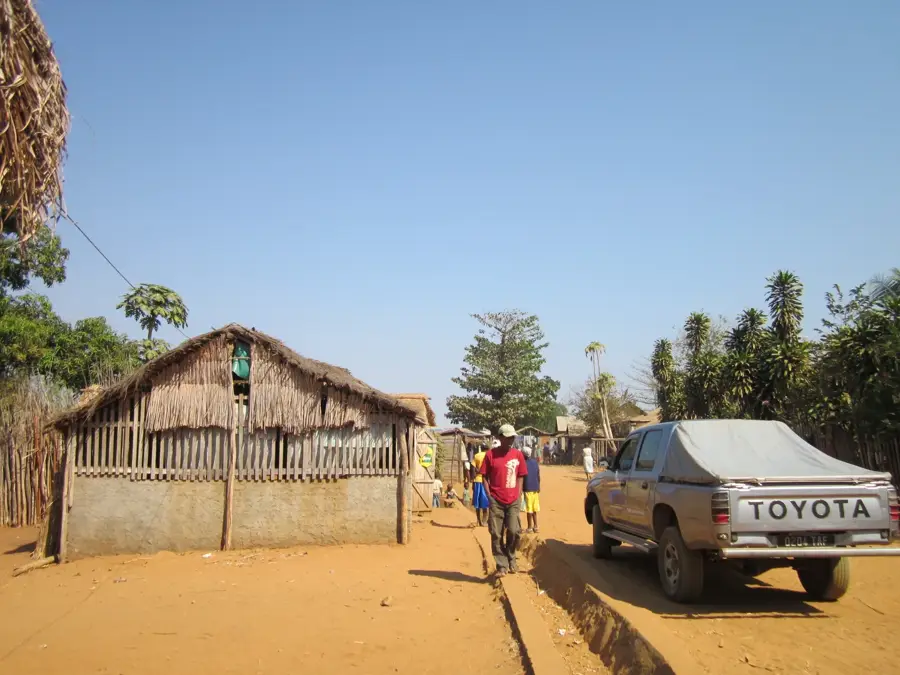
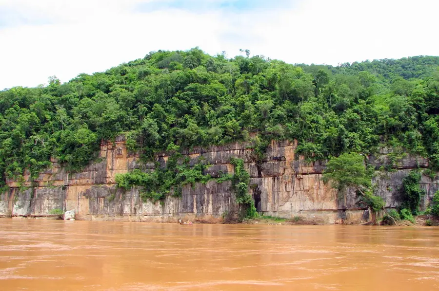
Maevatanana is located on the banks of the Betsiboka River in west-central Madagascar and is known for being one of the hottest towns in the country. Its name literally translates to 'the place where there is gold,' reflecting its long history as a center for alluvial gold mining. Geographically, it is notable for its proximity to the impressive Betsiboka Falls, where the river's iron-rich waters flow over red rock formations. As a key transit point on the National Road 4 (RN4), Maevatanana connects the capital, Antananarivo, with the western port city of Mahajanga. During the colonial era, the town was an important military outpost and administrative center for the western territories. Today, the local economy is supported by trade, rice cultivation in the fertile river valleys, and artisanal mining. Despite the extreme heat, the town remains a bustling commercial hub with spirited local markets. Maevatanana represents a unique intersection of Madagascar’s mining heritage and its vital inland transport networks.
- Location: Madagascar
- Top sights: Maevatanana II · Betsiboka
- Nearby: Ambatoboeny (52 km)
- Population: ~27.459 (2026)
Best time to visit & climate
The most pleasant time to visit is Jun–Aug.
| Jan | Feb | Mar | Apr | May | Jun | Jul | Aug | Sep | Oct | Nov | Dec | |
|---|---|---|---|---|---|---|---|---|---|---|---|---|
| Avg °C | 26 | 26 | 26 | 25 | 23 | 21 | 21 | 23 | 25 | 28 | 28 | 27 |
| Rain mm | 575 | 403 | 266 | 66 | 25 | 14 | 21 | 11 | 17 | 52 | 152 | 320 |
Geography
Facts
- Known as one of the hottest inhabited places in Madagascar
- The name Maevatanana means 'Place of Gold'
- Situated along the distinctive red waters of the Betsiboka River
- Crucial transit stop on the National Road 4 (RN4)
- Close to the spectacular rapids and falls of the Betsiboka
- Strategic military and administrative center in colonial history
Explore nearby
Notable places around
Route planner — Car & Motorhome
Where do you start? We build the route here, with stops and country notes along the way.
© OpenStreetMap contributors · OpenRouteService
Sights in the town Maevatanana (2)
Frequently asked questions
How long should I spend in Maevatanana?
When is the best time to visit?
How is the best way to get to Maevatanana?
Are there any local specialties?
Is it a family-friendly destination?
Maevatanana: where is it located?
Maevatanana: what is there to see?
Maevatanana: when is the best time to visit?
Maevatanana: why is it worth visiting?

Nearby cities


History & landmarks
Nature
More places