Plizio Visual Lab
Kandreho

ℹ️Practical info — Kandreho
▾
🌤 Weather — 5 days
📍 Nearby
Sights nearby
💡 Tips
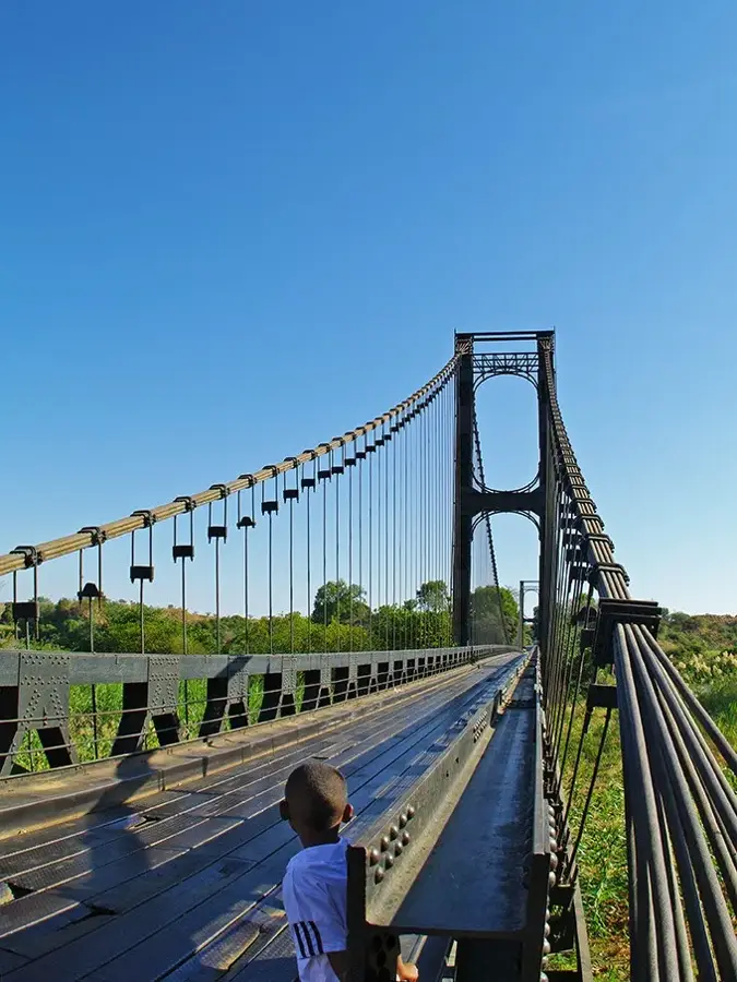
- Access to Kandreho can be challenging; a robust 4x4 or river transport is often necessary.
- Bring all essential supplies (medicine, specific foods) as local shops have limited stock.
- Learn a few words of Malagasy; French might not be spoken by everyone in such isolated areas.
- Travel during the dry season, as roads become impassable during heavy rains.
- Respect local 'fady' (taboos); always ask a local before visiting natural sites.
🍽 Food
A staple you can request at small local guesthouses (hotely).
A traditional dish often served with copious amounts of rice.
Available at the small village stalls depending on the season.
🛍 Shopping · 🧘 Quiet spots
Only basic necessities are available; buy from the small local shops.
Occasionally, villagers may sell woven items or simple wood carvings.
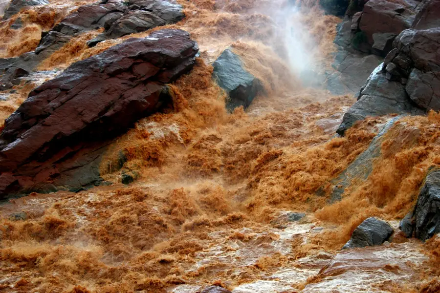
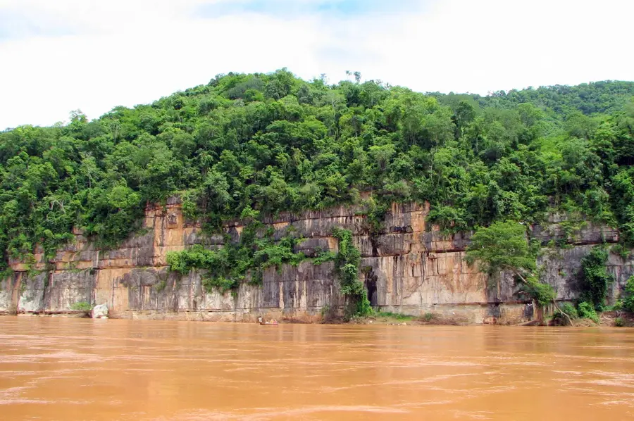
The nearby Mahavavy river area has tranquil walks (be mindful of crocodiles).
Just outside the settlement, the vast landscapes are incredibly peaceful.
Water temperature…
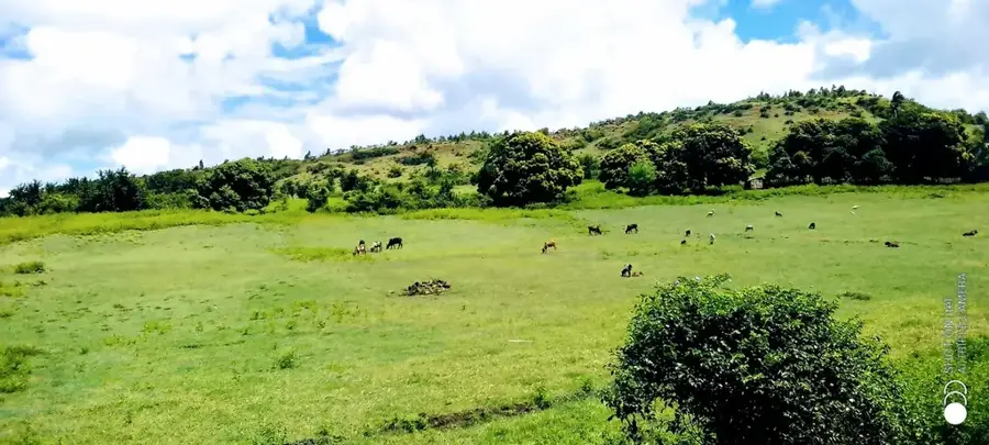
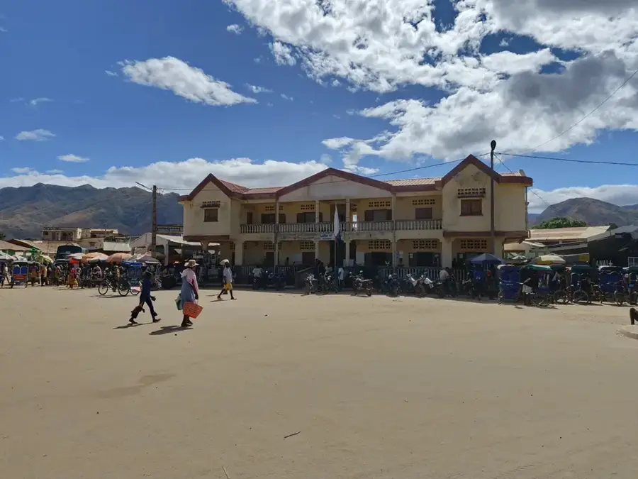
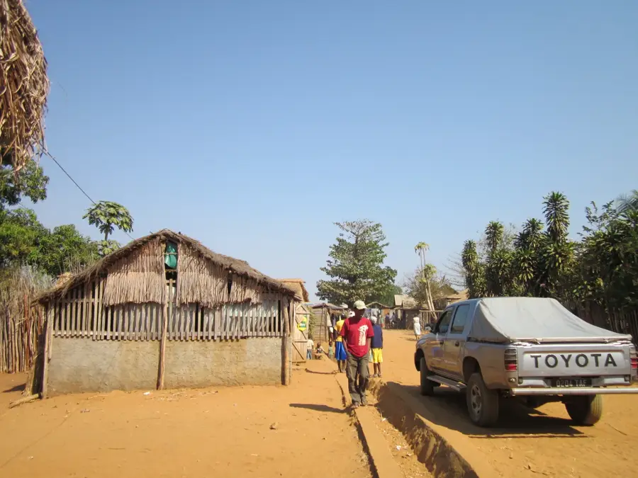
Kandreho is one of the most remote and sparsely populated settlements in Madagascar, located in the Betsiboka region in the northwestern part of the central highlands. The region's geography is characterized by rugged terrain and vast grass savannas, which makes access to the town extremely difficult, especially during the rainy season. Economically, life in Kandreho is based almost entirely on subsistence farming, with the cultivation of rice and corn, as well as small-scale livestock breeding, forming the basis of livelihood. The town serves as the administrative center for a district that has one of the lowest population densities in the country. In the immediate vicinity, there are significant forest reserves and untouched landscapes that boast high biodiversity, yet are hardly developed for tourism due to the lack of infrastructure. This isolation has meant that many traditional ways of life and customs in Kandreho have remained unchanged for decades. The town lies far from major national roads, underscoring its role as a quiet, isolated community hub.
Best time to visit & climate
The most pleasant time to visit is Jun–Aug.
| Jan | Feb | Mar | Apr | May | Jun | Jul | Aug | Sep | Oct | Nov | Dec | |
|---|---|---|---|---|---|---|---|---|---|---|---|---|
| Avg °C | 25 | 25 | 25 | 24 | 22 | 21 | 20 | 22 | 25 | 27 | 27 | 26 |
| Rain mm | 517 | 359 | 264 | 72 | 25 | 12 | 19 | 11 | 21 | 65 | 166 | 313 |
Geography
Facts
- Kandreho is the administrative seat of the most sparsely populated district in Betsiboka.
- The town is situated in a zone characterized by difficult, mountainous terrain.
- Access to the town during the rainy season is often only possible on foot or by air.
- Subsistence farming of rice and maize is the primary source of income.
- The region is known for its untouched forest areas and biodiversity.
- Kandreho is located off the national power grid and relies on local solutions.
Explore nearby
Notable places around
Route planner — Car & Motorhome
Where do you start? We build the route here, with stops and country notes along the way.
© OpenStreetMap contributors · OpenRouteService
Sights in the town Kandreho (1)
Frequently asked questions
How long to stay?
When to visit?
How to get there?
Are there sights?
Safe?
Kandreho: where is it located?
Kandreho: when is the best time to visit?
Kandreho: why is it worth visiting?

Nearby cities


History & landmarks
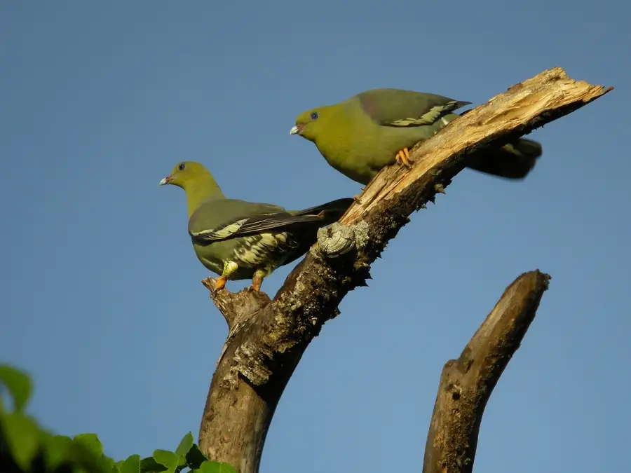
Nature
More places