Plizio Visual Lab
Ambatoboeny

ℹ️Practical info — Ambatoboeny
▾
🌤 Weather — 5 days
📍 Nearby
Sights nearby
💡 Tips
- The climate here is hot and dusty, so wear light, breathable clothing during your stay.
- It serves as an agricultural trading hub; always carry cash (Ariary) as ATMs are extremely scarce.
- Transport relies heavily on taxi-brousses (bush taxis); book your seat early in the morning for journeys to Mahajanga.
- Avoid traveling on rural dirt roads after dark due to poor road conditions and limited lighting.
🍽 Food
Sweet Malagasy rice cakes that are best bought from street vendors early in the morning.
Zebu meat skewers typically grilled at smoke-filled street stalls in the evenings.
Rice served with beans and sometimes pork, a filling staple available at local eateries.
🛍 Shopping · 🧘 Quiet spots
Look for raw vanilla and cloves at the main market where agricultural goods are traded.
Practical and handmade bags crafted from raffia, commonly sold at the central stalls.
A calm place on the edge of town to observe local agriculture and daily life away from the busy market.
The courtyards of local churches often provide a quiet, shaded resting spot during the heat of the day.
Water temperature…
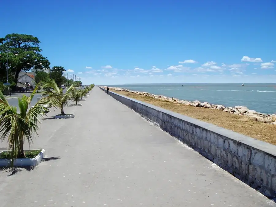
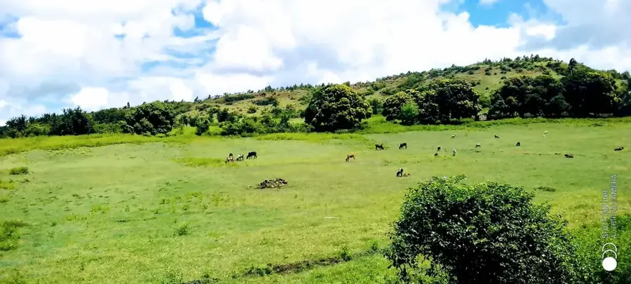
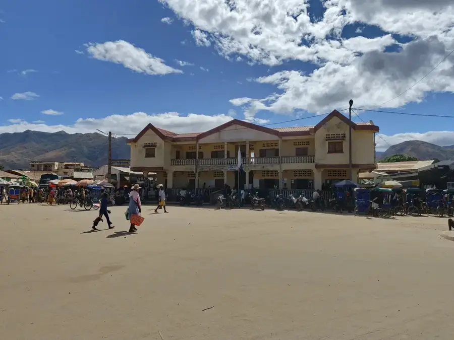
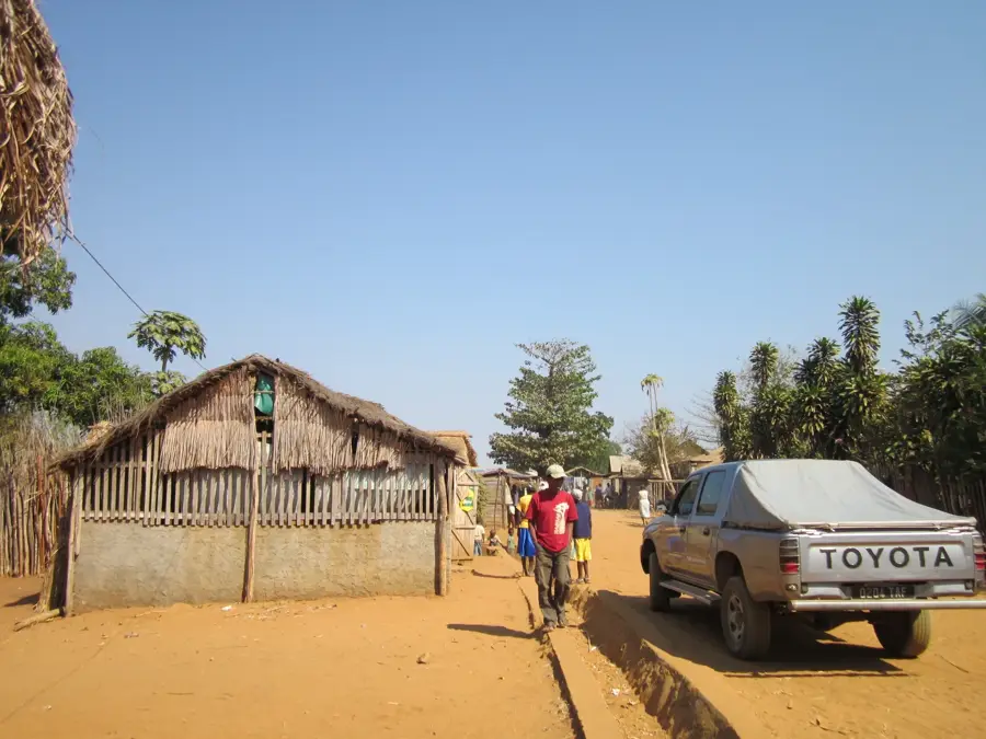
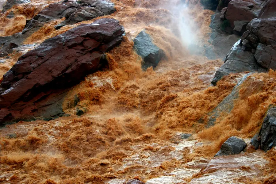
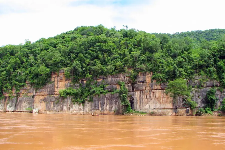
Ambatoboeny is a central town in the Boeny region of northwestern Madagascar, scenicly located on the banks of the mighty Betsiboka River. The town serves as a vital agricultural hub, particularly renowned for its large-scale rice cultivation and tobacco production. Situated in the fertile floodplains of the Betsiboka, Ambatoboeny acts as a breadbasket for the entire regional area. Historically, it was an important river port for traders navigating between the coastal city of Mahajanga and the inland territories. Geographically, the landscape is defined by vast alluvial plains and the characteristic reddish tint of the river's water, a result of siltation and erosion from the highlands. The town is a significant stop along the RN4 national road, the primary highway connecting Antananarivo with the northwest coast. With a population of about 25,000 in the urban center, Ambatoboeny balances rural traditions with a growing role in regional commerce. The local culture is heavily influenced by the Sakalava people, whose heritage remains integral to the town's social fabric.
- Location: Madagascar
- Nearby: Maevatanana (52 km)
- Population: ~35.432 (2023)
Best time to visit & climate
The most pleasant time to visit is Jun–Aug.
| Jan | Feb | Mar | Apr | May | Jun | Jul | Aug | Sep | Oct | Nov | Dec | |
|---|---|---|---|---|---|---|---|---|---|---|---|---|
| Avg °C | 26 | 26 | 26 | 25 | 24 | 22 | 22 | 24 | 27 | 29 | 29 | 27 |
| Rain mm | 539 | 345 | 245 | 76 | 23 | 15 | 24 | 12 | 16 | 46 | 151 | 286 |
Geography
Facts
- Ambatoboeny is positioned on the banks of the Betsiboka River.
- The town is a significant center for tobacco and rice agriculture.
- It is located on the RN4, the main route between the capital and Mahajanga.
- The urban population is approximately 25,000 residents.
- The fertile river valley supports multiple harvest cycles per year.
- The town acts as a key administrative center for the surrounding rural districts.
Explore nearby
Notable places around
Route planner — Car & Motorhome
Where do you start? We build the route here, with stops and country notes along the way.
© OpenStreetMap contributors · OpenRouteService
Frequently asked questions
How long to spend in Ambatoboeny?
When is best to visit?
How to get to Ambatoboeny?
Is there local cuisine?
Is the place family-friendly?
Ambatoboeny: where is it located?
Ambatoboeny: when is the best time to visit?
Ambatoboeny: why is it worth visiting?

Nearby cities


History & landmarks
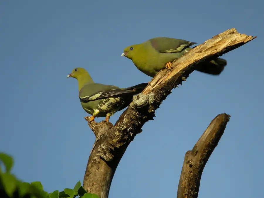
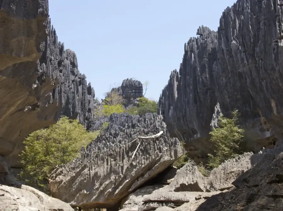
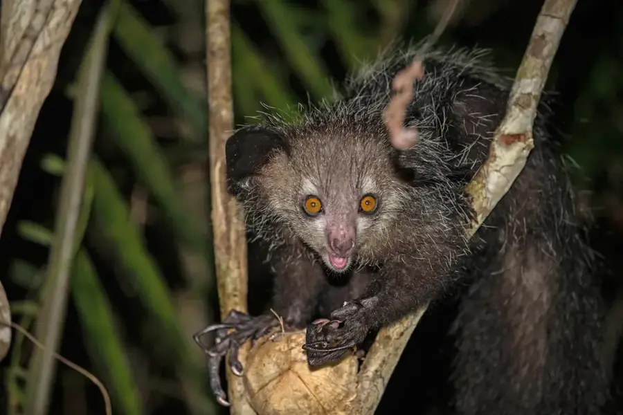
Nature
More places