Plizio Visual Lab
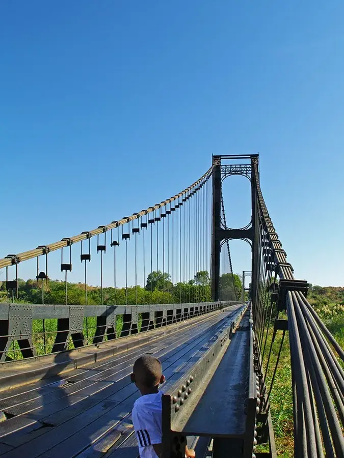
Betsiboka Bridge
Weather…
Water temperature…
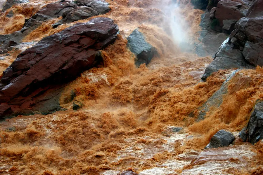
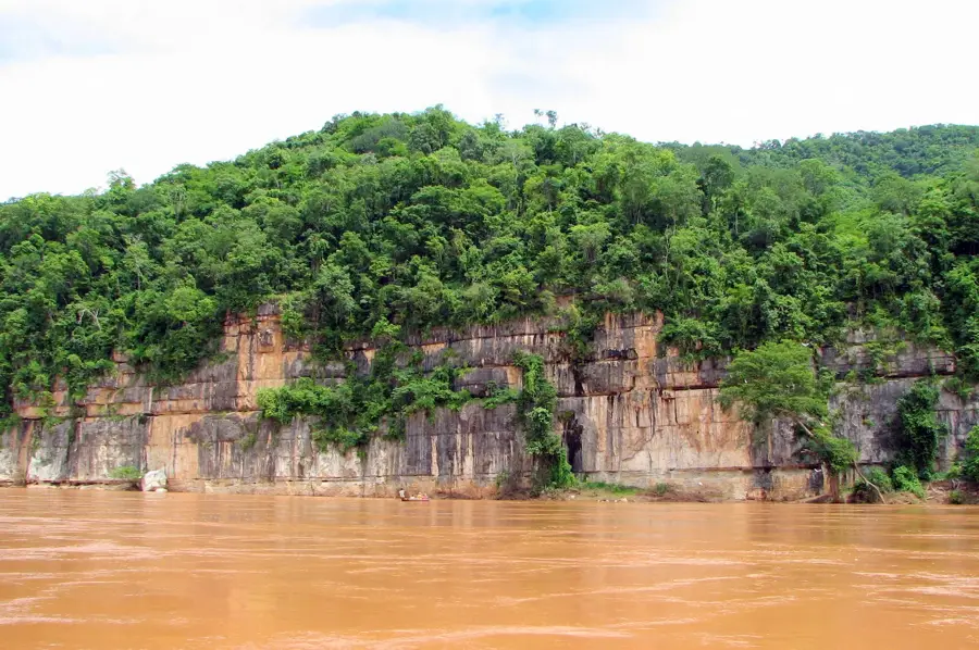
The Betsiboka Bridge is an impressive engineering feat located on the RN4 national road near Maevatanana. It spans the Betsiboka River, which is internationally famous for its distinct reddish-brown water caused by heavy siltation and soil erosion. The original bridge was constructed in the 1930s in the style of Gustave Eiffel and was once among the longest suspension bridges on the island. During World War II in 1942, the bridge was destroyed by Vichy French forces to hinder the British advance, but it was later rebuilt to restore the vital link. The current steel structure is a critical artery for land transport between Antananarivo and the northwestern port city of Mahajanga. Its design reflects the functionalist aesthetic of the colonial era, built to withstand the extreme hydraulic pressure during the rainy season. For travelers, the bridge features a panoramic vantage point to witness the river's immense scale and the surrounding savannah landscape.
- Location: Madagascar
- Nearby: Ambatoboeny (32 km)
Best time to visit & climate
The most pleasant time to visit is Jun–Aug.
| Jan | Feb | Mar | Apr | May | Jun | Jul | Aug | Sep | Oct | Nov | Dec | |
|---|---|---|---|---|---|---|---|---|---|---|---|---|
| Avg °C | 27 | 26 | 26 | 26 | 24 | 23 | 23 | 24 | 27 | 29 | 29 | 28 |
| Rain mm | 511 | 340 | 245 | 76 | 25 | 16 | 21 | 11 | 14 | 40 | 129 | 266 |
📋 Practical info
Geography
Facts
- The bridge is located on the RN4, the primary highway connecting the capital to the north.
- It spans the Betsiboka, Madagascar's largest river by discharge volume.
- The original structural design was produced by Gustave Eiffel's engineering firm.
- In 1942, the bridge was sabotaged to prevent Allied forces from reaching Antananarivo.
- The river's red hue visible from the bridge is a result of extensive upstream erosion.
- It serves as a vital infrastructure link for the transport of goods to Mahajanga.
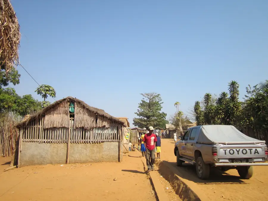
Explore nearby
Notable places around
Route planner — Car & Motorhome
Where do you start? We build the route here, with stops and country notes along the way.
© OpenStreetMap contributors · OpenRouteService
Sights nearby
Frequently asked questions
Is the bridge worth seeing?
Can you walk across it?
What is the view of the river like?
Are there parking spaces?
When is the best moment?
Betsiboka Bridge: where is it located?
Betsiboka Bridge: when is the best time to visit?
Betsiboka Bridge: why is it worth visiting?

Nearby cities


History & landmarks
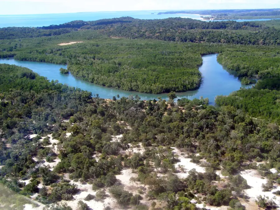
Nature
More places