Plizio Visual Lab
Manongarivo Massif

Weather…
Water temperature…
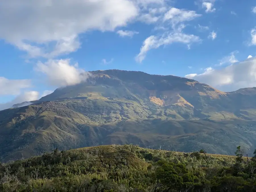
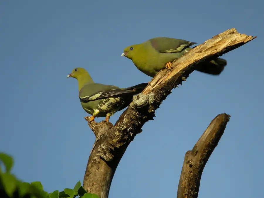
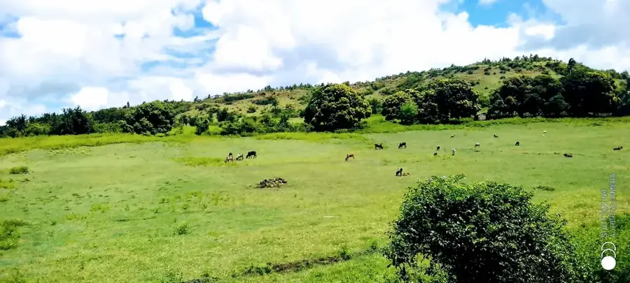
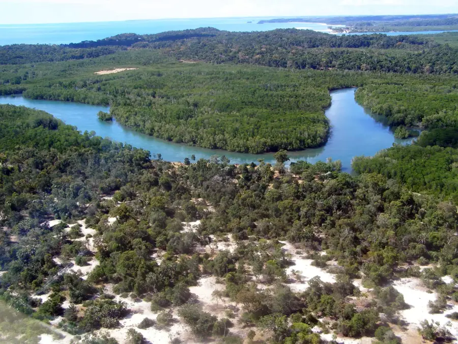
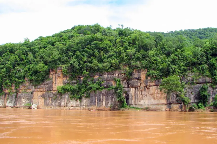
The Manongarivo Massif in northwestern Madagascar is a vital special reserve protecting one of the region's last remaining intact montane rainforests. The range rises steeply from the coastal lowlands to elevations approaching 1,900 meters, creating a diverse range of microclimates along its slopes. Geologically, the massif is composed of a complex mix of volcanic and metamorphic rocks that have been eroded into deep canyons and numerous waterfalls. This isolated mountain environment supports high levels of endemism, providing a sanctuary for rare lemurs and a variety of bird species unique to the Sambirano domain. Historically, the massif served as an ecological buffer for the Sambirano rainforest, which has been largely cleared for agriculture at lower elevations. Today, the reserve acts as a critical watershed for local agriculture, feeding the river systems that sustain cocoa and ylang-ylang plantations. The continued protection of Manongarivo is essential for regional biodiversity.
- Location: Madagascar
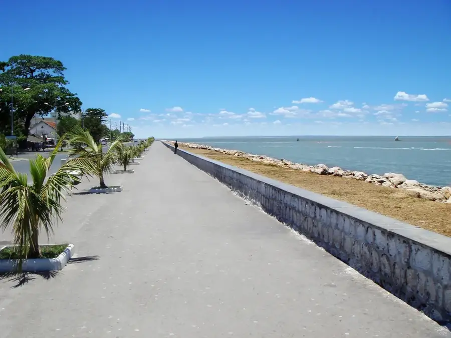
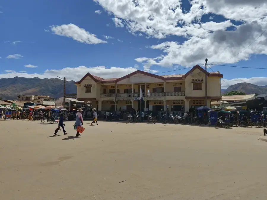
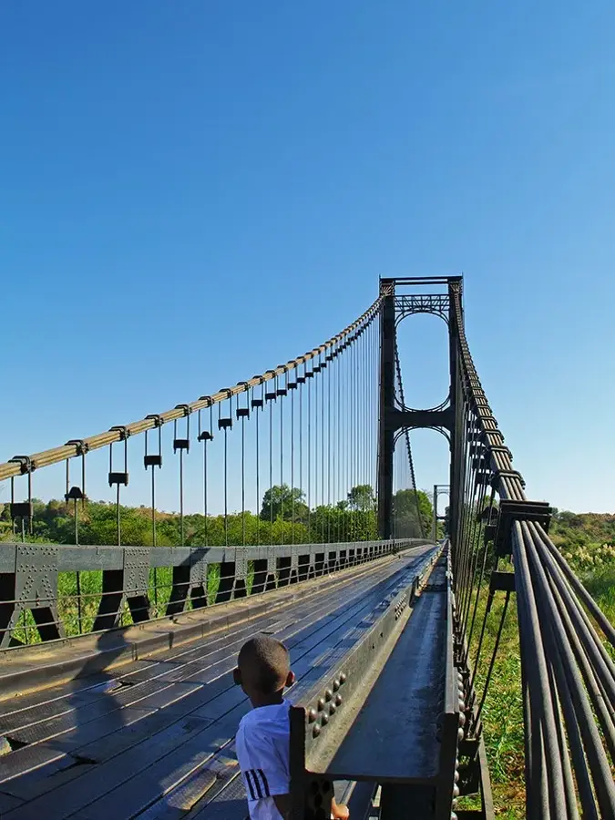
- Nearby: Ambanja (27 km)
Best time to visit & climate
The most pleasant time to visit is May, Aug, Sep.
| Jan | Feb | Mar | Apr | May | Jun | Jul | Aug | Sep | Oct | Nov | Dec | |
|---|---|---|---|---|---|---|---|---|---|---|---|---|
| Avg °C | 22 | 22 | 22 | 22 | 20 | 19 | 18 | 19 | 20 | 22 | 23 | 23 |
| Rain mm | 504 | 394 | 384 | 126 | 56 | 35 | 28 | 26 | 31 | 52 | 167 | 367 |
📋 Practical info
Geography
Facts
- The massif's highest peak reaches an elevation of 1,876 meters above sea level.
- Manongarivo was officially established as a special reserve in 1956.
- The protected area covers approximately 32,735 hectares of land.
- Annual rainfall within the massif can exceed 2,000 mm per year.
- The region is the primary habitat for the rare Manongarivo lemur species.
- The mountain range serves as the headwaters for the Sambirano River.
Explore nearby
Notable places around
Route planner — Car & Motorhome
Where do you start? We build the route here, with stops and country notes along the way.
© OpenStreetMap contributors · OpenRouteService
Sights nearby
Frequently asked questions
Is Manongarivo-Massiv family friendly?
Do I need a local guide?
What should I consider when traveling here?
What gear is needed for the massif?
How long is a typical hike?
Manongarivo Massif: where is it located?
Manongarivo Massif: when is the best time to visit?
Manongarivo Massif: why is it worth visiting?

Nearby cities


History & landmarks
Nature
More places