Plizio Visual Lab
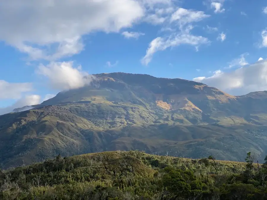
Tsaratanana Foothills
Weather…
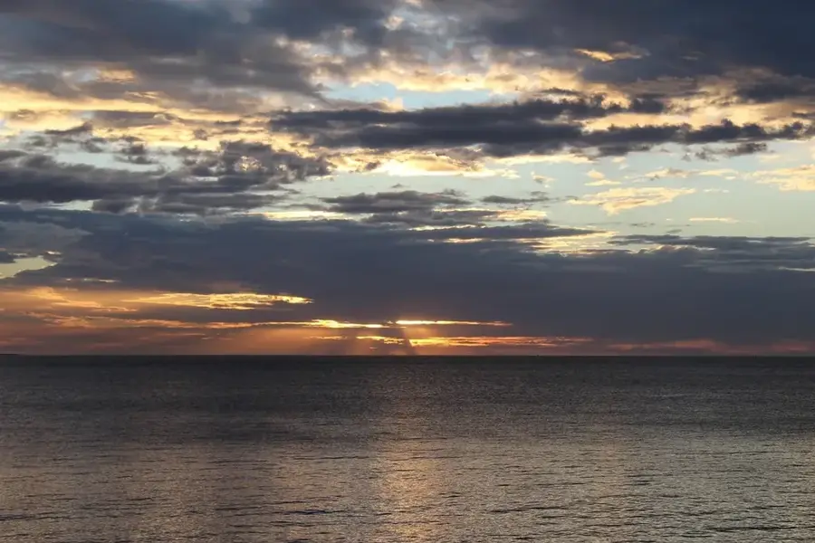
Water temperature…
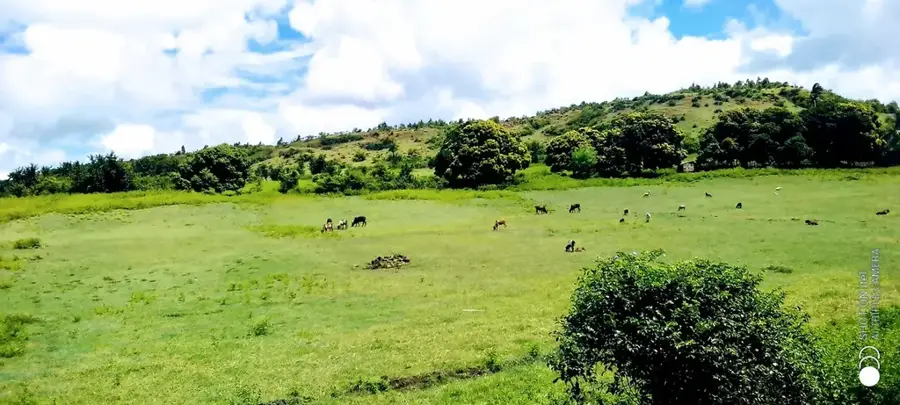
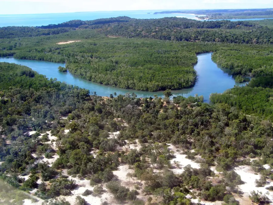
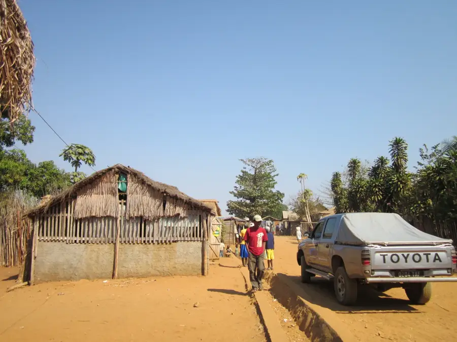
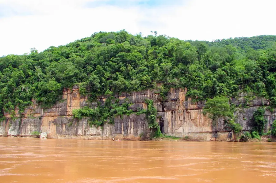
The foothills of the Tsaratanana Massif in northern Madagascar form the gateway to the island's highest mountain range. This region is defined by steep, rugged terrain, dense montane rainforests, and a complex network of river headwaters that supply essential water to much of northern Madagascar. The massif itself contains the nation's highest peak, Maromokotro. Due to its extreme isolation and its status as a strict nature reserve, Tsaratanana remains one of the least explored biological frontiers in Madagascar. The foothills function as a vital ecological corridor, hosting numerous endemic species specially adapted to the cool and humid high-altitude conditions. Historically, the formidable nature of the range made it a place of myth and spiritual significance for local communities. Today, conserving this area is a priority for international environmental organizations seeking to safeguard its unique biodiversity against the impacts of global climate change.
- Location: Madagascar
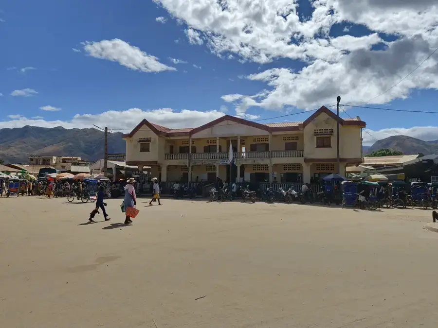
- Nearby: Ambanja (50 km)
Best time to visit & climate
The most pleasant time to visit is May, Aug, Sep.
| Jan | Feb | Mar | Apr | May | Jun | Jul | Aug | Sep | Oct | Nov | Dec | |
|---|---|---|---|---|---|---|---|---|---|---|---|---|
| Avg °C | 22 | 22 | 22 | 22 | 20 | 19 | 18 | 19 | 20 | 22 | 23 | 23 |
| Rain mm | 504 | 394 | 384 | 126 | 56 | 35 | 28 | 26 | 31 | 52 | 167 | 367 |
📋 Practical info
Geography
Facts
- Maromokotro, the highest point in the massif, stands at 2,876 meters.
- The area has been protected as a strict nature reserve since 1927.
- It serves as the source for major rivers including the Mahajamba and Sambirano.
- Public access is officially prohibited; only sanctioned scientific research is allowed.
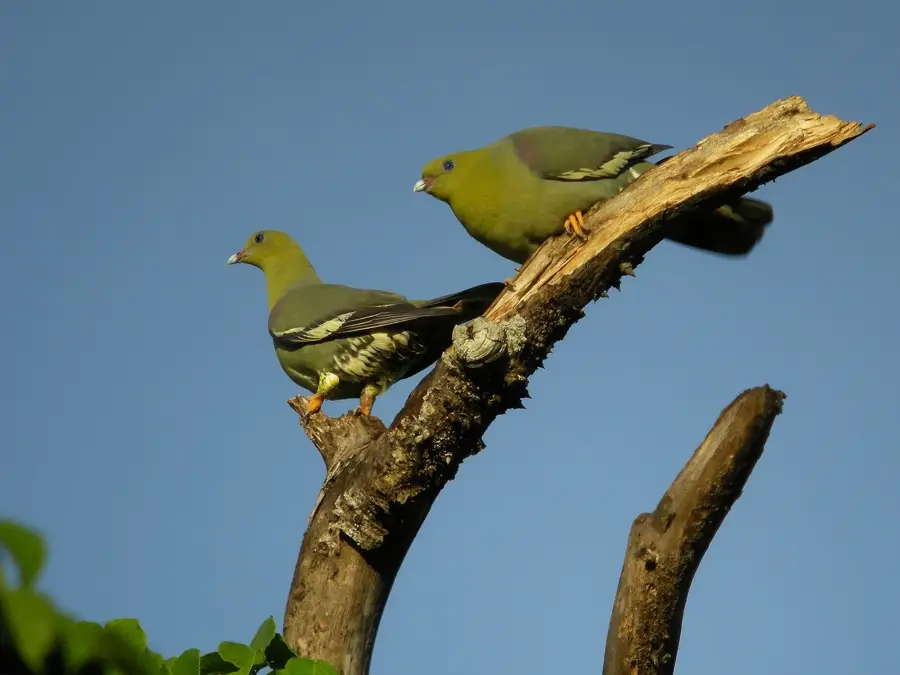
- Biologists have discovered rare amphibians that only occur above 2,000 meters.
- The Tsaratanana reserve encompasses a total area of approximately 48,622 hectares.
Explore nearby
Notable places around
Route planner — Car & Motorhome
Where do you start? We build the route here, with stops and country notes along the way.
© OpenStreetMap contributors · OpenRouteService
Sights nearby
Frequently asked questions
Is the area easily accessible?
Are there marked trails?
Which season is ideal for the foothills?
Are there accommodations nearby?
Is photography allowed in the region?
Tsaratanana Foothills: where is it located?
Tsaratanana Foothills: when is the best time to visit?
Tsaratanana Foothills: why is it worth visiting?

Nearby cities


History & landmarks
Nature
More places