Plizio Visual Lab
Maromokotro
Weather…
Water temperature…
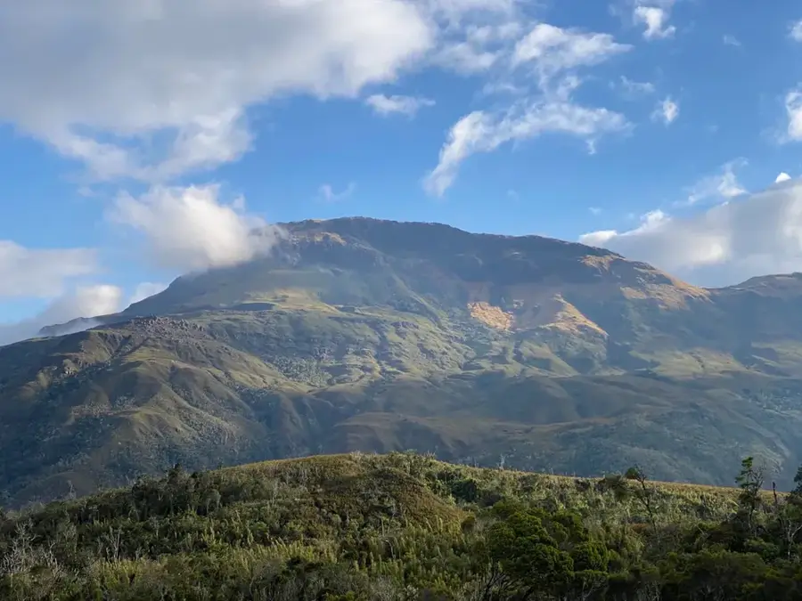
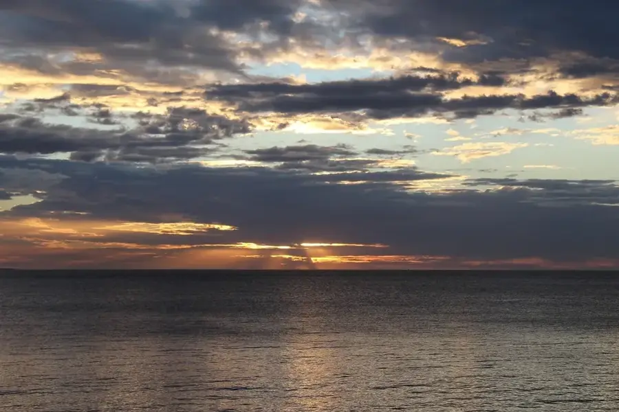
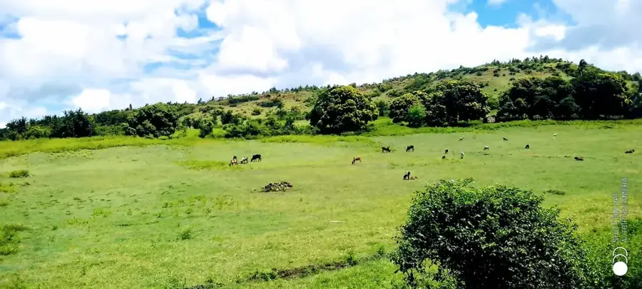
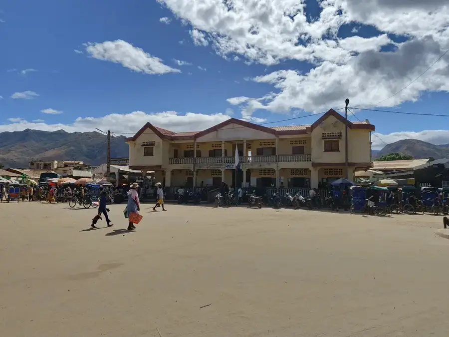
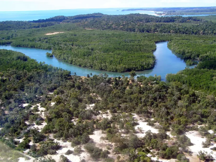
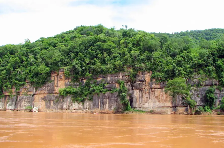
Maromokotro is the highest peak in Madagascar, reaching an elevation of 2,876 meters above sea level within the Tsaratanana Massif in the north. This extinct volcanic cone presides over a vast and nearly impenetrable wilderness, making it one of the most difficult points to reach on the entire island. The name Maromokotro translates locally as 'many stones' or 'place of many obstacles', aptly describing the rugged nature of the terrain. Reaching the summit is a significant logistical feat, typically requiring a two-week trekking expedition starting from the town of Ambanja. Botanically, the mountain is of immense value as vegetation zones transition from tropical rainforest to montane cloud forest and finally to alpine heathlands with increasing altitude. The summit experiences a harsh climate, with nighttime temperatures frequently dropping below freezing. For many local communities, the mountain holds a sacred status, adding deep cultural significance to its geographic prominence.
- Location: Madagascar
- Nearby: Ambilobe (61 km)
Best time to visit & climate
The most pleasant time to visit is May, Aug, Sep.
| Jan | Feb | Mar | Apr | May | Jun | Jul | Aug | Sep | Oct | Nov | Dec | |
|---|---|---|---|---|---|---|---|---|---|---|---|---|
| Avg °C | 22 | 22 | 22 | 22 | 20 | 19 | 18 | 19 | 20 | 22 | 23 | 23 |
| Rain mm | 504 | 394 | 384 | 126 | 56 | 35 | 28 | 26 | 31 | 52 | 167 | 367 |
📋 Practical info
Geography
Facts
- Highest point in Madagascar at 2,876 meters
- Located within the Tsaratanana Reserve
- Consists of an extinct volcanic cone
- Expeditions typically take 10 to 14 days
- Nighttime frost is common during the dry season
- First scientific measurement taken in 1936
Explore nearby
Notable places around
Route planner — Car & Motorhome
Where do you start? We build the route here, with stops and country notes along the way.
© OpenStreetMap contributors · OpenRouteService
Sights in the town Maromokotro (1)
Sights nearby
Frequently asked questions
Is Maromokotro the highest mountain?
How long does the climb take?
Do I need special equipment?
How is access regulated?
Are there risks?
Maromokotro: where is it located?
Maromokotro: when is the best time to visit?
Maromokotro: why is it worth visiting?

Nearby cities


History & landmarks
Nature
More places