Plizio Visual Lab
Tsaratanana Massif

Weather…
Water temperature…
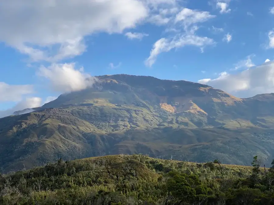
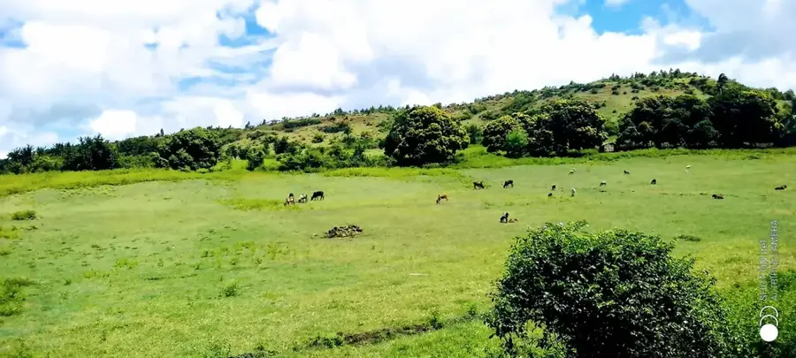
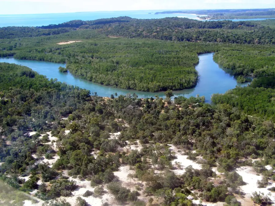
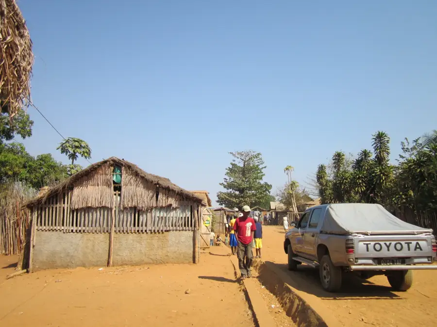
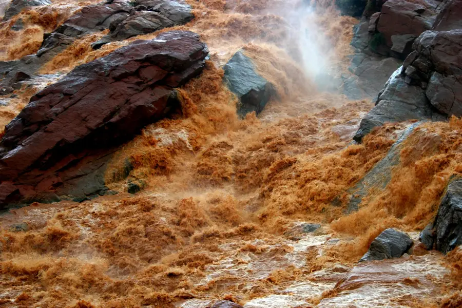
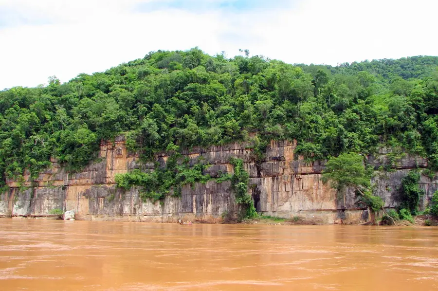
The Tsaratanana Massif in northern Madagascar is a massive mountain range of volcanic origin, hosting the island's highest elevations. The region is characterized by a cool, often misty climate that has fostered the development of unique alpine-style vegetation within a tropical context. This massif is of central importance for the northern region's water supply, as numerous major rivers originate here to irrigate the surrounding lowlands. Geologically, it consists of ancient volcanic rocks shaped by erosion over millions of years, resulting in rugged peaks and deep, secluded valleys. Due to its extreme inaccessibility, the flora and fauna have remained largely pristine, with many endemic species found exclusively at these high altitudes. Reaching its summits requires complex logistics and multi-day expeditions through dense rainforests and mountain heaths. The Tsaratanana Massif is protected as a Strict Nature Reserve to ensure its ecological integrity and prevent human encroachment.
- Location: Madagascar
- Nearby: Ambanja (50 km)
Best time to visit & climate
The most pleasant time to visit is May, Aug, Sep.
| Jan | Feb | Mar | Apr | May | Jun | Jul | Aug | Sep | Oct | Nov | Dec | |
|---|---|---|---|---|---|---|---|---|---|---|---|---|
| Avg °C | 22 | 22 | 22 | 22 | 20 | 19 | 18 | 19 | 20 | 22 | 23 | 23 |
| Rain mm | 504 | 394 | 384 | 126 | 56 | 35 | 28 | 26 | 31 | 52 | 167 | 367 |
📋 Practical info
Geography
Facts
- Contains the highest mountain in Madagascar
- Formed by volcanic activity during the Cenozoic
- Primary watershed for the northern plains
- Protected as a Strict Nature Reserve
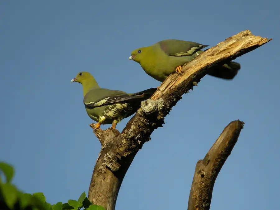
- Home to rare high-altitude endemic lemurs
- Receives some of the highest rainfall on the island
Explore nearby
Notable places around
Route planner — Car & Motorhome
Where do you start? We build the route here, with stops and country notes along the way.
© OpenStreetMap contributors · OpenRouteService
Sights nearby
Frequently asked questions
What is the height of the Tsaratanana Massif?
Is the climb suitable for beginners?
How is the weather at the summit?
When is the best time for an expedition?
Are there accommodations nearby?
Tsaratanana Massif: where is it located?
Tsaratanana Massif: when is the best time to visit?
Tsaratanana Massif: why is it worth visiting?

Nearby cities


History & landmarks
Nature
More places