Plizio Visual Lab
Tsitondroina
Weather…
Water temperature…
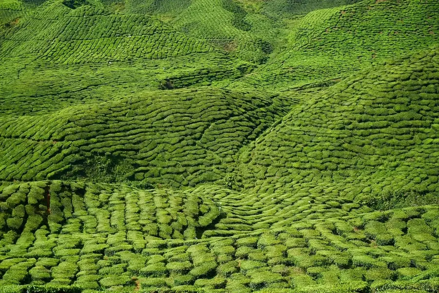
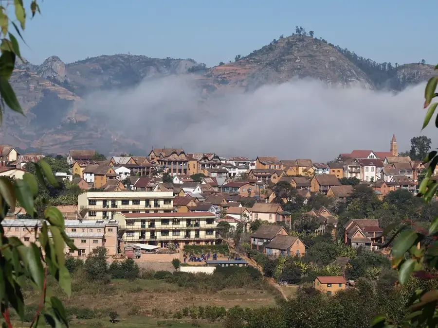
Tsitondroina is a distinctive relief area in west-central Madagascar, characterized by vast savanna landscapes and isolated rocky outcrops. Geologically, the region belongs to the western sedimentary basins, where millions of years of erosion have sculpted flat plateaus and deeply incised river valleys. The landscape features a mix of dry deciduous forests and grasslands that turn lush green during the rainy season and shift to golden hues during the dry months. Tsitondroina provides a crucial habitat for specialized wildlife species that have adapted to significant seasonal variations in food and water availability. The relief is generally less rugged than the central highlands, though it contains occasional geological formations that rise dramatically above the surrounding plains. The region remains sparsely populated and has largely maintained its wild character, making it an important area for studying the ecology of Madagascar's western regions. Watercourses here are frequently seasonal, often drying up almost entirely during the extended dry period.
- Location: Madagascar
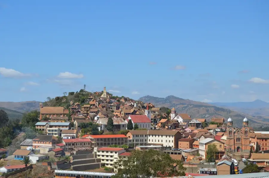
- Nearby: Fianarantsoa (11 km)
Best time to visit & climate
The most pleasant time to visit is Apr, Sep, Oct.
| Jan | Feb | Mar | Apr | May | Jun | Jul | Aug | Sep | Oct | Nov | Dec | |
|---|---|---|---|---|---|---|---|---|---|---|---|---|
| Avg °C | 21 | 21 | 20 | 19 | 17 | 15 | 14 | 15 | 17 | 19 | 21 | 21 |
| Rain mm | 375 | 290 | 238 | 98 | 69 | 63 | 62 | 32 | 32 | 81 | 169 | 266 |
📋 Practical info
Geography
Facts
- The region's geology is primarily composed of sedimentary layers from the Cretaceous.
- Tsitondroina is well-known for its extensive grasslands used for cattle grazing.
- The average elevation of the relief ranges between 400 and 600 meters.
- Endemic baobab trees are found scattered within the dry forests of the area.
- The annual dry season in this part of Madagascar can last up to seven months.
- The area serves as a significant corridor for migratory birds in the west.
Explore nearby
Notable places around
Route planner — Car & Motorhome
Where do you start? We build the route here, with stops and country notes along the way.
© OpenStreetMap contributors · OpenRouteService
Sights nearby
Frequently asked questions
Can you climb Tsitondroina alone?
What is special about Tsitondroina?
When should one visit Tsitondroina?
Are there accommodations there?
What should I consider regarding equipment?
Tsitondroina: where is it located?
Tsitondroina: when is the best time to visit?
Tsitondroina: why is it worth visiting?

Nearby cities
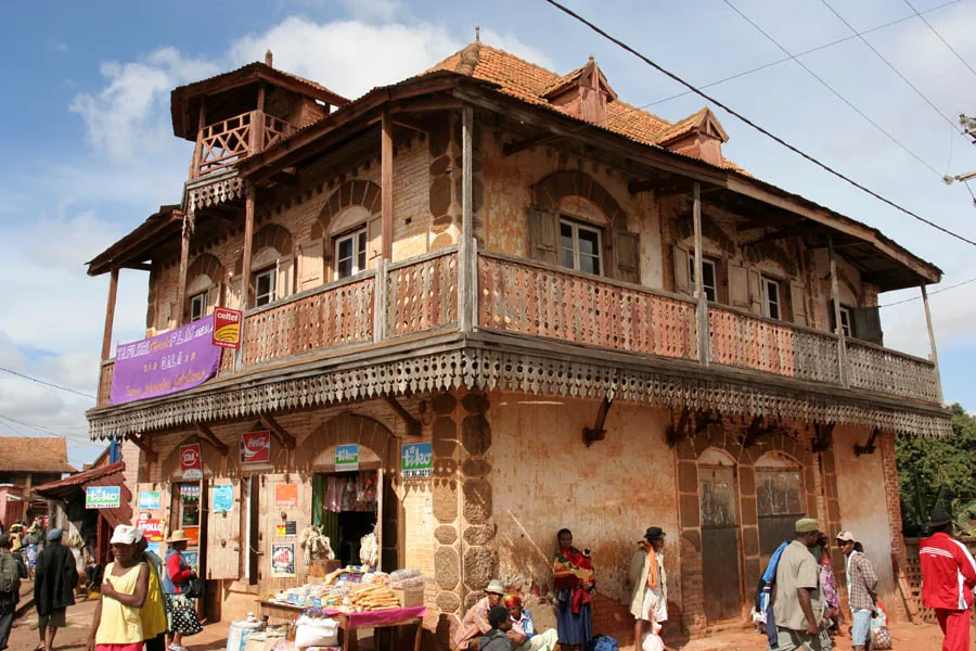
History & landmarks
More places